Showing posts sorted by relevance for query gourdon. Sort by date Show all posts

Loop hike: Bar-sur-Loup to Gourdon


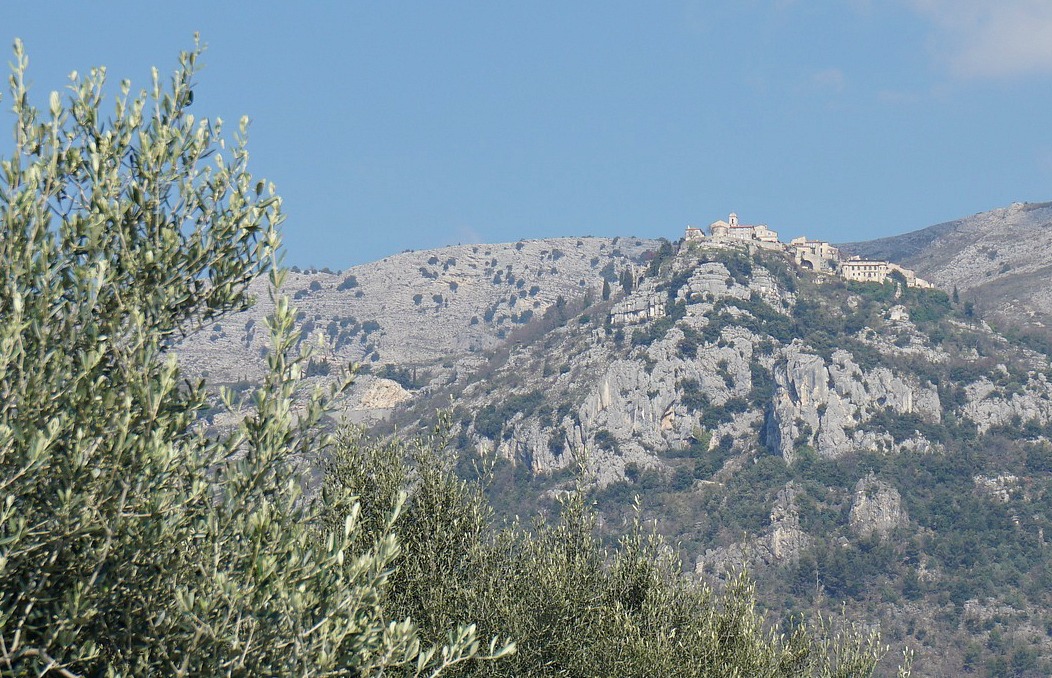
Gourdon and Pic de Courmettes


We decided to ascend from Bar-sur-Loup to Gourdon via Bois de Gourdon and descend along Chemin du Paradis.

Bar-sur-Loup Mairie
Bar-sur-Loup mairie
Chemin de St-Michel
Chemin de St-Michel
GR51 west of Bar-sur-Loup
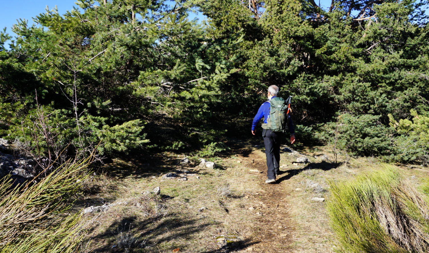
Towards Bois de Gourdon


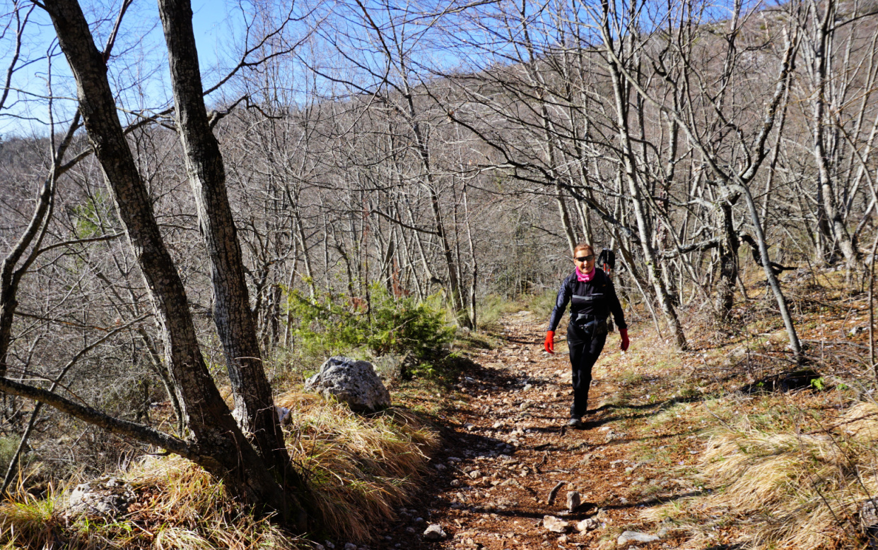
We parked by the D2210 road below Bar-sur-Loup (≈300 m) and climbed to the village square. From there, we headed southwest along Avenue General de Gaulle then Chemin de Saint-Michel. At signpost #21 in front of a small chapel, we forked right and started to climb along Chemin de Bouscarle, passing the last residences. We temporarily merged with the GR51 and followed it to signpost #23. There we forked right, climbed along a forest path to the D3 road and crossed it. We walked past a small parking and signpost #17, and continued along a dirt track 250 m, where signpost #16 guided us to a forest path. We were in Bois de Gourdon which mostly consisted of oak trees.


Bois de Gourdon
Bois de Gourdon
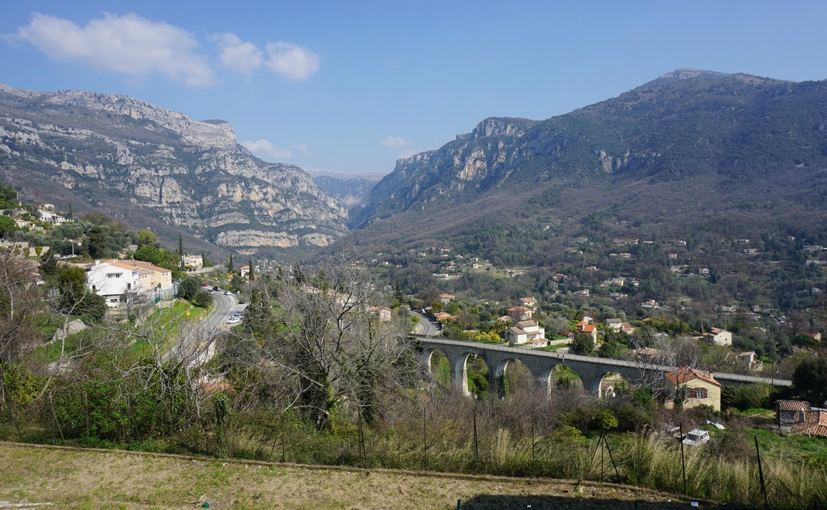
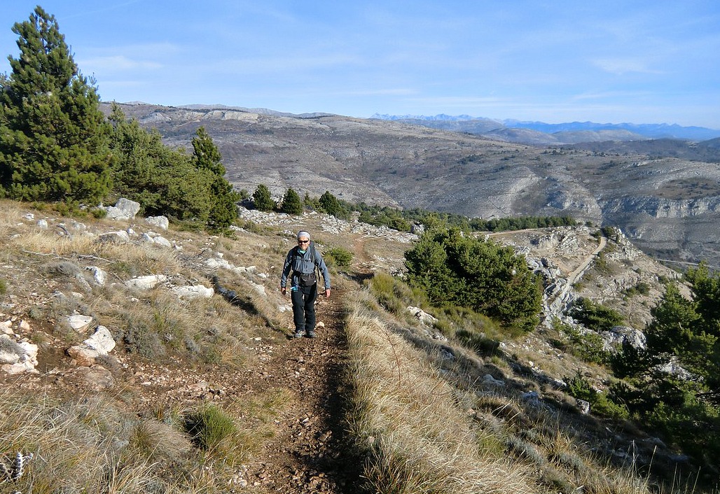
Haut Montet seen from trail
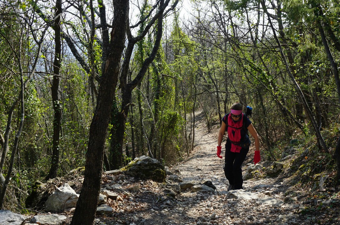
GR51 under Gourdon
GR51 under Gourdon
Chemin du Paradis below Gourdon
Chemin du Paradis GR51
GR51 above signpost#5
Missing bridge over Riou de Gourdon


We ascended a bit more, now straight north to signpost #15, and merged with the same dirt track. At about 790 m, this marked the highest point of the hike. From here, the itinerary followed the dirt track; we descended along it to signpost #14 where we forked right (east) to a paved road (Chemin du Naouq), and walked to Gourdon (740 m), already visible in front of us.


It was a sunny and warm autumn day, and restaurants and shops in the village seemed busy. After a brief stop, we headed back to Bar-sur-Loup. We descended steeply along the familiar Chemin du Paradis trail, also GR51. At signpost #4, we forked right, still following the GR51 trail. The old narrow iron footbridge over Riou du Gourdon had disappeared, and a new one was under construction. Fortunately, the stream bed was dry and could be crossed.


At signpost #18 we left the GR51, forked left and descended back to Bar-sur-Loup.

It turned out to be a great loop mostly along good trails, dirt tracks and paved roads. The rocky trail down from Gourdon always requires surefootedness and some gymnastics was needed to cross the bridgeless stream bed. 


Distance: 11,8 km


Climb: 540 m (about 30 m less if you start from the main square)


Duration: 4h 15 active


Map: 3643 ET Cannes Grasse Côte d’Azur


Bar-sur-Loup Gourdon loop


Gourdon to Colle de Rougiès


Colle de Rougiès summit


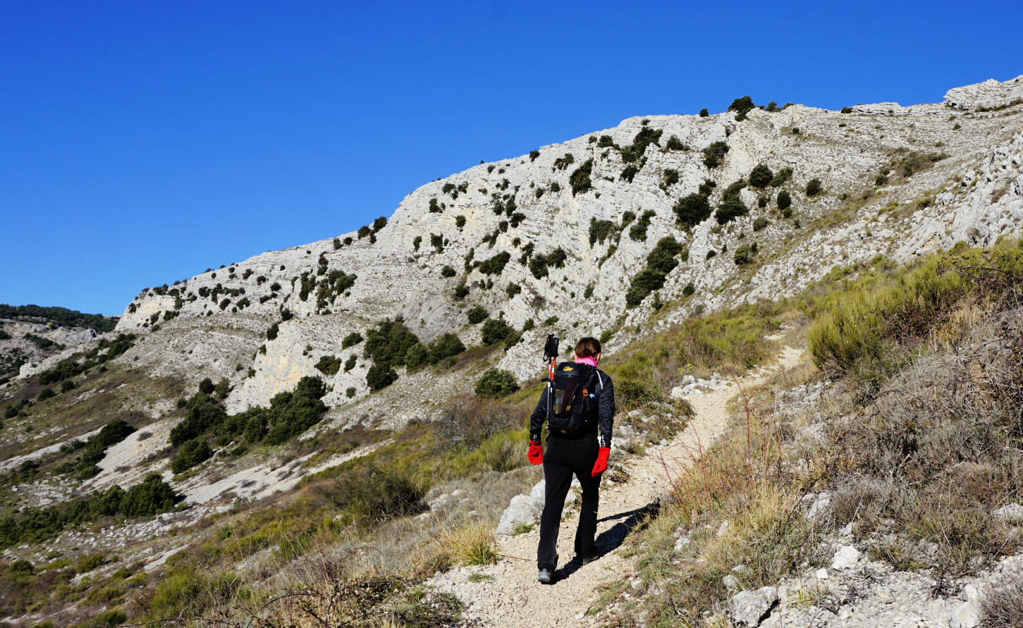
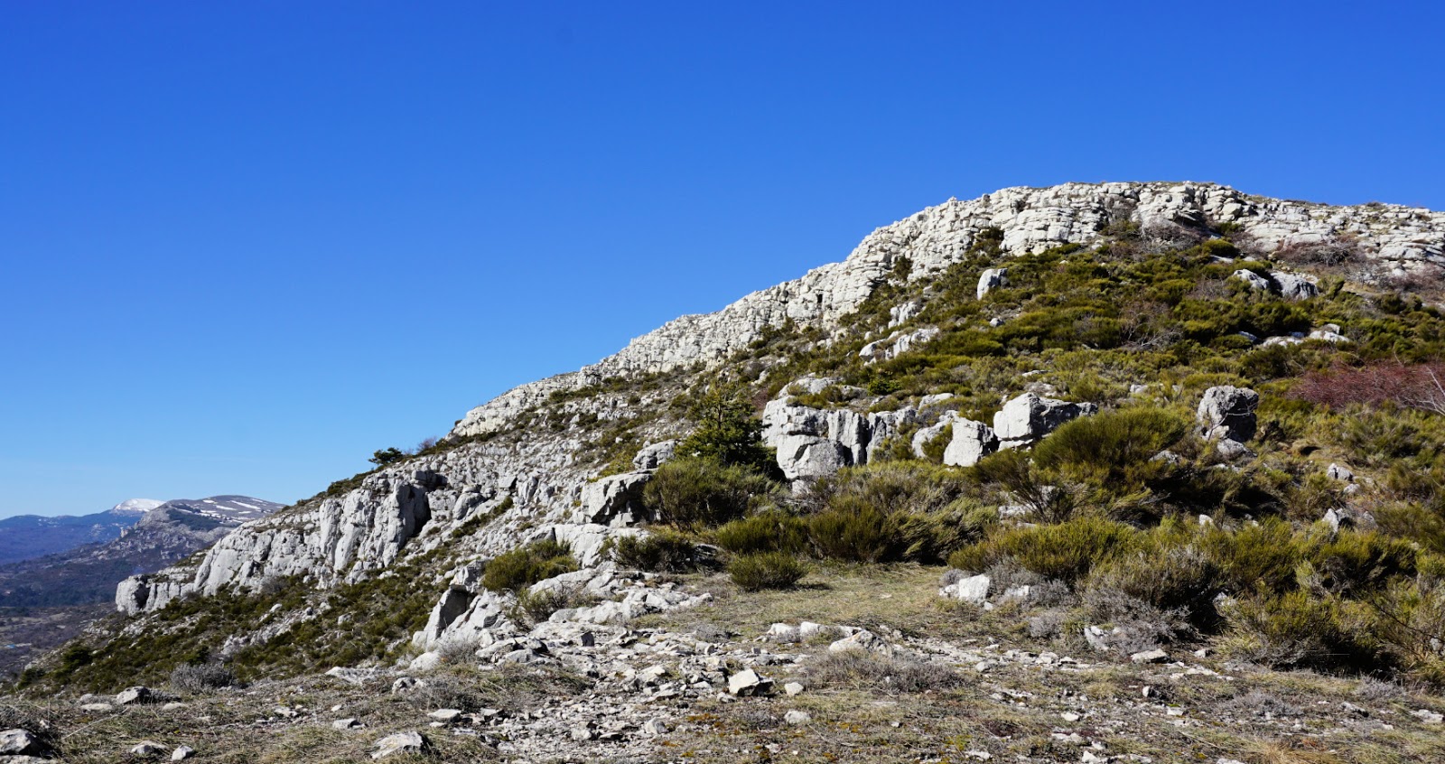
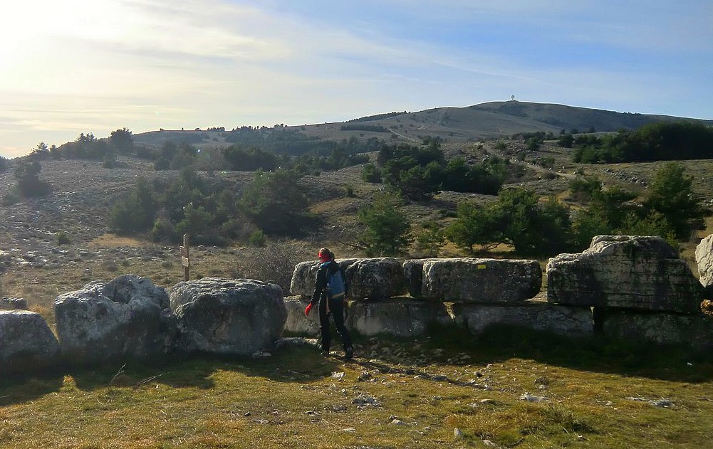
We have previously hiked to Colle de Rougiès (1334 m) by crossing the Caussols Plateau from Les Claps. On a clear day, the ridge offers great hiking, with good trails and super views. We now wanted to explore another itinerary starting from Gourdon.


We drove to Gourdon, turned left at the village entrance taking D12 road which we followed 1.8 km as far as to a parking (840 m elev.) on the right-hand side of the road. From the parking (signpost #12), it took us less than 30 min. to reach the western Col de Cavillore (1030 m elev.). We headed north on Plateau de Cavillore and soon merged with the GR51 trail (signpost #11). We followed the GR51 as far as to the next crossroads at signpost #163 where we forked left.

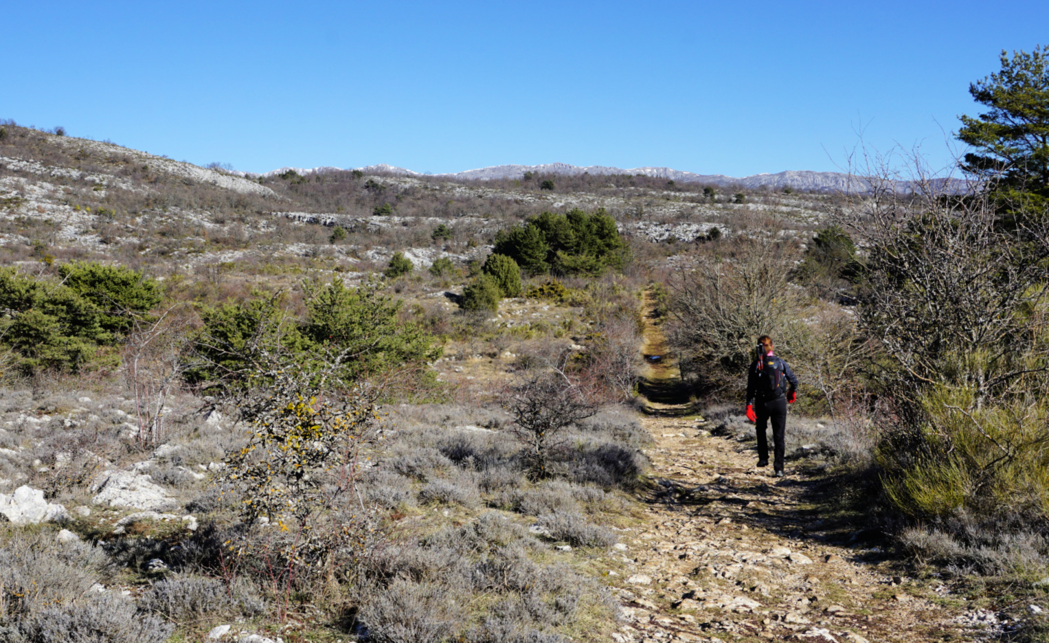
We ascended along the wide eastern slope of the ridge to signpost #46. This is where we ascended to from the Caussols Plateau on our previous hike. We continued along the ridge, still climbing a bit more. The familiar cairn on top of Colle de Rougiès became visible. Fortunately, the winter day remained clear, and the scenery was super! 

We returned along the same trail. There are several avens, or pit/sink holes in this limestone terrain, one just beside the path. Another reason to stay on the trail!

Starting the hike from the Village of Gourdon would take about 40-45 min more each way and include about 100 m more climbing.


Duration: 4 h

Climb: 530 m

Distance: 12 km

Map: Cannes Grasse Côte d’Azur 3643 ET

Gourdon to Colle de Rougiès hike


Winter hike above Gourdon

Ascending from Gourdon


This is a great and easy walk on a sunny winter day! Park your car at the entrance to Gourdon (758 m), a
The hilltop village of Gourdon in winter
charming hilltop village. Gourdon offers breathtaking views, has a few restaurants and small somewhat touristic shops. We suggest that you combine your visit to Gourdon with a less than 3 hour hike to Plateau de Cavillore.

Restaurants at the entrance to Gourdon
Start your hike by following the road to Cassols (RD 12) for about 100 m, then turn right and follow a path first passing a small residential area. The trail then ascends along a slope to the eastern part of Col de Cavillore. All parts of the trail are well marked with yellow. From the Plateau de Cavillore you have magnificent view over the French Riviera.
Approaching Col de Cavillore

The trail turns left and continues along the plateau to the western part of Col de Cavillore. There are signposts showing “Circuit de Cavillore” and cairns to facilitate the orientation.


The zigzagging trail back down is wide and well visible. This part of the route might also be a natural spot for picnic while enjoying the scenery.  If the wind is too strong and cold, you can always try one of the restaurants in Gourdon.
Crossing Plateau de Cavillore the trail marked with cairns


The trail then crosses the RD 12 road at signpost 105. You descend further along a narrow dirt road passing soon the ruins of Chapel St-Vincent. From here, the starting point can be reached in about 15 min.
The wide path descending down from Plateau de Cavillore


Total hiking time:    2, 5 – 3 hours
Vertical climb:        300 m


Description of the hike in French


Map: IGN Cannes-Grasse Côte d’Azur 3643 ET

Chemin du Paradis above the French Riviera

Chemin du Paradis


Bar-sur-Loup (310 m), our starting point today is a rather small village on the RD2210 road above Cannes. But Bar-sur-Loup has its festivities; right now they were preparing for the Orange Festival.

Our goal, the hilltop village of Gourdon (760 m) is totally different. We think it is a bit touristic, but it is nevertheless a nice spot for lunch on a warm and sunny day. On a clear day, the views to the coast are remarkable.


We parked in Bar-sur-Loup in the parking (290 m) by the RD2210 road. From there, we climbed through the old village to the Mairie and continued to Chapel St Claude (320 m). The loop hike is called Circuit du Paradis, and we followed the signposts to Gourdon.  At the Chapel, the trail forked left (yellow signs) and started to ascend, eventually joining the GR51 trail (red and white signs). We continued north along the GR51, which at this point was wide and well maintained. After a while we crossed a small stream called Riou de Gourdon (a tributary of the Loup River) along a rather narrow iron bridge.

We soon came to the crossroads where we joined the Chemin du Paradis, continued ascending along this, walked over the Aqueduc du Foulon, a water pipe catering for the water supply of Grasse. From here, the ascent is somewhat steep all the way to Gourdon, our turning point today. We have made the ascent along Chemin du Paradis previously starting lower from Pont du Loup (about 200 m).

After lunch we descended along the same trail to the crossroads mentioned above, but now continued all the way down to the paved road near Pont du Loup, turned right (south) and walked back to Bar sur Loup (a small ascent). The signpost said 45 min but in reality it is an about 30-minute walk. You can follow this paved road all the way or fork right about 500 m before the village, following yellow marks. This route passes the graveyard and ends in the village centre.

Duration:    3h 30
The Mairie of Bar sur Loup

Vertical climb: about 550 m from the parking by the RD 2210 road

Map: IGN 3643ET “Cannes-Grasse” Côte d’Azur


Circuit du Paradis trail image


From Jam Factory to Gourdon


Christmas seems like a good time of the year to visit a jam factory. And why not combine it with a hike?

Confiserie Florian in Pont du Loup is renowned in the region for its quality products. At the factory, there’s a shop and a possibility for guided tours.

Read more about Florian  here

From Pont-du-Loup ( about 200 m), it is possible to start several hikes. Chemin du Paradis, the scenic trail that ascends to the mountaintop village of Gourdon, is very popular among locals.

You can start from the village Bar-sur-Loup  (320 m) and do the Circuit du Paradis as described in Les Guides Randoxygène, or as in our video clip from Pont-du-Loup which makes the tour a little shorter even though the vertical climb is over 500 m in both variants.
Gourdon (760 m) is one of the most visited perched villages in Alpes-Maritimes.  In Hitchcock’s 1955 film To Catch A Thief the director used a wide, long distance shot of Gourdon to simulate Robie’s luxurious villa although the actual villa was (and still is) in St Jeannet.

Read Trip advisor reviews about Gourdon  here

More about the village here

IGN Map: “Cannes-Grasse” TOP 25 No 3643 ET

/


Boxing day walk above Gourdon

Haut Montet 1335 m with radar dome on summit


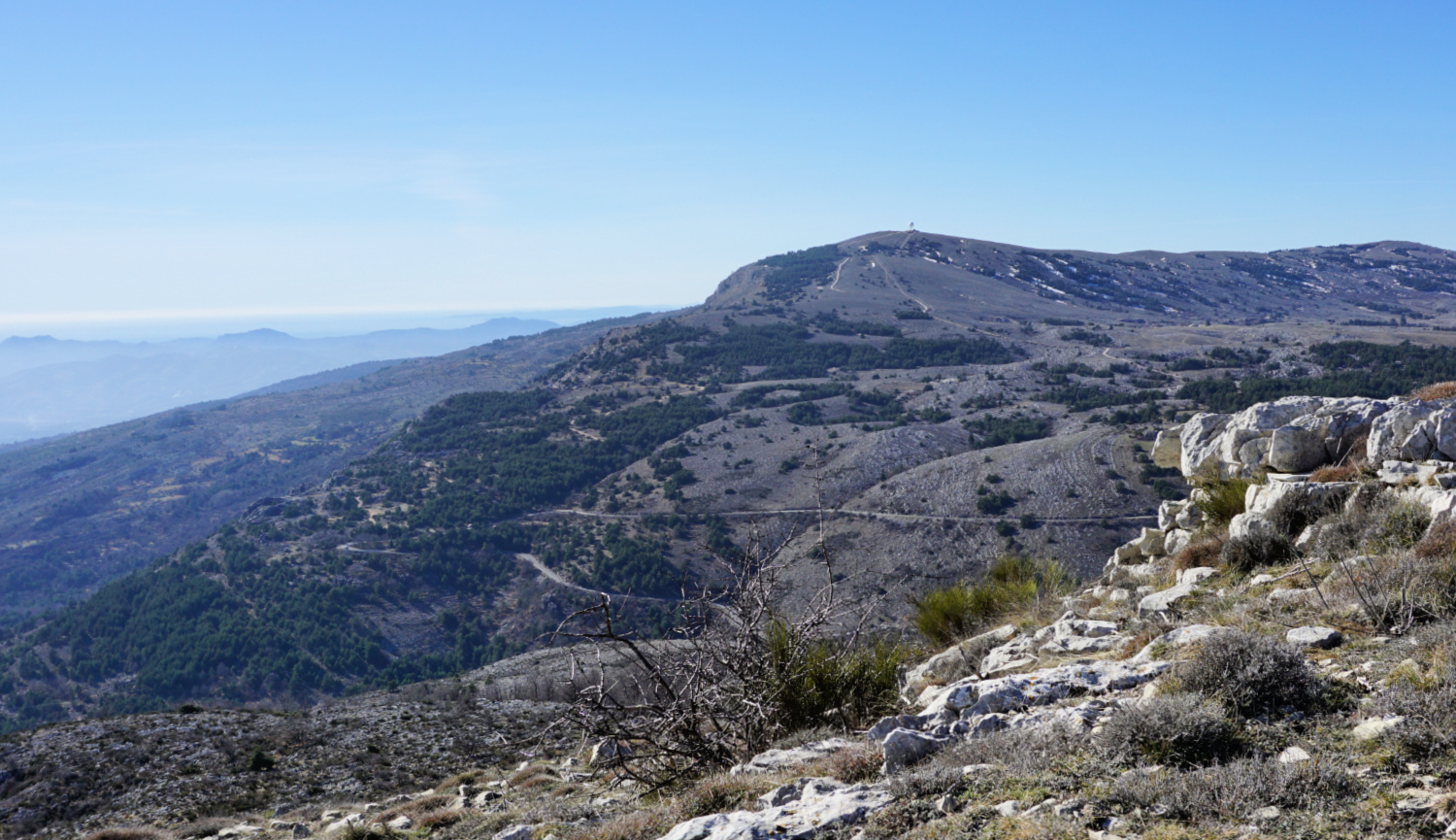
Sometimes an easy walk in fresh and clean air is all you want. This nature walk above the hilltop village of Gourdon (758 m) offers magnificent views on a clear day while the vertical climb is just 250 m.
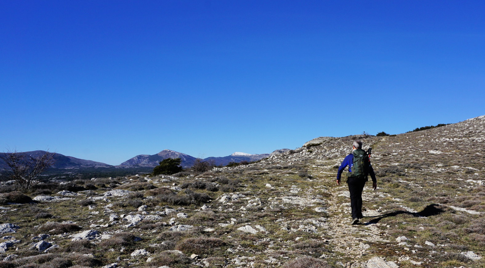
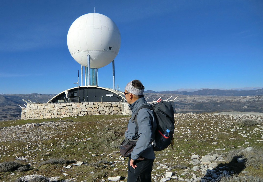
The walk starts from the parking by Chemin des Claps at 1112 m altitude. From the roundabout at the entrance of Gourdon, take the RD12 road to Caussols. Continue about 5.5 km, then turn left and follow chemin des Claps about one km. From Nice, the driving time is about an hour. You’ll see a closed gate and a stone wall, and a narrow paved road behind it leading to the summit of Haut Montet (1335 m). The civil aviation radar dome on the top is clearly visible. In fact, the dome can be seen from many places on the coast. This is also the highest point of the walk.


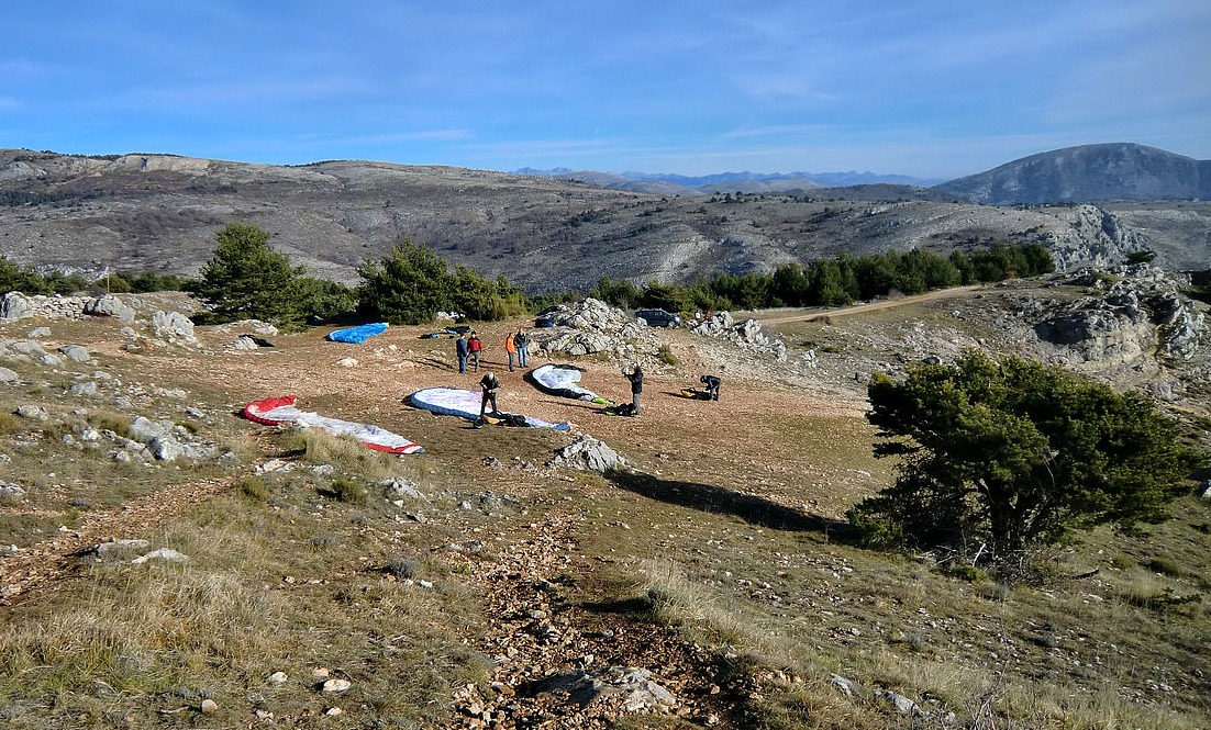
Immediately left of the closed gate there’s an opening in the wall for walkers. Follow the “Circuit du Haut Montet  2h30” signposts. The trail (yellow marks) first takes you to a ridge frequently used by paragliders. The trail ascends gently along the ridge before turning right joining the paved road up to the summit. It is an easy trail but caution should be exercised in poor visibility, and of course in icy and wintery conditions.

We did the walk on a clear albeit a bit hazy day. When we reached the summit, the Mercantour peaks were actually better visible than the coast.

Descend back to the starting point along the paved road.


Duration: 2h30


Map: IGN Cannes-Grasse TOP 25 no 3643 ET


Map image courtesy of Google Maps