 |
| Chateau Grimaldi |
Haut-de-Cagnes is a medieval Riviera hilltop village famous for its artistic past. The village is well visible from the coast. The Grimaldi Castle, Château Grimaldi dominates the old town with its tower over 90 m asl.
We visited Haut-de-Cagnes on Victory Day when both the Château Musée Grimaldi and restaurants on the Place du Château were open. We parked in the centre of Cagnes-sur-Mer and walked through the town, first following traffic signs to Haut-de-Cagnes then ascended along a pedestrian itinerary. It was less than half an hour’s walk to the Place du Château.
 |
| Haut de Cagnes pedestrian route |
 |
| Stairs to Haut-de-Cagnes |
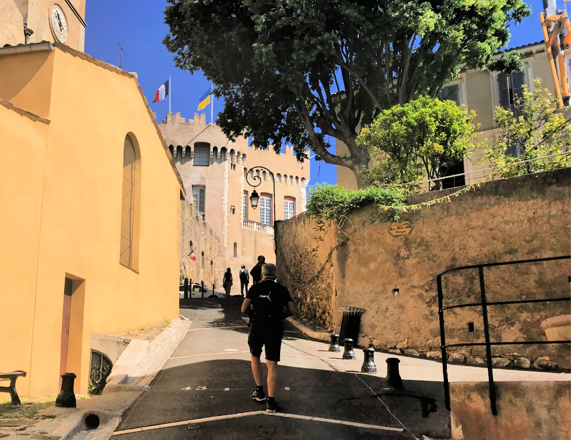 |
| Near Chateau Grimaldi |
 |
| Chateau Grimaldi ceiling |
 |
Chateau Grimaldi inner court
|
We first visited the Château Musée Grimaldi which exhibits lesser-known artists. There is also a room dedicated to Suzy Solidor showing her portraits by various artists. She was a cabaret star/singer/actress whose career in Paris and on the Riviera continued half a century from the 1920s.
The castle itself is well preserved with a remarkable painted ceiling. From the tower, the 360° view is super.
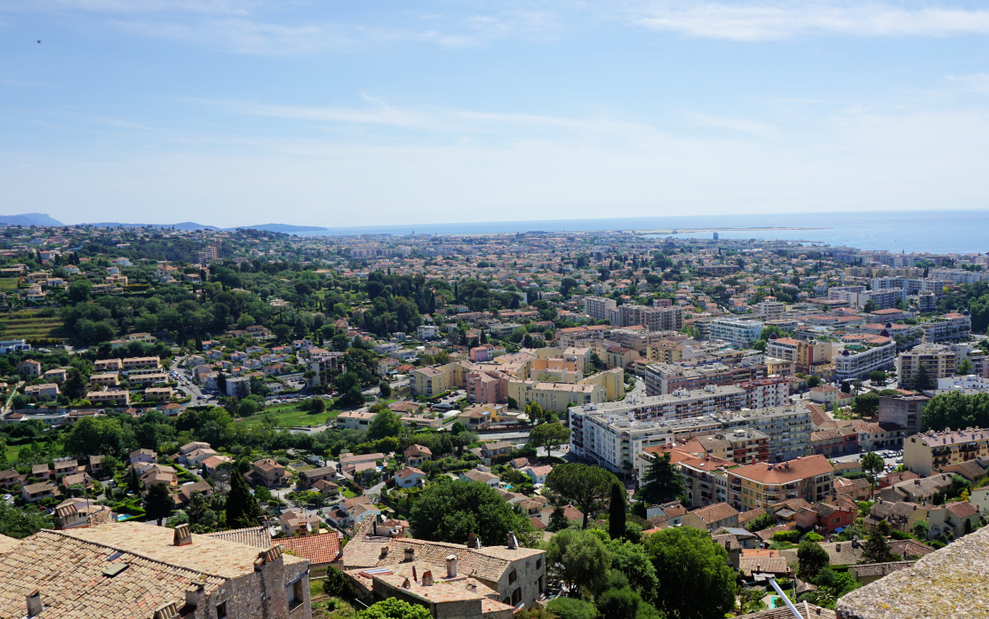 |
| View to east from castle tower |
 |
| View to southwest from castle tower |
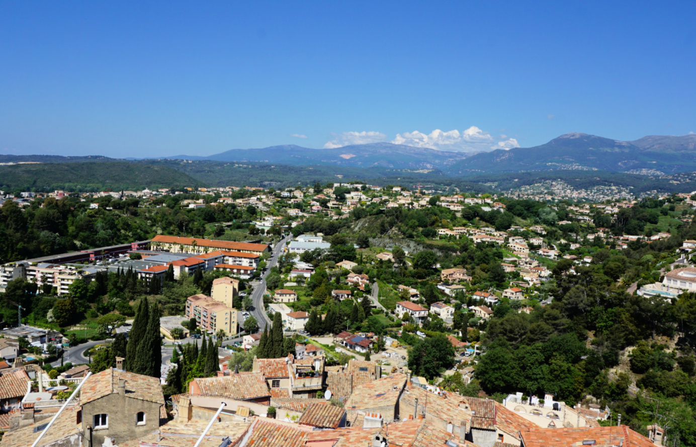 |
| View to northwest from castle tower |
 |
Suzy Solidor portraits
|
According to a recent article in Nice Matin, there are still about twenty artists actively working in the village. They complained that the village lacks visitors because the access is difficult. Well, it’s a short walk from the town centre but involves climbing! There’s a free electric shuttle bus as well.
Haut-de-Cagnes is indeed very quiet compared with St-Paul-de-Vence which draws crowds. But St-Paul also has several art galleries and shops which are open every day whereas the artists in Haut-de-Cagnes only have open doors every first Sunday of the month.
Before walking back, we had a nice relaxing lunch in one of the restaurants on the Place du Château.
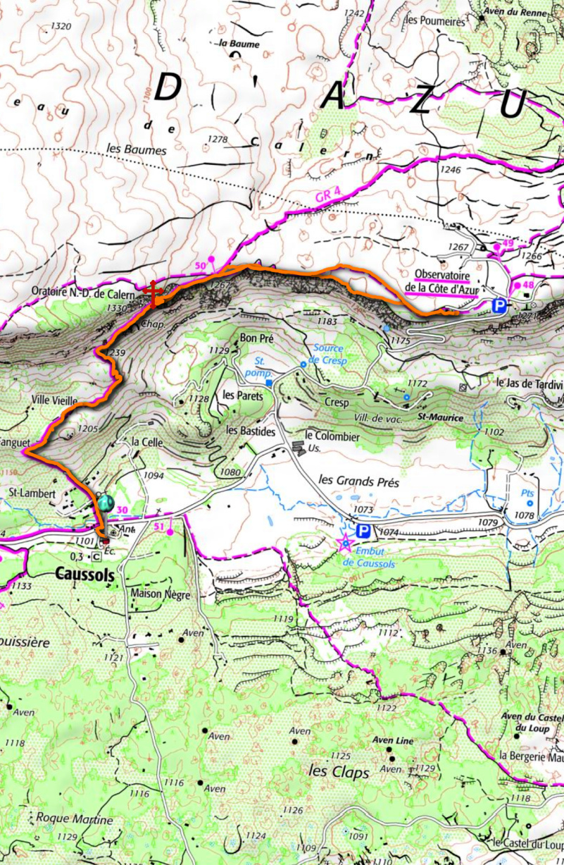
Distance: 3,4 km including the museum
Climb: 110 m including the castle tower
Duration: Less than 1 h from Parking de la Villette to the Place du Château and back
 |
| Haut-de-Cagnes walk track |
It is always a good idea to have cooked white beans in your freezer. I always cook a large amount of white beans, just remember to soak them overnight, and freeze them in batches. These can then easily be incorporated in various stews or soups. They can also be puréed and used as a dip or a part of a salad.
2 servings for a lacto-vegetarian salad
2 handfuls of cooked defrosted white beans
50 ml tasty olive oil
Juice and zest of ½ organic lemon
A pinch of salt (optional)
Freshly ground black pepper
A handful of chopped fresh organic herbs such as basil, chives, parsley, mint etc.
Place all the ingredients in a deep bowl and purée with a handheld mixer into a nice consistence. If needed, add 1-2 tbsp. of water.
Divide the purée in the middle of the plates. Surround with baby salad leaves and parmesan shavings. Sprinkle over olive oil vinaigrette. Serve with some good whole wheat or rye bread for a carefree and super healthy lunch.
Collet de Maçon, our planned goal today, was covered with snow and we decided
instead to hike along the GR4 towards the
Côte d’Azur Observatory situated on the vast Calern Plateau. The
southern flank of
Sommet de Calern
offered a certain microclimate on the sunny winter day, just a few days after
a heavy snowfall.

|
| Caussols Church |

|
| GR4 to Calern |

|
|
Caussols Plateau seen from Calern
|

|
| Colle du Maçon |

|
|
Limestone formations Calern
|
From the Caussols Mairie parking, we crossed the D12 road (signpost
#30) and followed the GR4. There was still a few patches of snow on the
trail. Higher up, we passed the now familiar limestone formations. We
reached signpost #50 on the plateau, and left the GR4. There were several
paths leading to the observatory. We hiked along a trail near the precipice.
The views were spectacular as far as to Mont Mounier in the north.

|
|
Haut Montet viewed from Calern
|

|
|
Mont Mounier seen from Calern
|

|
|
Montagne de Thiey & Sommet de Calern
|

|
|
Cheiron Massif seen from Calern
|

|
|
Cave entrance Calern
|

|
|
Notre Dame de Calern chapel
|
After our picnic, we returned to signpost #50 and continued along the GR4
about 300 m until we saw an unmarked trail up to
Notre dame de Calern, a small chapel built inside a cave. From the
cave entrance, a 10 m long tunnel led to the chapel which was behind a
closed gate. A beautiful shrine!
We descended to the main trail and headed back to our starting point.
Climb: 250 m
Distance: 7.2 km
Duration: 2h 30
Map: 3543 ET Haute Siagne
Chermoula is a Moroccan sauce and marinade usually served with fish or vegetables and chicken. Chermoula was traditionally prepared in a mortar with a pestle to crush all the herbs so that they best released their flavour. Because I am not a fan of fresh coriander I have only used parsley for my chermoula.
2 servings
6 sardine fillets
3-5 new potatoes
2 medium onions
8 black olives, pitted
1 lemon
Olive oil
Freshly ground black pepper
A few sprigs of parsley to decorate
For the chermoula:
4 tbsp. finely cut parsley
1 clove of garlic, minced
2 tsp. paprika powder
2 tsp. cumin powder
2 tbsp. lemon juice
3 tbsp. olive oil
A pinch of salt
Freshly ground black pepper
Preheat the oven to 200° C.
Prepare the chermoula. Crush the minced garlic, a pinch of salt, black pepper, paprika powder, and cumin powder in a mortar with a pestle. Add the parsley, cut finely with scissors, and the olive oil. Juice the lemon and use 2 tbsp. for the chermoula saving the rest for the potato bake. Crush all the ingredients in the mortar into a nice consistence.
Place the sardine fillets on a large plate skin- side up and spread half of the chermoula on them. Cover with foil and keep refrigerated until needed.
Wash and peel the potatoes. Cut into thin slices. Peel the onions and thinly slice them. In a bowl, mix the potato and onion slices with 2 tbsp. olive oil, the rest of the lemon juice, and freshly ground black pepper. Pour into a non-stick oven-proof dish and bake for 30 minutes. Then add the rest of the chermoula and the olives and mix. Continue baking for 30 minutes, covering the dish if needed, or until the potatoes are soft.
Place the sardine fillets on top of the potato- onion bake and return the dish into the oven for 10 minutes. Decorate with a few sprigs of parsley and serve with some wilted spinach or other greens.
In Vaucluse(84), the
Terra Rando
Guide offers over 150 hiking itineraries from short walks to more demanding
routes.
Malaucène is mainly known as one of the gateways to
Mont Ventoux, and not surprisingly shops were full of cycling
paraphernalia.

|
| Malaucène centre |

|
|
Pont Vieux Malaucène
|

|
|
Near Notre Dame du Groseau
|
We wanted to check the longer loop presented in the guidebook. It turned out
to be a variable itinerary, with the best stretches in the middle of the
hike, on the picturesque ridge located south of the town. However, the
return trail from Lac du Paty was less interesting. The marked
trail went near private properties, and at one point free roaming very
aggressive dogs threatened us! The return itinerary also comprised paved
country roads, crossings of the busy N938 road etc.

|
|
Glimpse of Malaucène from trail
|

|
|
Towards Chapelle de Piaud
|
From Malaucène, we followed Av. de Petrarque, then the main road to Mont
Ventoux (D974) about 900 m where we forked right (signposts) before
Chapelle Notre-Dame du Groseau. We then walked past some abandoned
warehouses and located a narrow path which ascended in the woods and soon
crossed the D974 road again. We now headed east and climbed along a good
trail to Chapelle de Piaud which was the highest point of our hike
(about 690 m). We forked right (south), and descended a bit before
crossing the D974 again.
We descended rapidly along a wide but rocky trail to Combe Obscure where
we forked right (south). At a crossroads we took the right-hand path and
climbed to a long, mostly forested ridge. We descended slowly, heading
southwest. We crossed another local road (D19) and continued towards Lac
du Paty (300 m). We passed the Chapelle du Paty a little before the
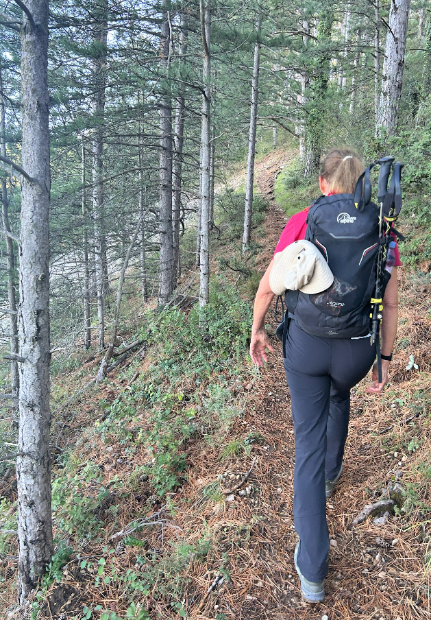
lake. The ascent to Chapelle de Piaud and the long forested ridge marked the most interesting parts of the hike.
|
|
Trail below Chapelle Piaud
|

|
| Near Combe Obscure |

|
|
Glimpse of Mont Ventoux
|

|
|
Ridge above Malaucène
|

|
|
View to south from the ridge
|
The final descent to the lake was steep. We then crossed a parking area,
still following the GR de Pays markings, climbed a bit before turning
northeast where we met the angry dogs. We came to a crossroads near
Font Mourèle, headed north while the GR de Pays trail turned
left. We continued along a narrow paved road to the N938 road, crossed it
and followed yellow markings. The trail made a small detour passing some
vineyards before merging with another paved road, and we climbed along it to
Saint-Michel by the N938 road. To avoid the busy road, our itinerary
forked left and we descended along a paved road about 1,2 km then turned 90°
right (east) then up to Col de Ronin (371 m) where we finally had
Malaucène in sight.
However, the direct pedestrian route (Chemin du Col de Ronin) was
blocked due to construction, and we had to follow the busy N938 down to the
town centre. All in all, we would recommend an out and back hike, having for
example the Chapelle du Paty as a turning point.

|
|
Descent from Malaucène ridge
|

|
|
Near Chapelle du Paty
|

|
| Chapelle du Paty |
Climb: 660 m
Distance: 16,5 km
Duration: 5h 40
Map: IGN 3040 and 3140 ET

|
|
Malaucène loop track
|
The following recipe is a visual delight! If you cannot find good fresh mussels, you can replace them with peeled prawns. We prefer French mussels from Bretagne or Normandy.
2 servings
About 700 g fresh quality mussels
olive oil
1 shallot, chopped
1 clove garlic, minced
150 ml white wine
Freshly ground black pepper
2 tbsp. crème fraiche, 15 % fat
Orzo for 2 servings
About 6 small broccoli bouquets
About 80 g salmon roe in a jar
A few sprigs of parsley to decorate
Start by making the sauce. Warm 2 tbsp. olive oil in a small saucepan over medium heat. Sauté the shallot and garlic for about 5 minutes. Add the white wine and black pepper and cook until reduced by half.
Cook the orzo according to the advice on the package. Drain and return to the saucepan. Pour the white wine sauce to the saucepan with orzo and mix. Cover and keep warm. Stir in the crème fraiche just before serving.
Wash the broccoli bouquets and cook in a small amount of boiling water until soft. Drain and return to the saucepan. Cover and keep warm.
Wash the mussels in running water. Discard any with damaged shells or which do not close if banged hard on the kitchen sink. Warm 2 tbsp. olive oil in a large heavy saucepan over medium-high heat. Add the mussels and cover. When steam starts forming cook for 4- 6 minutes until the mussels have opened. Take them from the saucepan with a slotted spoon. Remove the mussels from their shells and discard any that have not opened.
Divide the orzo and its sauce in the bowls. Add the mussels and broccoli. Dot with salmon roe and decorate with parsley sprigs.
The picturesque village of Gigondas in the Vaucluse Department is famous worldwide for its excellent wine. The following hike suggested in the TerraRando guide offers great views down to the village as well as the Dentelles and the vast Rhone River Valley.
 |
| Gigondas main street |
 |
| Chemin de la Canal |
 |
| Crossroads near vineyard |
 |
| Climbing to Col du Cayron |
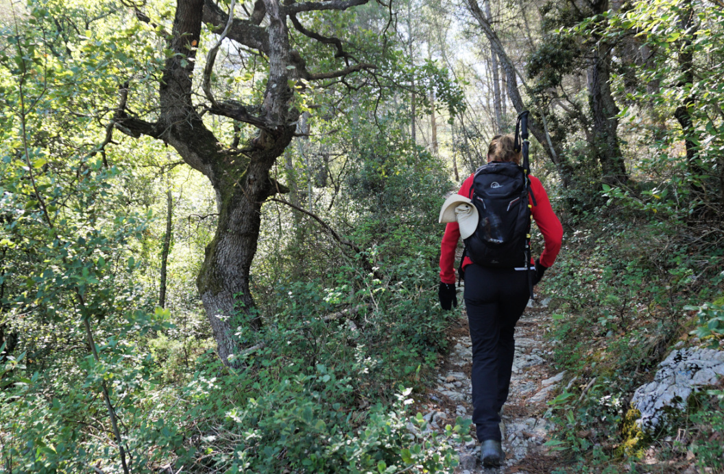
We opted for the shorter version of the hike. Starting from the main square, we followed Rue Eugène Raspail less than 200 m, forked right at the signpost showing Col du Cayron, Les Hospices etc. and soon continued along Chemin de Font Saine. After almost 1 km from the start, the shorter itinerary forked right just before a small vineyard. We ascended along a narrow trail, now heading south. Following the signs and markings, we eventually reached a wide track and climbed to Col de Cayron (394 m).
We forked right (west) still along a wide track, and reached a crossroads after 1,1 km where we took a detour (some stairs) to Rocher du Midi (470 m), the highest point of this hike with great views of the surrounding landscape.
We descended to Chemin des Dentelles de Montmirail (partly paved) and followed it back to the village.
It was a perfect morning hike and we were back for lunch in one of the Gigondas restaurants.
 |
| Dentelles above Gigondas |
 |
| Hills above Gigondas |
 |
| Stairs to Rocher du Midi |
 |
| Rocher du Midi Gigondas |
Distance: 6 km
Climb: 250 m
Duration: 2 h


