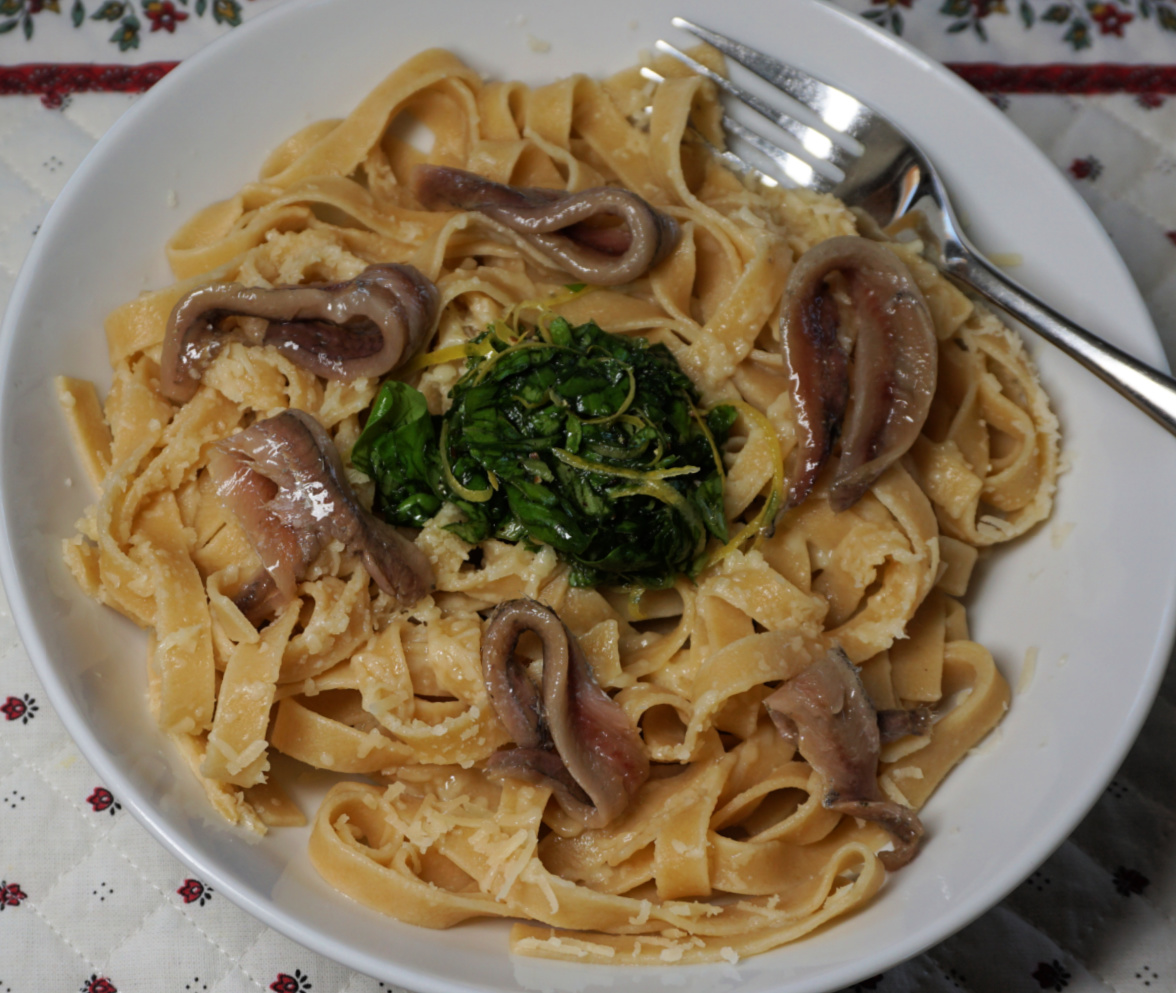
This lemon tagliatelle recipe is perfect to make in spring when fresh basil is again available and tasty local lemons are still in season in Nice. Serve the pasta with some anchovies or chopped Parma ham for a simple but tasty lunch.
2 servings
Whole wheat tagliatelle for 2 servings
2 handfuls of grated parmesan
A generous handful of chopped basil
Juice and zest of 1 organic lemon
Olive oil
Freshly ground black pepper
A small tin of anchovies
In a small bowl, soak the anchovies in water for about 10 minutes to remove some of the salt. Spread on kitchen paper to dry.
Grate the parmesan, set aside.
Zest and juice the lemon into a bowl. Add 1 tbsp. very good and tasty olive oil, some black pepper, and the chopped basil. Mix into a basil pistou, thick basil sauce.
Cook the tagliatelle, drain and divide into bowls. Fold in the parmesan with a fork. Place the lemon pistou in the centre and divide the anchovies around it.
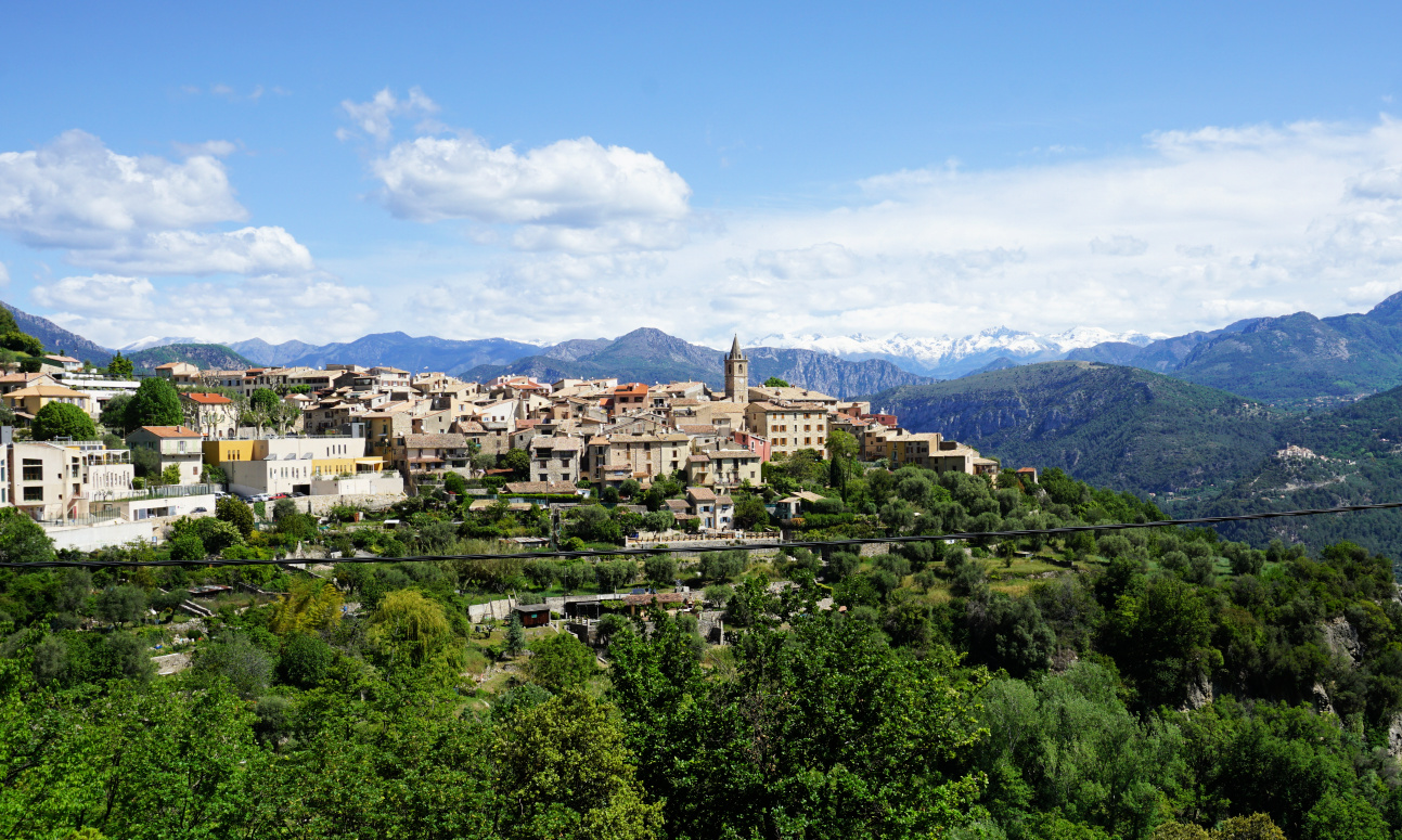 |
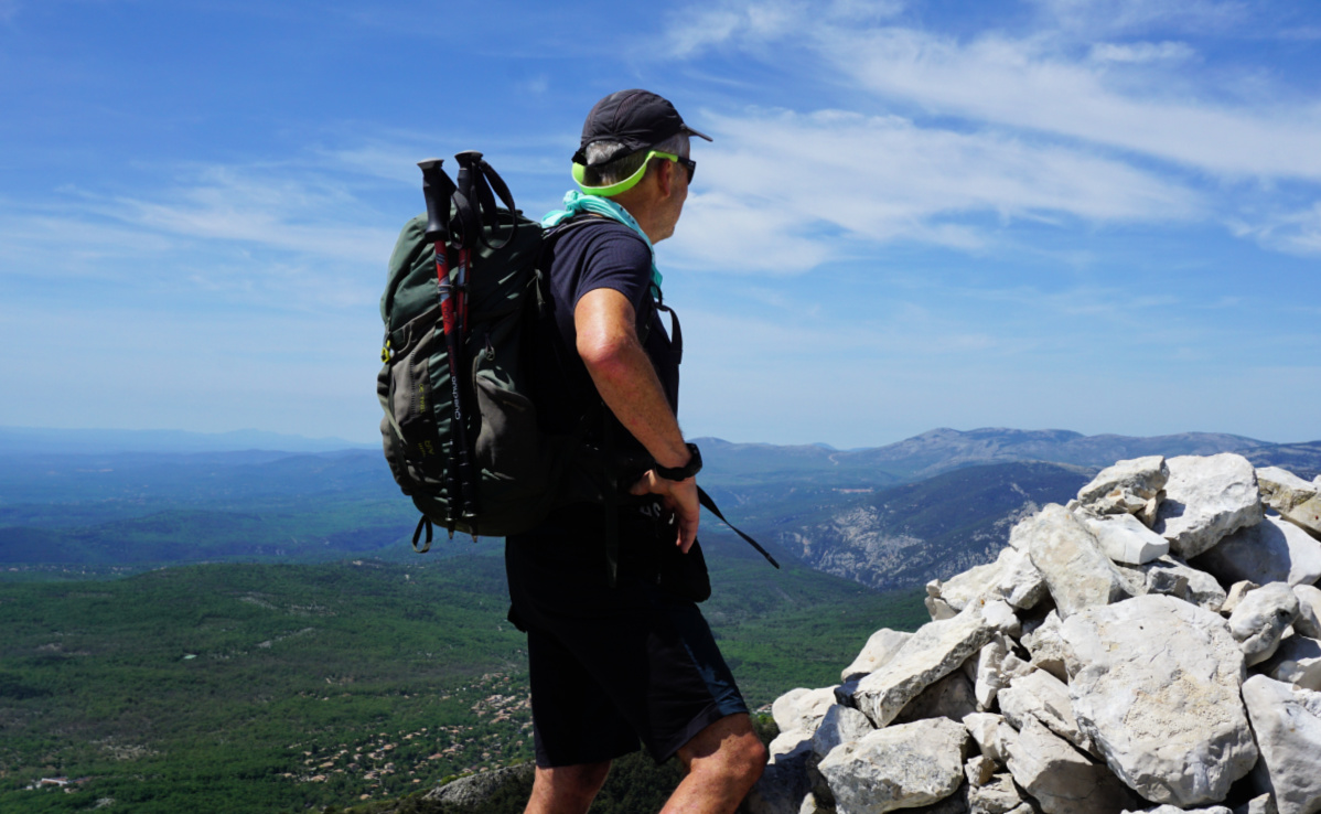
| Le Broc and Mercantour peaks |
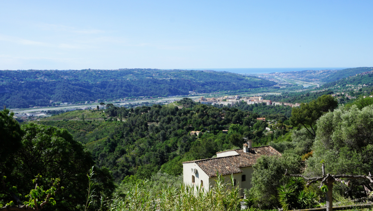
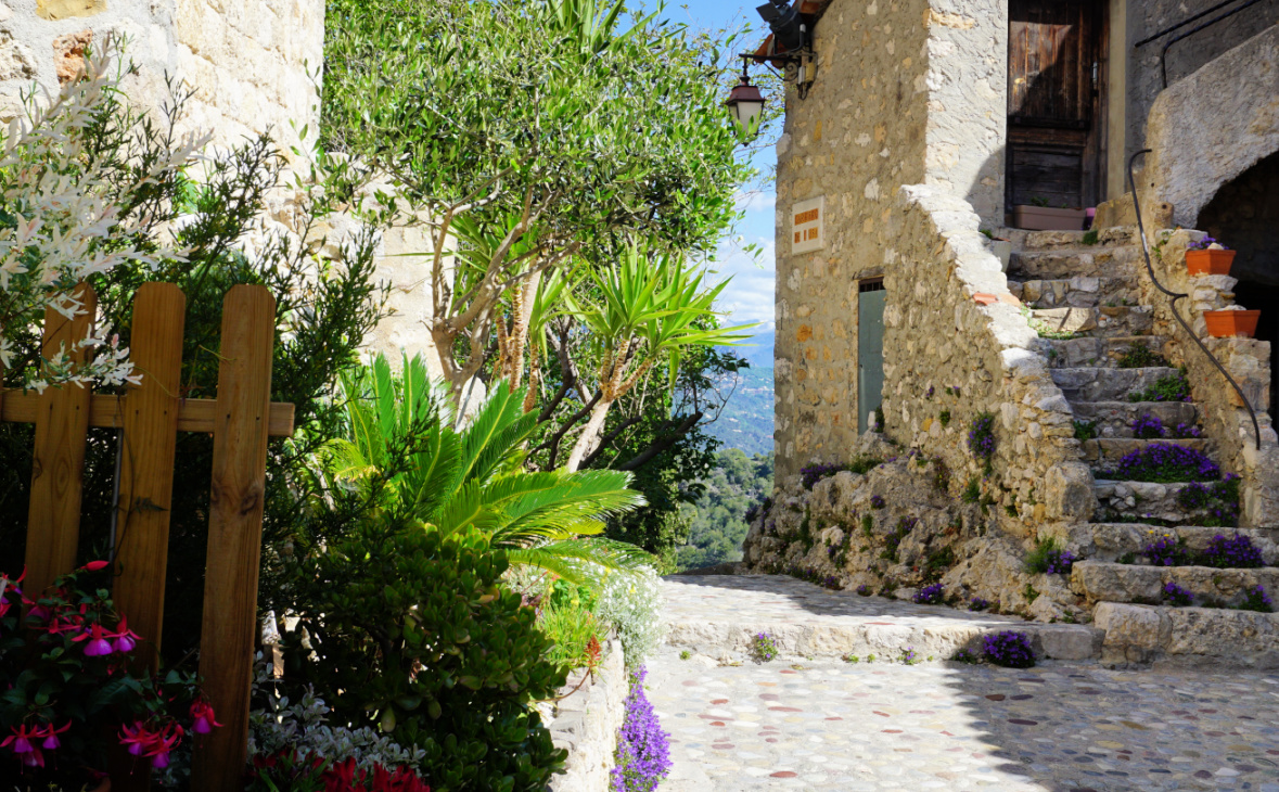
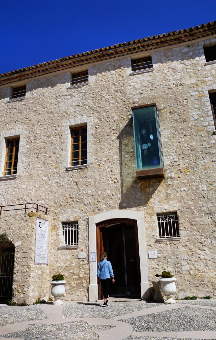
Our original plan was to visit the museum in the castle in the old village of Carros (parking 350 m) before the walk. The opening hours, however, were a bit odd, starting at 1130 am so we did not want to wait over one hour but headed towards Le Broc (450 m).
 |
| Var Valley seen from Carros |
 |
| Alley in Carros Village |
 |
| Chateau in Carros Village |
 |
| View northeast from trail to Le Broc |
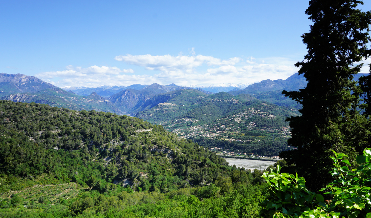
We followed the direct route, first along the paved Chemin du Claret to Chapelle St. Sebastien (about 470 m). Traffic was light, mostly to local properties. After the chapel, the trail continued as a dirt road, with impressive views down to the Var River Valley and beyond. The itinerary was straightforward, even signposted and marked with yellow. From the trail, we could admire the white Mercantour peaks contrasting the spring greenery around us.
After the long drought, the region had had some recent rain, and the artificial Lac du Broc visible from our itinerary apparently had now somewhat more water compared with the images from last autumn. Even so, the current level of the lake reflecting the ground water situation is still considered critical.
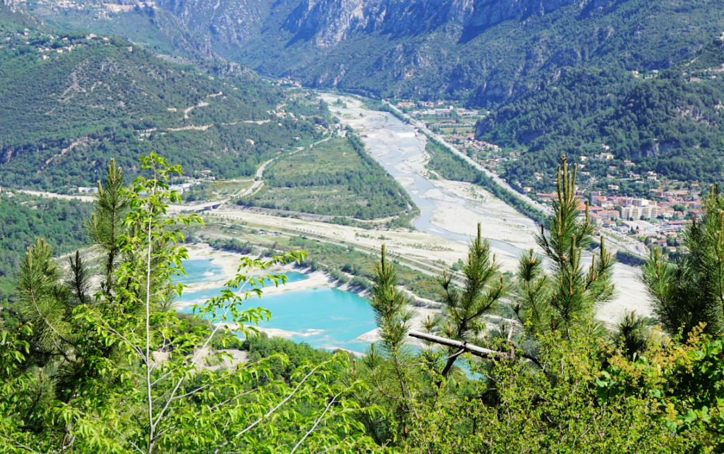 |
| Lac du Broc |
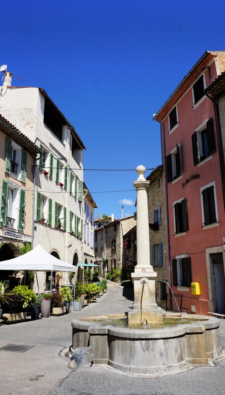 |
| Le Broc La Fontaine |
 |
| Le Broc town hall |
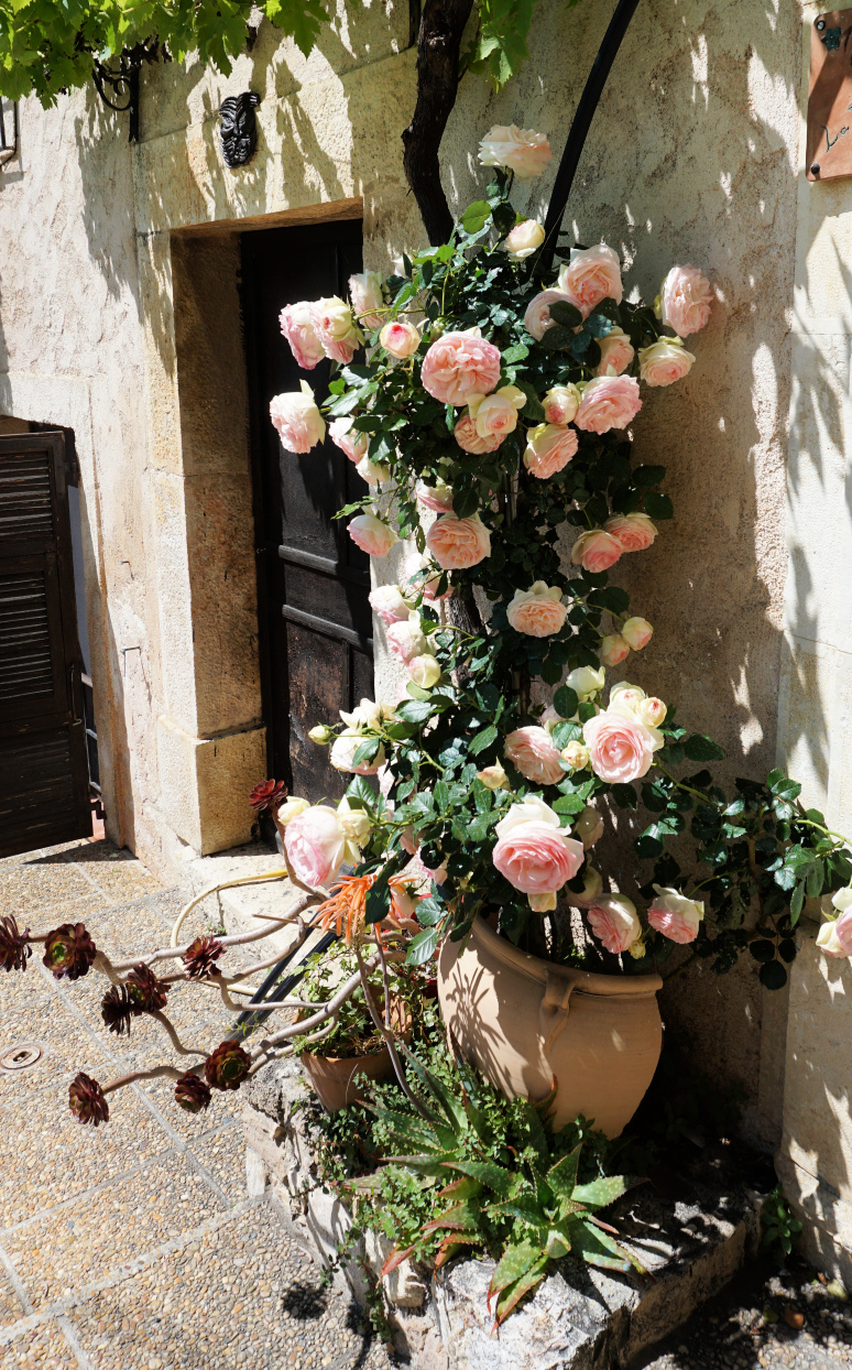 |
| Roses in Le Broc |
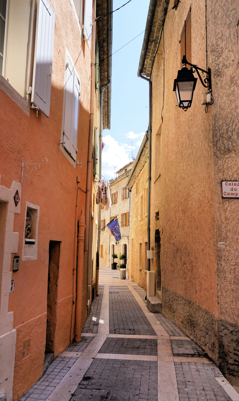 |
| Narrow alley in Le Broc |
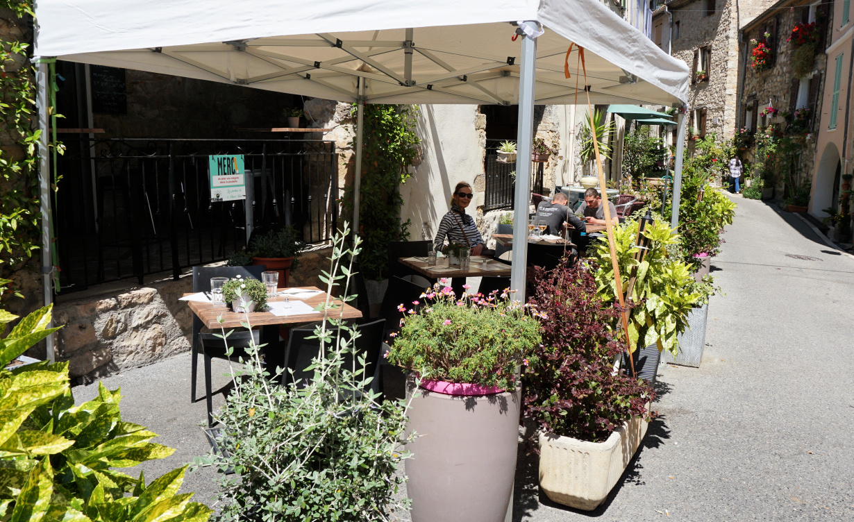 |
Bar in Le Broc
|
The village of Le Broc was quiet on the day of our visit. We strolled around the narrow well-maintained streets. Some businesses were closed at lunchtime.
We had lunch among the locals on the terrace of a bar on the Place de la Fontaine. It was a simple lunch omelette, frites, salad and a glass of rosé. The food was tasty and made from fresh ingredients, and the price level was totally different from the busy coast.
All in all, it was a quiet easy walk between two perched medieval villages.
Climb: About 200 m with some walking in both villages
Duration: 2 h stops not included
Some previous hikes and walks in the same area:
http://www.activefrenchriviera.com/2019/01/mouton-danou-from-le-broc.html
http://www.activefrenchriviera.com/2017/02/new-loop-trail-above-carros-village.html
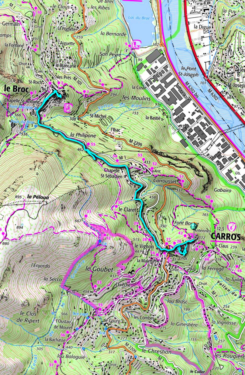 |
| Carros to Le Broc walk |
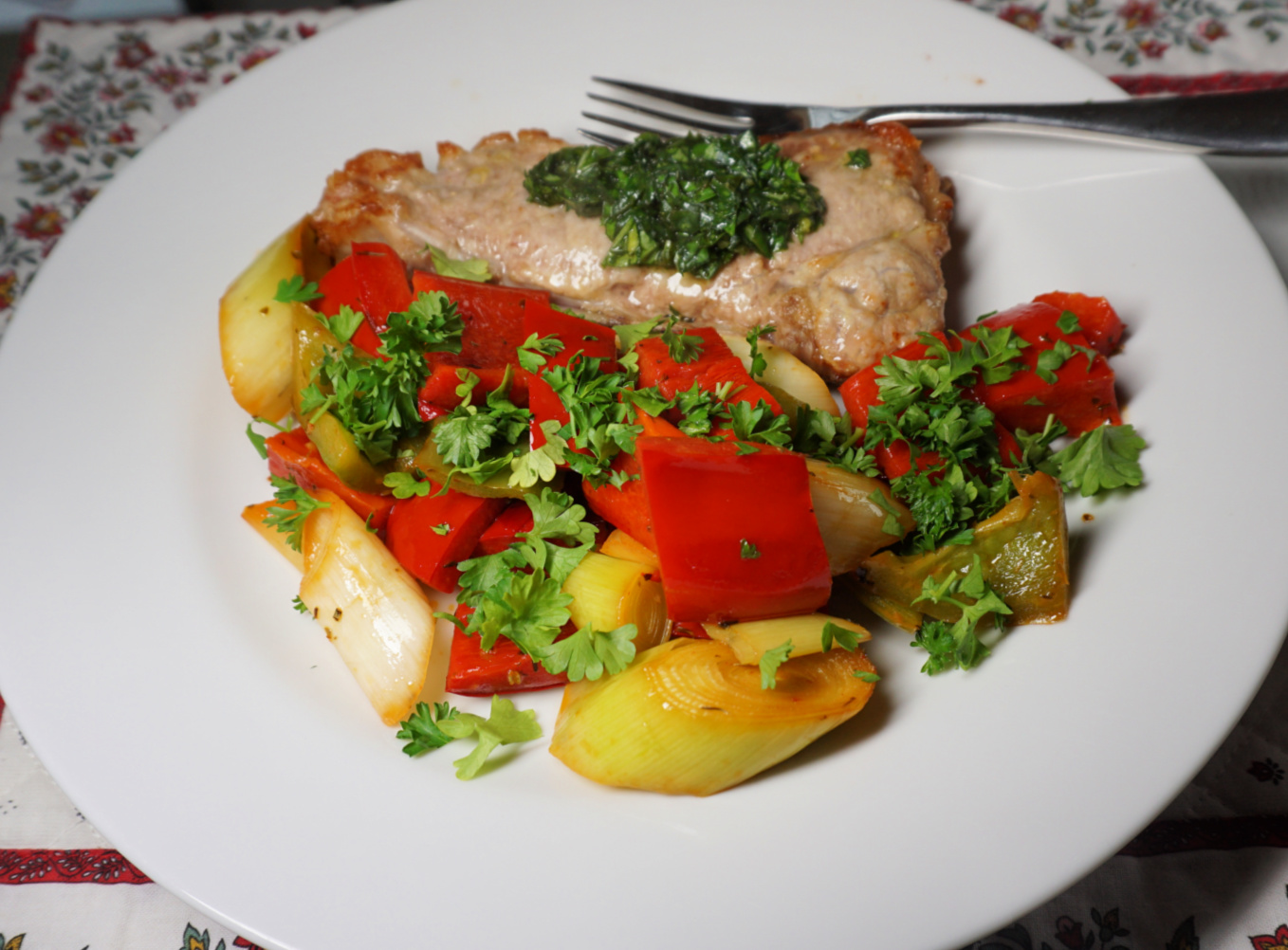
This simple but tasty vegetable stew goes well with some meat or chicken. In the photo, it is served with veal chops.
2 servings
1 leek, cut into about 1,5 cm pieces with
1 red bell pepper, cut into about 1,5 cm chunks
1 green bell pepper, cut into about 1,5 cm chunks
1 clove garlic, minced
1 tsp. dried Provençal herbs
2 tbsp. olive oil
2 tbsp. balsamic vinegar
Freshly ground black pepper
Chopped parsley
In a sauté pan, warm the olive oil over medium heat. Add the leek and bell peppers and stir well. Add the garlic and Provençal herbs. Cover the pan and cook for 10 minutes, stirring occasionally.
Add the balsamic vinegar and cook for a further 10 minutes without the lid. Add the black pepper and sere decorated with chopped parsley.
 |
| Escoffier Museum entrance |
Saturday morning was sunny after the previous night’s thunderstorms. It was a market day in the old village of Villeneuve-Loubet, and it was bustling. We had to park a bit further, near the Pôle Culturel on the other side of the river Loup.
We followed a nice pedestrian path named Balade Escoffier to the town hall. It was a 10-15 min. walk. We used a footbridge to cross the river. After having checked the market, we headed to the nearby Escoffier Museum.
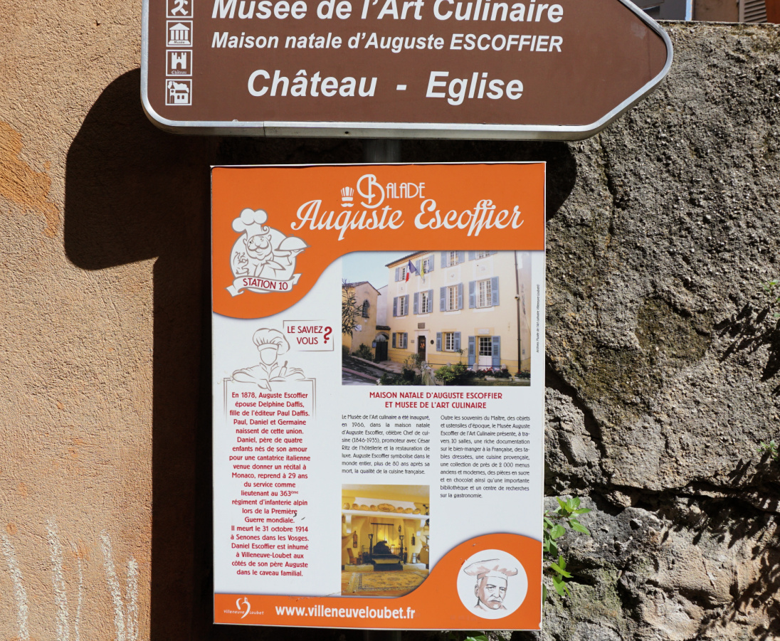 |
| Balade Escoffier guide |
 |
| Along the Loup River |
 |
| River Loup |
 |
| Footbridge over River Loup |
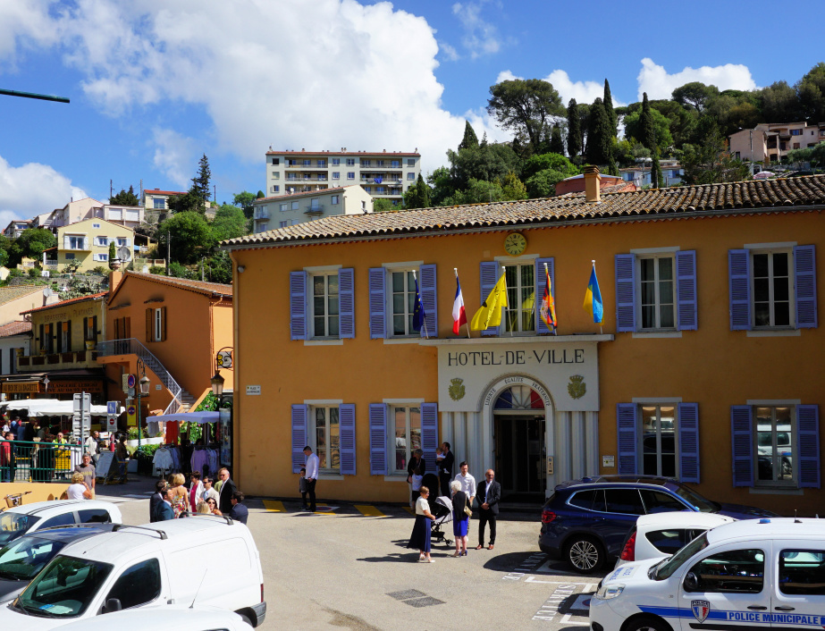 |
| Town hall Villeneuve Loubet |
Auguste Escoffier (1846-1935) is considered the father of modern French gastronomy. He popularized and modernized traditional French methods. The house where he was born is now a museum, run by the Auguste Escoffier Foundation.
The well-kept museum itself is not big. The first room displayed kitchen paraphernalia related to cooking of Escoffier’s era as well as a summary of his life and career. There were rooms dedicated to various desserts and menus from renown restaurants from both his era and more modern times.
 |
| Auguste Escoffier |
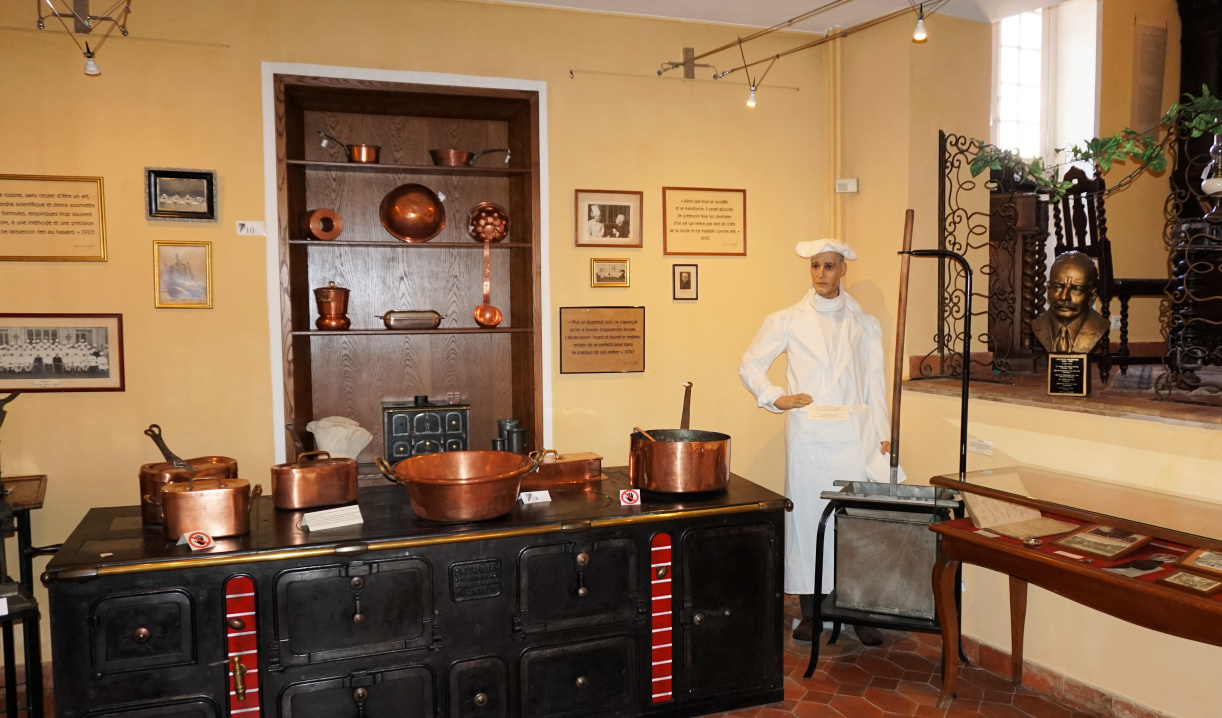 |
| Inside Escoffier Museum |
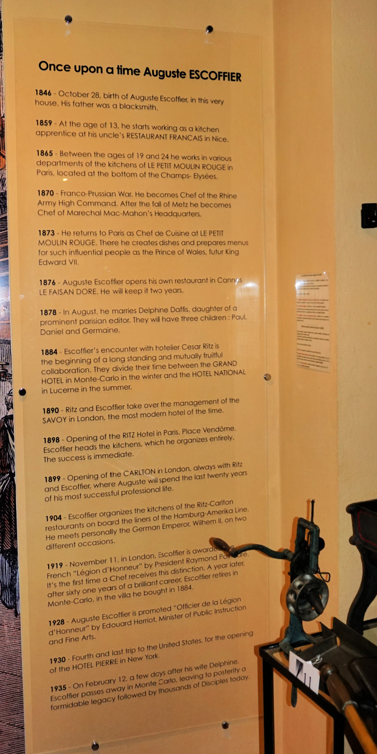 |
| Escoffier career timeline |
 |
| Desserts Escoffier Museum |
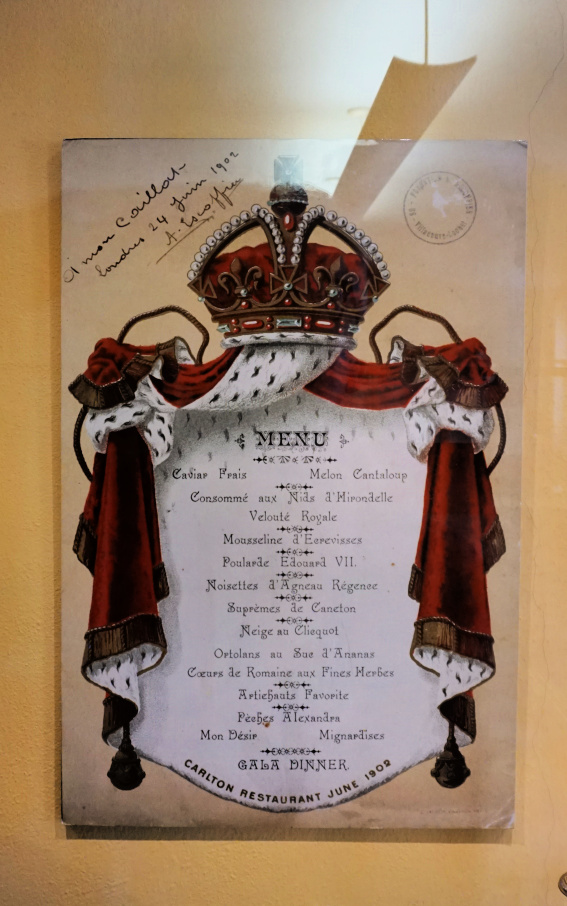 |
| Carlton menu 1902 |
After the museum, we ascended along Rue Escoffier above the village to a viewing point next to the church. The medieval fortress on the hilltop was closed, tours on Wednesdays only during the peak summer period. We completed our visit with a leisurely lunch at Place de Verdun near the town hall.
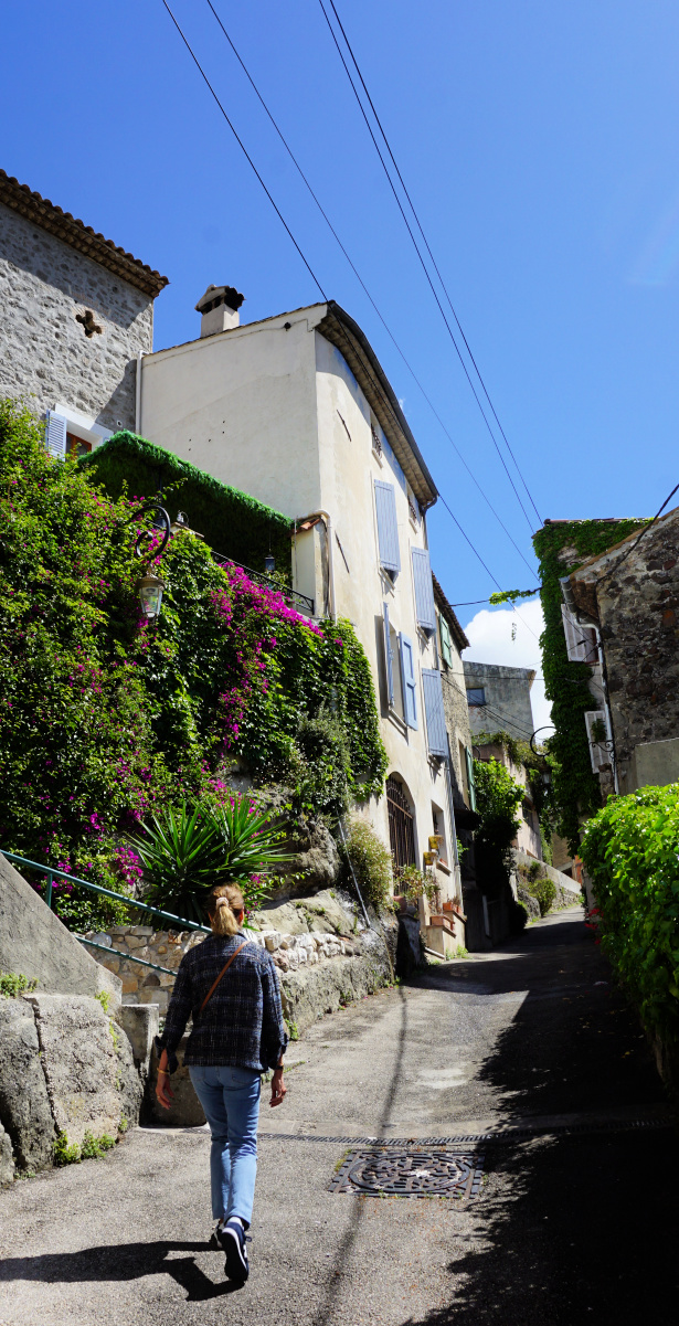 |
| Rue Escoffier |
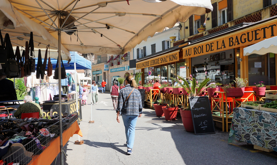 |
| Saturday market Villeneuve Loubet |
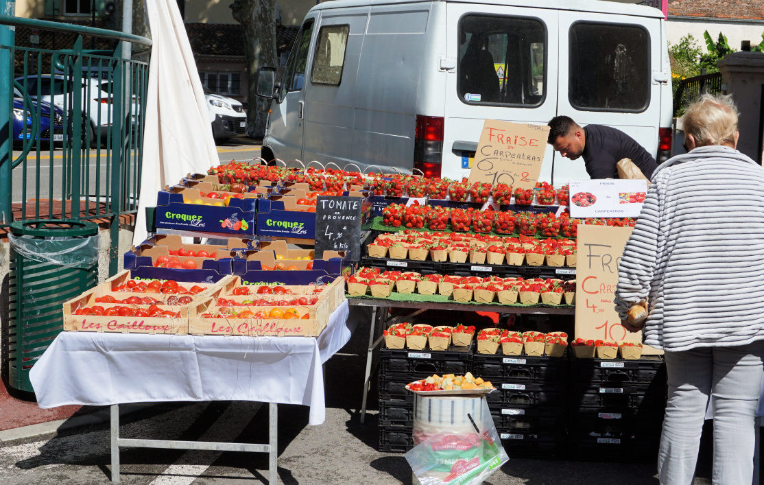 |
| Market stand Villeneuve Loubet |
This recipe is my twist of saffron sauce using healthy Mediterranean ingredients, no butter or cream needed.
The sauce goes well with fish and seafood and is also nice with pork chops and chicken legs. In the photo, the sauce is served with quickly roasted scallops, black rice, and steamed broccoli.
2 servings
1 shallot, minced
1 clove garlic, minced
Olive oil
150 ml chicken stock
100 ml white wine
1 tbsp. balsamic vinegar
A pod of saffron pistils
Juice of ½ lemon
Freshly ground black pepper
Warm 1 tbsp. olive oil in a saucepan over medium heat and sauté the shallot and garlic for 5 minutes. Add the chicken stock, white wine, balsamic vinegar, and saffron and cook until reduced by about half. Before serving, add the lemon juice, black pepper, and whisk in 1 tbsp. really good and tasty olive oil.
The prehistoric ruins of Castellaras de la Malle dating from the iron age are located at about 1200 m elevation about 6 km north of Grasse and 3 km east of Saint-Vallier-de-Thiey as the crow flies.
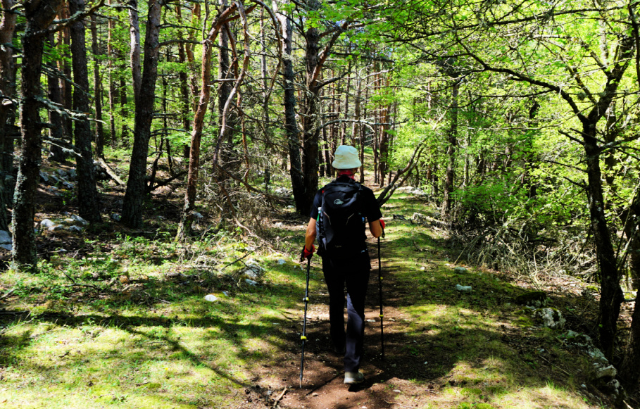
The site can be reached by a good hiking trail from Col du Pilon (783 m) by the 6085 road. We used the spacious parking 100 m before the col. From the parking, we took a shortcut directly to the trail. It was initially a wide dirt track, then a good albeit rocky path marked with yellow. We first ascended in the woods which protected us from the spring sun. Higher up, there were more open stretches. We reached signpost #57, and passed ruins of an old stone dwelling. The itinerary was well marked.
 |
| Departing from Col du Pilon |
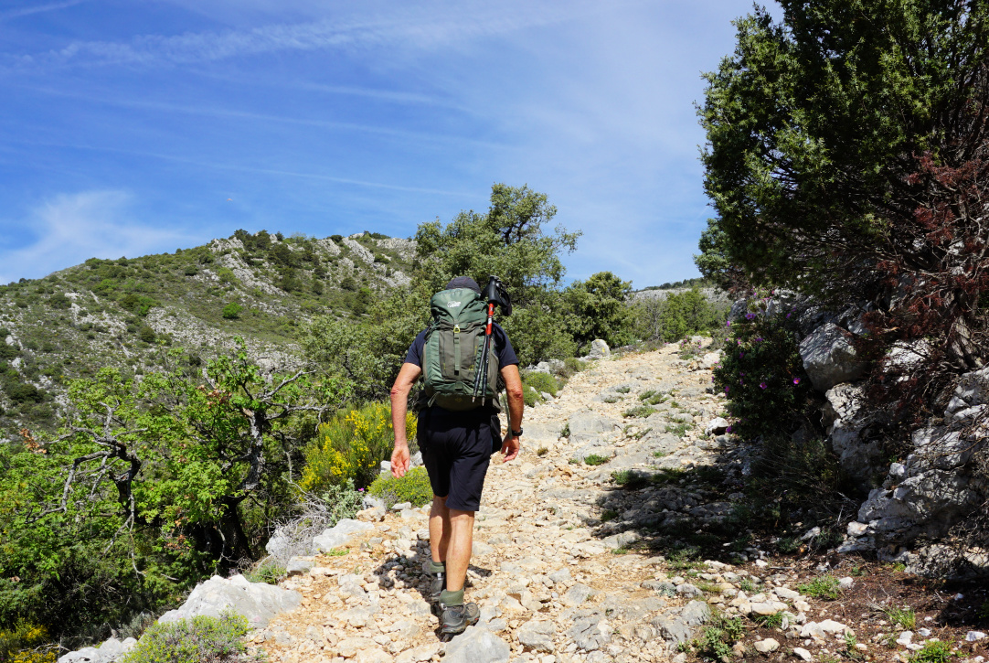 |
| Towards signpost 57 |
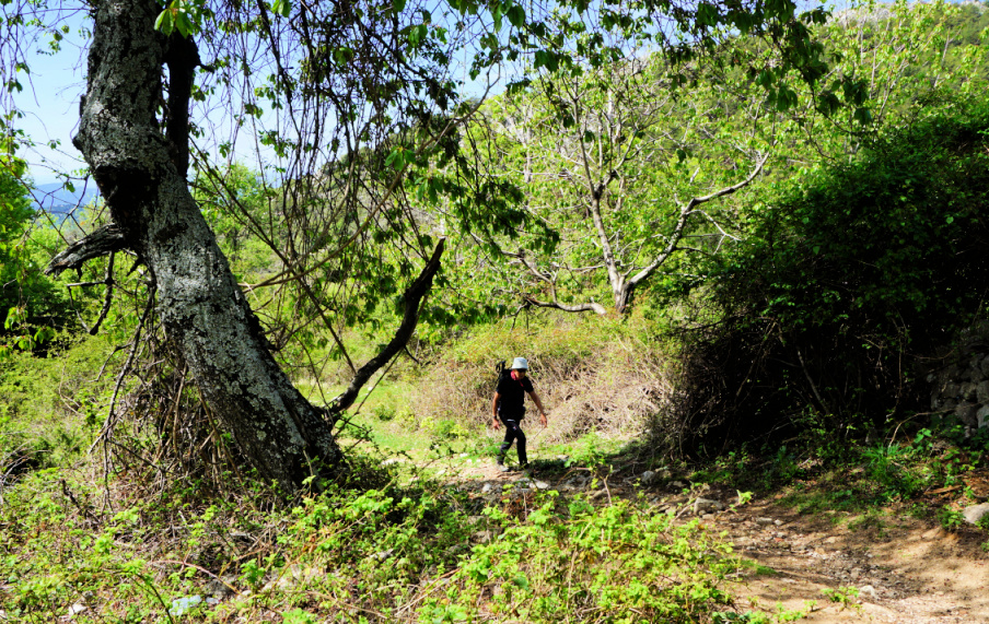 |
| Above signpost 57 |
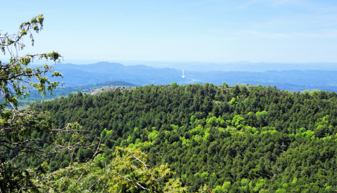 |
| Saint-Cassien Lake seen from trail |
At signpost #58, we forked right and headed east. The trail now ascended gently in a pine wood. We reached #58a, turned straight south and climbed up to the ruins nesting on a ridge and overlooking plateau de la Malle. The views were spectacular, and we climbed to the nearby la Colle (1234 m).
At the site, there was no information about the history, age etc. of the fortification, so basically there were just the ruins to view, surrounded by the beautiful spring landscape of the Côte d’Azur Prealps.
We hiked back to our starting point along the same trail. It is possible to hike back following the ridge northwest of la Colle, then merge with the main trail just before signpost #58.
 |
| Wild orchids near Castellaras |
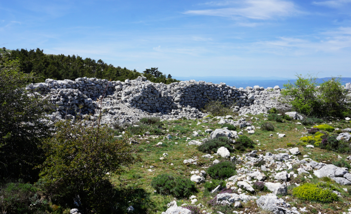 |
Castellaras southwestern wall ruins
|
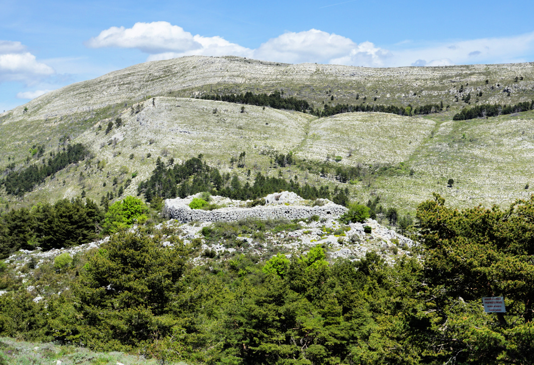 |
| Castellaras de la Malle |
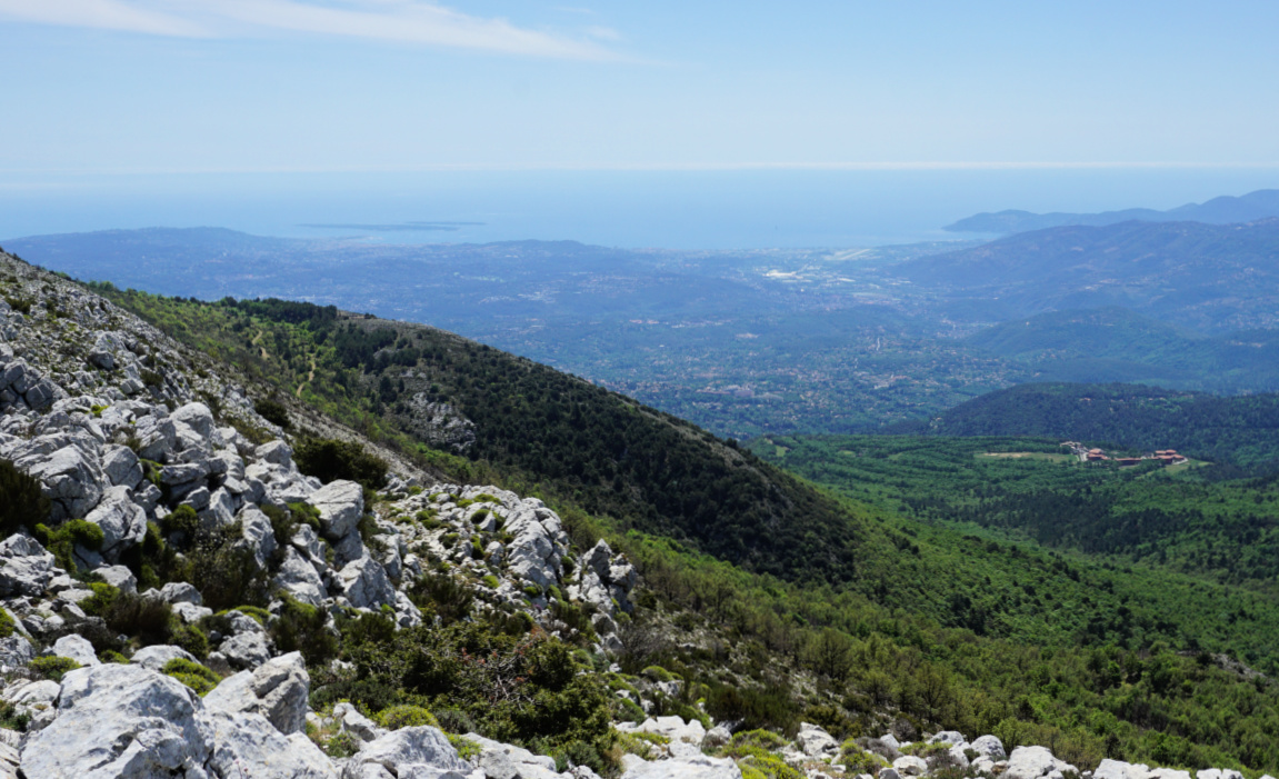 |
| Mandelieu coast from la Colle |
 |
| Pine forest near Castellaras |
Map: 3543 ET « Haut Siagne »
 |
| Castellaras de la Malle hike trail |
This simple but tasty pasta recipe is at its best in late winter when the local citrus fruit are in season in Nice. Oranges go very well with black olives, olive oil, and chopped parsley.
2 servings
Organic whole wheat tagliatelle for 2 servings
1 organic orange
1 shallot, chopped
1 clove garlic, minced
2 tbsp. olive oil
3 tbsp. pitted black olives
2 handfuls of grated parmesan
Freshly ground black pepper
A generous amount of chopped organic parsley
Warm the olive oil in a large frying pan over medium heat. Sauté the shallot and garlic for about 10 minutes until soft.
Cook the tagliatelle according to the advice on the package.
Wash the orange and zest it. Peel the white parts of the range and cut it into small pieces. Set aside.
Wash and chop the parsley. Set aside.
Slice the olives and grate the parmesan.
When the tagliatelle is cooked, drain it and add to the frying pan. Add the zest and pieces of orange, black pepper, sliced olives, and parsley. Mix well.
Divide the pasta on the plates and fold in the parmesan with a fork.
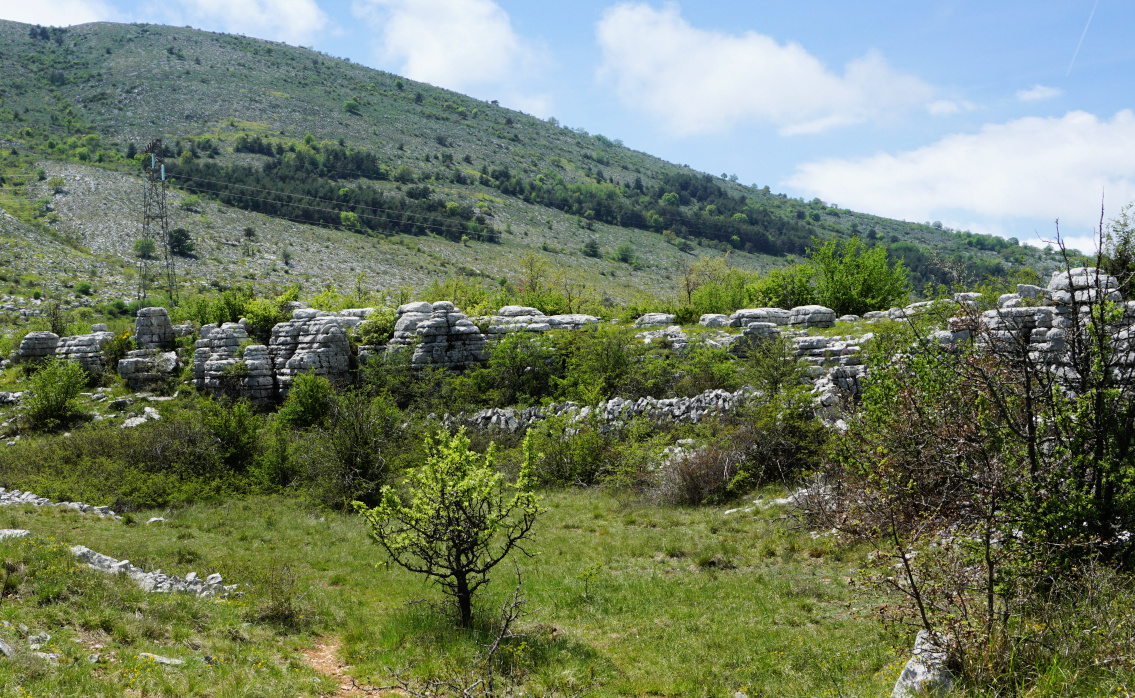 |
| Village nègre St-Barnabé |
Using the parking of St Barnabé (960 m) as a starting point, we made a short loop hike on the north-eastern flank of Puy de Tourrettes.
We headed southeast along the GR51 as far as to signpost #261. The initial part was almost flat. At #261 we forked right along the yellow marked path (La Caïre, Tourrettes sur Loup etc), and climbed to signpost #177 where we left the marked trail, again forking right. We followed a wide trail, and ascended to about 1050 m elev. not far from the power lines crossing the mountain flank.
 |
| GR51 from St-Barnabé |
 |
| Leaving GR51 at signpost261 |
 |
| Puy de Tourrettes |
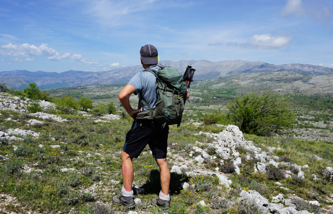 |
| Puy de Tourrettes northeastern flank |
We passed a pasture area and shelters, mostly ancient. We then stumbled on an airplane wreck lying in a small depression next to the trail. It must have been there for decades. Looking at the tail plane, it could be a Mooney. This wreck is less famous than the other one, a Rockwell Commander, lying on the southern flank of Puy de Tourrettes.
We crossed an empty pasture field, climbed a bit more before starting to descend along a narrow unmarked trail, first heading northwest then north. There were several narrow paths crisscrossing the flank. From our location a bit higher, we could see the plateau and our starting point which made the navigation easy.
We descended to a mysterious geological area named Village Nègre. Not a true “village” but big eroded limestone statues around clearings. We have seen similar albeit not identical formations above Caussols.
 |
| Pasture at 1060m |
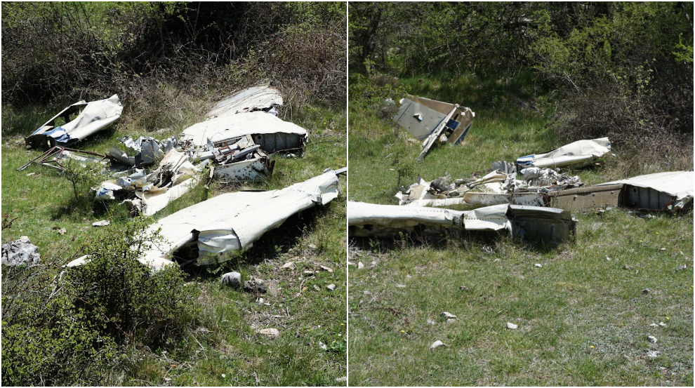 |
| Small airplane wreck |
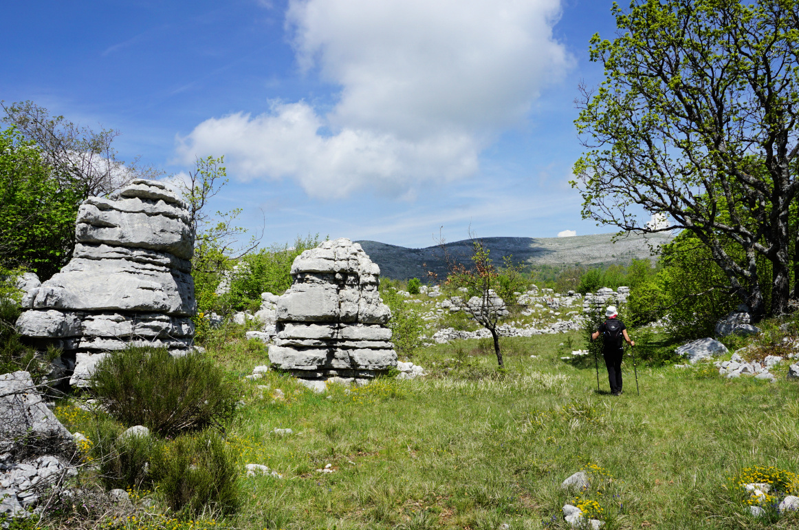 |
| Entering Village nègre |
 |
| Eroded limestones Village nègre |
 |
| Rock formations Village nègre |
We continued to the north along one of the trails and soon reached the parking. Using this itinerary, we never came near any areas or dwellings marked as private properties.
Map: 3642 ET Vallée de Estéron Vallée du Loup
 |
| Village nègre hike track |


