Castellaras de la Malle hike


La Colle summit


The prehistoric ruins of Castellaras de la Malle dating from the iron age are located at about 1200 m elevation about 6 km north of Grasse and 3 km east of Saint-Vallier-de-Thiey as the crow flies.

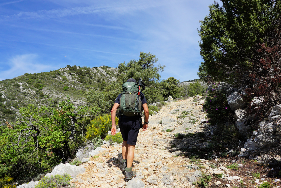
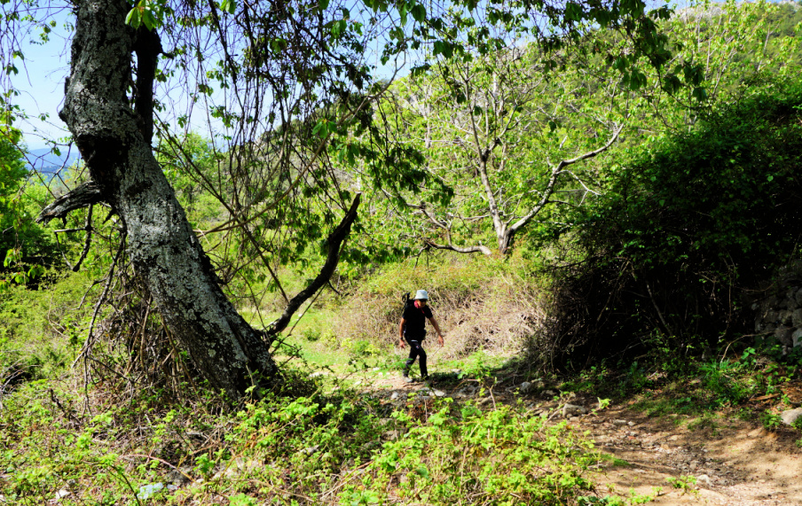
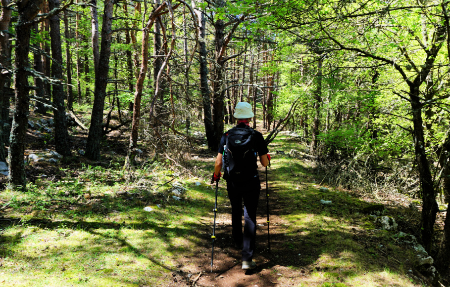
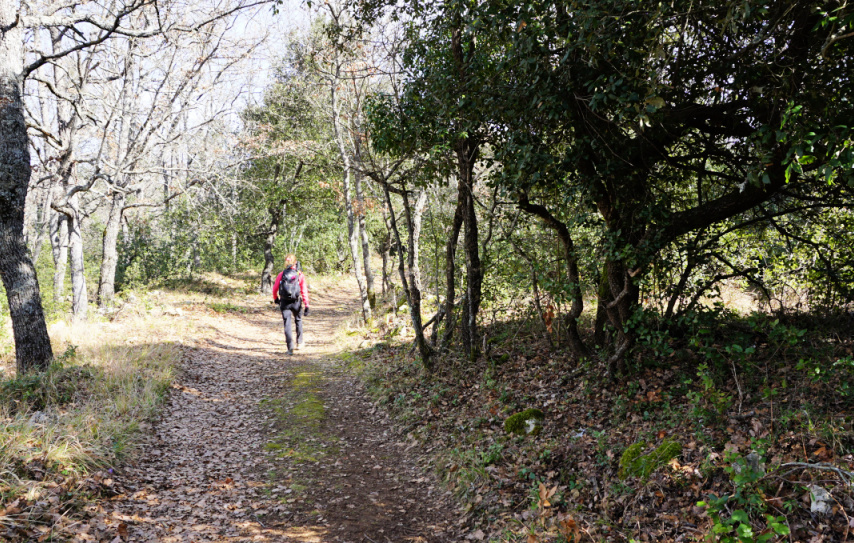
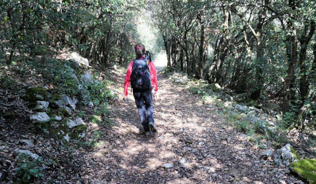
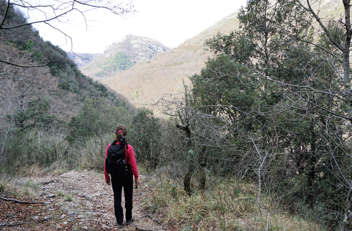
The site can be reached by a good hiking trail from Col du Pilon (783 m) by the 6085 road. We used the spacious parking 100 m before the col. From the parking, we took a shortcut directly to the trail. It was initially a wide dirt track, then a good albeit rocky path marked with yellow. We first ascended in the woods which protected us from the spring sun. Higher up, there were more open stretches. We reached signpost #57, and passed ruins of an old stone dwelling. The itinerary was well marked.

Departing from Col du Pilon
Towards signpost 57
Towards signpost 57
Above signpost 57
Above signpost 57
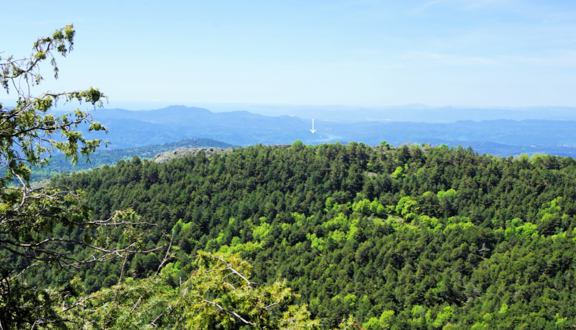
Saint-Cassien Lake seen from trail

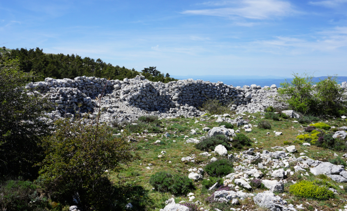
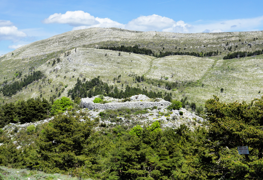
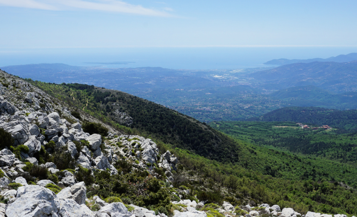
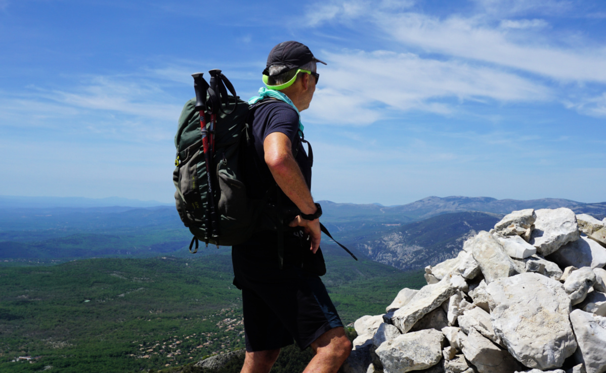
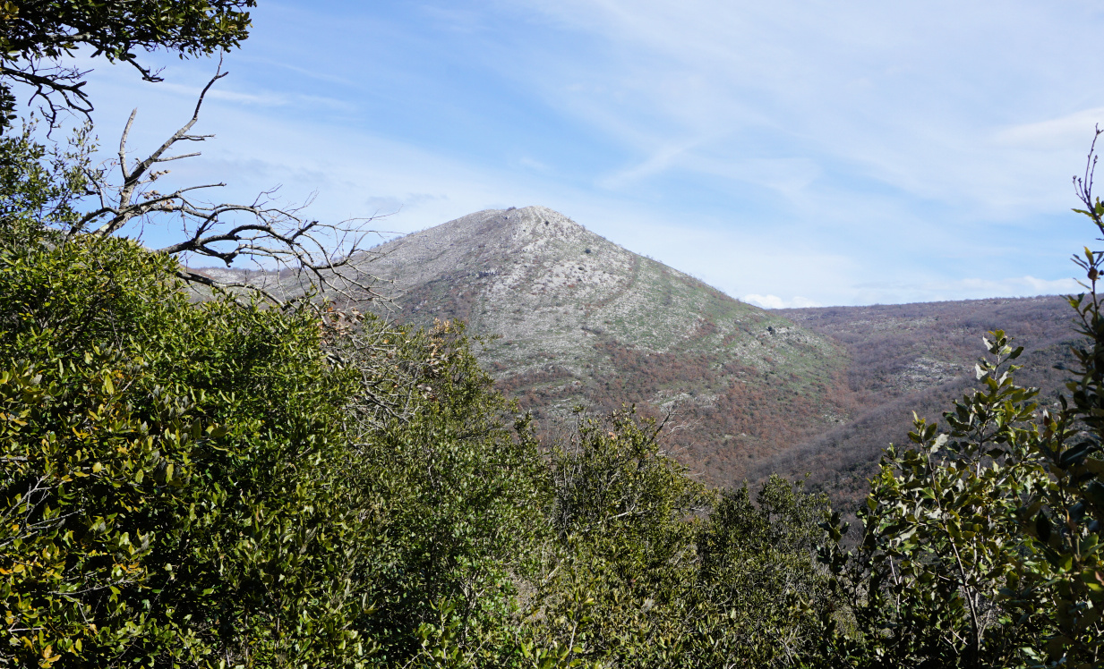
At signpost #58, we forked right and headed east. The trail now ascended gently in a pine wood. We reached #58a, turned straight south and climbed up to the ruins nesting on a ridge and overlooking plateau de la Malle. The views were spectacular, and we climbed to the nearby la Colle (1234 m).


At the site, there was no information about the history, age etc. of the fortification, so basically there were just the ruins to view, surrounded by the beautiful spring landscape of the Côte d’Azur Prealps.


We hiked back to our starting point along the same trail. It is possible to hike back following the ridge northwest of la Colle, then merge with the main trail just before signpost #58.


Wild orchids near Castellaras
Castellaras southwestern wall ruins

Castellaras de la Malle
Mandelieu coast from la Colle
Pine forest near Castellaras

Distance: 8,8 km


Climb: 475 m


Duration: 3h 30


Map: 3543 ET « Haut Siagne »


Castellaras de la Malle hike trail


Tagliatelle with orange and black olives


Tagliatelle with orange and black olives


This simple but tasty pasta recipe is at its best in late winter when the local citrus fruit are in season in Nice. Oranges go very well with black olives, olive oil, and chopped parsley.

2 servings

Organic whole wheat tagliatelle for 2 servings

1 organic orange

1 shallot, chopped

1 clove garlic, minced

2 tbsp. olive oil

3 tbsp. pitted black olives

2 handfuls of grated parmesan

Freshly ground black pepper

A generous amount of chopped organic parsley


Warm the olive oil in a large frying pan over medium heat. Sauté the shallot and garlic for about 10 minutes until soft.


Cook the tagliatelle according to the advice on the package.


Wash the orange and zest it. Peel the white parts of the range and cut it into small pieces. Set aside.


Wash and chop the parsley. Set aside.


Slice the olives and grate the parmesan.


When the tagliatelle is cooked, drain it and add to the frying pan. Add the zest and pieces of orange, black pepper, sliced olives, and parsley. Mix well.


Divide the pasta on the plates and fold in the parmesan with a fork.


St Barnabé: Village Nègre hike


Village nègre St-Barnabé


Using the parking of St Barnabé (960 m) as a starting point, we made a short loop hike on the north-eastern flank of Puy de Tourrettes. 

We headed southeast along the GR51 as far as to signpost #261. The initial part was almost flat. At #261 we forked right along the yellow marked path (La Caïre, Tourrettes sur Loup etc), and climbed to signpost #177 where we left the marked trail, again forking right. We followed a wide trail, and ascended to about 1050 m elev. not far from the power lines crossing the mountain flank.

GR51 from St-Barnabé
Leaving GR51 at signpost261
Puy de Tourrettes
Puy de Tourrettes
Puy de Tourrettes northeastern flank

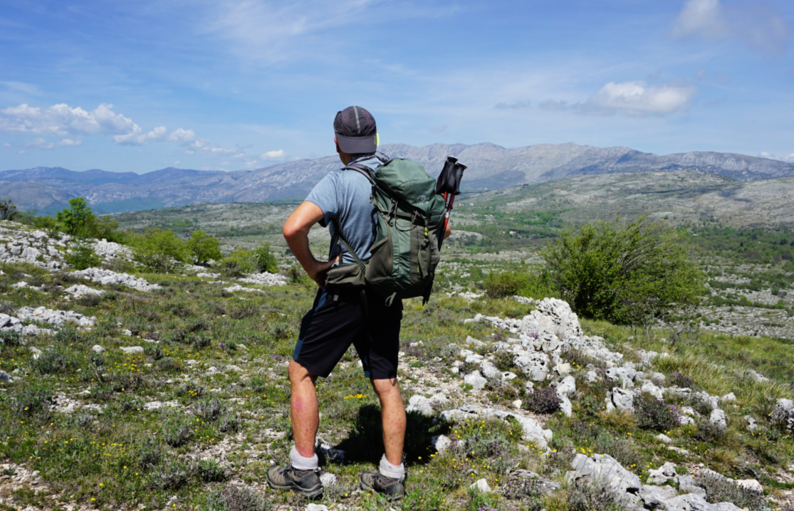
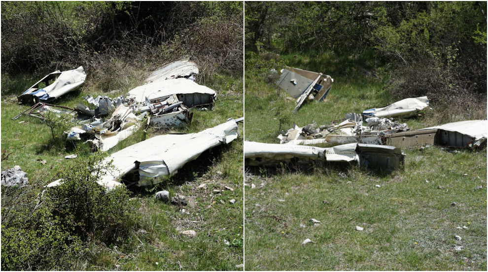
We passed a pasture area and shelters, mostly ancient. We then stumbled on an airplane wreck lying in a small depression next to the trail. It must have been there for decades. Looking at the tail plane, it could be a Mooney. This wreck is less famous than the other one, a Rockwell Commander, lying on the southern flank of Puy de Tourrettes. 


We crossed an empty pasture field, climbed a bit more before starting to descend along a narrow unmarked trail, first heading northwest then north. There were several narrow paths crisscrossing the flank. From our location a bit higher, we could see the plateau and our starting point which made the navigation easy. 


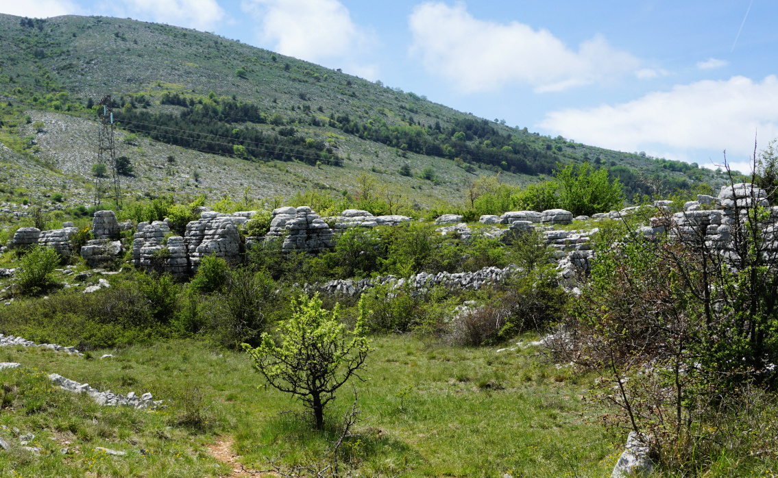
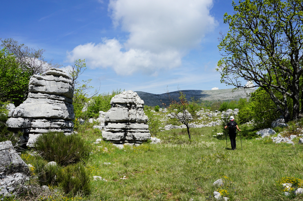
We descended to a mysterious geological area named Village Nègre. Not a true “village” but big eroded limestone statues around clearings. We have seen similar albeit not identical formations above Caussols


Pasture at 1060m
Pasture at 1060m
Small airplane wreck
Entering Village nègre
Eroded limestones Village nègre
Rock formations Village nègre

We continued to the north along one of the trails and soon reached the parking. Using this itinerary, we never came near any areas or dwellings marked as private properties.


Distance: 5,5 km


Climb: 135 m


Duration: ~ 2 h


Map:  3642 ET Vallée de Estéron Vallée du Loup


Village nègre hike track


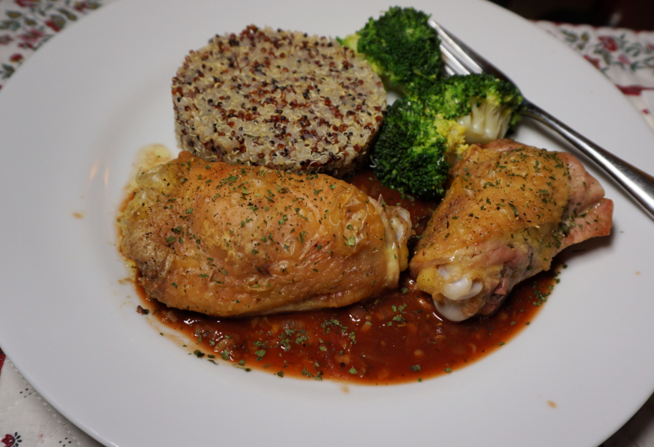
Roasted chicken thighs with devil's sauce

Roasted chicken thighs with devil's sauce


Devil’s sauce, la sauce à la diable, is a classic sauce in French cuisine. The base is so called Spanish sauce which is usually made of veal fond. The other ingredients are chopped shallots, tomato purée, Harvey’s sauce, Worcestershire sauce, and Cayenne pepper. Harvey’s sauce and Worcestershire sauce are classic British condiments. Devil’s sauce is often served with grilled chicken legs or oxtail.

The following recipe is my twist of the devil’s sauce. I have used more Mediterranean ingredients like dried Provençal herbs, black pepper, and balsamic vinegar glaze, crema con aceto balsamico di Modena

2 servings

4 chicken thighs

1-2 tbsp. olive oil

1 tsp. dried organic parsley

Freshly ground black pepper


For the devil’s sauce:

1 shallot, minced

1 clove garlic, minced

150 ml chicken stock

150 ml white wine

1 tbsp. balsamic vinegar glaze

2 tsp. tomato purée

½ tsp. dried organic Provençal herbs

Freshly ground black pepper


Preheat the oven to 180° C, roast.


Arrange the chicken thighs in an oven-proof dish and coat with the olive oil. Roast for 45 minutes.


Prepare the devil’s sauce. In a saucepan, cook the shallot, garlic, white wine, chicken stock, and Provençal herbs until reduced by about half. Add the balsamic vinegar glaze, tomato purée, and black pepper. Stir until thickened. Cover and set aside.


Serve the chicken thighs over the devil’s sauce and sprinkle with dried parsley and black pepper. Quinoa and broccoli or some other greens would go nicely with the chicken thighs.


Exploring Saint-Paul de Vence


St-Paul de Vence

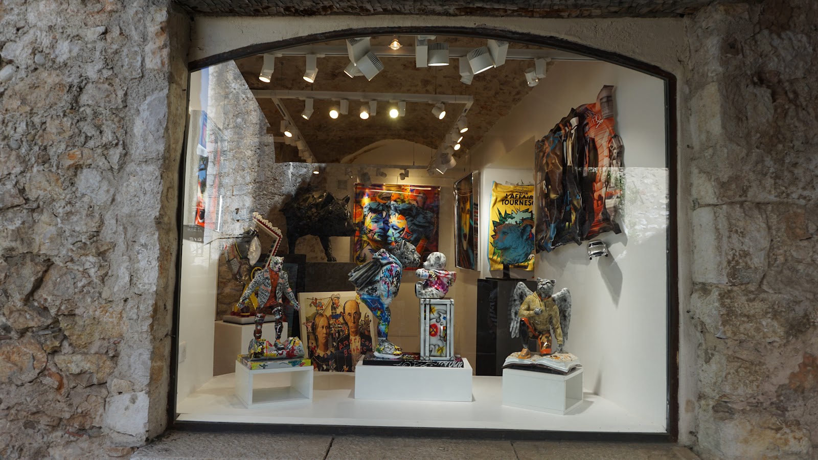
Situated only 6 km from the coast as the crow flies, the mythic hilltop village of Saint-Paul de Vence has become increasingly popular. After many years, we visited the medieval village on a beautiful weekday in April. In spite of many visitors, the atmosphere was convivial. There were also many more art galleries and small quality shops than before. You don’t find any tourist trinket here, but small boutiques selling local perfumes, quality jewellery, and handcrafted olive wood works. 

With this short blog post, we just wanted to share some springtime images of the village. For more detailed info, check here  

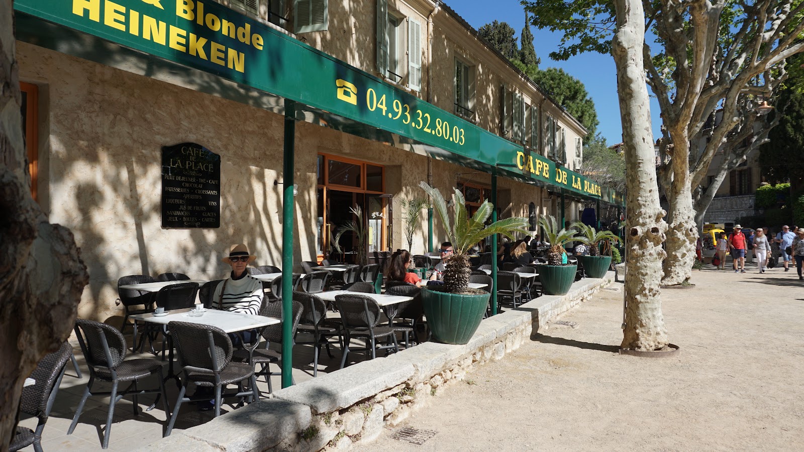
Café de la Place
Café de la Place
St-Paul de Vence entrance
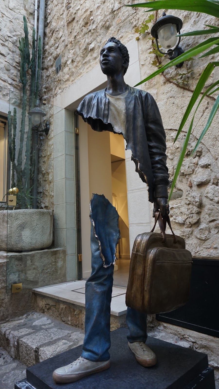
Art shop in St-Paul de Vence
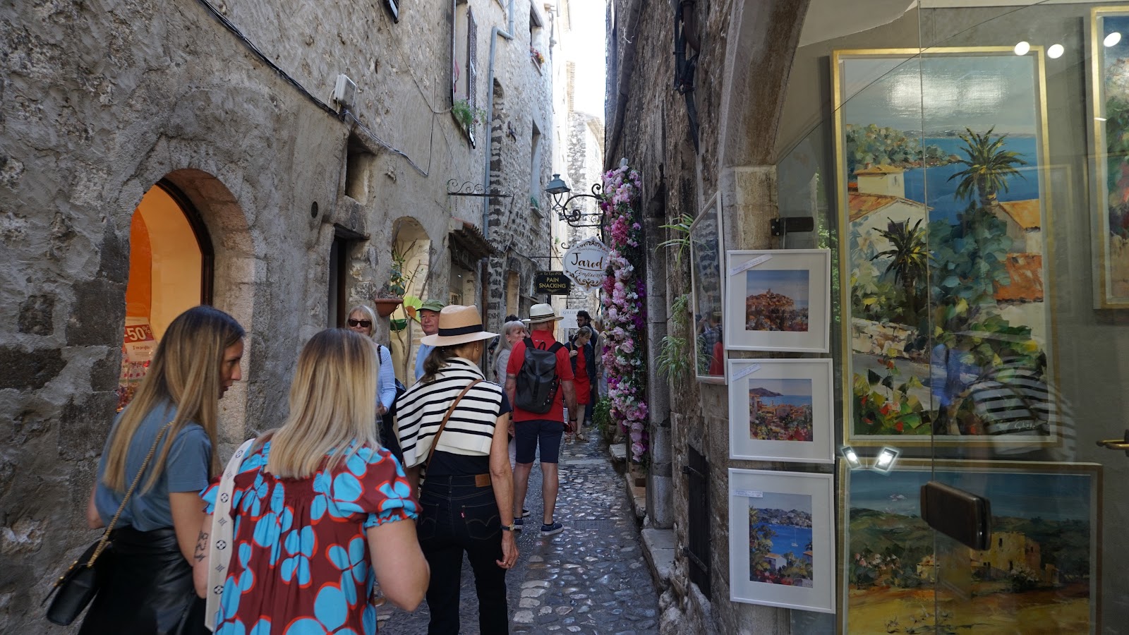
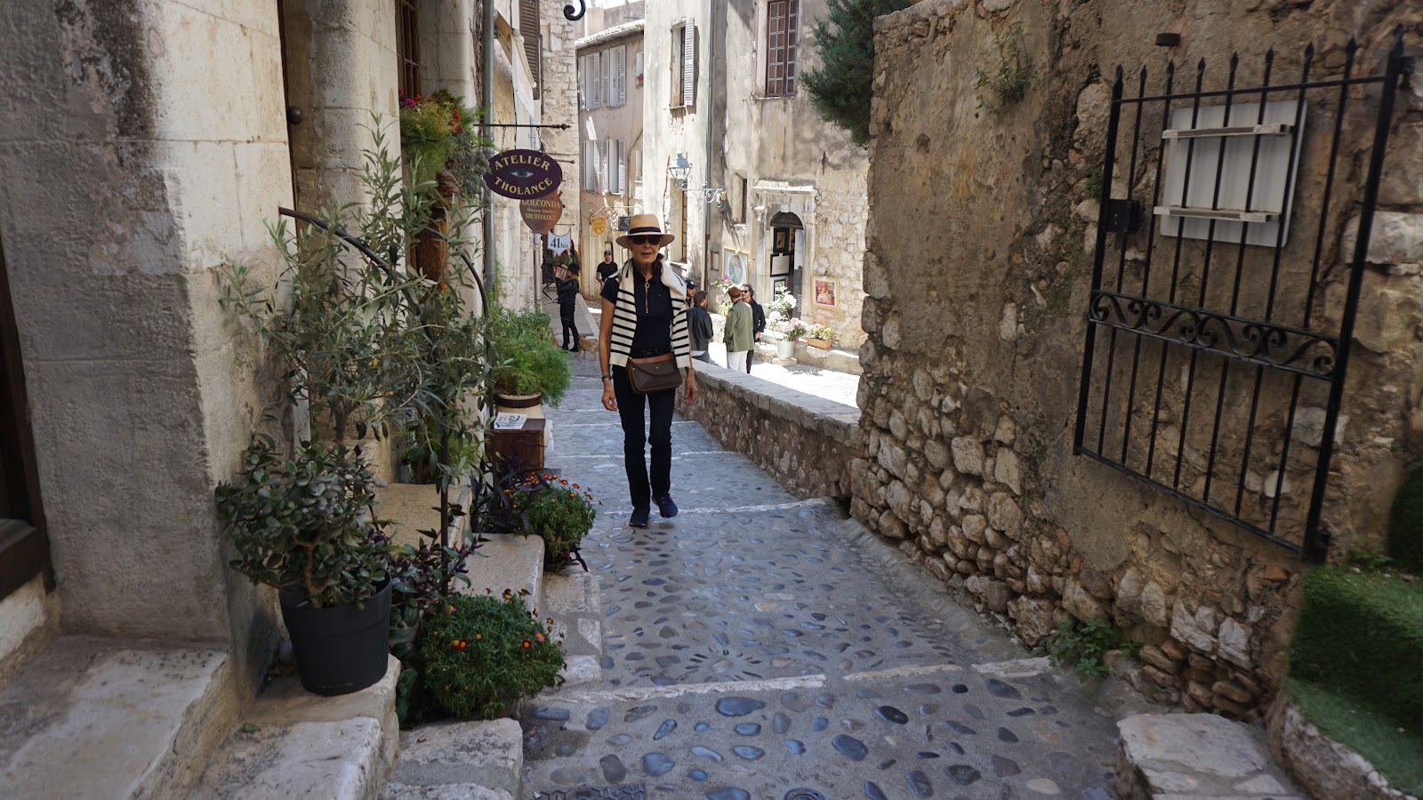
St-Paul de Vence main street

We parked in front of the nearby Fondation Maeght art museum and walked the short distance to the village. The Café de la Place at Place Charles de Gaulle was a perfect stop for a mid-morning coffee. From the square, we took the main pedestrian street which led us directly to the southern tip of the medieval wall (less than 500 m from the square). From here, we had views to the coast and northeast, as far as the to the snow-capped Mercantour peaks. Most of the businesses were located on the main street named rue Grande.


We continued the stroll by exploring some of the side streets, then opted for an informal lunch on a panoramic terrasse.


Art displayed in St-Paul de Vence
Eastern wall of St-Paul de Vence
Side street in St-Paul de Vence
View northwest from St-Paul de Vence

Mediterranean Potato Gratin

Mediterranean potato gratin


Potatoes are much more frequently used in the traditional Mediterranean Diet than we might expect. In that region, potato gratins are made with olive oil, chicken stock, and some vegetables instead of butter, cream, and cheese in the traditional gratin Dauphinois

The following recipe is inspired by a lunch that we recently had in a Mediterranean restaurant in the Canary Islands. Black olives and cherry tomatoes in the potato gratin went very well with fresh white fish fillets like seabass, cod or halibut.

2 servings

2- 3 firm potatoes, pref. organic

1 clove garlic, minced

2 tbsp. olive oil

2 tbsp. black pitted olives, sliced

About 10 cherry tomatoes, halved

100 ml chicken stock

½ tsp. dried Provençal herbs

Freshly ground black pepper


Preheat the oven to 180° C, roast. Bring the chicken stock to simmering in a small saucepan.


Wash and thinly slice the potatoes. Place the potatoes, garlic, olives, and cherry tomatoes in a bowl with the olive oil and toss until well coated. Add the black pepper and Provençal herbs and mix.


Coat two individual gratin dishes with some olive oil and divide the vegetable mixture in them. Pour the chicken stock over the vegetables. Cover with aluminium foil and bake for 40 minutes.


Raise the temperature to 200° C roast and remove the foil. Continue roasting for about 15 minutes until the potatoes are nicely browned on top.


Petite Afrique Hike


Beaulieu-sur-Mer and Cap Ferrat


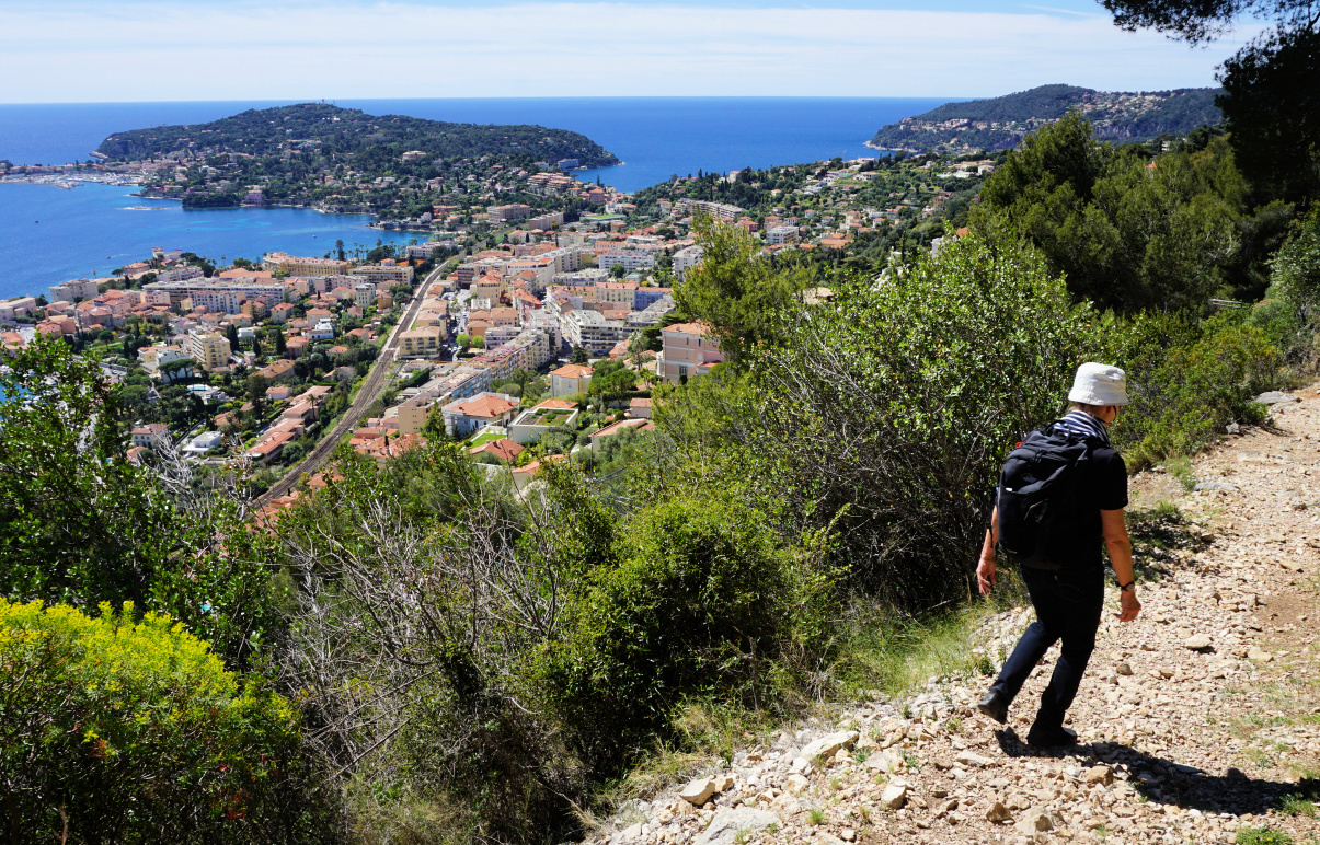
The following short semi-urban loop above Beaulieu-sur-Mer offers great views of the town as well as the nearby Saint Jean Cap Ferrat. Situated in one of the most temperate regions of France, and protected by northern winds, the south-facing mountain flank above Beaulieu-sur-Mer has a microclimate of its own.

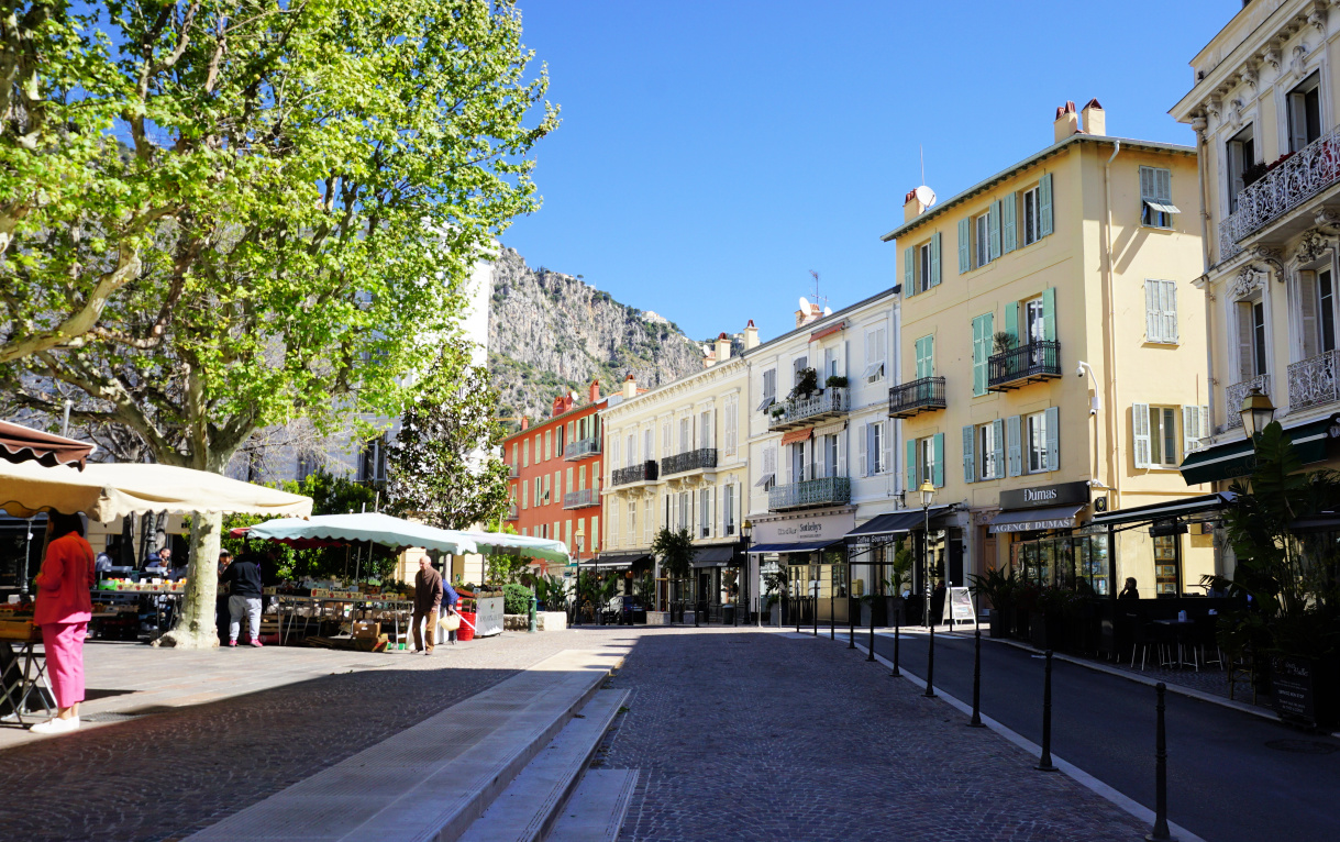
Rue du Marché
Rue du Marché
Place Charles de Gaulle
Above the old cemetery
Below Bd Eduard VII
Below Bd Eduard VII

Starting from the waterfront, we headed to Place Charles de Gaulle via rue Gallieni and rue du Marché. From the square, we started to ascend along Chemin des Myrtes with some traffic and no pavements. At a sharp bend, we continued straight towards the old cemetery. This is where the paved street ended and we continued along a partly paved path which followed a dry stream bed. Here we saw the first yellow signs marking the itinerary.


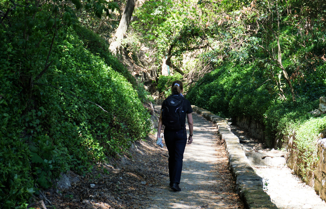
We ascended to Boulevard Eduard VII and forked right, following it about 300 m to the bus stop Les Trois Frères where we exited the street, and climbed along stairs to Chemin de Sophie. The markings were now better. We passed several properties, and soon continued along a good trail surrounded by Mediterranean vegetation, now in the Petite Afrique neighbourhood.


Above Beaulieu-sur-Mer
In Petite Afrique
In Petite Afrique
Trail to signpost #666
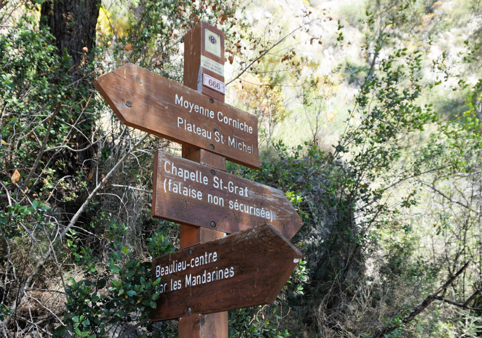
Signpost #666 at trail crossroads
Descent back to Beaulieu
L'Escourcha stairs Beaulieu
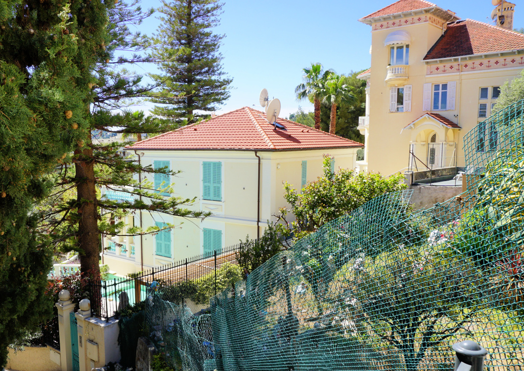
Villas above Beaulieu


We passed the fallen signpost #665 and climbed to a crossroads of four paths (the highest point of the loop) and signpost #666. A steep optional path continued up to Chapelle St-Grat. We forked right, and descended rapidly back to Bd Eduard VII, and followed it about 400 m to l’Escourchia (pedestrian shortcut; stairs) then continued via Ruelle des Mandarines and Bd Eugène Gauthier to the port.


Duration: 2 h including short stops

Distance: 4 km

Climb: 190 m

Map: 3742 OT Nice-Menton Cote d’Azur


Petite Afrique hike track


Tagliatelle with broccoli and pistachio pesto

Tagliatelle with broccoli and pistachio pesto


Home-made pasta sauces made from scratch will always have more quality vegetables and antioxidants than a jar of ready-made pasta sauce. Of course, it is a question of time. Preparing this pasta sauce will take about 20 minutes, plus the time needed for shopping the vegetables. Opening a jar of ready-made pasta sauce and reheating it only takes a few minutes.

Recently, a Swiss preventive medicine clinic advised 30 different herbs, vegetables, and fruit a week to stay as young as possible for as long as possible. This pasta sauce helps towards that goal.

2 servings

Whole wheat tagliatelle or spaghetti for 2

1 small broccoli head, pref. organic

A handful of peeled and unsalted pistachios

1 clove garlic, minced

A handful of grated parmesan

Olive oil

Freshly ground black pepper

For the presentation:

4 tbsp. of ricotta

About 1/3 handful of pistachios, coarsely chopped

Fresh organic herbs

Olive oil


In a large saucepan, bring water to a boil. Cut the broccoli into florets and wash in a colander. Cook the broccoli in boiling water for 1- 2 minutes, drain and place back in the saucepan. Add the pistachios, minced garlic, and parmesan and mix into a paste with a hand-held mixer. Add black pepper and some olive oil and continue mixing into a nice creamy consistence. Set aside.


In a mortar with pestle, coarsely chop about 1/3 handful of pistachios. Set aside.


Wash some fresh organic herbs, dry and chop . Set aside.


Cook the tagliatelle al dente according to the advice on the package. Save a cup of cooking water. Drain the tagliatelle and place back in the casserole. Add the broccoli and pistachio pesto and stir until the pasta is nicely coated with the pesto. Add some pasta cooking water and warm the saucepan for 1- 2 minutes, stirring.


Divide the tagliatelle on the plates or in the bowls. Place the ricotta among the pasta and sprinkle over the pistachios and herbs. Pour over some olive oil and serve. 


Plan des Noves to Vescagne Footbridge


Descent to Plan des Noves


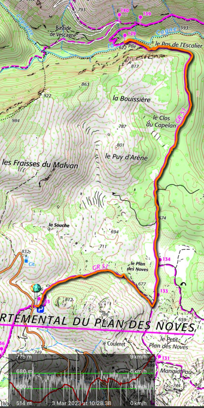
The following hike features a pleasant walk in Plan des Noves above Vence along the GR51 trail.

The Plan des Noves parking by the M2 road is a natural starting point for walks near Col de Vence as you can choose many directions and the GR51 trail crosses the road here.

Departing Plan des Noves parking
GR51 crossroads Plan des Noves
GR51 Crossroads Plan des Noves
Heading north on GR51
Evergreen woods by the GR51

We headed east descending about 100 m to signpost #133 at the western part of the plateau. We forked sharply left (north) along GR51, and walked past some ancient agricultural areas. The surrounding scenery was dominated by Mouton d’Anou (1079 m) and Colle Menon (1029 m). As Plan des Noves is surrounded by about 800 m peaks in all directions, the coast remained invisible.


Mouton d'Anou
Mouton d'Anou
Cagnes River Valley
Cagnes River Valley
Vescagne footbridge
Vescagne footbridge
La Cagne riverbed almost dry

The GR51 at this point was a wide track surrounded in places by holm oaks, and other evergreen trees. We climbed a bit before the trail turned west above the Cagnes River Valley, descending rapidly to the wooden footbridge, Pont du Vescagne (620 m). It had rained very little in the winter, and only a small amount of water streamed towards the sea even in early March. Some riverbeds have been reported completely dry in the Var Department. The sources of the Cagnes River are near Coursegoules, about 5 km uphill and northwest as the crow flies.


We used the same trail back to our starting point.


Distance: 10 km


Climb: 390 m


Duration: 3h 20 active


Map: “Cannes-Grasse” Côte d’Azur 3643ET


Vescagne bridge hike track