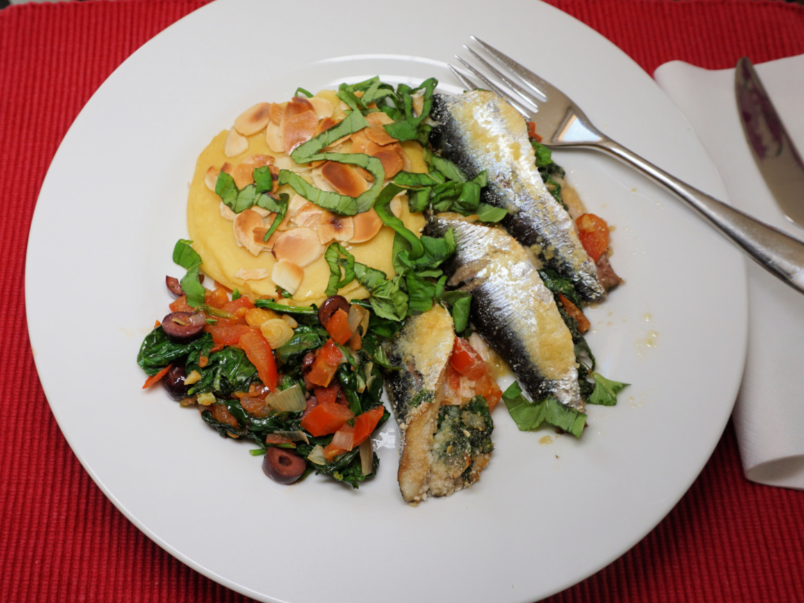
Mont Razet revisited


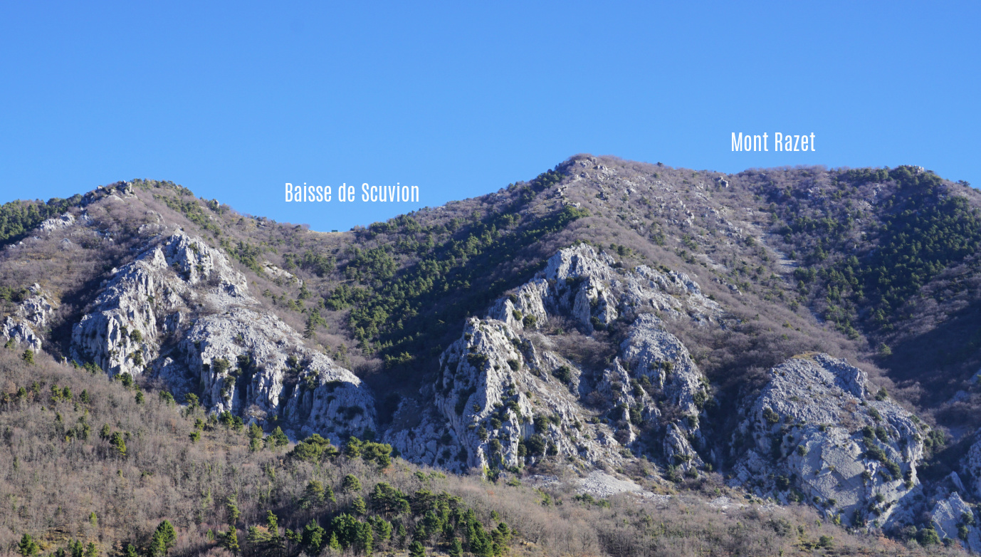
Baisse de Scuvion and Mont Razet


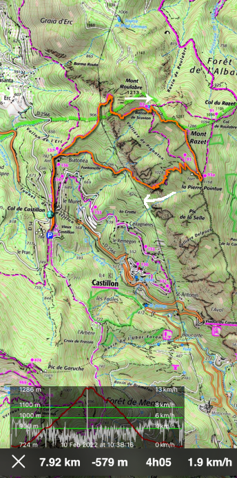
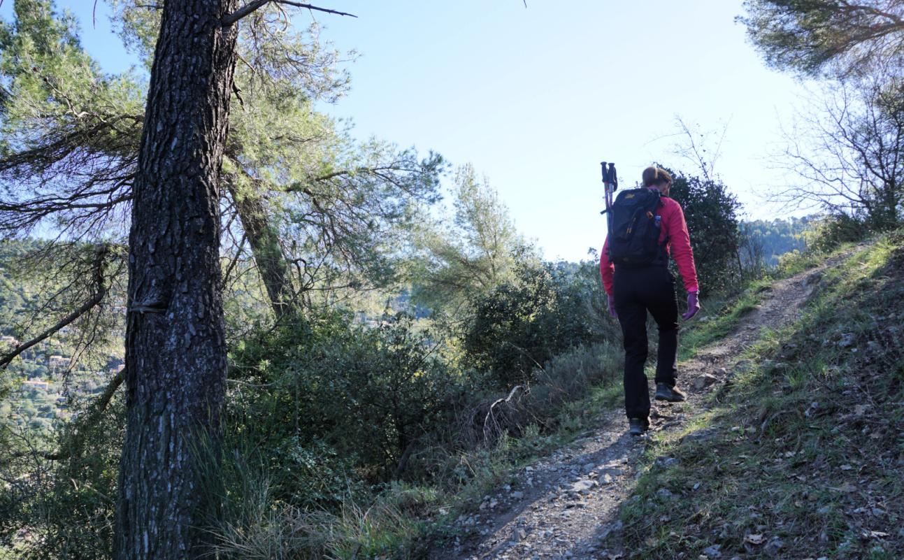
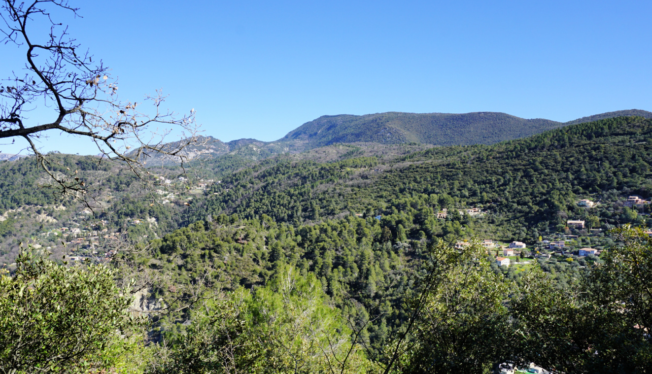
On one of our recent hikes from Col de Castillon (signpost#135 at 706 m), we saw a temporary sign on the Baisse de Scuvion (1154 m) mountain pass indicating a direct path up to the nearby summit of Mont Razet (1286 m). On today’s hike we wanted to explore this option. The route was not shown on the normal hiking map, but interestingly the OpenStreetMap shows a trail between the Baisse de Scuvion and Mont Razet.

The mountains above Menton have an extensive network of trails, and we have become quite familiar with them. We have circled Mont Razet many times and climbed to the mountain top along the marked itinerary from la Pierre Pointue (1168 m; signpost #93a).

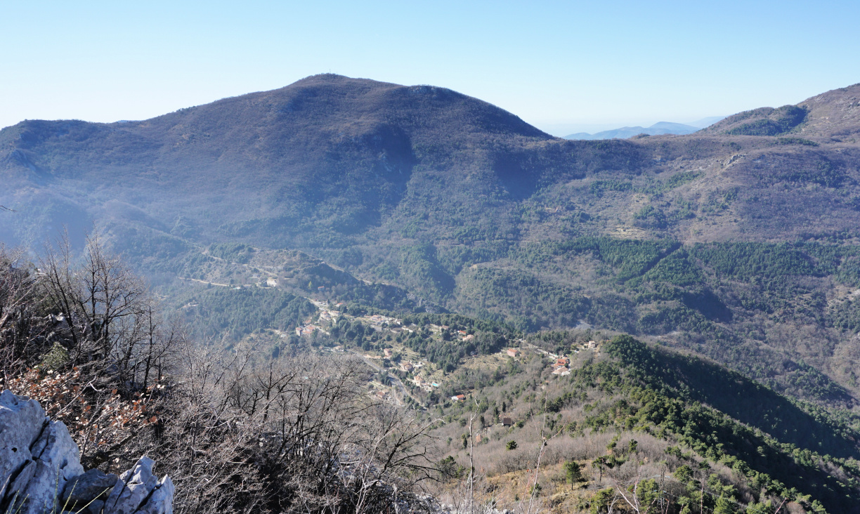
Mont Razet consists of a ridge where its northernmost point just above the Baisse de Scuvion is 1 m higher (1287 m) than the main peak. 

Trail crossroads near Biatonéa
Heading to Baisse de Scuvion
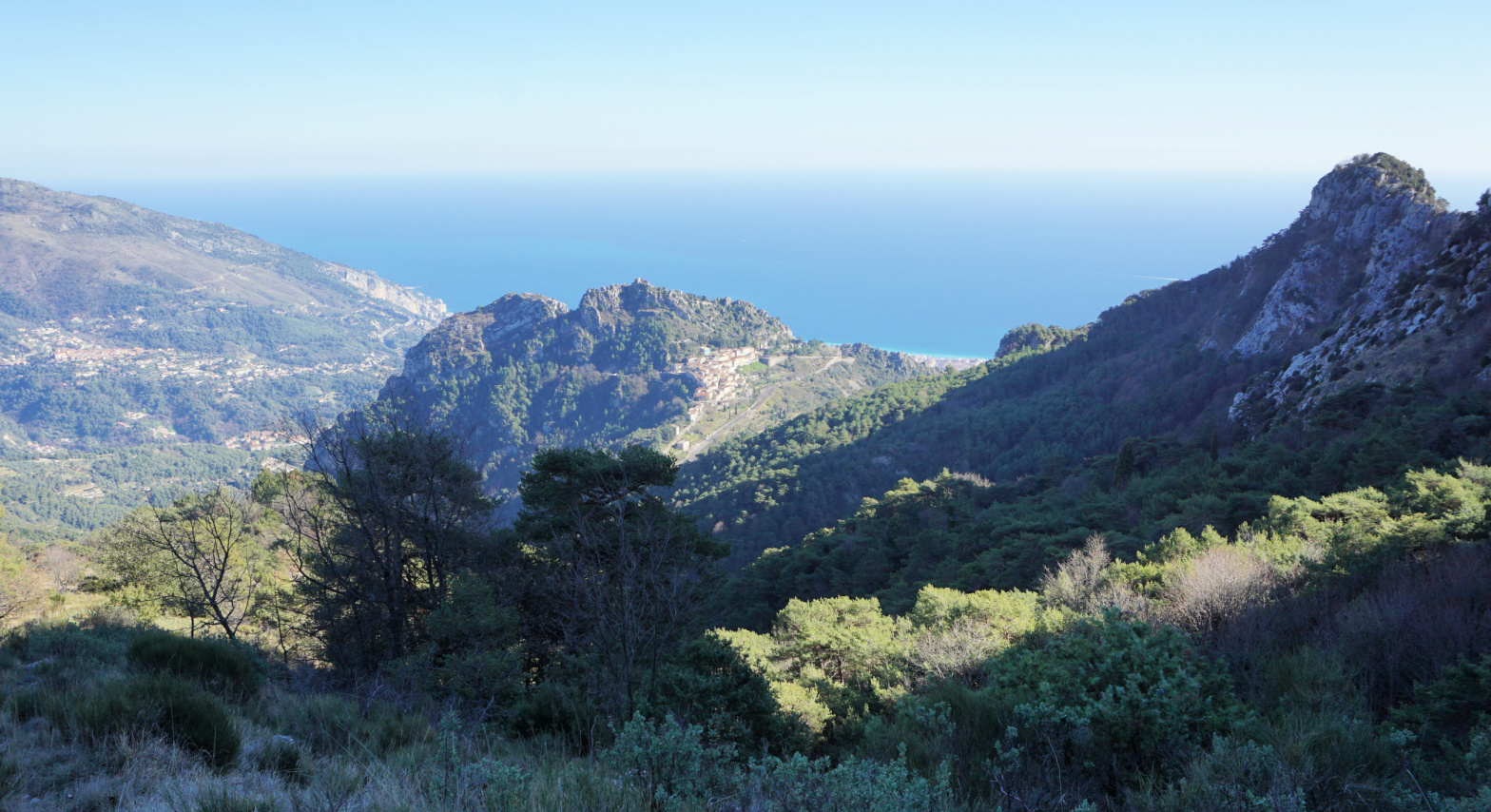
Col de Castillon viewed from trail
Near Baisse de Scuvion

From Col de Castillon, we walked straight north, passing the Biatonéa neighbourhood to a trail crossroads (signpost #137), and ascended to the Baisse de Scuvion (signpost #92).


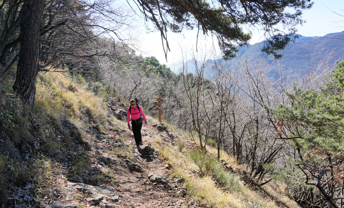
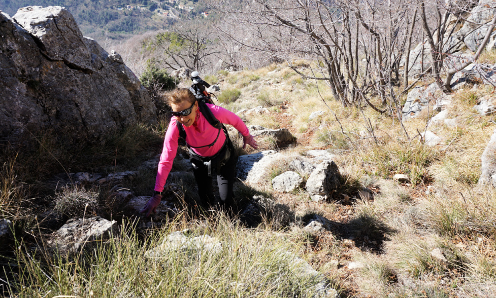
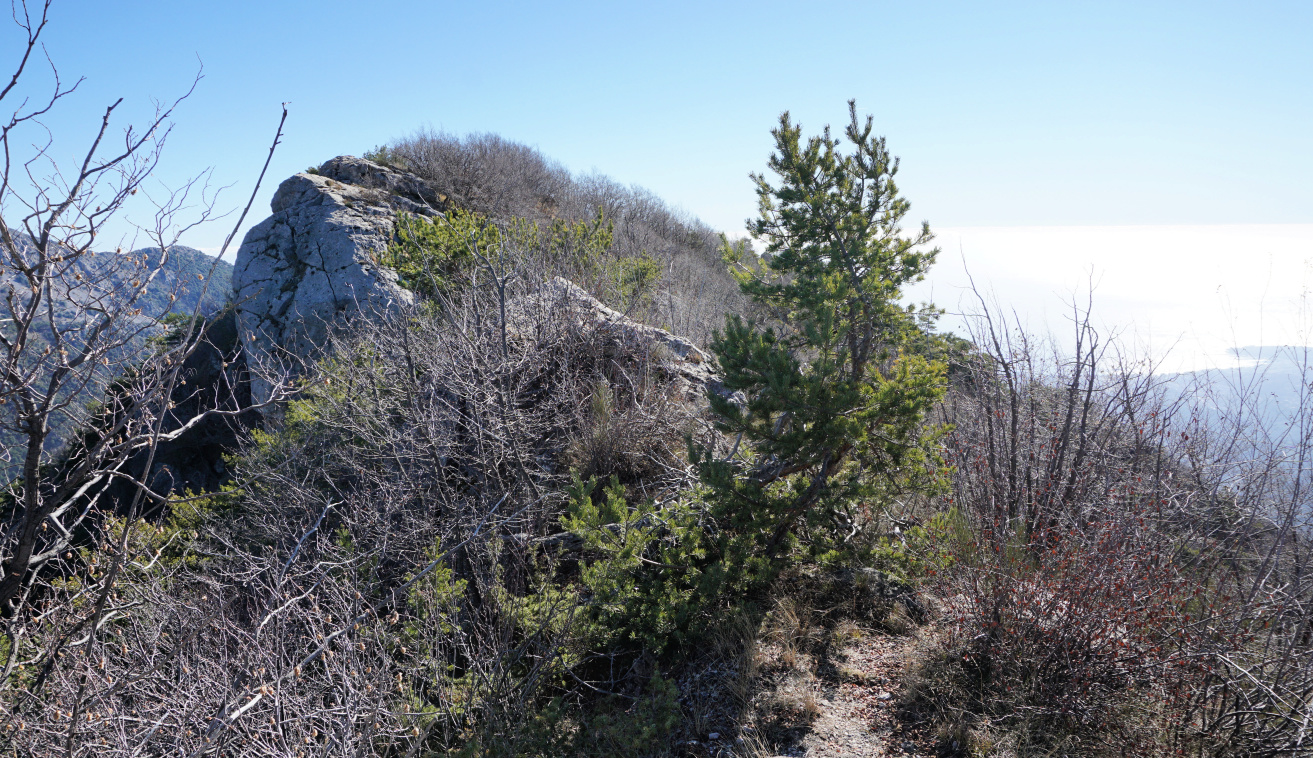
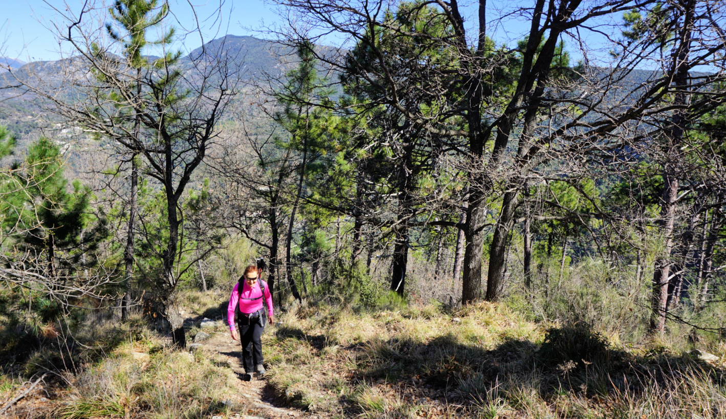
It was a cloudless February day and it had not rained in several weeks. Trails were therefore dry and easy to negotiate. The temporary sign we had seen at the Baisse earlier had disappeared, but the trail was clearly visible. It turned out that the path was marked with red dots (for trail runners?). Some steep stretches needed easy scramble, but all in all the trail enabled a rapid access to the summit. We first reached the Mont Razet ridge south of the highest point on the map (1287 m), continued southeast towards the main summit a few hundred meters away, still following the red dotted trail.

Shortcut to Mont Razet
Near Mont Razet ridge
Near Mont Razet Ridge
Mont Razet ridge
Mont Razet ridge
Mont Razet summit seen from north
Mont Razet summit
Mont Razet summit

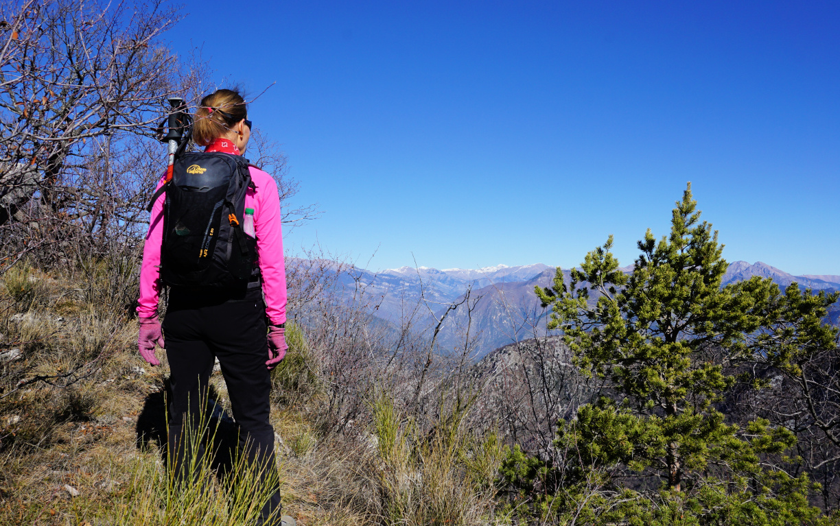
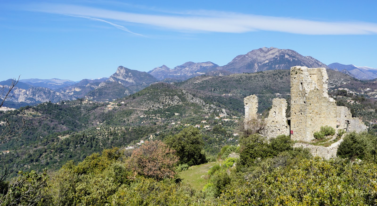
After admiring the great views and absorbing the solitude, we continued to la Pierre Pointue, passing remnants of several Maginot-era bunkers, then continued to signpost #93 where we forked left and descended to Biatonéa, thus completing the loop. 


Climb: 580 m

Distance: 8 km

Duration: 3h 30

Map: Nice-Menton Côte d’Azur 3742 OT
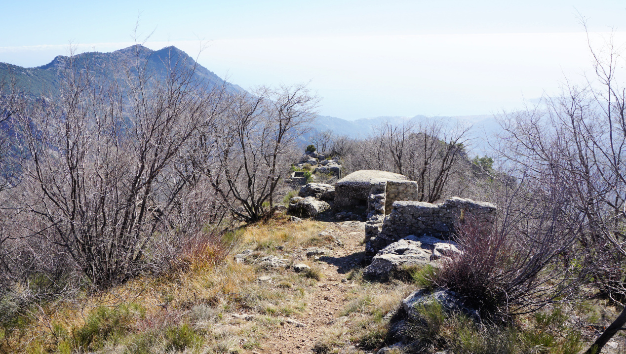
Bunkers on Mont Razet ridge


Trail track to Mont Razet


Spring risotto

Spring risotto


This spring risotto recipe is my twist of a lunch we had one beautiful day in May on the terrace of a restaurant in Nice. The green asparagus and small purple artichokes, artichauts violets, are much appreciated local spring vegetables in the South of France. 


2 servings

For the risotto:

120 ml carnaroli or arborio rice

Olive oil

150 ml white wine

1- 2 shallots, chopped

1 clove garlic, minced

About 700 ml chicken stock (you may not need it all)

About 2 handfuls of grated parmesan

For the vegetables:

4 small purple artichokes, artichauts violets

8 cherry tomatoes, halved

4 green asparagus

Juice of ½ lemon

8 black olives, pitted

About a handful of fresh basil leaves

Olive oil a pinch of salt


First prepare the vegetables and keep them refrigerated until needed.


Prepare a very green herb sauce by crushing the chopped basil leaves and a pinch of salt in a mortar with a pestle. Add olive oil into a nice sauce consistence, then cover and keep in the fridge.


Prepare the artichokes by cutting away the tops of the leaves and about 1 cm from the stems. Remove all the tough outer leaves. Bring a large saucepan of water to a boil and add the lemon juice. Cook the artichokes for 8 minutes. Remove from the saucepan, cut into quarters and remove the fuzzy centre with a teaspoon. Place the artichokes in a bowl, cover and keep refrigerated.


Peel the green asparagus and cut away the tough stems. Cut them into about 3- 4 cm long pieces and microwave for a few minutes until soft. Place them in the fridge. 


Cook the risotto the classic way. Warm 2 tbsp. olive oil over medium heat in a heavy cocotte, such as Le Creuset, and sauté the shallot and garlic for 5- 10 minutes. add the rice and stir until well coated with the oil. Cook for 25 minutes adding the liquid, first the wine then the stock, ladle by ladle stirring continually. The rice should be al dente, cooked but firm to the bite. Remove the cocotte from the heat and stir in the parmesan.


Just before the risotto is ready, warm 1 tbsp. olive oil in a frying pan. Quickly sauté the cherry tomato halves and warm the artichokes, asparagus, and black olives for a few minutes.


Divide the risotto into bowls and place the vegetables on top. Surround the risotto with the green basil sauce.


Loop hike from Ste-Agnès


Ste-Agnès viewed from Pas de la Piastre


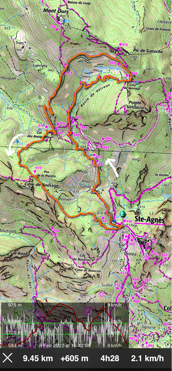
One February not long ago, we hiked to Mont Ours from Ste-Agnès. We now decided to do a loop hike passing through three cols above the village: Col de Verroux (935 m), Col des Banquettes (736 m) and Pas de la Piastre (935 m). It turned out to be another great winter experience in the mountains so near the Mediterranean coast.

As before, we parked at the village entrance (about 600 m elev.) and headed towards Col de Verroux along the well-signposted (#441, 442, 444, 445) trail. After a brief descent to Peyre Grosse (a few houses), we ascended above Ravin de Verroux eventually joining an ancient military track before the Col.


View to east from Ste-Agnès
View east from Ste-Agnès
Trail leaving Ste-Agnès


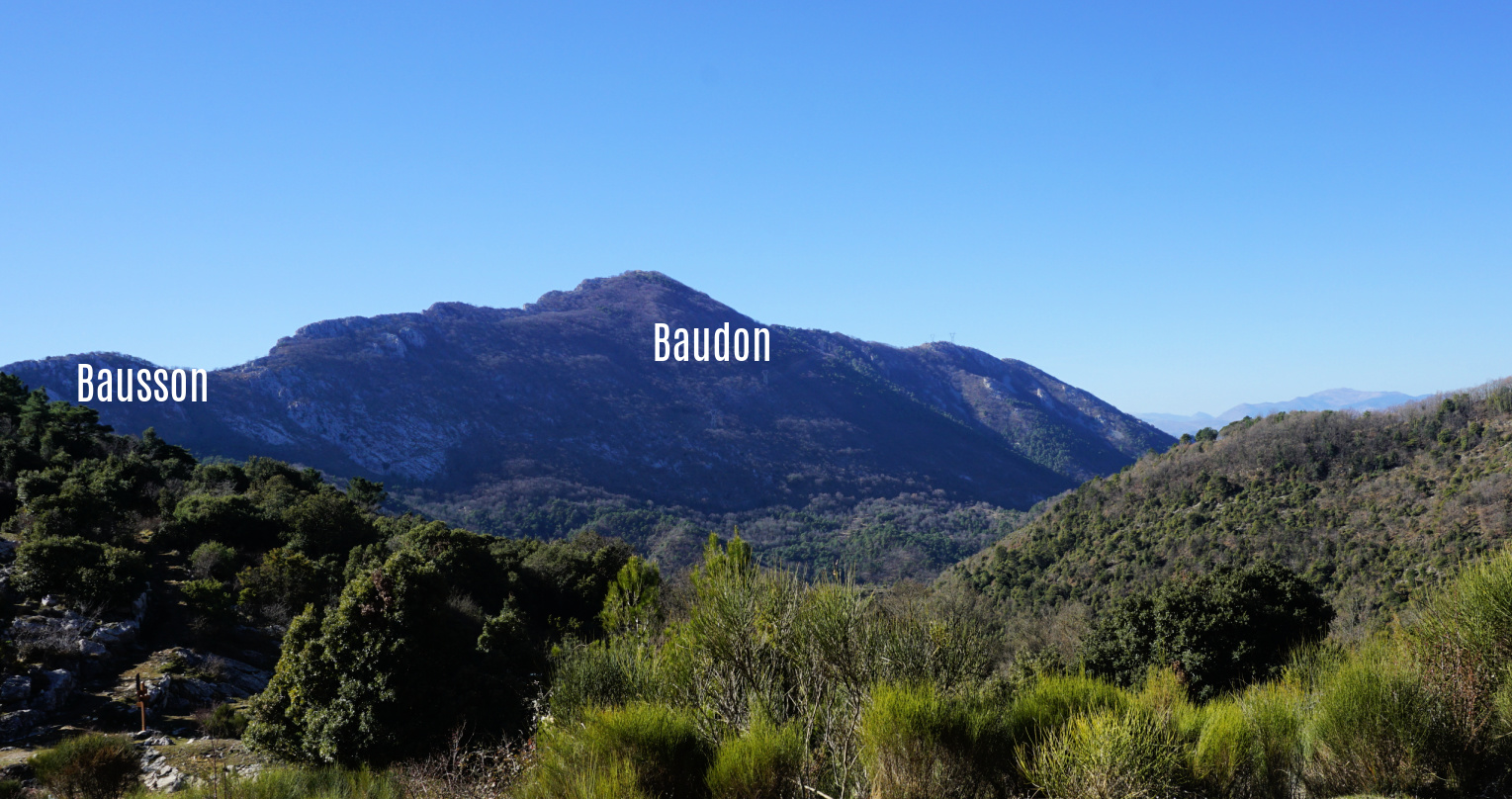
 From Col de Verroux (signpost #446), we forked left and followed a quasi-horizontal dirt track on the southern flank of Mount Ours and Pic de Garuche, heading west. We had super views as far as to the Mediterranean, Cime de Baudon, Bausson, and Ste-Agnès.


We reached a crossroads at signpost #472 and merged with the trail from Mont Ours. We descended along the rather steep trail towards Col des Banquettes, passing the bunkers located just above the Col. Last year, we hiked back to Ste-Agnès along the narrow but paved Route du Col des Banquettes, the shortest option. This time we ascended to Pas de la Piastre, a more interesting option. The old hiking signpost at the col had disappeared but the start of the steep trail was well visible between two dirt tracks. The trail was marked with yellow signs and was easy to follow in the woods to Pas de la Piastre.

   
Pointe Siricocca and Mont Ours
Trail after signpost#443
Ravin de Verroux
Ravin de Verroux
Old military track near Col de Verroux
Col de Verroux
Col de Verroux

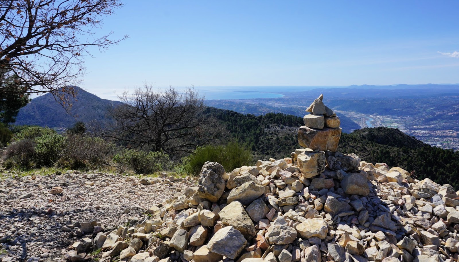
From Pas de la Piastre under Cime de Bausson (1087 m), we had a great view down to Ste-Agnès, with a glimpse of the coastline at Menton. From here, we descended rapidly back to our starting point.


Distance: 9,5 km


Climb: 605 m


Duration: 3h 45 active hiking time


Map: “Nice-Menton” Côte d’Azur 3742 OT


Cime de Baudon
Cime de Baudon

Path south of Col des Banquettes

Hike track from Ste-Agnès


Stuffed chicken escalopes

Stuffed chicken escalopes


For this recipe, you will need very thin chicken or turkey escalopes. Thin; store- bought escalopes should be placed between two sheets of aluminium foil and rolled to make them even thinner.

If possible, choose grilled and salted pistachios for the stuffing. Peeled pistachios can also be grilled in a dry frying pan with some salt added.

2 servings

2 very thin chicken or turkey escalopes

Olive oil

100 ml white wine

A handful of peeled pistachios and pine nuts

1 shallot, chopped

1 clove garlic, minced

½ small courgette, finely chopped

A handful of baby spinach leaves

Freshly ground black pepper

½ tsp. dried Provençal herbs

Kitchen string


Preheat the oven to 180° C, roast.


In a mortar, crush the peeled, grilled and salted pistachios and pine nuts with a pestle. Chop the courgette into small pieces.


Warm 2 tbsp. olive oil in a frying pan over medium heat. Sautè the courgette, shallot, and garlic for about 10 minutes until soft. Add the pistachios, pine nuts, and some black pepper. Add the spinach and continue cooking for a few minutes until the spinach is wilted.


Divide the stuffing on the escalopes and roll them. Tie the rolls with string.


Heat 1 tbsp. olive oil in a frying pan over medium heat and fry the rolls on both sides until golden. Place the rolls in a small oven- proof dish and pour the white wine around them. Transfer to oven and cook for 20 minutes. 


Serve with rice mix and green beans.


Mont Cima from St-Blaise


View from Mont Cima


In search of new, less visited routes, we wanted to explore the possibility to ascend from the village of St-Blaise (320 m) to Mont Cima (878 m). We have previously climbed to Mont Cima  along the popular trail from Aspremont (500 m).  

The north face of Mont Cima and Inarte is mostly forest-covered. There are both marked and unmarked trails on the slope. We had studied the area on maps and it should be possible to find a route to Mont Cima.


Starting from the village centre, we ascended along stairs, crossing the main road M14 three times. We walked past a small Eco museum by the road and first climbed along Chemin d’Amandier, then along a trail to signpost #826 where we took the right-hand path (Le Castel; La Gipasse) and ascended further to signpost #825. We forked right almost 180° and soon came to le Castel, ruins of a small castle perched above St-Blaise. The signposts from St-Blaise do not directly guide you to Mont Cima.

Still continuing along a marked trail (yellow), we now headed south west in the woods, quasi horizontally, along a very good path which merged with dirt track that runs along the mountain slope. We forked left, and walked along the dirt track about 500 m to a bend (arrow on the map; image). Here, we forked right and started to ascend along an unmarked trail. The trail had nevertheless some markings for mountain bikers. We climbed quite steeply to a crossroads under Mont Inarte, turned left and came to a small clearing east of Inarte. We continued southeast, and soon reached the familiar hiking path to/from Mont Cima.

You never get tired of the panorama from Mont Cima. It is 360°, from the Riviera coastline to Mercantour summits. There are orientation tables on the mountain top.

We descended along the same trail. There are many spots on this trail that offer great views to Nice hinterland as well as high peaks in the distance.

Climb: 600 m

Distance: 8.2 km

Duration: 3h 50 active time

Map: 3742 OT Nice Menton Côte d’Azur  

Mont Cima hike track


Stuffed sardine fillets à la Nicoise


Stuffed sardine fillets à la Nicoise


This recipe is inspired by a lunch that we recently had in St-Jean-Cap-Ferrat. The sardine fillets were stuffed with a typical Niçoise vegetable mix: mangold or spinach, shallots, garlic, black olives, tomatoes, and basil. All vegetables were chopped into small pieces and sautéed in olive oil before stuffing. The sardine fillets were then roasted in the oven.

They were served with panisses, chickpea flour cakes, and some extra vegetable mix as a side.

The dish was so tasty and healthy that I decided to try it at home. The following recipe is my twist of that terrace lunch.

2 servings

6- 8 sardine fillets

1 tbsp. dried bread crumbs

Olive oil

2 handfuls of baby spinach, chopped

1 shallot, chopped

1 clove garlic, minced

1 large or 2 small tomatoes, chopped

8 black olives, pitted and chopped

About 8 basil leaves, chopped

2 large store- bought panisses

2 tbsp. almond flakes


Wash the spinach and tomato and chop them into small pieces. Peel and chop the shallot and clove of garlic. Warm 2 tbsp. olive oil over medium heat and sauté the vegetables about 5- 10 minutes turning occasionally. Add the chopped olives. 


Preheat the oven to 210° C roast. Place the panisses in a large oven- proof dish and sprinkle with the almond flakes and some olive oil. Start roasting the chick-pea cakes; they need about 5-10 minutes longer than the sardine fillets.


Clean and dry the sardine fillets. Fill them wit the vegetable mixture and place them in the same oven- proof dish with the panisses. Sprinkle the sardine fillets with the breadcrumbs and some olive oil, place the dish back to the oven and roast for about 10- 12 minutes. Cover the remaining vegetable mixture and keep warm.


When the sardines are cooked and the almond flakes on the panisses are golden, remove the dish from the oven and divide on the plates. Divide the extra vegetable mixture on the plates and decorate with basil.


Short loop from Gréolières

Gréolières and higher village ruins


Gréolières (elev. ≈840 m) offers several great hiking routes, both long and short. The southern flank of the Cheiron Massif, above the Loup River Valley is mostly steep and rocky brushland but the mid-section of the mountain face comprises flatter terrain which has been used as pasture.


GR4 above Gréolières
Heading east from signpost#193
Cheiron Massif
Cheiron Massif
Cheiron Massif southern flank


From Gréolières, we ascended along the GR4 trail (starting from signpost #30), passing ruins of the ancient High Gréolières village, including its castle. We reached a crossroads at signpost #193 (Les Miroirs, St. Pons etc) where we forked right (east), leaving the GR4 trail. We continued along the yellow-marked PR trail in somewhat undulating open terrain (the highest point en route was about 1170 m). 


Autumn colours and Cheiron Massif
Autumn colours under Cheiron Massif
Loup River Valley
Loup River Valley
Return trail to Gréolières
Gréolières and upper Loup Valley


We reached signpost #192 where we forked right as planned. The trail back was narrower and steeper in the beginning, then levelled off and merged with a dirt track.


It turned out to be an agreeable loop with great views all the way. In Gréolières, you don’t have to climb far and high to experience the beauty of the Côte d’Azur Prealps!


Distance: About 6 km


Climb: 360 m


Duration: about 2h 30 active


Map: Vallée de l’Estéron  Vallée du Loup 3642 ET


Loop above Gréolières


Carrot purée and pork


Carrot purée and pork


For this dish, choose organic carrots that do not need to be peeled. This is a great spring recipe when new carrots arrive and oranges are still in season.

2 servings

6- 8 organic carrots

2 cm piece of fresh ginger, peeled and minced

Olive oil

½ onion, chopped

1 clove garlic, minced

Juice of 1 orange

About 250 g pork fillet, chopped into chunks

100 ml white wine

1/3 chicken stock cube, crumbled

2 tbsp. crème fraîche 15% fat or cream

Freshly ground black pepper

Chopped parsley


Wash the carrots, cut into large chunks and cook in boiling water 15 minutes. Drain the water, add the orange juice and ginger, cover and cook about 20 minutes until the carrots are soft. Add 1 tbsp. olive oil, 2 tbsp. crème fraîche, and some black pepper. Mix and press into a purée.


Meanwhile warm 2 tbsp. olive oil over medium heat in a frying pan. Sauté the pork chunks until golden on all sides. Add the onion and garlic and continue sautéing for 10 minutes stirring occasionally. Add the crumbled chicken stock and pour in the wine. Grind over some black pepper, mix well and let simmer until the pork is cooked.


Divide the carrot purée into bowls and place the pork on top.  Decorate with chopped parsley.


Loop hike: Bar-sur-Loup to Gourdon


Gourdon and Pic de Courmettes


We decided to ascend from Bar-sur-Loup to Gourdon via Bois de Gourdon and descend along Chemin du Paradis.

Bar-sur-Loup Mairie
Bar-sur-Loup mairie
Chemin de St-Michel
Chemin de St-Michel
GR51 west of Bar-sur-Loup
Towards Bois de Gourdon


We parked by the D2210 road below Bar-sur-Loup (≈300 m) and climbed to the village square. From there, we headed southwest along Avenue General de Gaulle then Chemin de Saint-Michel. At signpost #21 in front of a small chapel, we forked right and started to climb along Chemin de Bouscarle, passing the last residences. We temporarily merged with the GR51 and followed it to signpost #23. There we forked right, climbed along a forest path to the D3 road and crossed it. We walked past a small parking and signpost #17, and continued along a dirt track 250 m, where signpost #16 guided us to a forest path. We were in Bois de Gourdon which mostly consisted of oak trees.


Bois de Gourdon
Bois de Gourdon
Haut Montet seen from trail
GR51 under Gourdon
GR51 under Gourdon
Chemin du Paradis below Gourdon
Chemin du Paradis GR51
GR51 above signpost#5
Missing bridge over Riou de Gourdon


We ascended a bit more, now straight north to signpost #15, and merged with the same dirt track. At about 790 m, this marked the highest point of the hike. From here, the itinerary followed the dirt track; we descended along it to signpost #14 where we forked right (east) to a paved road (Chemin du Naouq), and walked to Gourdon (740 m), already visible in front of us.


It was a sunny and warm autumn day, and restaurants and shops in the village seemed busy. After a brief stop, we headed back to Bar-sur-Loup. We descended steeply along the familiar Chemin du Paradis trail, also GR51. At signpost #4, we forked right, still following the GR51 trail. The old narrow iron footbridge over Riou du Gourdon had disappeared, and a new one was under construction. Fortunately, the stream bed was dry and could be crossed.


At signpost #18 we left the GR51, forked left and descended back to Bar-sur-Loup.

It turned out to be a great loop mostly along good trails, dirt tracks and paved roads. The rocky trail down from Gourdon always requires surefootedness and some gymnastics was needed to cross the bridgeless stream bed. 


Distance: 11,8 km


Climb: 540 m (about 30 m less if you start from the main square)


Duration: 4h 15 active


Map: 3643 ET Cannes Grasse Côte d’Azur


Bar-sur-Loup Gourdon loop