La Tête de Vinaigre
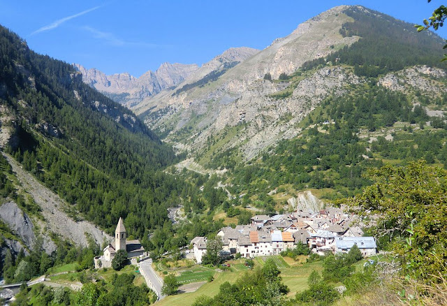
The small village of Saint-Dalmas-Le-Selvage is the centre of the highest commune in Alpes-Maritimes. It is better known as a cross-country skiing centre, but in the summer it is an excellent starting point for several hikes.
The village is quiet, no-nonsense, and is situated in a formidable environment. The sheep-raising tradition is still very much alive in Saint-Dalmas-Le-Selvage, and in the neighboring hamlets Pra and Bousiéyas. In summertime huge sheep herds are taken to and from grazing grounds at higher altitude.
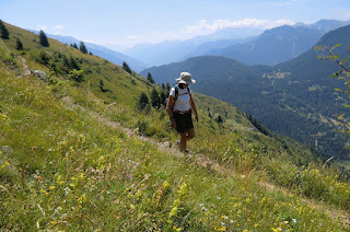
Today’s hike starts from signpost 68 at the village entrance. The main parking is in the other end of the village. Most of the trail is actually a tiny part of the mythic GR5 trail; hence follow the white and red signs to signpost 48 just above the village. From here the continuous ascent starts towards Col de Colombière (2237 m). After about 40 minutes, the trail enters the Mercantour National Park.
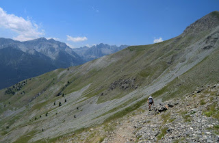
Navigation is easy. The whole trail runs in an almost treeless environment. In spite of the altitude, it can be very hot on a sunny summer day. For this hike, two liters of water plus 600 ml of sports drink to supply electrolytes was just enough for an average guy. We drink at the start, then every 30 min, and snack on salty nuts and fruits.
A few sheep herder’s huts are close to the trail. On the day of our hike, dogs guarding the flock made their presence known without being directly menacing, and kept their distance.
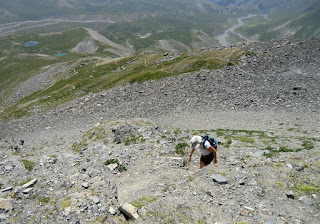
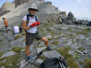
The last push to Col de Colombière is a bit steep. The trail zigzags to signpost 47, located at the mountain pass. This is also the crossroads where GR5 continues north descending to Bousiéyas, the left hand trail goes up to Crête de la Blanche, explored by us earlier. Our trail forks right (to east) ascending to Tête de Vinaigre (2394 m). From the summit, almost all major peaks of northernmost Alpes-Maritimes are visible, including Mont Tenibre (3031 m). In the northwest, the cone-shaped Cime de la Bonette (2860 m) can be seen.
We used the same trail back to Saint-Dalmas-Le-Selvage.
Total elevation gain: 900 m
Duration: 2h 45 climbing, 2h descent
Map: IGN “Haute Tinée” 1 3639 OT
Distance from Nice: 98 km/ 1h 40
Image of itinerary courtesy of Google Maps


