According to some historians, the first road over the mountain pass of Tende,
Col de Tende, was constructed by Phoenicians and later maintained by Greeks and Romans.
In the 19th Century, numerous forts were erected on both sides of the col by
the Italians to protect the Piemont Region. By the end of the 19th Century, a
road and railway tunnel was constructed.
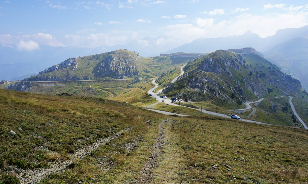
|
| Col de Tende |
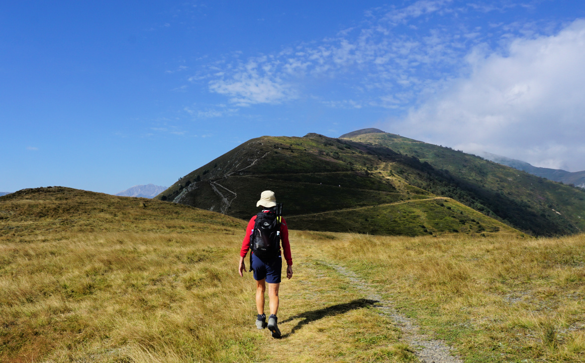
|
| Near Col de Tende |

|
|
Fort de la Marguerie
|
After the devastating storm Alex in October 2020, both the road and rail
connections were cut, and the road tunnel remains closed. Now it is possible to reach the pass by car from Casterino on
the French side using a narrow unpaved road best suitable for 4X4s. All the
others driving from Alpes Maritimes need to circle via Col de la
Lombarde above Isola2000 (as we did) or take the longer coastal route
via Imperia and Cuneo to reach Limone.
Having Limone as our base, we drove up along a paved road to Col de
Tende, Passo della Tenda (1871 m). It was a busy day, and the
dirt track to Casterino was used by numerous motorists including jeep safari
groups. We parked at the col proper a few 100 m past Chalet le Marmotte.

|
|
Under Fort Pernante
|

|
| Fort Pernante |
|
|
West of Fort Pernante
|

|
| Roche de l'Abisse |
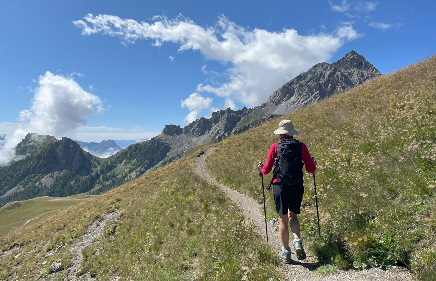
Having hiked to the east from the col some years ago, we now wanted to
explore the itinerary to the west as far as to Fort de Giaure (2254
m).
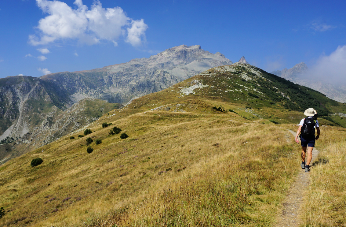
From the col (signpost #340 on French maps), we climbed straight to Fort
Pernante (2119 m) along a narrow trail apparently marked for mountain bikers
as well. Fort de la Marguerie was well below us, next to the Casterino dirt
road. All the fortresses are today on the French side of the border. We
descended a bit, and hiked along the southern flank of Cime de Salante.
Our goal was visible in front of us, its northern flank very steep and
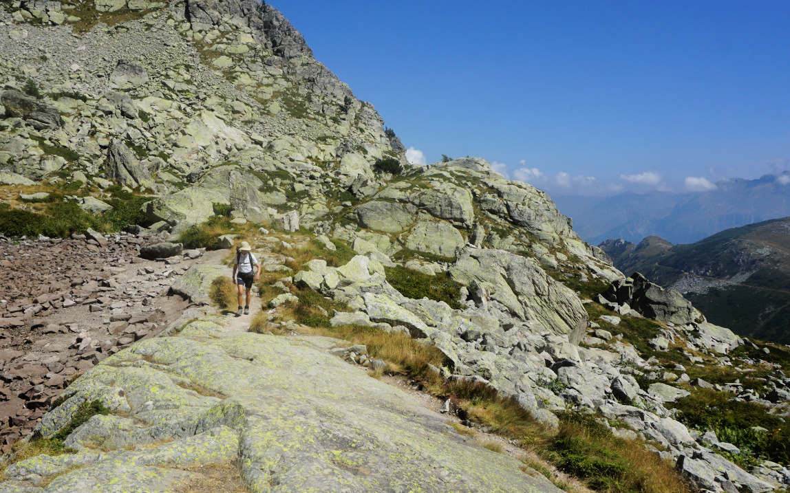
rocky. Maps advise to use the wide zigzagging old military trail. However,
we came to a sign showing “itineraire”. The original trail was blocked by a
rock slide higher up. We followed the instructions, and had to negotiate
some rocky stretches here as well before reaching a small lake, now dry. We
turned southeast and merged with the main trail above the rock slide. Some
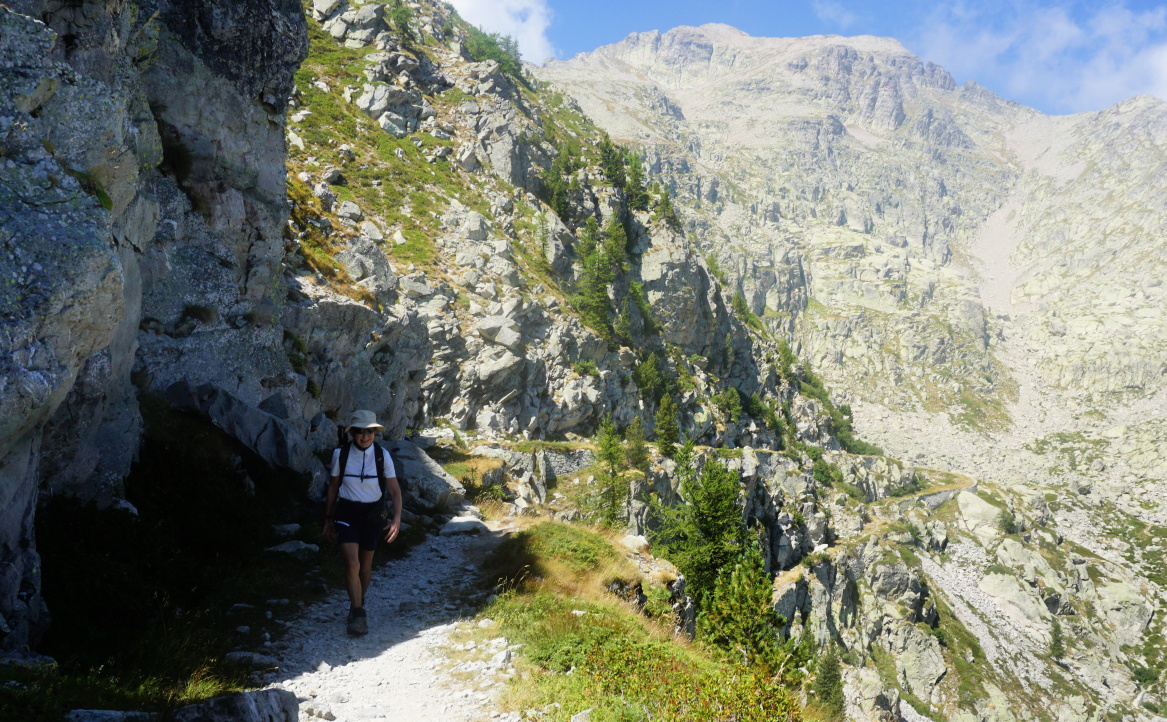
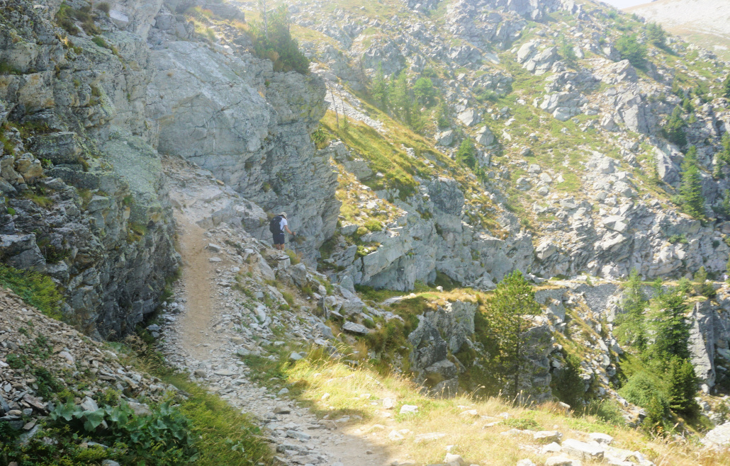
parts before the fortress were narrow and exposed. At one point, a wire rope
was installed.
From the fortress, the panorama was excellent to both countries. From
signpost #380 west of the fort, one trail descended down to Casterino while
the other one ascended up to the nearby Roche de l’Abysse (2755 m).

|
|
Detour to Fort de Giaure
|
|
|
Detour trail higher up
|
|
|
Exposed part of trail Fort Giaure
|

|
| At Fort de Giaure |
|
|
Narrow trail near Fort de Giaure
|
On the way back, we first used the same trail then a smooth quasi horizontal
trail circling north of Cime de Salante then north of Fort Pernante before
descending back to our starting point.
Distance: 11,5 km
Climb: ~500 m (inaccurate elevation data from two apps)
Duration: 4h 30
Map: 3841 OT Vallée de la Roya
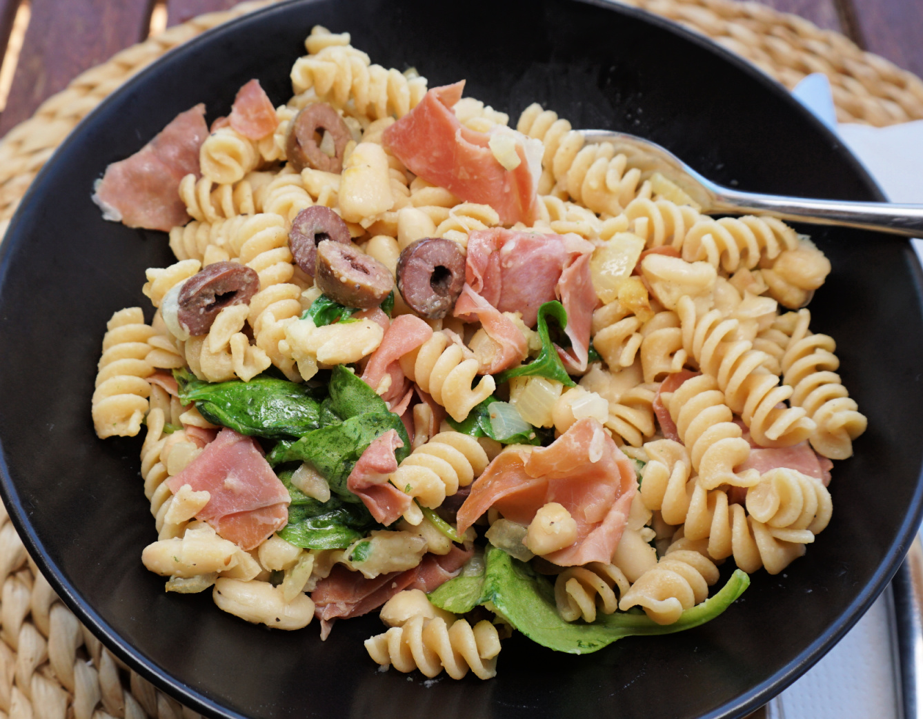
This simple but satisfying dish makes a nice lunch or supper in autumn or winter. Any short pasta shapes such as fusilli or penne work in this recipe.
If you are in a hurry, use cooked white beans either from a jar or frozen white beans. The animal protein from prosciutto compliments the vegetable protein from beans.
For a colourful presentation, serve the dish in dark bowls.
2 servings
2 tbsp. olive oil
1 small onion, chopped
1 clove garlic, minced
About 200- 250 g cooked white beans
2 handfuls of baby spinach
4-5 slices of Prosciutto di Parma
About 8 black olives, sliced
Freshly ground black pepper
Whole wheat fusilli for 2 servings
Warm the olive oil over medium heat in a large sauté pan. Cook the onion and garlic for about 10 minutes until soft but not browned. Add the white beans to the pan. If using beans from a jar, rinse them under running water and drain before adding.
Cut the prosciutto into smaller pieces and add to the pan. Add the spinach and sliced olives. Grind over some black pepper.
Meanwhile cook the pasta according to the advice on the package. Drain, add to the pan and mix. Divide the dish into the bowls.
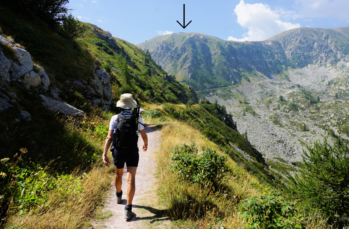
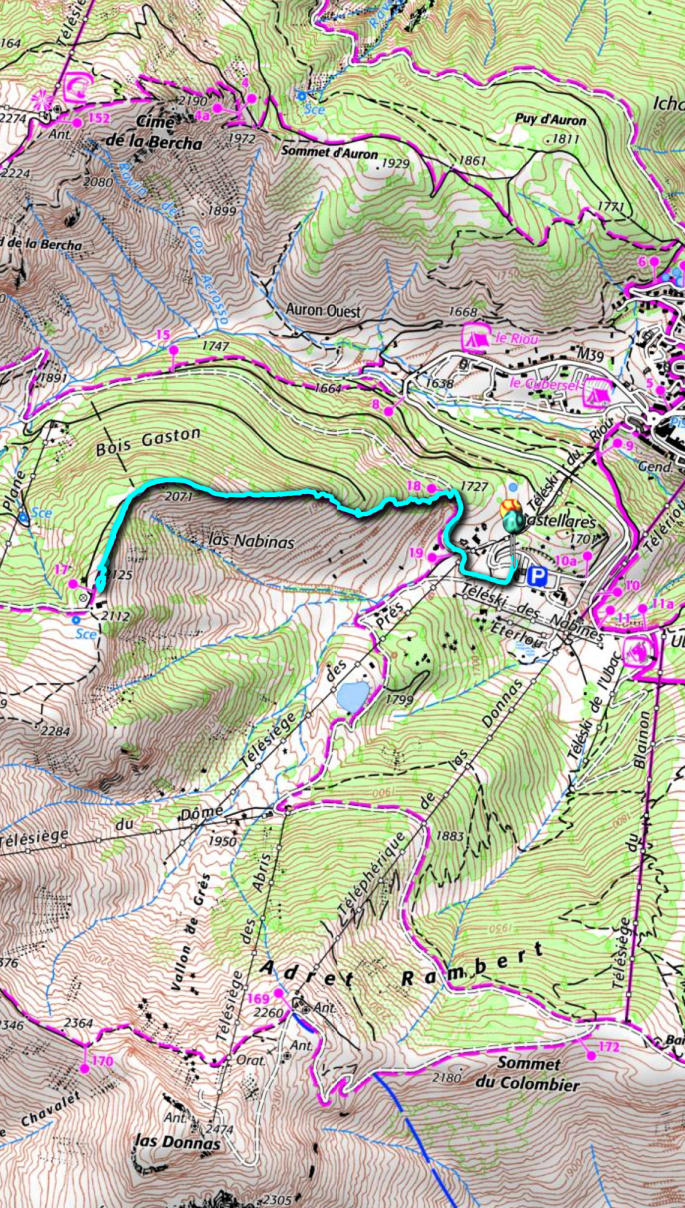
In Auron, we wanted to explore a less frequented trail on a picturesque ridge, Crête de Bois Gaston. It turned out to be a good and efficient morning exercise.
 |
| Sauma Longa viewed from Auron |
 |
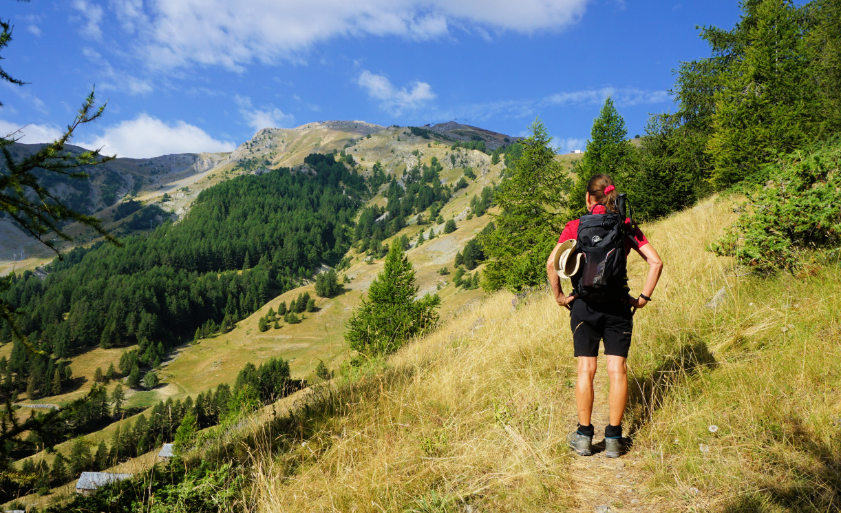
| Start in Bois Gaston |
 |
| Bois Gaston Ridge |
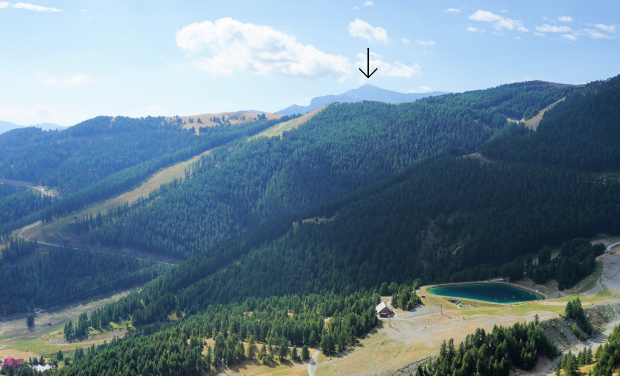 |
| Mont Mounier in the south |
We drove to the upper large paved parking (~1650 m) which was almost empty. We walked along a wide dirt track (easy ski slope in winter) to signpost #18, forked left and started to climb in Bois Gaston which mainly comprised a larch wood. The trail was good but very steep and in fact climbed continuously about 400 m before levelling off. Higher up, clearings gave us some very nice views down to Auron. Mont Mounier became visible in the south.
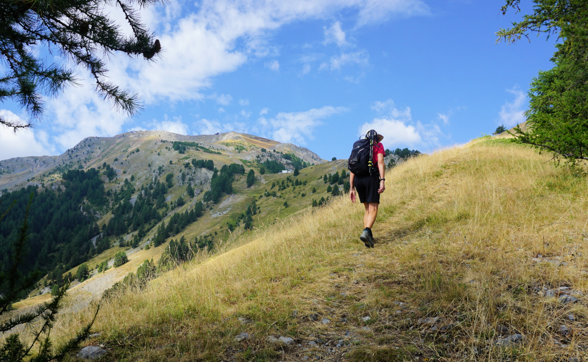 |
| Bois Gaston Ridge higher up |
 |
| Tinée Valley in morning haze |
 |
| Mont Tenibre and Corborant |
 |
| Bois Gaston Ridge steep trail |
At about 2070 m, the trail (yellow markings but only here and there) turned left (southwest) and we briefly entered a wood before reaching 2125 m and the ridge next to Sauma Longa (or Sauma Longue; signpost # 17), a small wintertime mountain restaurant now deserted.
We returned along the same trail.
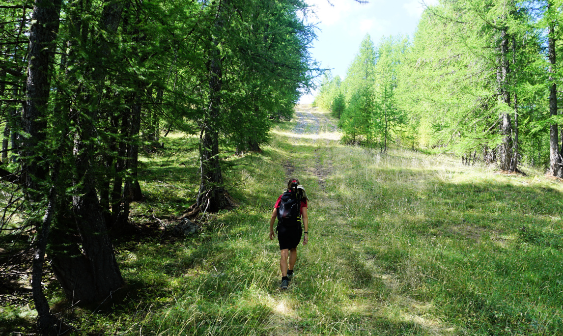 |
| Last push to Sauma Longa |
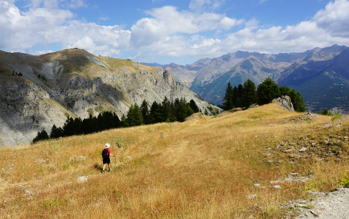 |
| Near Sauma Longa |
Climb: 474 m
Distance: 4,7 km
Duration: 2h 40 active
Map: 3639 OT Haute Tinée 1 Auron
This colourful and tasty dish is perfect to make in late summer and early autumn when the local tomatoes are at their best. The recipe needs minimal cooking so it is ideal for hot summer evenings.
Any firm-fleshed white fish works in this recipe; monkfish, halibut or cod. Serve with some black rice and decorate with fresh basil for a colourful contrast.
2 servings
2 tbsp. olive oil
1 small onion, minced
1 clove garlic, minced
2 tasty tomatoes, finely chopped
½ tsp. Piment d’Espelette or other mild chilli
Juice of ½ lemon
2 tbsp. crème fraiche 15% fat or cream
200 g white fish fillet
200 g cooked and peeled giant prawns
Black rice for 2 portions
Chopped basil to decorate
Start by cooking the black rice which takes about 20 minutes. Drain and keep covered until needed.
Warm the olive oil over medium heat and sauté the onion and garlic for 5 minutes. Add the tomatoes and Piment d’Espelette and continue cooking for 10 minutes. Whisk in the lemon juice and crème fraiche just before serving.
Meanwhile roast the fish fillet in 200°C for about 12 minutes until done.
Divide the black rice in the centre of the plates and the tomato sauce around the rice. Divide the fish fillet in 2 portions and place on top of the rice. Decorate with giant prawns and basil.
North of Authion, several summits lie next to the
GR52 trail soon after the Pointe des trois Communes and
signpost # 410.
We wanted to explore Cime de Tuor (2151 m,) well visible from Authion
and with its steep southern flank quite impressive despite the elevation just
100 m or so more than that of Authion.
|
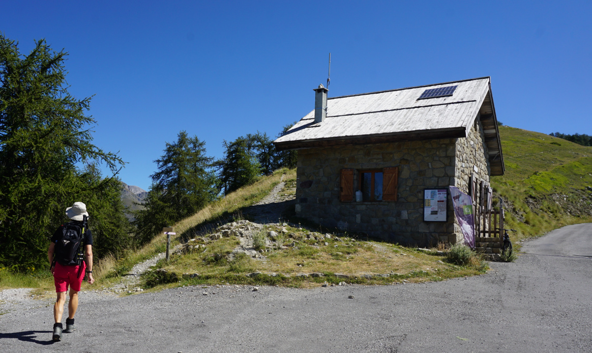
| Cabane de Tueis |

|
|
GR52 from Cabane de Tueis
|

|
|
Cime du Diable seen from Authion
|

|
Pointe des Trois Communes
|
From Cabane de Tueis parking (1889 m), we headed east following GR52
and ascended along a panoramic ridge. We passed some ruined barracks and
reached signpost #410 next to Pointe des trois Communes. We descended
to Baisse de St-Véran (1836 m) and climbed along the eastern flank of Cime
de Tuor to Col de Raus. Here we left the GR52.
Maps indicate a path to the summit but in reality it was almost
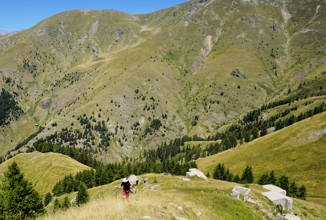
ingrown and invisible. A bit higher, we passed remnants of old bunkers. We
settled for the northern fore summit where we had our picnic before
returning to Col de Raus then back to our starting point.

|
|
Cime de Tuor northern flank
|
|
|
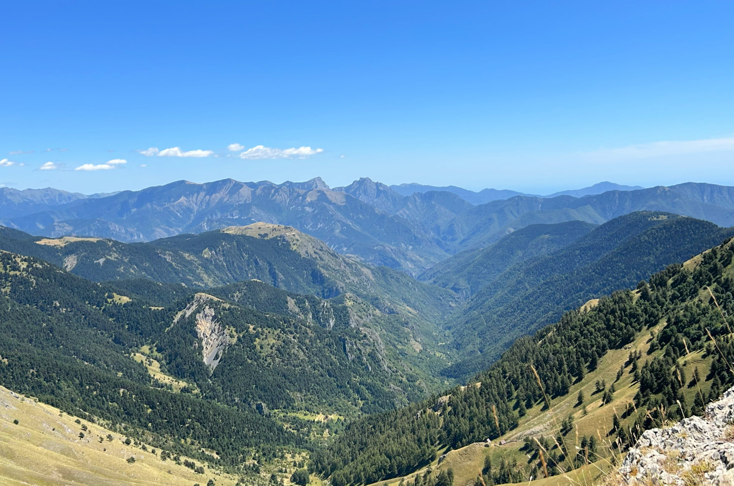
View east from Cime de Tuor
|
|
|
Steep northern flank Cime de Tuor
|
|
|
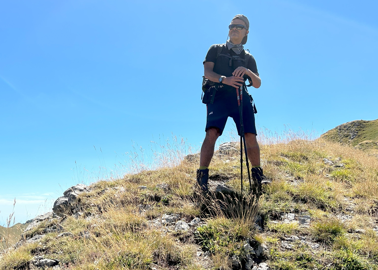
Cime de Tuor fore summit
|

|
|
GR52 south of Col de Raus
|
This itinerary which ran entirely above the tree line, offered panorama
views all the way. The southernmost 2500 m+ peaks (Such as Cime du Diable,
Mont Capelet Superieur) were just in front of us in the north. Choose a day
with good visibility when hiking in this region.
Climb: 710 m
Distance: 11,4 km
Duration: 4h 30
Map : 3741 OT Vallée de la Vésubie
I got inspiration for this Sicilian summer spaghetti, Spaghetti alla coppola, from the wonderful book On Persephone’s Island by Mary Taylor Simeti. In 1962, she went to Sicily where she married and raised two children.
In her book, she describes the authentic Mediterranean cuisine like it was in those times in Sicily. This summer spaghetti was one of the favourite summer dishes. The tomato sauce was made from fresh tomatoes and basil and the dish was topped with dark slices of fresh aubergine. The dish will make a perfect simple lunch on a hot summer day when the tomatoes are at their best.
Serve some goat cheese or parmesan shavings over your green side salad as this vegetarian pasta dish is very low in protein.
2 servings
3 tbsp. olive oil
1 small onion, minced
1 clove garlic, minced
3-4 very ripe tasty tomatoes, chopped
½ tsp. dried Provençal herbs
1 small aubergine, thinly sliced
Freshly ground black pepper
Spaghetti for 2 servings
Lots of chopped fresh basil
Warm 2 tbsp. olive oil in a large frying pan over medium heat and start frying the aubergine slices until they are soft and dark on both sides.
Warm 1 tbsp. olive oil in a smaller frying pan over medium heat and sauté the onion and garlic for 10 minutes. Add the chopped tomatoes, Provençal herbs, and black pepper. Continue sautéing until the tomatoes have released the liquid and it has evaporated. Meanwhile cook the spaghetti and wash and chop the basil. Add some of the basil in the tomato sauce and save the rest for decoration.
Drain the cooked pasta and divide on the plates. Top with the tomato sauce and aubergine slices. Decorate with basil.
When hiking near Serre Chevalier the day before, we observed the cone-shaped light coloured peak of la Cucumelle (2698 m) in the northwest. Studying the map, we found out that a trail goes to the summit from the Col de la Cucumelle (2501 m).
We took advantage of the le Bachas chairlift which in the summer season ran from Monêtier-les-Bains (1440 m) to 2174 m.
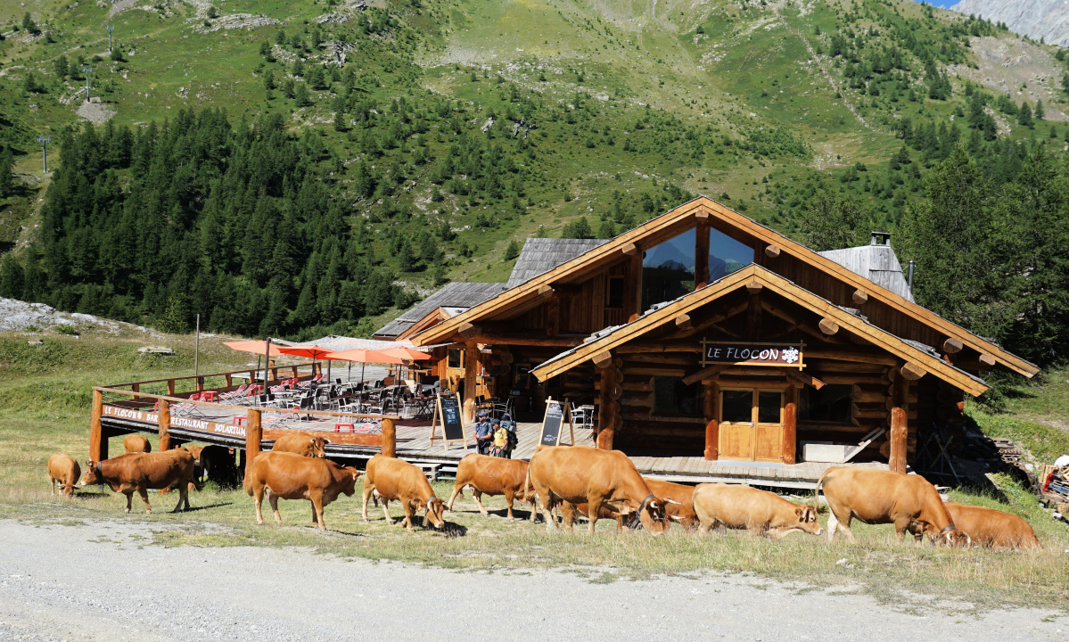 |
| Near Bachas chairlift |
 |
| GR54 near Bachas |
 |
| Grand Galibier seen from Bachas |
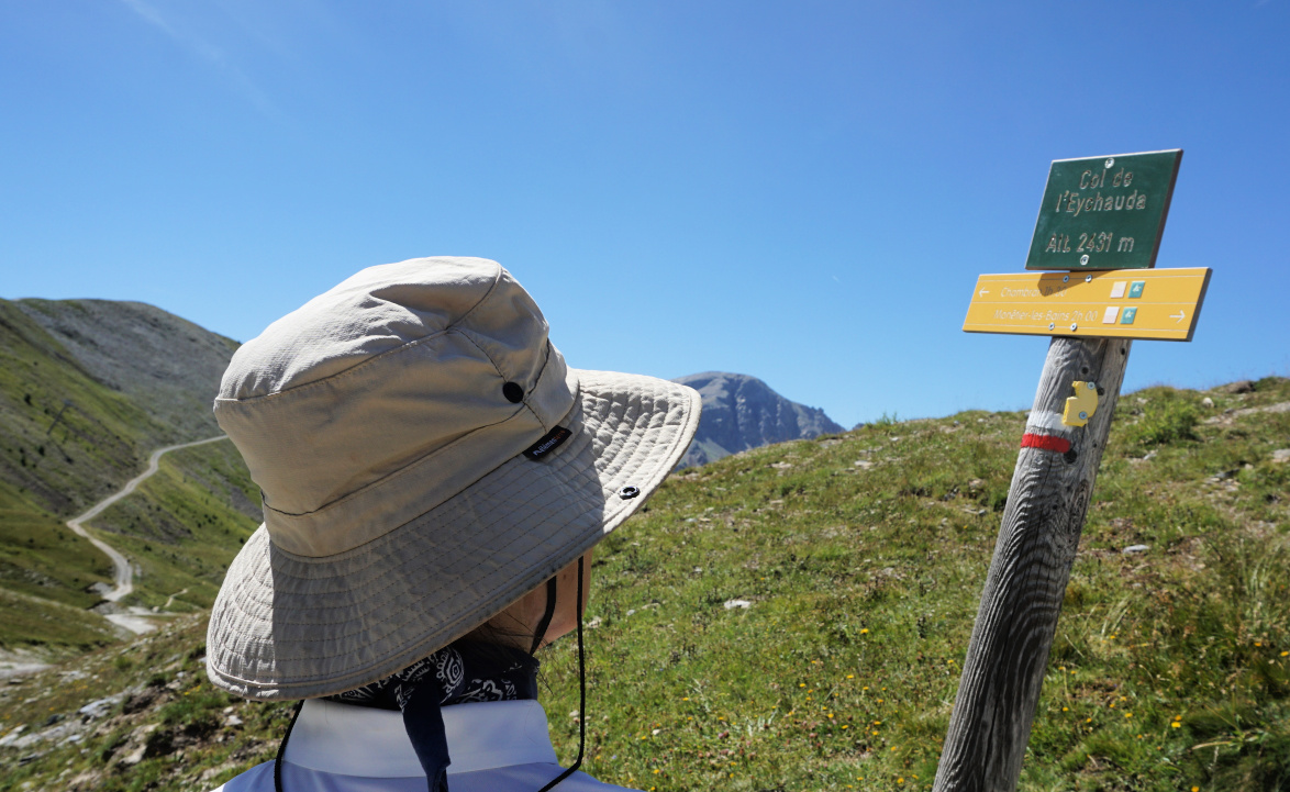 |
| Col de l'Eychauda |
From the chairlift, we followed the GR54 trail south to Col l’Eychauda (2431 m). Most of the trail followed a wide dirt track which made the itinerary less interesting although the views were spectacular. Before Col l’Eychauda we had our goal on our left-hand side. The western flank of la Cucumelle was precipitous , and continued to the north as a ridge named Rocher du Grand Pre.
We ascended to Col de la Cucumelle. The steep trail to the summit was entirely visible on the almost white southern flank. Nearing the summit, the incline became steeper and steeper but the grip of our hiking shoes held on the slate rock surface. Not recommended in bad weather!
The narrow summit was marked with a wooden cross. Not surprisingly, the panorama was 360° with the nearest Monêtier glaciers in the west.
 |
| La Cucumelle southwestern flank |
 |
| Serre Chevalier viewed from la Cucumelle |
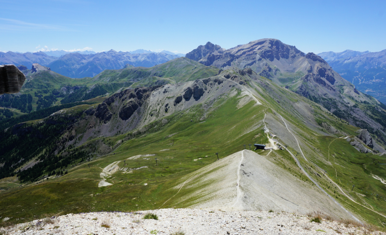 |
| Col de la Cucumelle seen from summit |
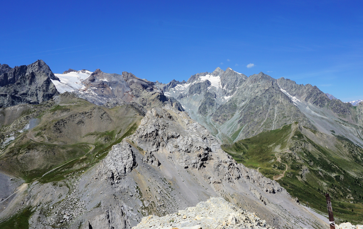 |
| View west from la Cucumelle |
We took the same trail back the starting point, minding every step below the summit. Another hiker first descended along the grassy albeit steep eastern flank to a trail below.
Climb: 530 m
Distance: 7 km
Duration: 3h 30
Map: 3536 OT Briançon Serre-Chevalier Montgenèvre
The following topping for fish is loosely based on a lunch we recently had in Majorca, the Balearic Islands. This topping will jazz up any limp and a bit tasteless white fish such as blue ling or haddock.
In the photo, the blue ling fillets are served with roasted yellow squash, black rice, and chopped basil.
2 servings
4 tbsp. crushed almonds or grilled hazelnut powder
1 clove garlic, pressed
1 tsp. dried Provençal herbs
Freshly ground black pepper
8 tinned anchovy fillets
2 tbsp. olive oil
Soak the anchovy fillets in water for about 10 minutes to remove some of the salt. Remove from water and crush into a paste in a bowl. Add all the other ingredients and mix into a nice paste.
Preheat the oven to 200° C roast.
Place the fish fillets in an oven-proof dish coated with some olive oil. Divide the topping on the fillets and roast for 10 minutes.
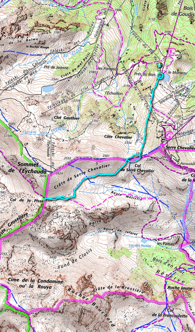
We decided to explore the trails west of Serre Chevalier (2491 m), and based on last years’ experience we took advantage of the Casse du Boeuf chairlift from Villeneuve (1400 m) as we planned to do a shorter hike at a higher altitude.
The high starting point offers numerous itineraries. We had previously hiked to Serre Chevalier summit then down to the valley.
 |
| Casse du Boeuf chairlift |
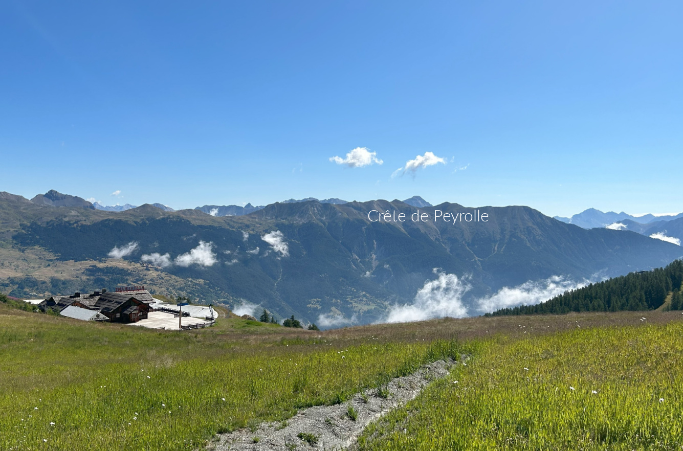 |
| Crete de Peyrolle |
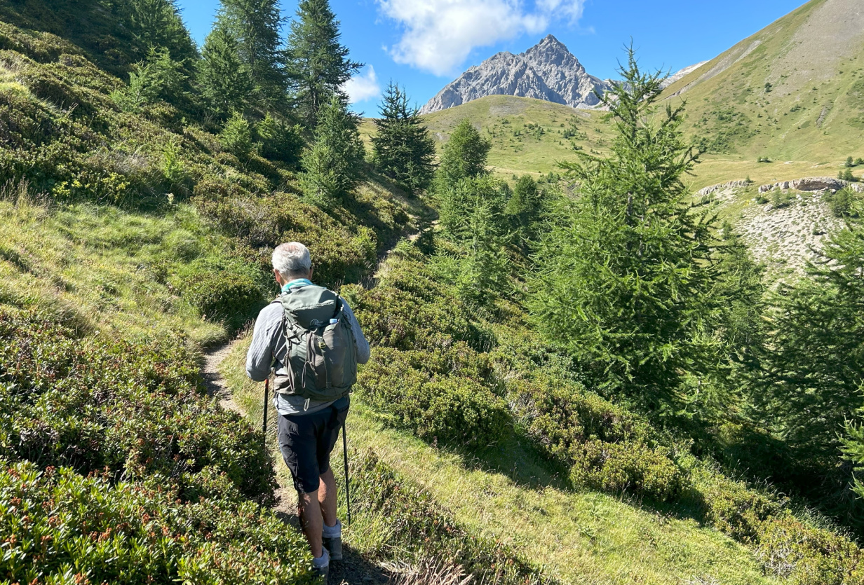 |
| Serre Chevalier western flank |
 |
| Scenery west of Serre Chevalier |
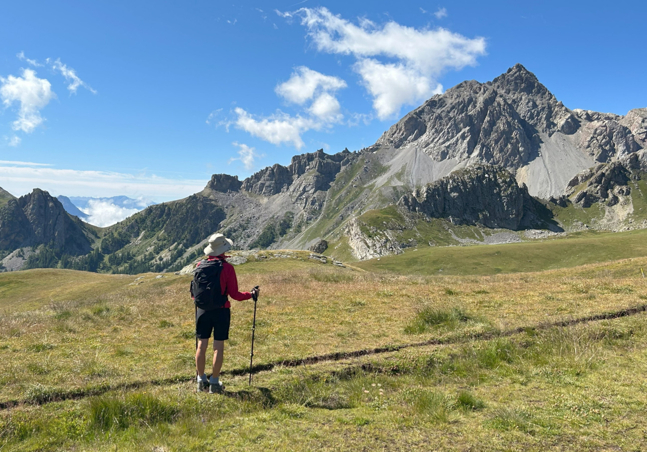
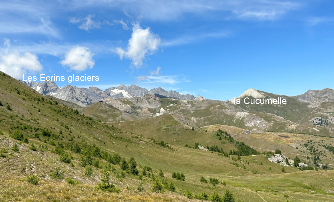
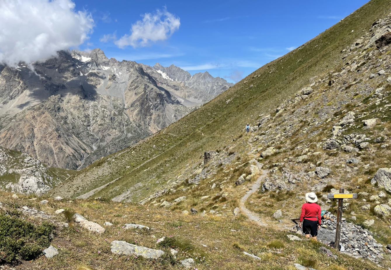
From the chairlift (2270 m), we climbed up to a crossroads at the foot of the northern flank of Serre Chevalier where took a good trail which ran along the western flank to Col de Serre Chevalier (2381 m). Forking right (west), we continued along the southern flank of Crête de Serre Chevalier with great views to the south/southwest as well as to the east, over the Durance River Valley. This area was outside of the ski runs and lifts and therefore very attractive. We climbed a bit further to Col de la Pisse (2501 m) where some of the Ecrins glaciers could be admired in the northwest.
We used the same trail back to the starting point.
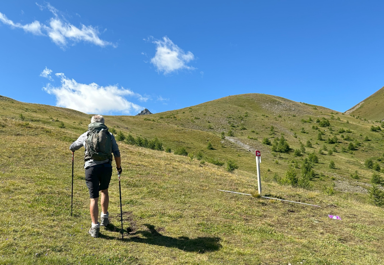 |
| Nearing Col de Serre Chevalier |
 |
| View south Col de Serre Chevalier |
 |
| View northwest Col de Serre Chevalier |
 |
| Near Col de la Pisse |
 |
| Col de la Pisse 2501m |
Climb: 300 m
Distance: 6,2 km
Duration: 2h 30
Map: 3536 OT Briançon Serre-Chevalier Montgenèvre
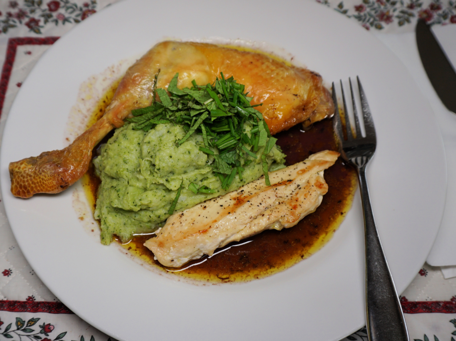
The following chicken recipe is perfect in autumn when the days get darker and cooler and we crave warmer dishes. But it is just as suitable on a miserable and rainy spring day.
Roasting the chicken legs in oven with red wine and chicken stock gives tender and tasty chicken as well as a nice reduced red wine sauce. A light Bourgogne red or Chianti would go well with this recipe.
2 servings
2 free-range chicken legs
1 free-range chicken breast
2 medium potatoes
½ head of broccoli
Olive oil
150 ml red wine
150 ml chicken stock
1 shallot, chopped
1 clove garlic, minced
A pinch of salt
Fresh herbs to decorate
Preheat the oven to 200° C roast.
Place the chicken legs in an ovenproof dish. Spread 2 tbsp. olive oil on the legs. Pour the red wine and chicken stock in the dish and roast for 45 minutes.
Meanwhile cook the chicken breast in a small frying pan and make the green purée.
Warm 1 tbsp. olive oil in a small non-stick frying pan over medium heat. Cut the chicken breast in halves lengthwise. Cook in the frying pan for 20 minutes turning once. Cover and set aside.
Peel the potatoes and cut them into pieces. Place in slightly larger saucepan and add water to cover the potatoes. Add the shallot and garlic and cook for about 15 minutes until the potatoes are soft. Drain, cover and set aside.
Cut ½ broccoli head into smaller pieces. Place in a saucepan with some water and a pinch of salt. Cover and cook for 5 minutes until soft. Transfer the broccoli into the potato saucepan reserving some of the cooking water. Add 1 tbsp. olive oil and a little cooking water and mix into a purée with a handheld mixer. If needed, add more water into a nice consistence.
For the presentation: Divide the reduced wine sauce from the ovenproof dish on the plates. Place the chicken legs and breast halves on the sauce. Arrange the green purée in the middle of the chicken pieces and decorate with chopped herbs.


