Boeuf Bourgignon à la Côte-d'Or


Boeuf Bourgignon à la Côte-d'Or


Bœuf Bourgignon is the famous beef stew from the Bourgogne Region. In a recent TV-show on the French morning TV, Télématin, a cheffe from the Côte-d’Or Departement showed her version of the recipe. The meat was separately simmered for 3 hours in Pinot Noir red wine with mushrooms and leeks so that the beef was super tender and the thick sauce almost black in colour. The vegetables were separately sautéed and simmered until soft. Her choice of vegetables was more adventurous; to the usual carrots and onions also courgettes, turnips, and green asparagus were added. I was inspired!

The following recipe is my twist of the TV-show. I simmered the beef for 2 hours on the hob in a heavy cooking pot, cocotte, and then cooked it for 1 hour in the oven. I simmered the vegetables in another cocotte until soft.

2 servings

About 300- 400 g stewing beef

500 ml Pinot Noir red wine

1 leek, sliced

4- 6 mushrooms, chopped

Olive oil

For the vegetables:

1 small onion, halved

1 clove garlic, minced

1 carrot, cut into 3-4 cm long chunks

2 small courgettes, cut into 3-4 cm long chunks

1 turnip, peeled and halved

Olive oil fresh herbs to decorate


In a heavy cooking pot, cocotte, warm 2 tbsp. olive oil over medium heat. Lightly brown the beef. You may need to do this in batches. Set aside. Sauté the mushrooms and leek in the same pot for a few minutes. Transfer the meat back to the pot. Add a pinch of salt, some black pepper and pour in the Pinot Noir. The beef should be covered by the wine. Bring to the boil, then reduce the heat to simmering. Cover and cook for 2 hours.


Preheat the oven to 180° C.


Transfer the cocotte uncovered into the oven and cook for 1 hour.


Meanwhile warm 1 tbsp. olive oil over medium heat in another cocotte. Sauté the vegetables for a few minutes. Add 100 ml water, reduce the heat to simmering and cover. Cook for about 2,5 hours until the vegetables are soft. 


For the presentation:

With a slotted spoon, take up the vegetables from the pot and divide on the plates. Divide the beef in the centre of the plates and pour over the sauce. Decorate the vegetables with some chopped fresh herbs. Bonne Appétit!


Vars: L'Ecuelle Loop


L'Ecuelle mountain pass


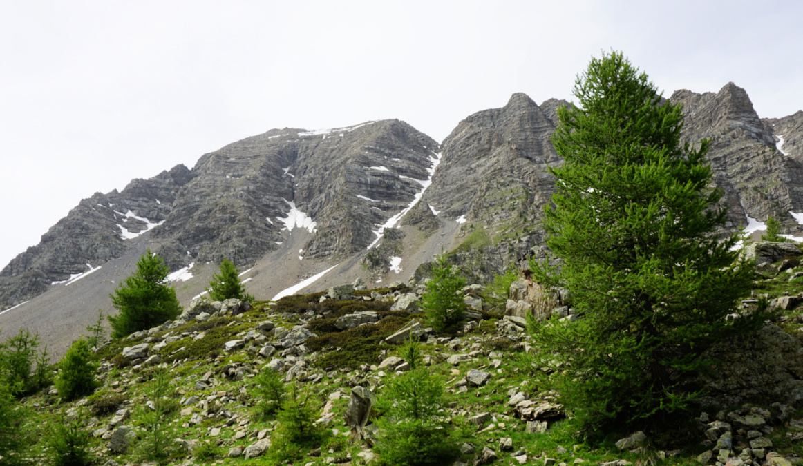
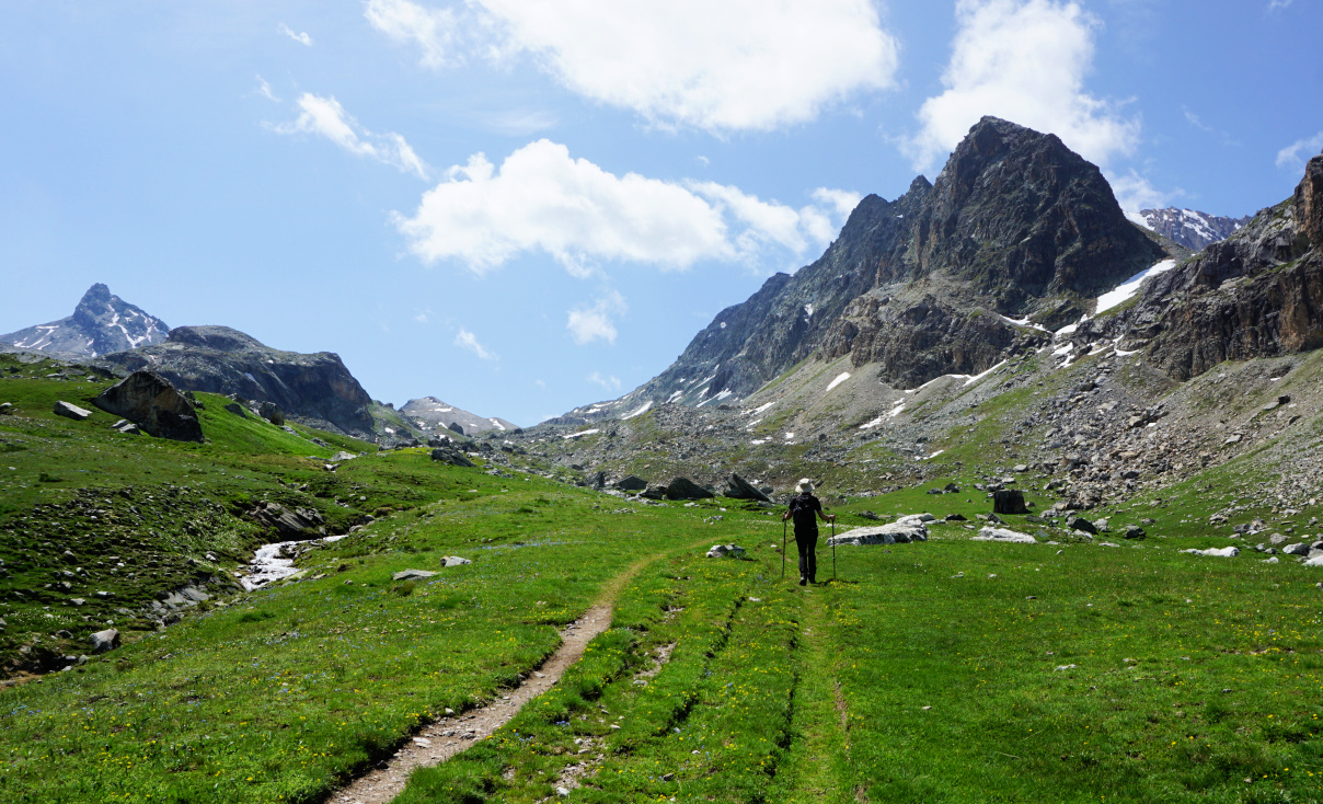
The following relatively short loop above Vars ascends to la Combe Froide under the Eyssina Massif (2837 m). It gives the opportunity to experience a high mountain atmosphere near the village and outside of the ski lift system.

Starting point of L'Ecuelle hike
Larch forest after start
Vars Les Claux
Vars Les Claux
Ascending trail to Combe Froide

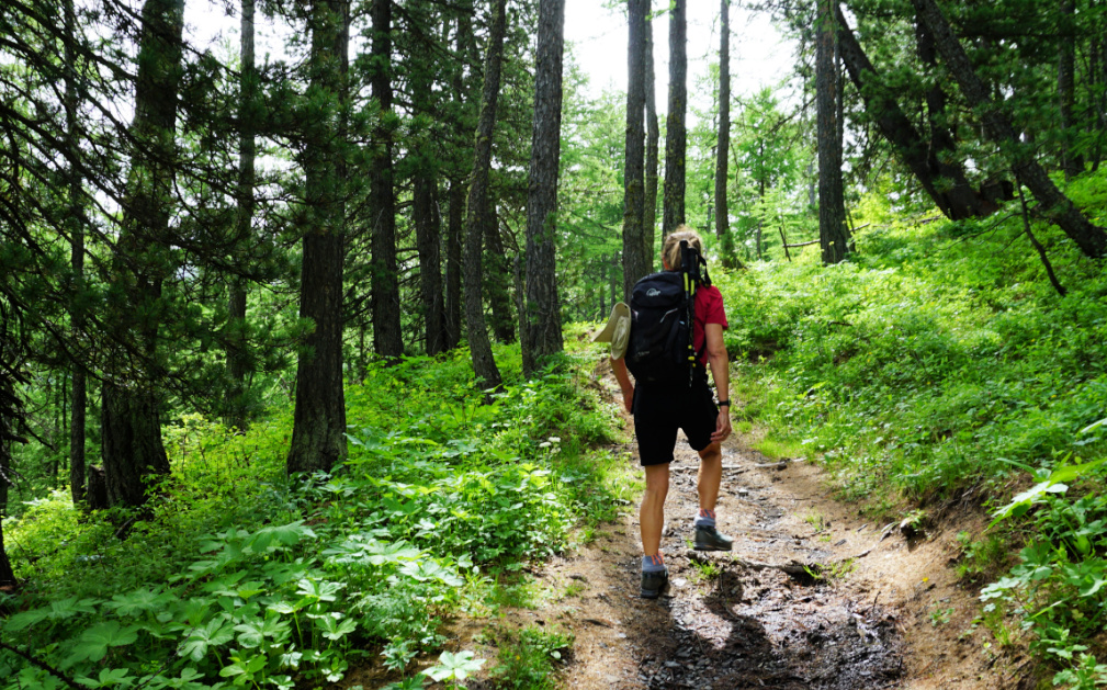
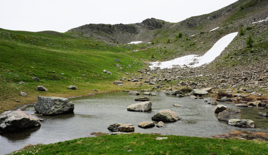
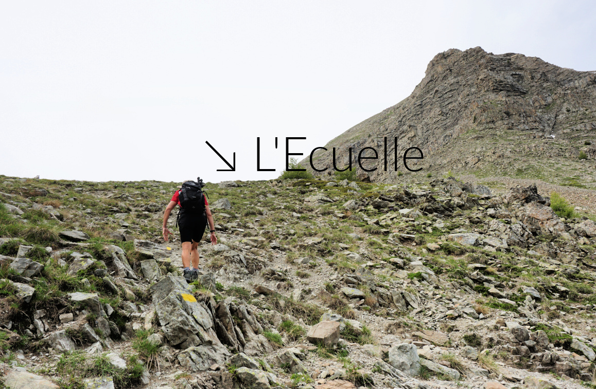
We started from the upper parking at Vars les Claux (1920 m) and climbed along the upper trail in a larch forest towards Col de Vars. At about 2100 m elev. we reached a large meadow where we forked right, climbed to a signpost showing “Les Myrtilles” to the left. We, however, forked again right and dove back into the larch woods. The trail circled a small unnamed peak 180° almost horizontally and came to a crossroads (Trail from les Escondus) where we forked left, crossed a stream and climbed to Combe Froide. There were patches of snow here and there. Marmots, spring flowers and complete tranquillity! The final push to L’Ecuelle Col (2420 m) was fairly steep. The col was the highest point of this hike. It was a warm but very windy day, and we descended a bit for our picnic. In the beginning, the southern side of the col was steep as well.

Eyssina massif
Eyssina massif
Combe Froide near L'Ecuelle
Northern flank of L'Ecuelle
Trail near L'Ecuelle
Descent from L'Ecuelle

We descended further and came to the lower Vars/Col de Vars trail near the Cabane de l’Ecuelle. We forked left (north), closed the loop and descended back to our starting point.


Climb: 510 m

Distance: 7,7 km

Duration: 3h 30

Map: 3538ET Aguille de Chambeyron Cols de Larche et de Vars

Ecuelle Vars hike track


How to jazz up Quinoa

Jazzed-up quinoa


 Cooked quinoa is a super healthy carbohydrate side to some simple meat or chicken and vegetables. But sometimes one wishes something a bit more adventurous than just cooked quinoa.

The following herb- olive oil- cherry tomato mixture can be added to still warm cooked quinoa making it much more interesting, like a warm quinoa tabbouleh.

2 servings

100 ml quinoa, pref. a mixture of white, red, and black quinoa

About 300 ml water

3 tbsp. tasty olive oil

A handful of chopped fresh herbs 

2 tbsp. sliced black olives

About 10- 12 cherry tomatoes, cut into smallish pieces

A dash of pressed garlic

Freshly ground black pepper


Cook the quinoa for 20 minutes. Then set aside and cover for 5 minutes.


Meanwhile wash and chop the herbs. Add to a bowl with the black olives, olive oil, garlic, and cherry tomatoes. Grind over some black pepper and mix.


Fold this mixture into the cooked warm quinoa. In the photo, it is served with a roasted turkey escalope and steamed green beans.


Ubaye Valley: Col de Mary


Near Col de Mary

On our first ever visit to Maljasset, in the Ubaye River Valley at the end of the D25 road, we wanted to explore the trail to Col de Mary (2640 m) on the Italian border. Combined with the Col de Marinet and a loop via the Marinet lakes, the hike is considered one of the classics in the region.

Crossing Ubaye River
Ubaye River Maljasset
GRP trail above Maljasset
Steep section of GRP to Col de Mary
Easy stream crossing on GRP

It was early in the season with snow still present at altitude. Combined with heavy downpours in the recent days, some sections were fairly wet and there was a lot of water in small streams.

On the day of our hike, we woke up with clear skies but showers and thunderstorm activity were forecasted for the afternoon.

We drove to the very end of the D25 road, passed the hamlet of Maljasset and parked near the Chapel of Maurin. 


Peaks west of Ubaye Valley
Crossing torrent Mary Valley
Midway to Col de Mary
Higher in Mary Valley
Col de Mary 2640 m
Col de Mary 2640 m


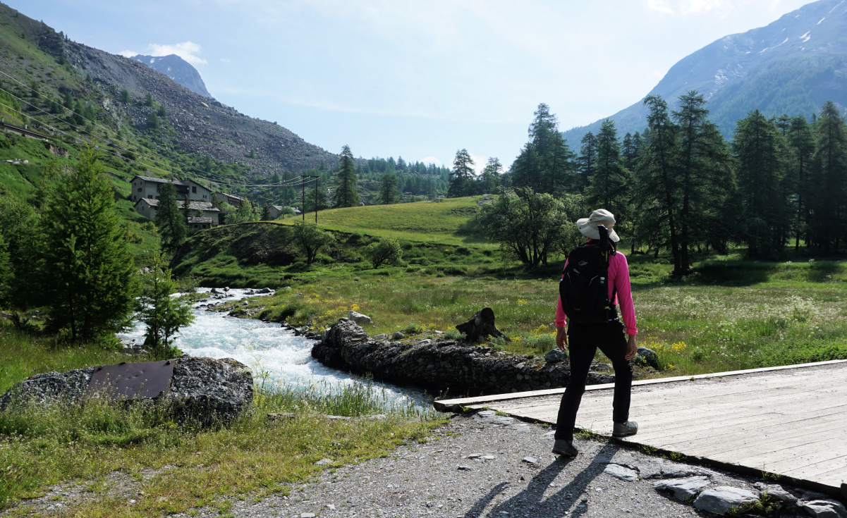
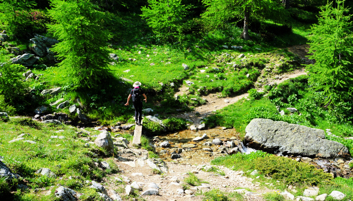
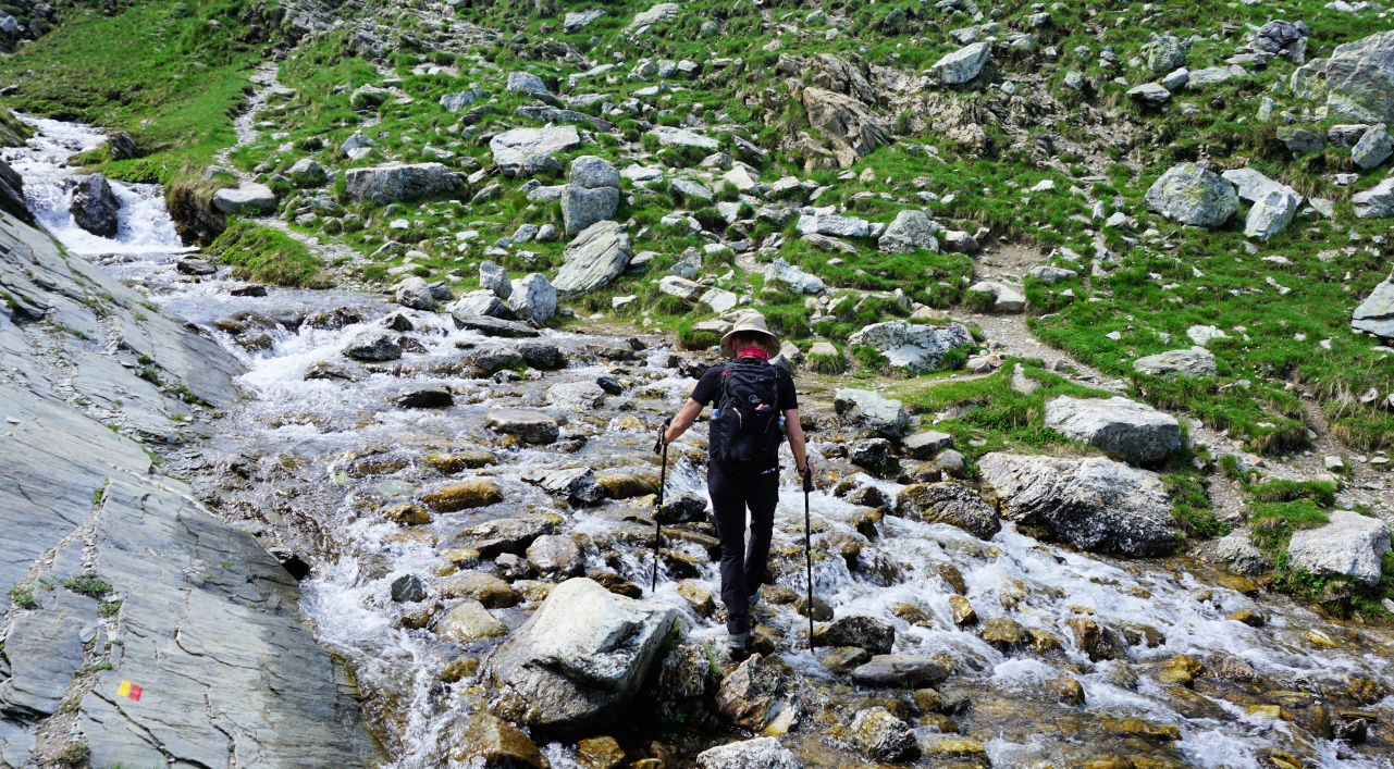
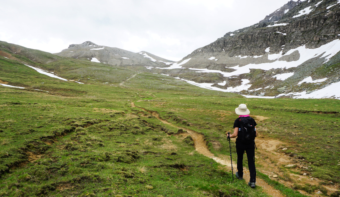
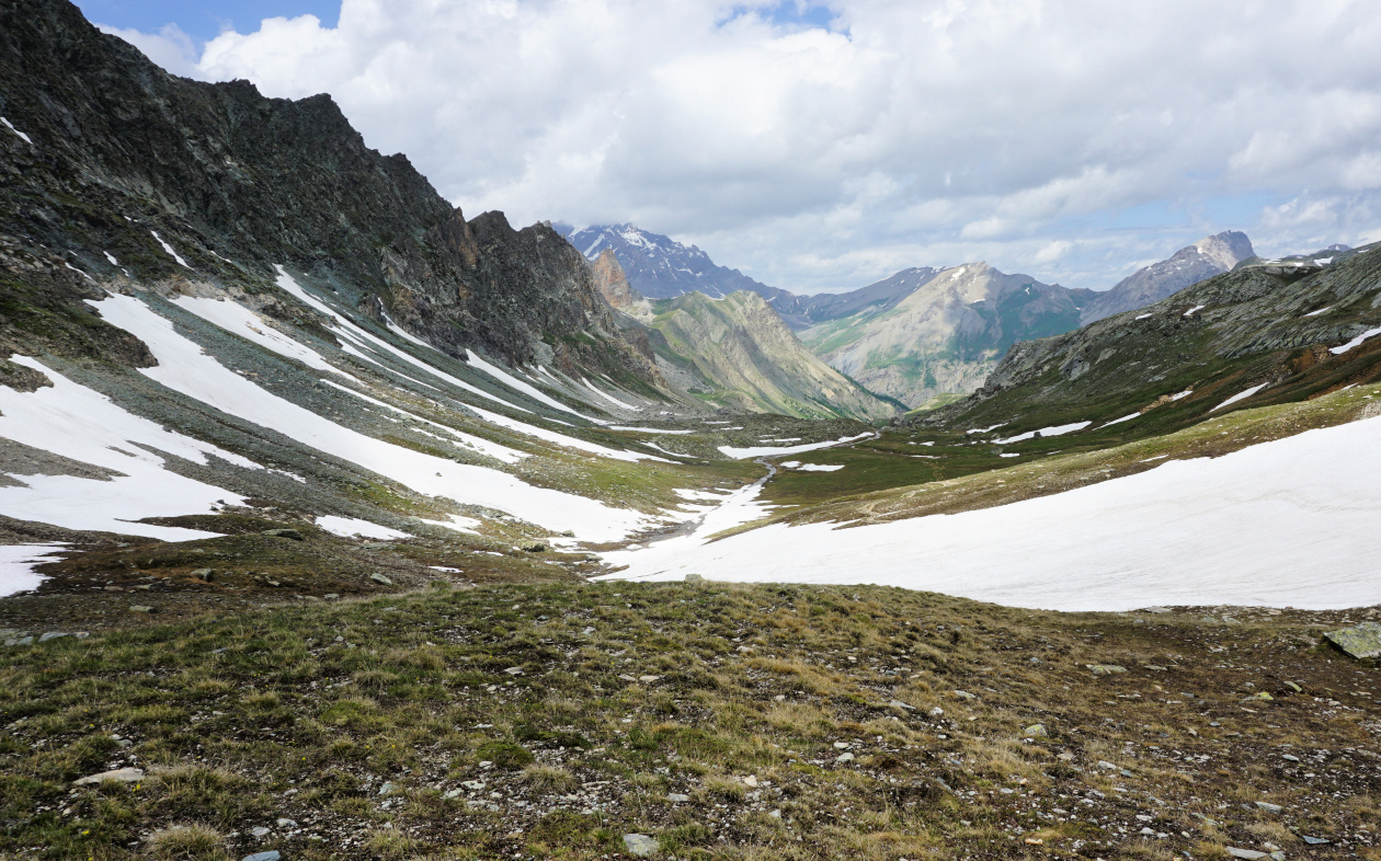
The trail to Col de Mary is a GRP de pays itinerary, marked yellow/red. We descended to the Ubaye river, crossed it along a wood bridge and continued in a larch forest which gradually gave way to alpine meadows. We passed a sign to an ancient marble quarry and soon a shepherd’s hut (Bergerie inférieur de Mary) on our left-hand side. Gaining altitude, we came to a crossroads near another hut (Bergerie supérieure de Mary). The stream Torrent de Mary was impossible to cross at this point as the signs indicated. The trail to/from the Marinet lakes and the Col Marinet was across the torrent as well. We continued on the same side of the stream, and found a crossing point higher up.

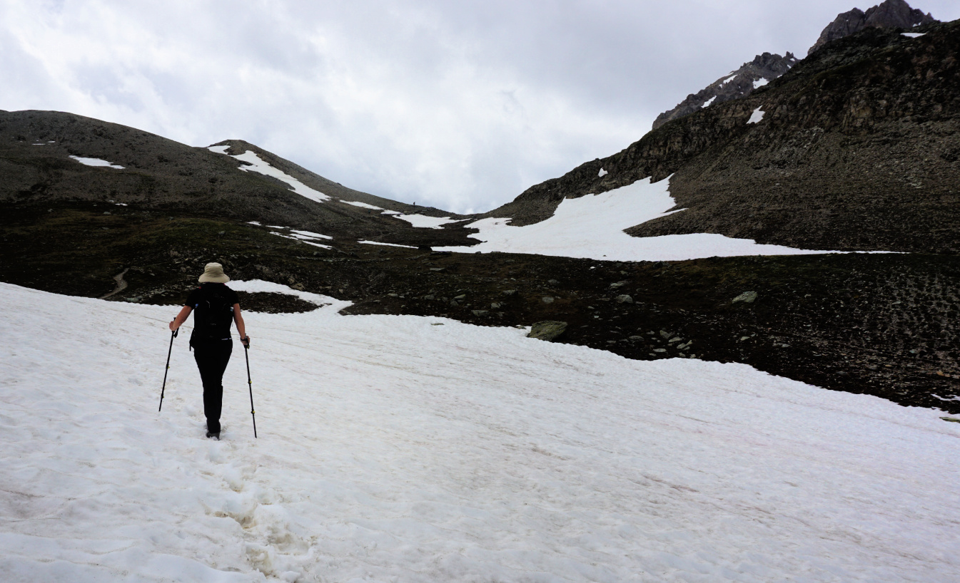
There were large snow-covered areas to be crossed as we approached the mountain pass. The GRP trail continued to Italy, connecting with a network of itineraries back to France. The rocky trail to the Marinet Pass (147 m climb; 30 min) forked right. The allegedly Europe’s highest mailbox was placed on the col, a relic from the 19th century. Due to gathering clouds and above all impossible torrent crossing from the Marinet lakes, we decided to return along the same trail. 


Climb: 740 m

Distance: 14 km

Duration: 5h 30

Map: 3538ET Aguille de Chambeyron


Upper Mary Valley
Upper Mary Valley


Col de Mary track
Col de Mary track

Spinach and pea frittata


Spinach and pea frittata

Frittata is the Italian variant of the French omelette. It is usually cooked over a low heat until the underside is set but the top is still runny. It is then quickly grilled to set the top layer.

Frittata can be simply cooked in the oven, 180° C roast for about 25 minutes, until the eggs are set. This is my preferred effortless way of cooking frittata. All you need is a good, heavy non-stick oven-proof dish!

2 servings

2 handfuls of baby spinach leaves

1 small onion, thinly sliced

A handful of frozen peas

1 clove garlic, minced

4 large eggs

Olive oil

Freshly ground black pepper


Preheat the oven to 180° C roast.


Warm 1 tbsp. olive oil in a frying pan over medium heat and cook the onion and garlic for about 3 minutes until softened. Add the spinach and frozen peas and cook for 2- 3 minutes until the spinach is wilted and until any moisture released by the spinach has evaporated.


Lightly oil a non-stick oven-proof dish with olive oil. Place the vegetables evenly in the bottom of the dish. In a bowl, beat the eggs with some black pepper. Pour over the vegetables and transfer the dish to the oven. Cook for about 25 minutes until the eggs are set.


Serve with a green side salad and some good whole wheat bread for a balanced light lunch.


"Shorter" loop above Tourrettes-sur-Loup


Descending from Pic de Courmettes

The following hike is basically a bit shorter variant of the previously posted long walk which started from the village (400 m) and included both summits. 

We drove up to le Caïre and parked by the narrow Route du Caïre at about 760 m elev. about 500 m before the auberge as they understandably don’t want their property to be used by hikers.

Route du Caïre is narrow, steep and potholed but negotiable with a normal car. Starting higher up meant over 300 m less climbing on a day when once again thunderstorm activity was forecasted in the afternoon. 

Near le Caire
Near le Caire
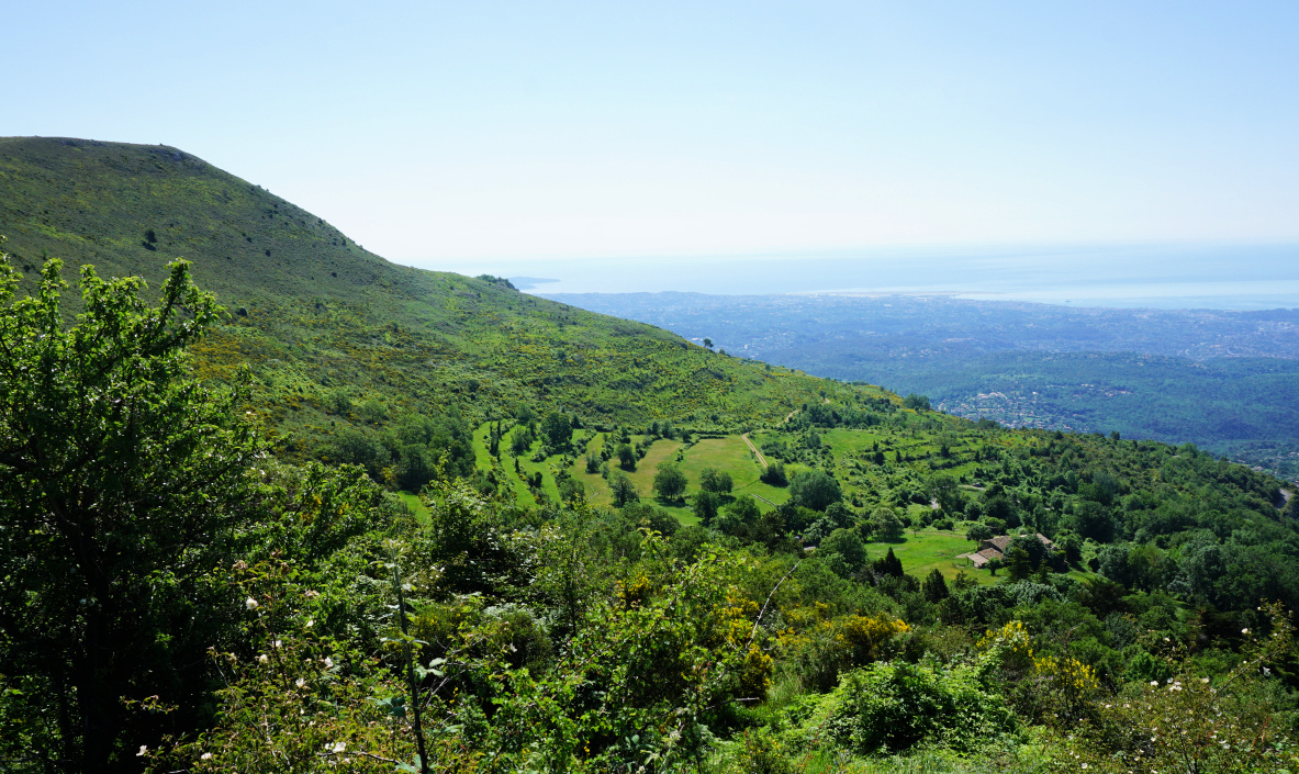
Early summer greenery above the Riviera
Early summer greenery above the Riviera 
Above le Caire
Above le Caire
Puy de Naouri
Puy de Naouri

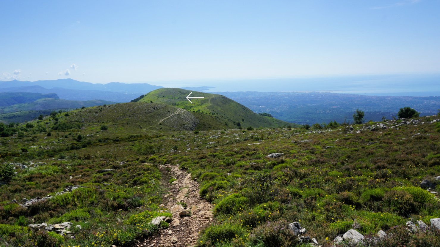
We passed the properties in le Caïre and climbed along the familiar trail to la Baïsse and signpost #176 where we forked west. The trail is not in the hiking maps but nevertheless clear and we followed it to Puy De Tourrettes (1268 m) vast summit plateau. Another well visible but unmarked trail forked left, southwest, and we descended along it to the saddle between the two summits. 

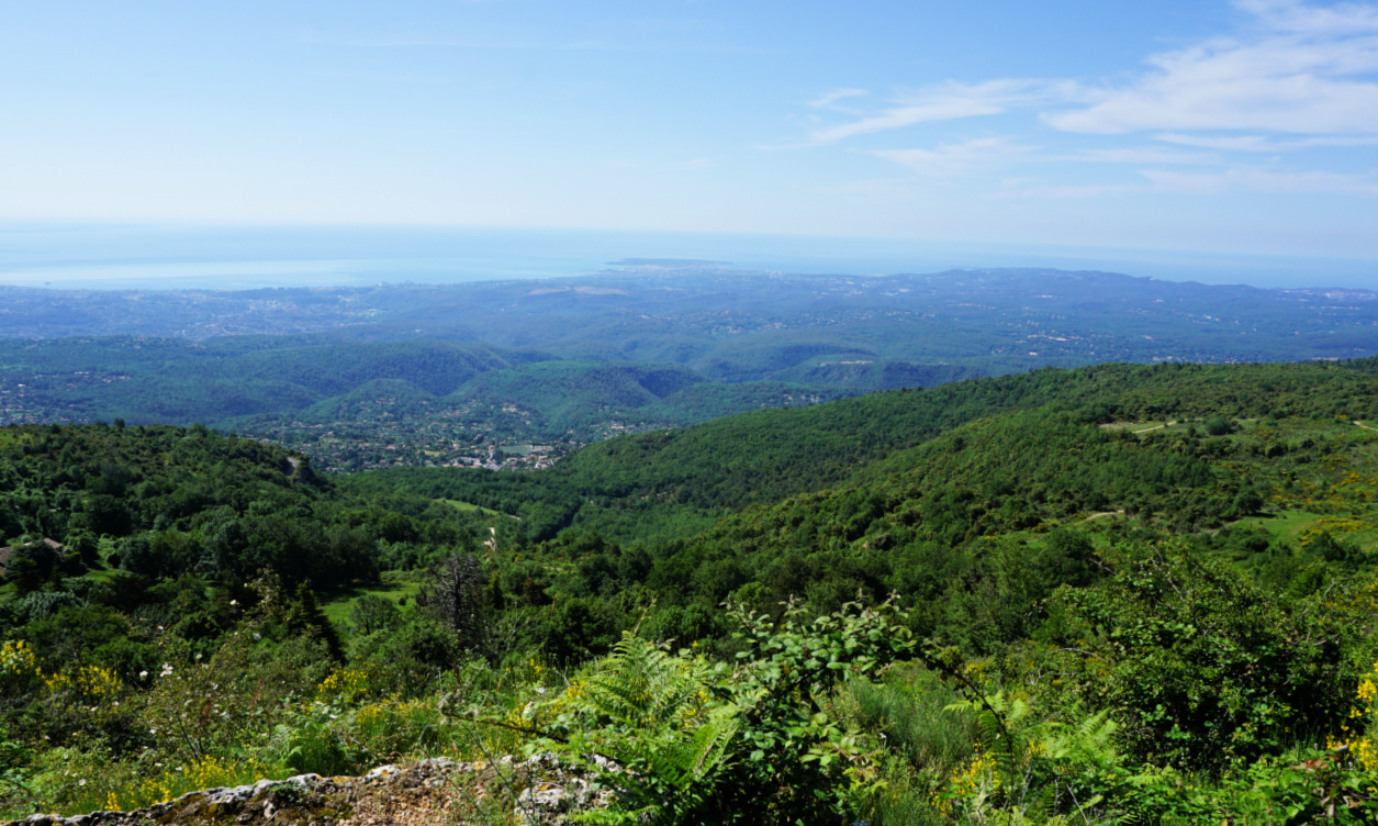
The first part of the ascent to Cime de Courmettes ran in the woods, again along an unmarked but well visible trail. There were in fact a few trails, and we used the one nearest the precipitous western flank before reaching the summit (1248 m) with impressive views, notably to the coastline about 14 km away.


Towards Puy de Tourrettes
Trail to Courmettes well visible
Courmes
Courmes
Near Pic de Courmettes summit
Pic de Courmettes
Pic de Courmettes

We descended straight south, now along the familiar yellow-marked trail to signpost #187 near the Domaine de Courmettes, forked left and followed the dirt track back to le Caïre. Light rain started before we reached our car, and we could read later that heavy hailstorms had hit the Grasse region only a bit later the same afternoon. 


Current loop:         Longer variant: 
Distance: 11,6 km                    16 km
Climb: 680 m         ~1000 m
Duration: 4h 30 5h 30 active


Tourrettes and Courmettes loop track


Spring stew of veal


Spring stew of veal


2 servings

About 350- 400 g lean veal, cut into cubes

2 baby fennels, cut into quarters

1 small onion, roughly chopped

1 clove garlic, minced

Olive oil

150 ml chicken stock

150 ml white wine

1 tsp. Provençal herbs

Freshly ground black pepper

Juice and zest of ½ organic lemon

Chopped fresh herbs, such as thyme, parsley or basil


Warm 2 tbsp. olive oil in a heavy cast-iron frying pan over high heat. Fry the veal cubes in batches and remove from the pan to a plate with a slotted spoon.


Warm 1 tbsp. olive oil in a heavy sauté pan, such as Le Creuset. Sauté the fennel, onion, and garlic for about 10 minutes.


Preheat the oven to 200° C, roast.


Add the veal, wine, stock, and lemon juice to Le Creuset and bring to a boil. Transfer to oven and cook for 30 minutes, stirring once.


Serve the stew with cooked quinoa or new potatoes. Decorate with lemon zest and chopped herbs.


Moulinet: Cime de Linière


Cime de Linière summit


Cime de Linière (1368 m) situated 2,5 km southwest of the summit of Mangiabo (1821 m) can be reached from the village of Moulinet (800 m) in the Bévéra River Valley. East of Bévéra, the verdant and steep mountain flanks are mostly forest covered. At Moulinet, the western border of the Mercantour National Park follows the river.

Moulinet village
Moulinet village
Leaving signpost#20
Leaving signpost#20
Crossing Bévéra
Crossing Bévéra

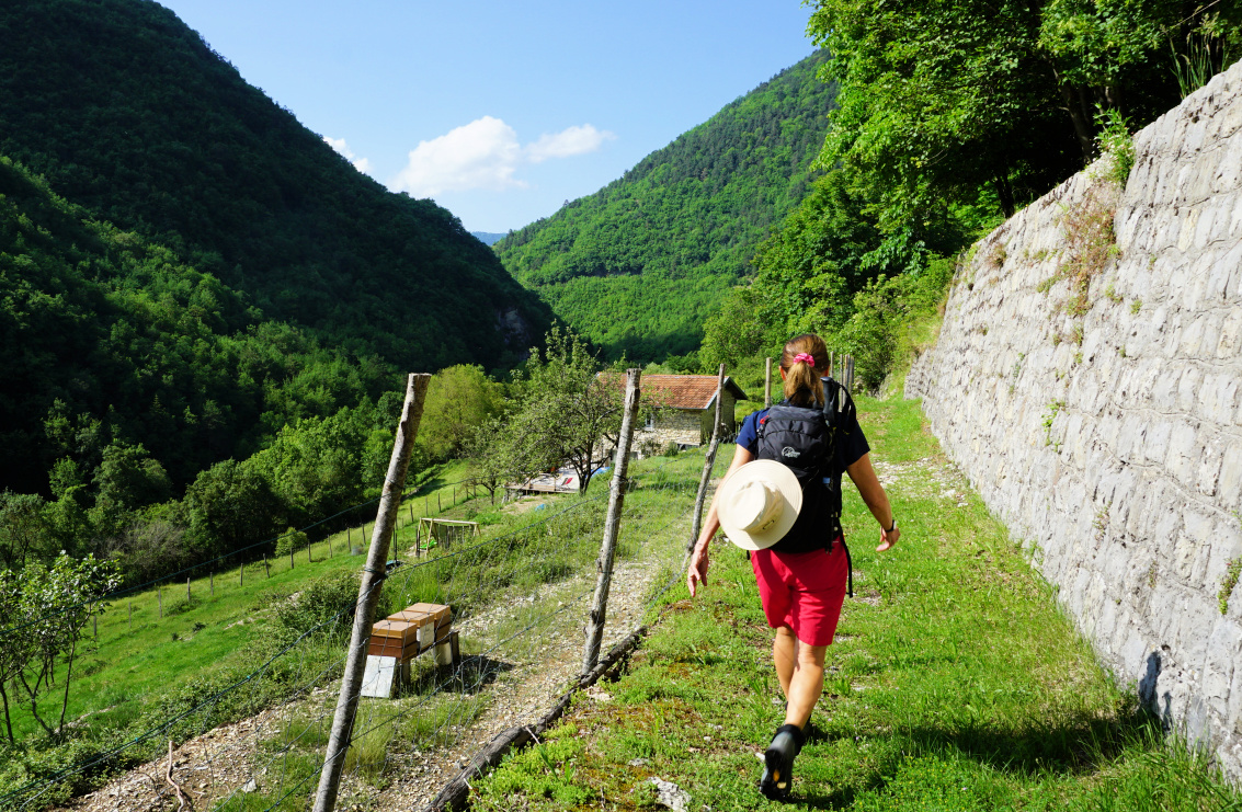
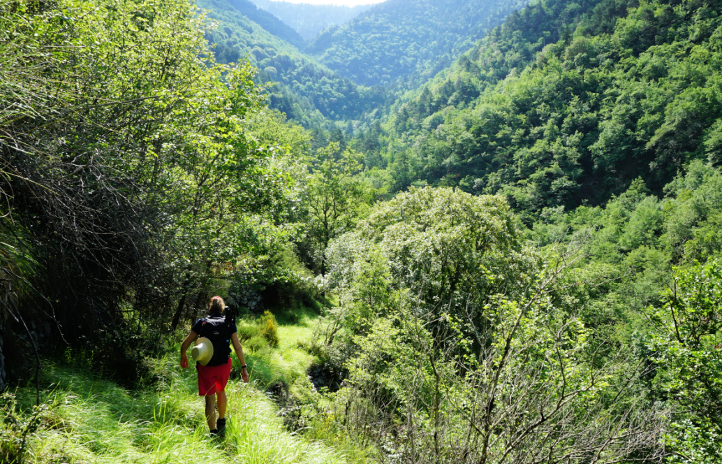
From the village square with limited parking, we walked about 400 m along the D2566 road to signpost #20. We passed some properties and a chapel, and entered the Mercantour Park. We descended to a bridge crossing the Bévéra and followed its tributary named Gouargas to signpost #21 where we forked left, passed a solitary house (Sapetta on the map). We continued to the east, and started to ascend along a narrow trail to l’Avenquet where we passed ruins of ancient dwellings. We were off the beaten track; only wild boars had been digging the path. 


Trail after Sapetta
Trail after Sapetta
Bévéra Valley
Bévéra Valley
Crossroads #24 above Moulinet

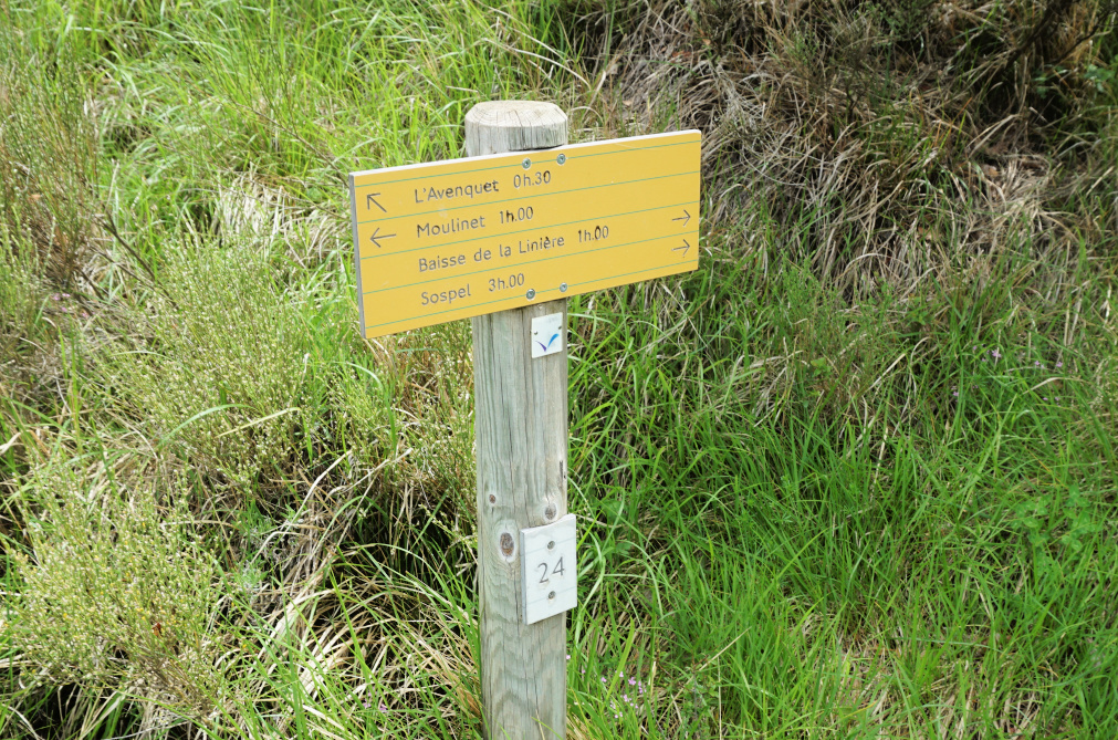
We crossed another stream, turned almost 180°, and headed west to signpost #24 where we made another 180° turn and climbed to Baisse de Linière (1345 m). 

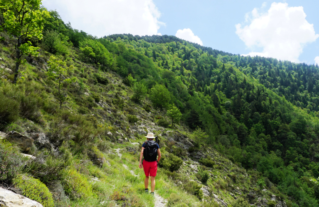
The path to the nearby summit was not marked and hidden under the grass at the clearing but soon became visible in the woods. From the rather flat mountain top we had best views to the south with the coastal peaks between Sospel and Menton visible in spite of the passing afternoon thunderstorms. There was a shepherd’s shelter in bad shape. Not one of the most impressive summits, but nevertheless worth a visit and above all a good springtime exercise!

We descended back to signpost #24 where we took the shorter and more frequently used path back to Moulinet.


Towards Baisse de Linière
Near Baisse de Linière

Climb: 790 m

Distance: 13,8 km   

Duration: 5h 40

Map: IGN 3841 OT


Cime de Linière hike track


Red mullet with black olives and spinach


Red mullet with black olives and spinach

Red mullet, rouget, is often sold as fillets in Nice. It is a tasty and colourful fish which can be prepared quickly. Red mullet fillets make a delightful light lunch with sautéed spinach and some whole wheat or rye bread.

2 servings

About 250 g red mullet, rouget, fillets

Olive oil

2 tbsp. sliced black olives

2 blocks of frozen spinach leaves

3 tbsp. pine nuts

1 spring onion, sliced


Warm 2 tbsp. olive oil in a frying pan over medium heat and sauté the frozen spinach blocks on both sides until defrosted and all the liquid has evaporated. Add the pine nuts, stir and let simmer for a few minutes.


Meanwhile warm 1 tbsp. olive oil in a non-stick frying pan over medium heat. Sauté the mullet fillets for about 4 minutes on both sides if they are large. If they are very small, sauté them on the skin side only for about 5 minutes. The fish is done when it is opaque.


Divide the spinach on the plates and decorate with spring onion slices. Place the red mullet fillets on the plates and sprinkle with the olive slices. Serve with lemon wedges, a side salad, and some good bread for a balanced lunch.