Castellaras de la Malle hike
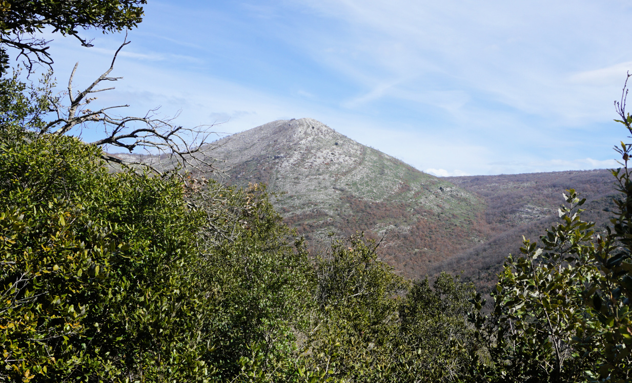
The prehistoric ruins of Castellaras de la Malle dating from the iron age are located at about 1200 m elevation about 6 km north of Grasse and 3 km east of Saint-Vallier-de-Thiey as the crow flies.
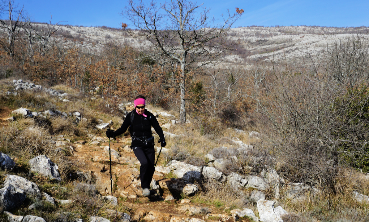
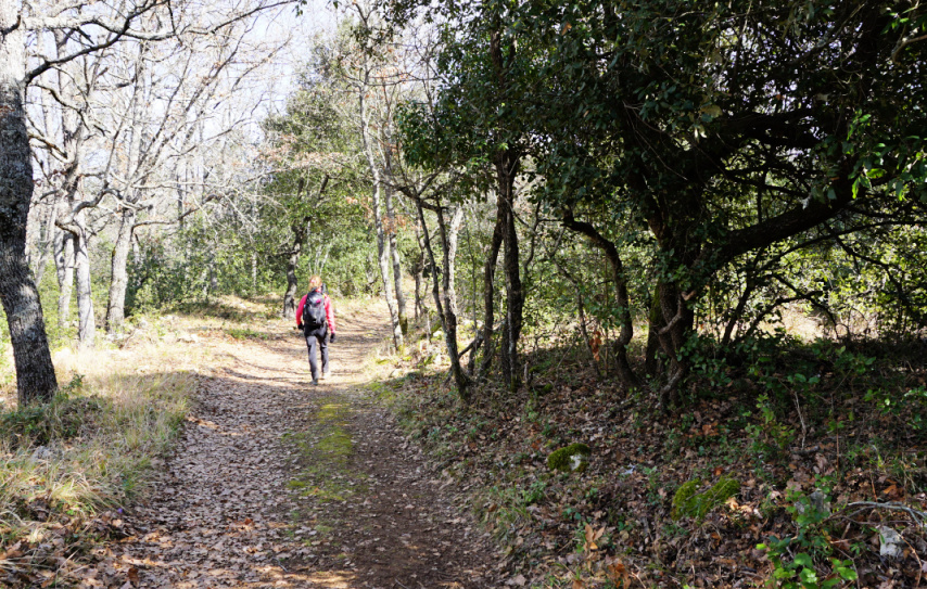
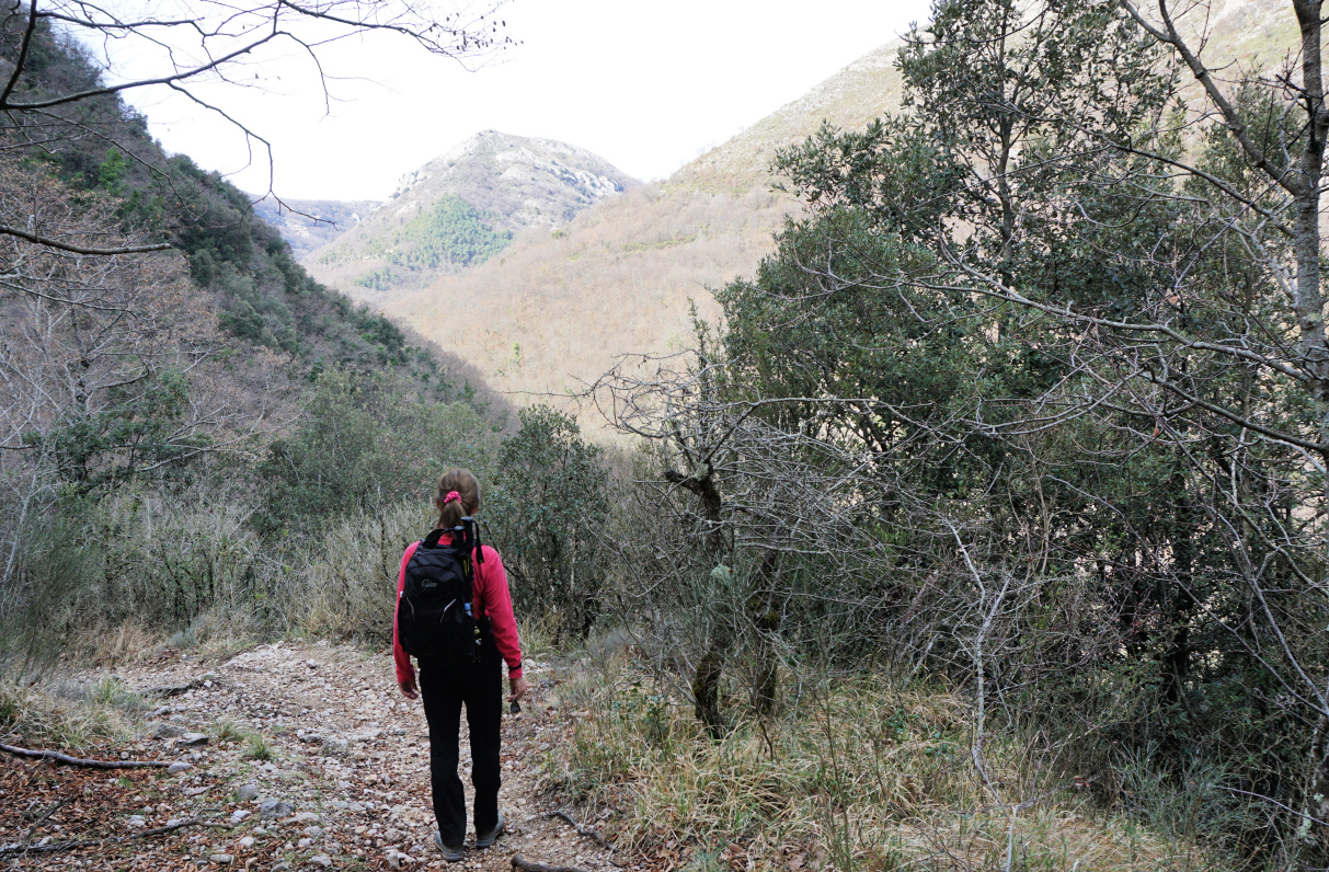
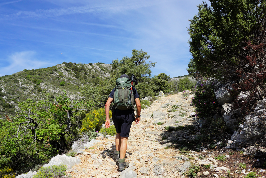
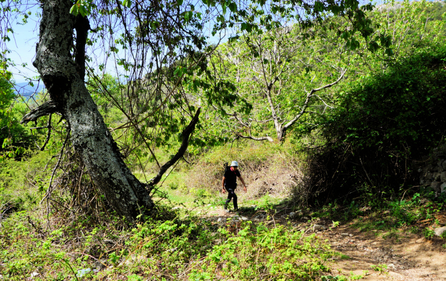
The site can be reached by a good hiking trail from Col du Pilon (783 m) by the 6085 road. We used the spacious parking 100 m before the col. From the parking, we took a shortcut directly to the trail. It was initially a wide dirt track, then a good albeit rocky path marked with yellow. We first ascended in the woods which protected us from the spring sun. Higher up, there were more open stretches. We reached signpost #57, and passed ruins of an old stone dwelling. The itinerary was well marked.
 |
| Departing from Col du Pilon |
 |
| Towards signpost 57 |
 |
| Above signpost 57 |
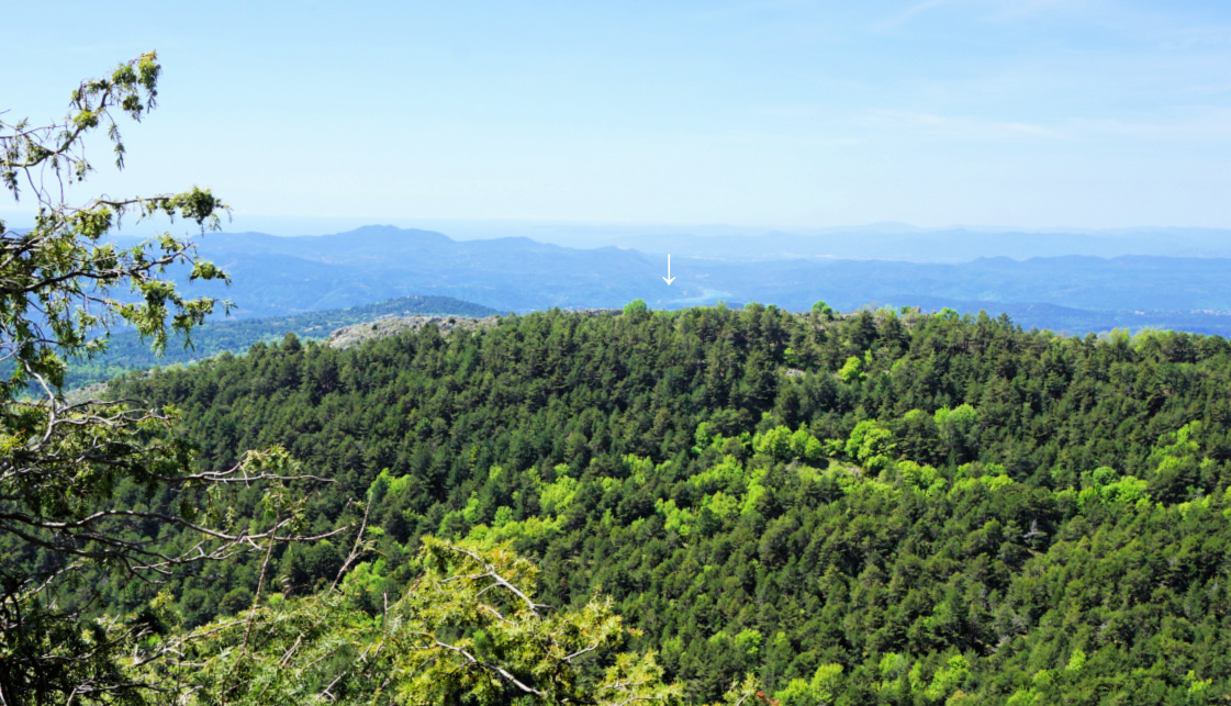 |
| Saint-Cassien Lake seen from trail |
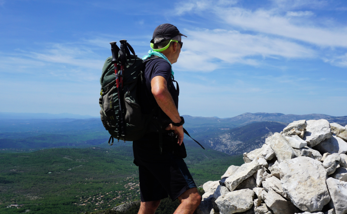
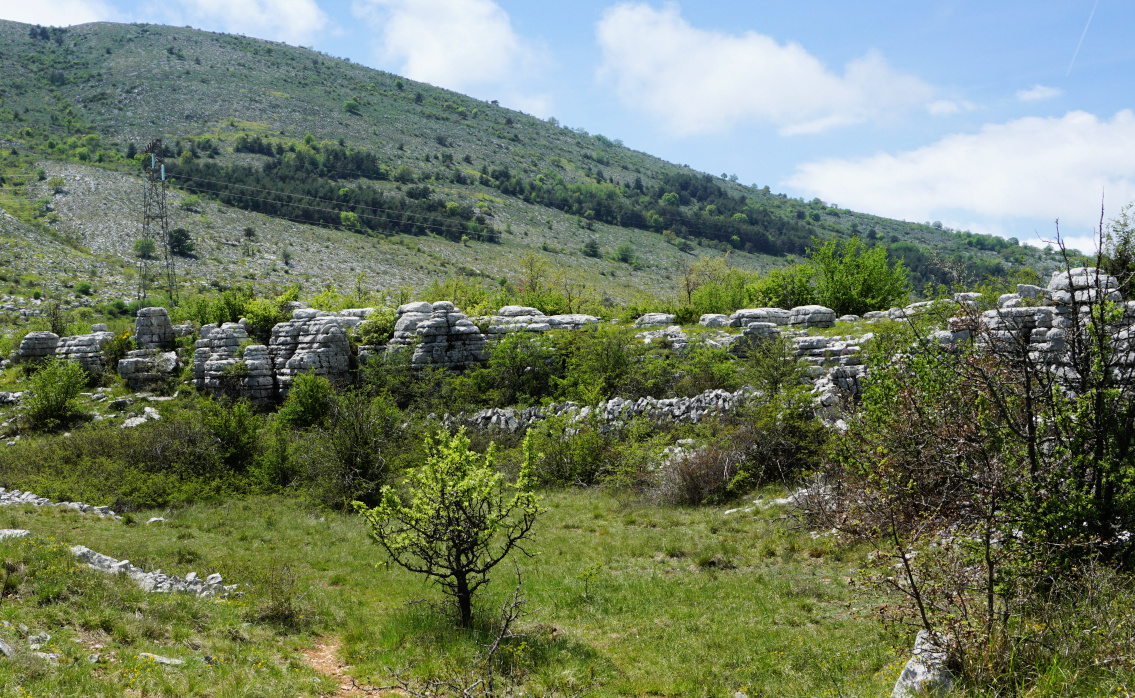
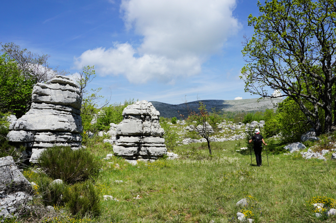
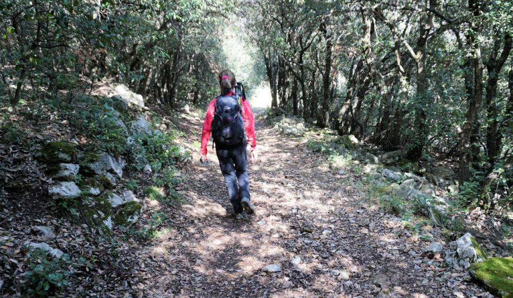
At signpost #58, we forked right and headed east. The trail now ascended gently in a pine wood. We reached #58a, turned straight south and climbed up to the ruins nesting on a ridge and overlooking plateau de la Malle. The views were spectacular, and we climbed to the nearby la Colle (1234 m).
At the site, there was no information about the history, age etc. of the fortification, so basically there were just the ruins to view, surrounded by the beautiful spring landscape of the Côte d’Azur Prealps.
We hiked back to our starting point along the same trail. It is possible to hike back following the ridge northwest of la Colle, then merge with the main trail just before signpost #58.
 |
| Wild orchids near Castellaras |
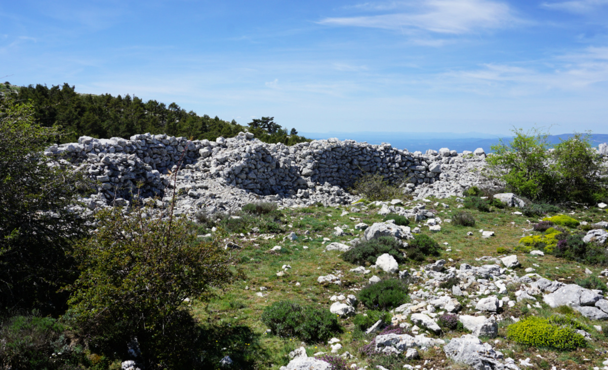 |
| Castellaras southwestern wall ruins |
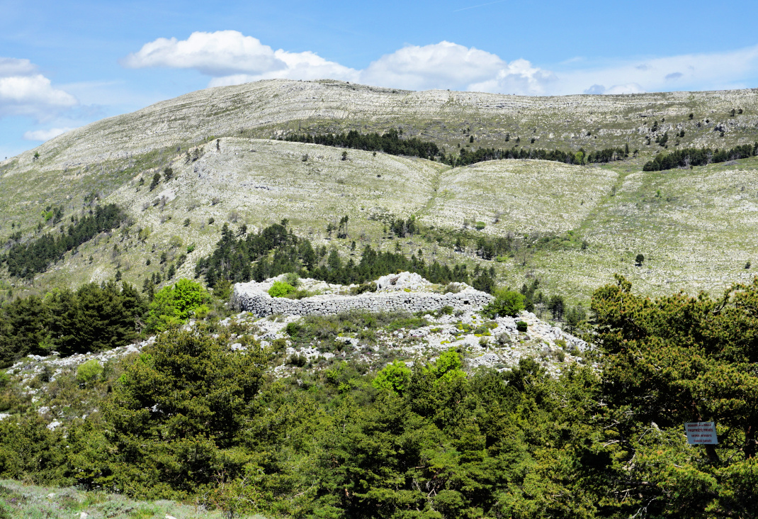 |
| Castellaras de la Malle |
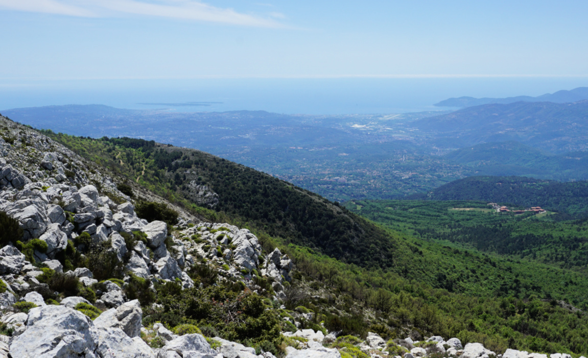 |
| Mandelieu coast from la Colle |
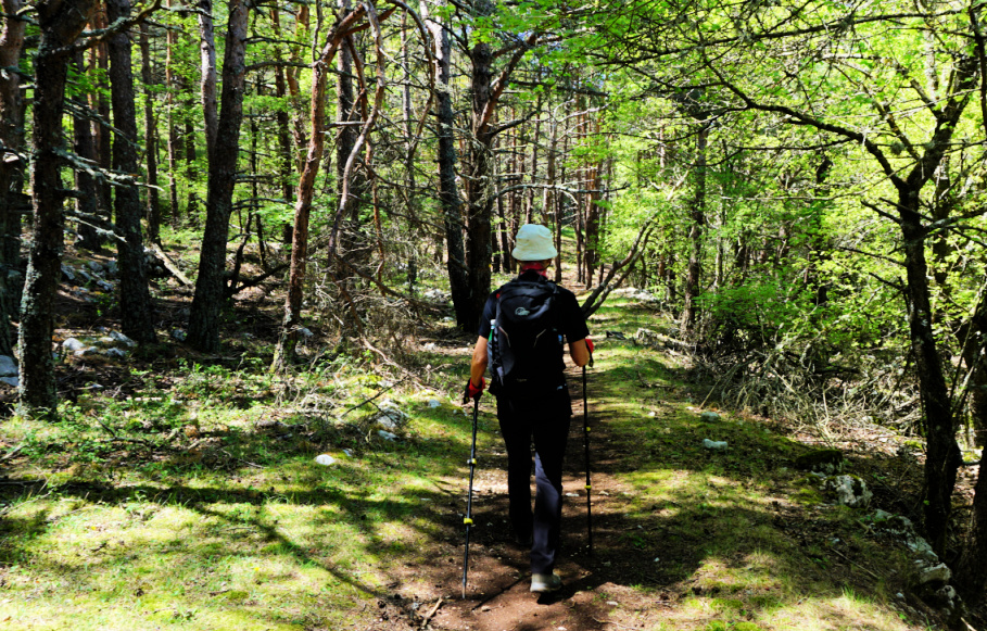 |
| Pine forest near Castellaras |
Distance: 8,8 km
Climb: 475 m
Duration: 3h 30
Map: 3543 ET « Haut Siagne »
 |
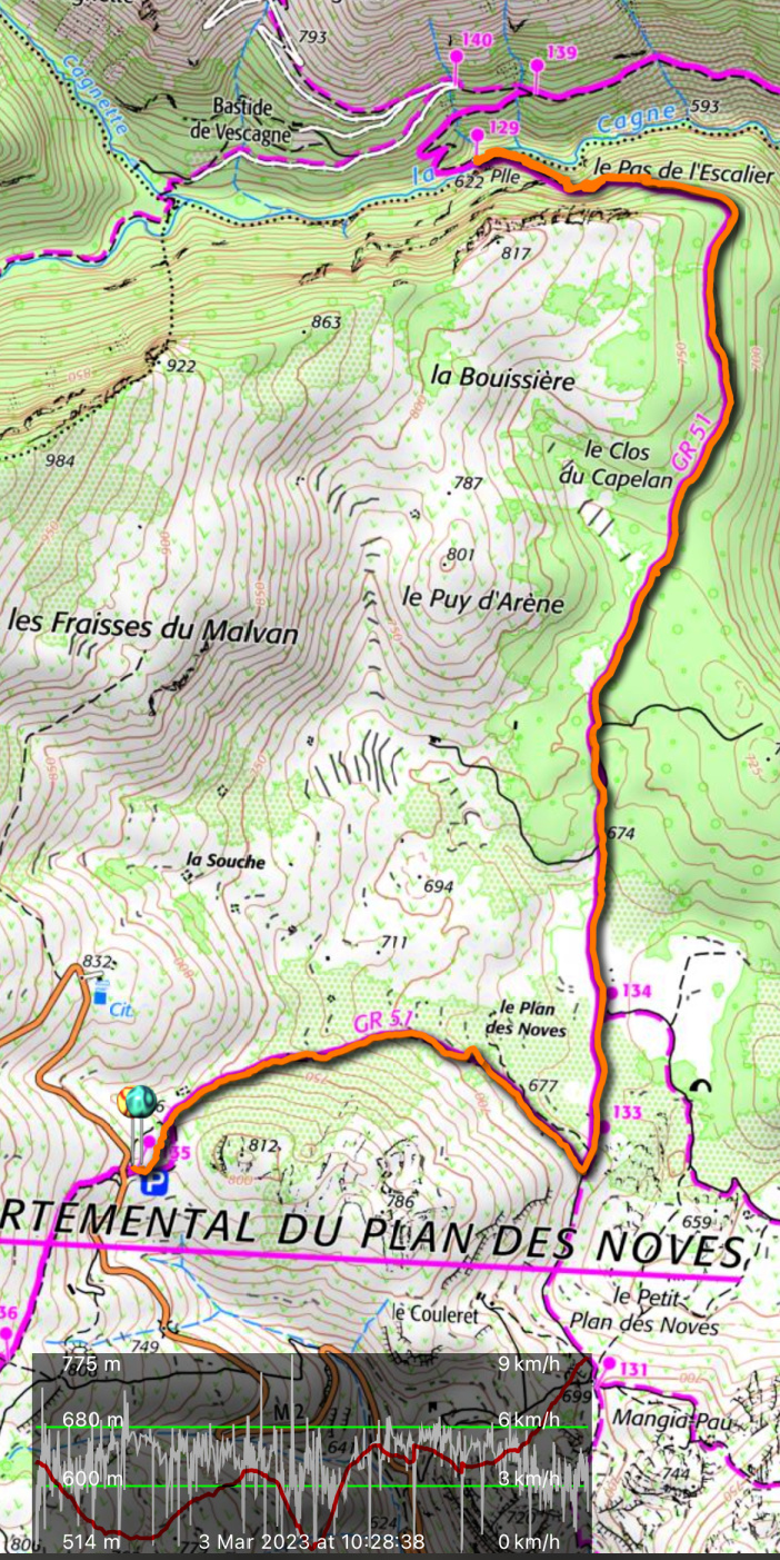
| Castellaras de la Malle hike trail |


