Caussols to Haut Montet
Today’s hike features an alternative itinerary to Haut Montet (1335 m) above Grasse. We have hiked there many times from the parking at about 1100 asl (Chemin des Claps) west of Gourdon. It is the shortest option, and very popular because of easy access.
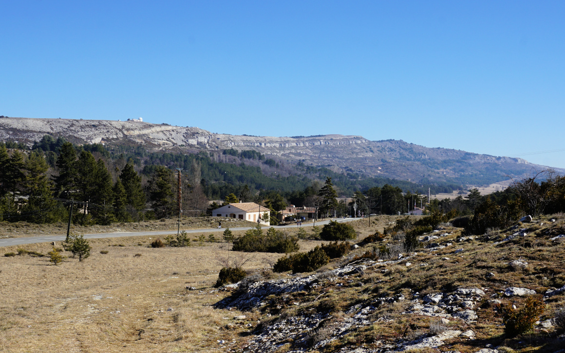 |
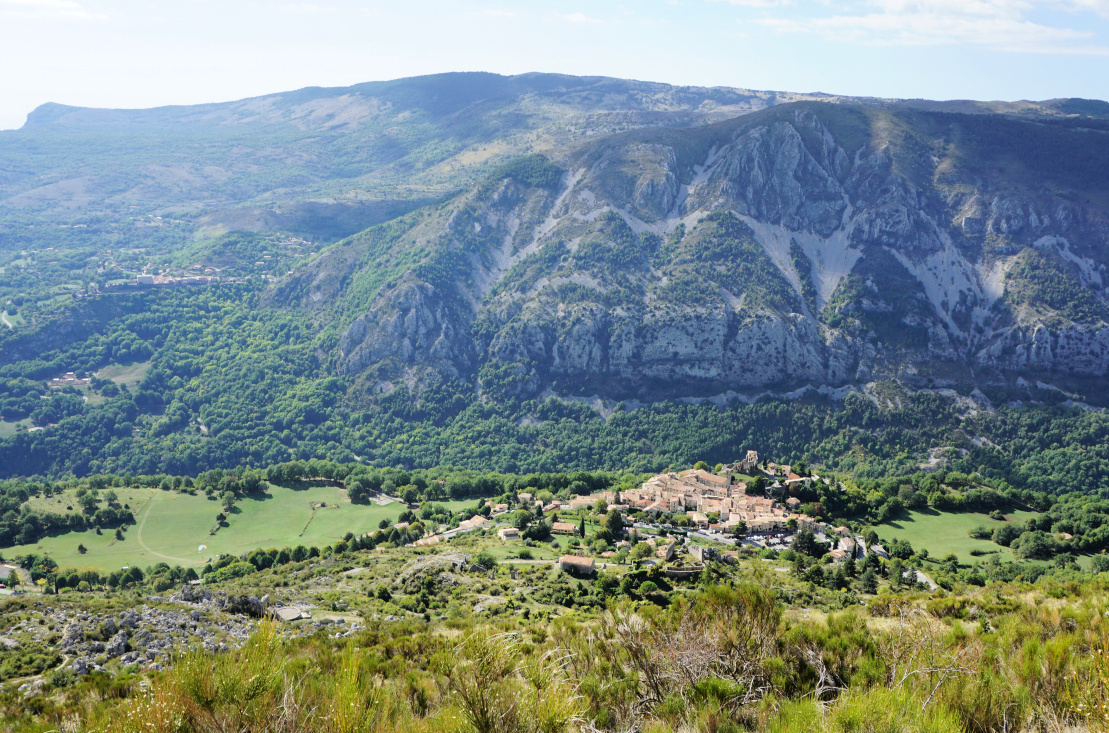
| Caussols Village |
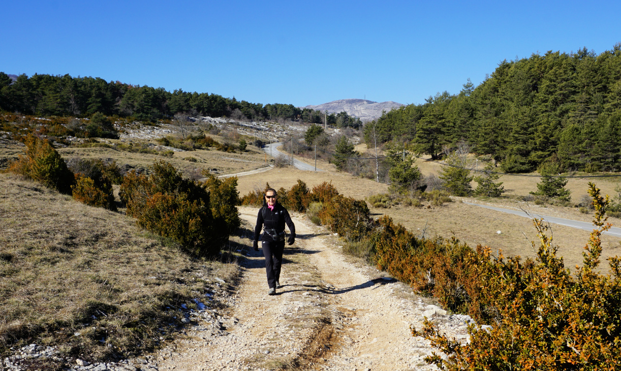 |
| GR4 from Caussols |
 |
| GR4 south of Caussols |
 |
| Ascent to Col du Clapier |
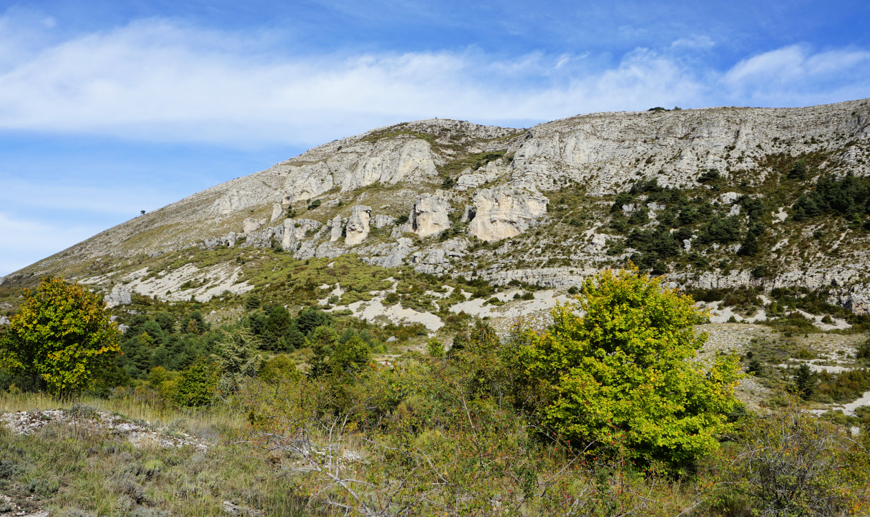
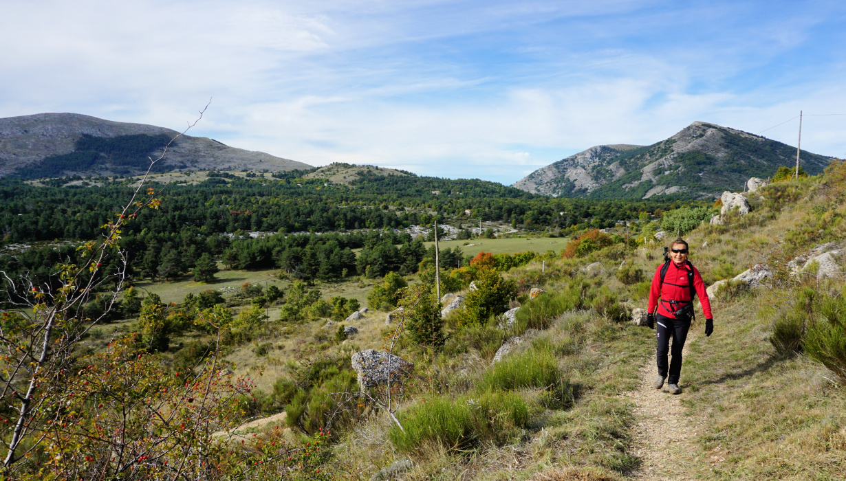
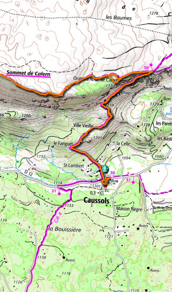
This time we wanted to explore the itinerary from the village of Caussols (1100 m) by the D12 road. We started along the GR 4 long distance trail which ran through the village. We followed the D12 road a few hundred meters to the west to signpost #31 where we forked left (south), following an excellent trail. Some stretches followed dirt or paved roads. The first 2,5 km or so were almost flat. We passed signpost #32, still heading south on the Caussols Plateau. About one km after #32 we started to climb, now heading southeast, to Col du Clapier (1257 m); signpost #35. There were snowy and icy patches here and there.
 |
| Near Col du Clapier |
 |
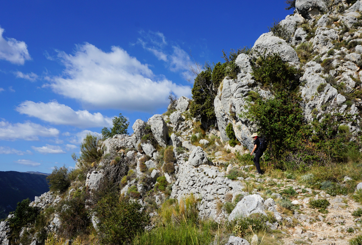
| Trail to Haut Montet from west |
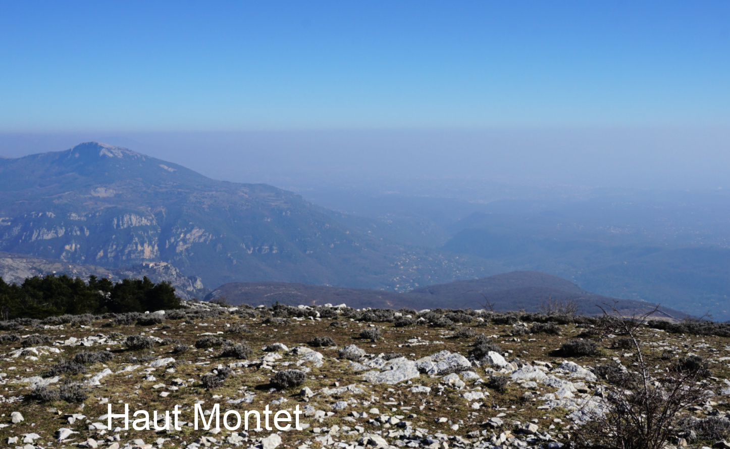 |
| Smog above the Riviera |
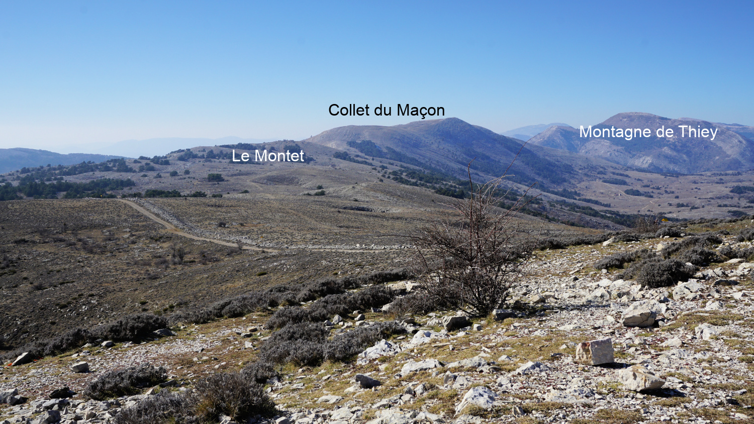 |
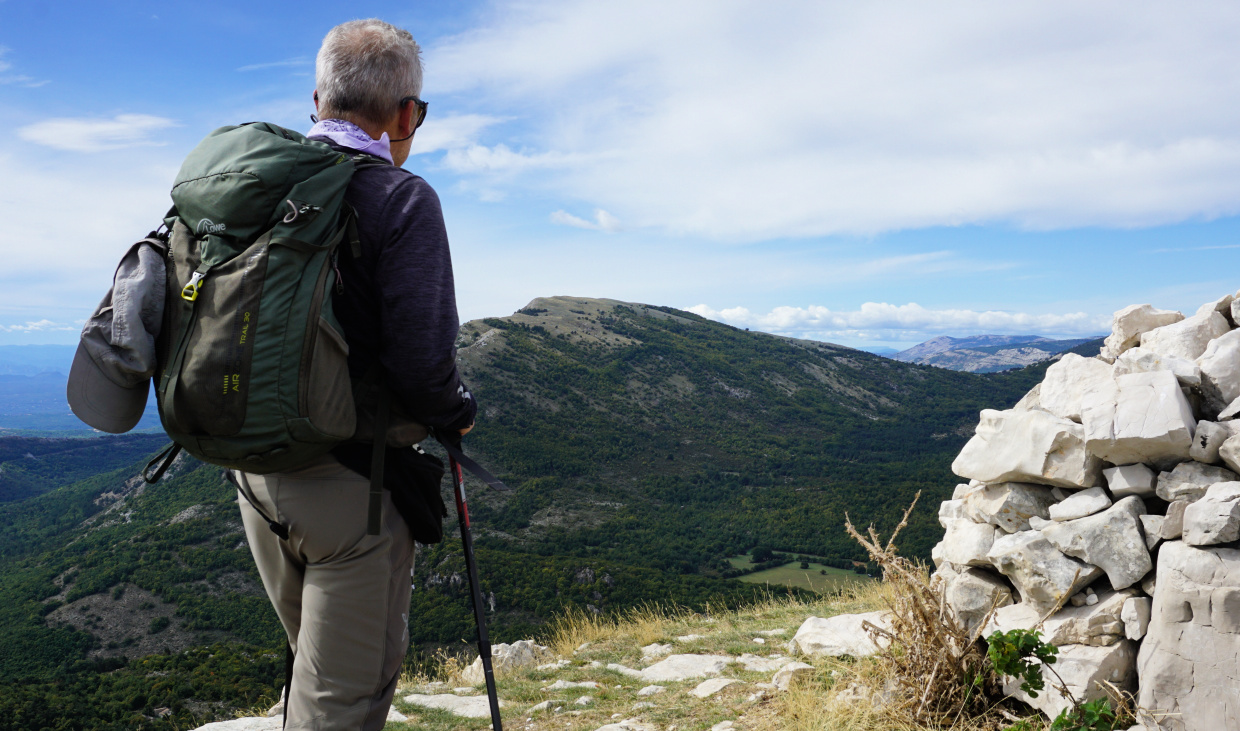
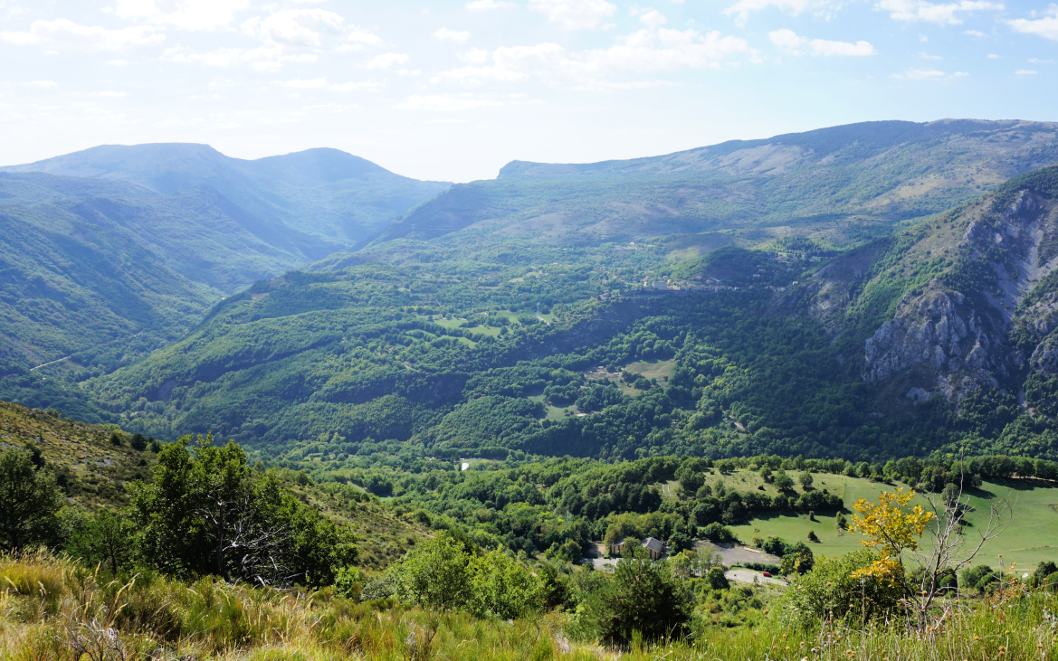
| View to west from Haut Montet |
The GR 4 trail continued south towards Grasse. We forked left towards Haut Montet, first passing a mountain top named le Montet (1311 m). The trail undulated in mostly open ground before merging with a dirt track about one km before Haut Montet. The civil aviation radar on the summit can be seen from many places on the coast.
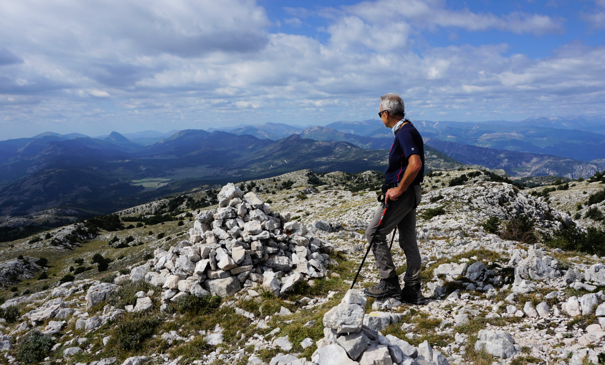
The winter day was cloudless, but haze and smog below us prevented any good views down to the coast whereas the Southern Alpine chain of peaks was well visible in the north.
We returned back to Caussols using the same trail.
Distance: 14,2 km
Climb: 420 m
Duration: 4h 20
Map: Haute Siagne 3543 ET
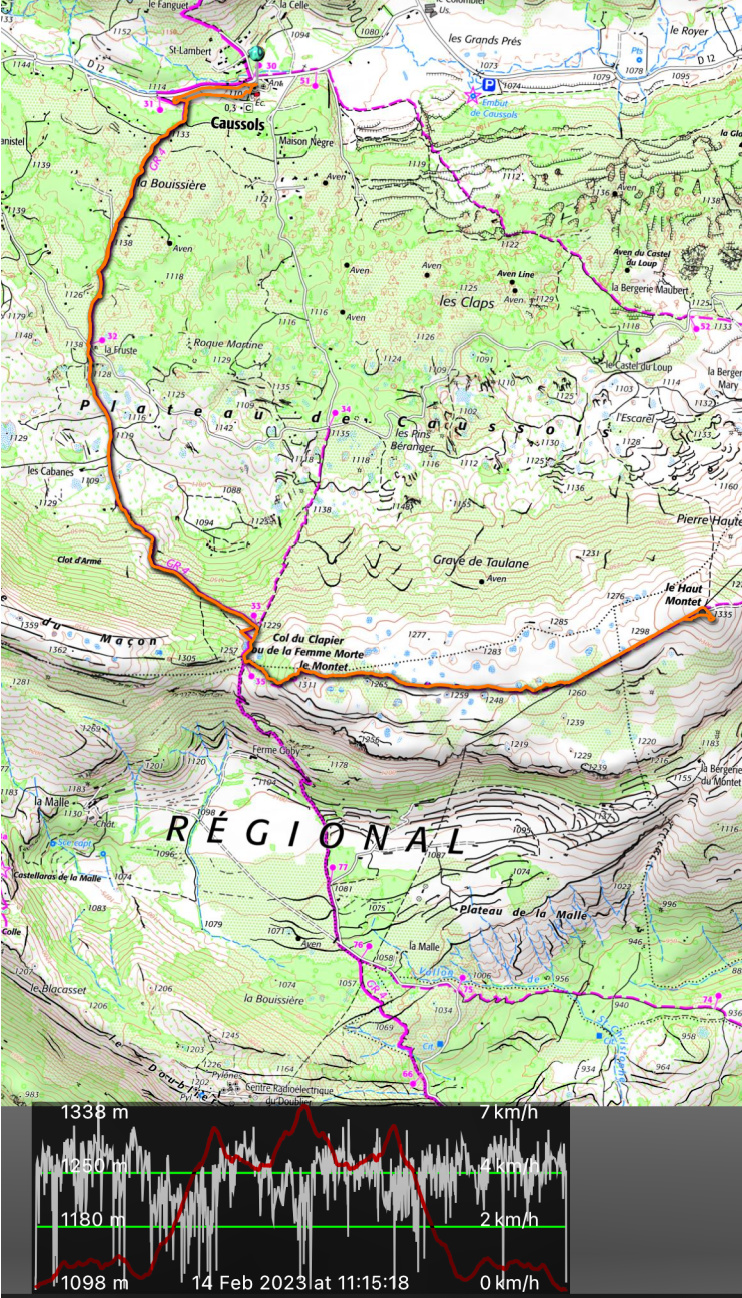 |
| Trail Caussols Haut Montet |


