We had previously hiked from Estenc to Col de Boucharde and Col de la Cayolle; it was an excellent loop in the upper Var River Valley. This time we wanted to explore the trail to Col de Sanguinière (2601 m), using the same starting point by the D2202 road just north of the hamlet of Estenc.
 |
| Trail start above Estenc |
 |
| Trail to Cabanes de Sanguinière |
 |
| Cabane de Sanguinière |
 |
| Above tree line to Col de Sanguinière |
 |
| Rocky trail near Col de Sanguinière |
 |
| Col de Sanguinière |
 |
| Col de Braïssa seen from Col de Sanguinière |
 |
| View south from Col de Sanguinière |
 |
| Descent from Col de Sanguinière |
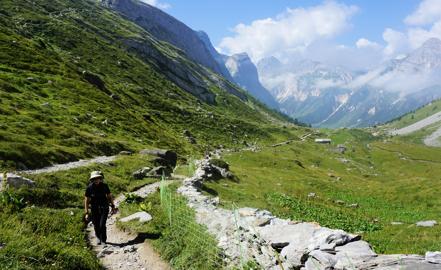
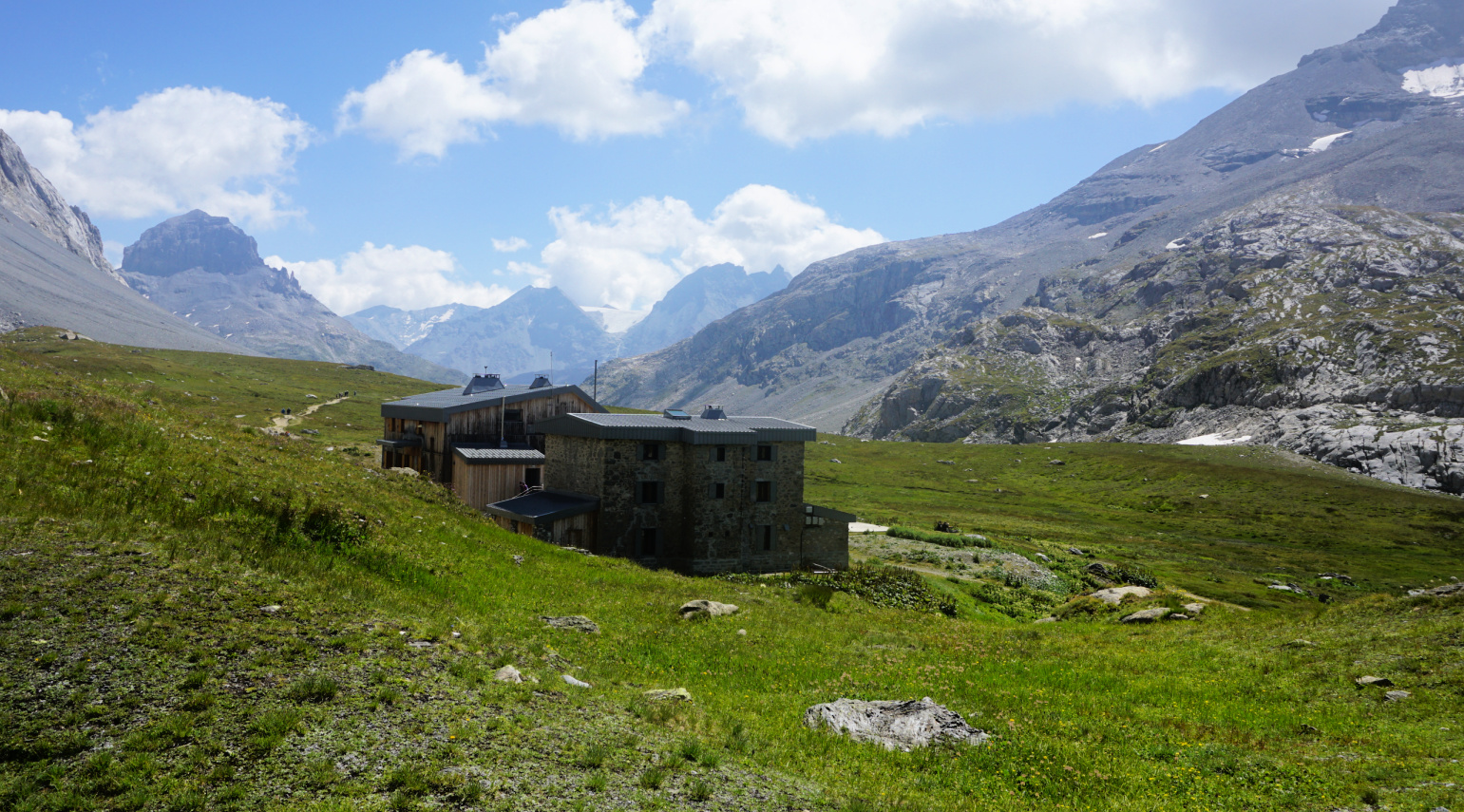
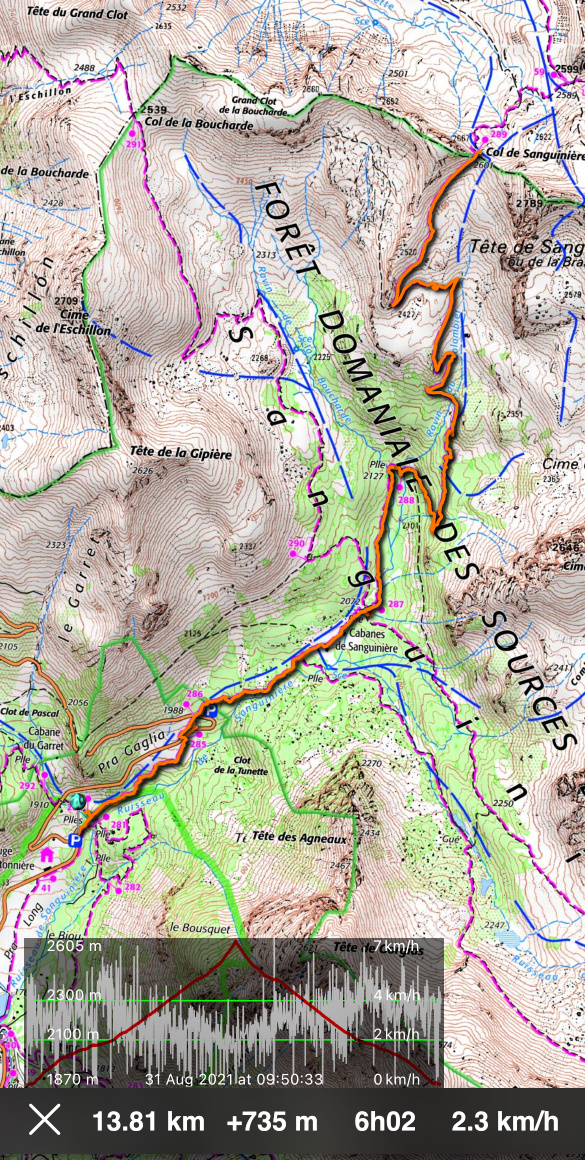
From signpost #284 (1870 m elev.) next to the parking, we entered the Mercantour National Parc, and climbed northeast. We crossed the D2202 road twice (signposts #285, 286), and continued in the woods to Cabanes de Sanguinière (2049 m). Soon after the huts and a clearing, we reached a crossroads at signpost #287 (2072 m). We continued straight, still in the woods, following the Sanguinière Stream along a nice and soft trail. We crossed a wooden bridge, passed signpost #288 and started to ascend more steeply along the southwestern flank of Tête de Sanguinière, the summit east of the homonymous col.
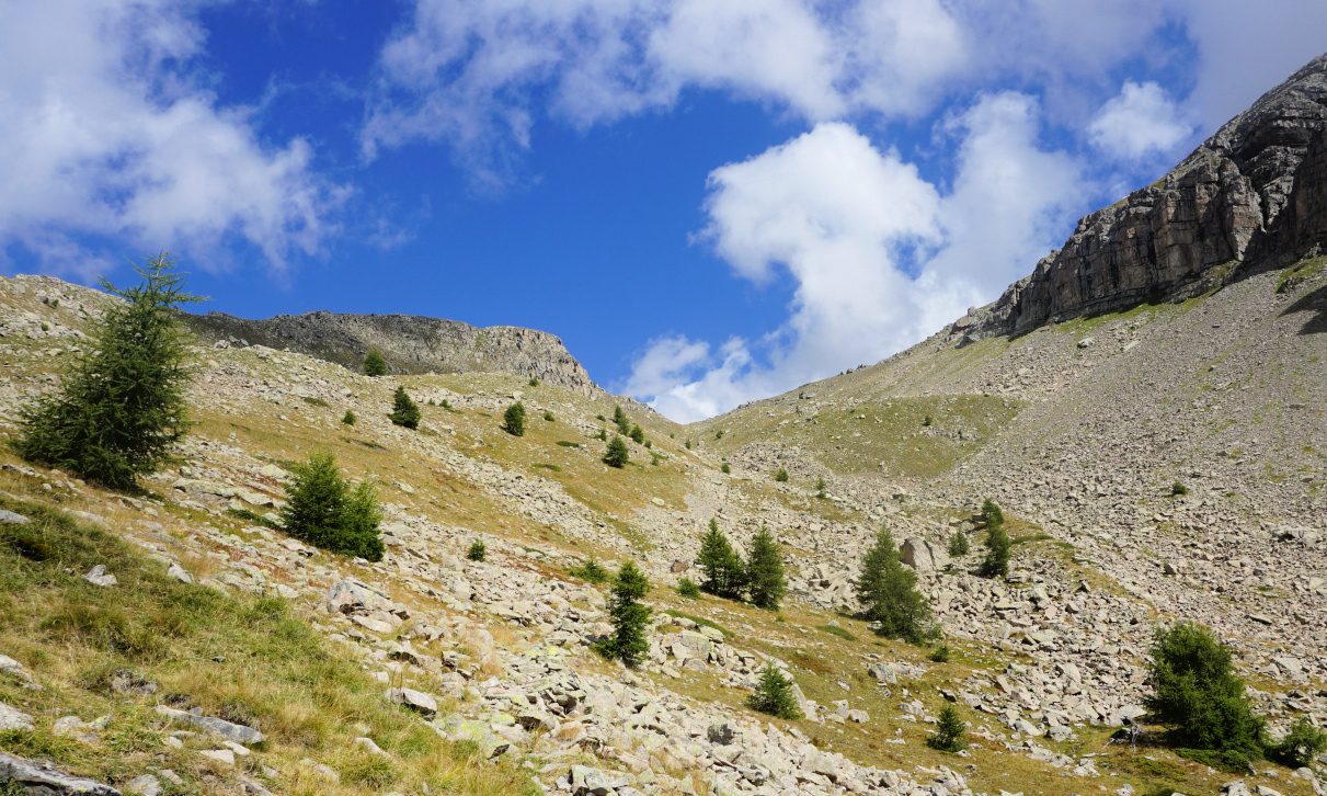
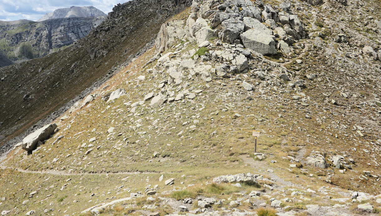
Above 2300 m elevation the forest was gradually replaced by a rugged high alpine scenery, and the trail became much rockier. We saw the mountain pass in front of us, but the marked trail had to make extra loops due to huge boulders south of the col.
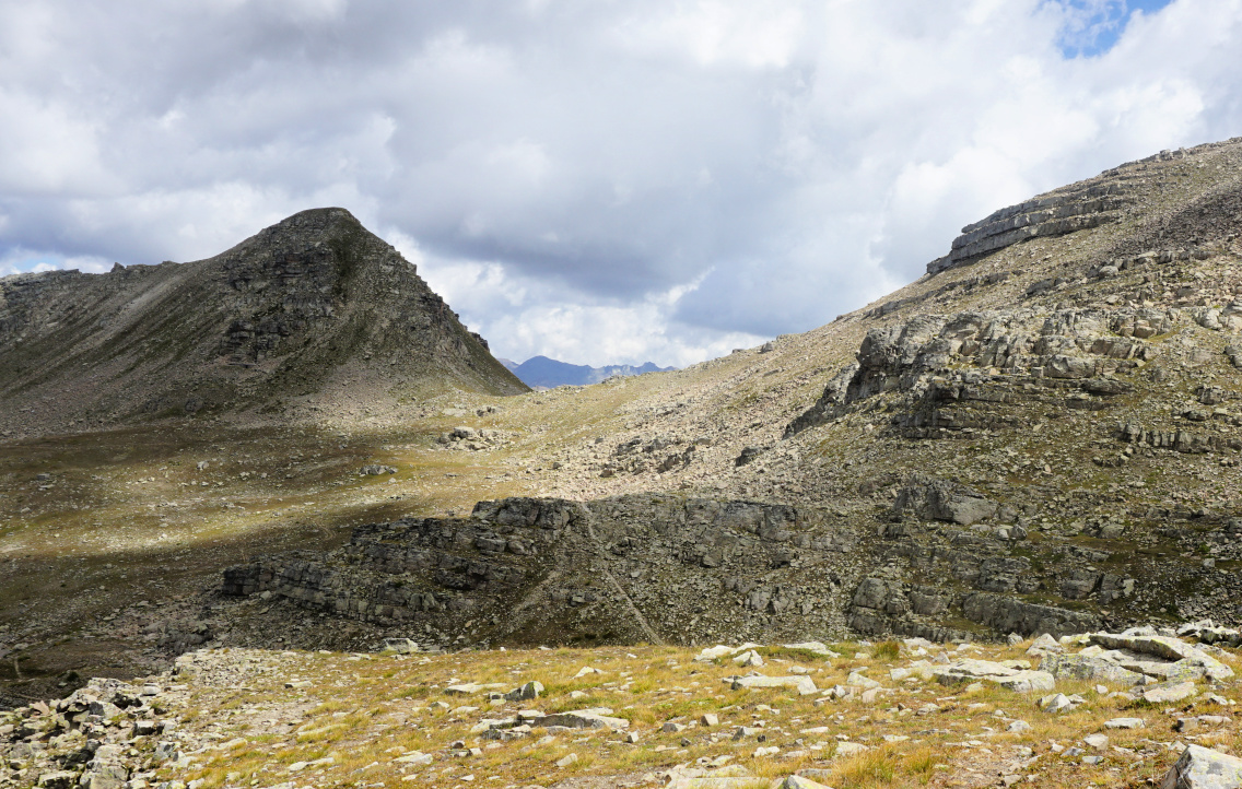
From the col, on the opposite side, we had a view of the wide Vallon de Sanguinière, Col de la Braïssa, and the row of peaks south of Col de la Bonette. The atmosphere was tranquil but sauvage, just the screams of marmots broke the silence from time to time.
We returned along the same trail.
Duration: 5h 20 active time
The following tasty sauté is perfect to make in autumn and winter when the butternuts and pumpkins are in season.
2 servings
2 small organic chicken breasts without skin and bone
½ small butternut squash
2 tbsp. olive oil
1 small onion, chopped
1 clove garlic, minced
2 tbsp. grainy mustard, moutarde à l’ancienne
2 tbsp. crème fraîche, 15% fat
½ tsp. cinnamon powder
Freshly ground black pepper
Chopped fresh herbs
Cut the chicken breasts into about 2,5 cm x 2,5 cm cubes. Peel the ½ butternut and cut into cubes about the same size as chicken cubes. Microwave the butternut cubes for 3- 4 minutes until half-cooked.
Warm the olive oil in a frying pan over medium heat and sauté the chicken and butternut cubes on all sides for 10 minutes. Stir now and again. Add the onion and garlic and continue cooking and stirring for 10 minutes.
In a bowl, whisk together the créme fraîche, mustard, and cinnamon powder. Pour the mixture into the pan and stir. Grind over some black pepper. Reduce the heat, cover and simmer for 5- 10 minutes.
Serve with brown rice or rice mixture and decorate with chopped fresh herbs.
We have hiked up to Puy de Tourrettes (1268 m) many times, and written a few blogposts featuring different itineraries.
Because of its elevation (970 m), the parking on the St-Barnabé plateau is a tempting starting point to explore the surroundings. It should be added that marked routes to the Puy de Tourrettes summit have been removed from new maps and some guides.
The terrain is not restricted but seems to be often used by sheep farmers.
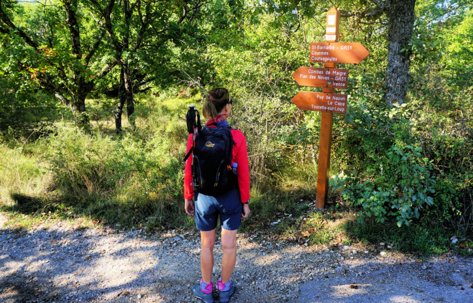 |
| Start along GR51 signpost#262 |
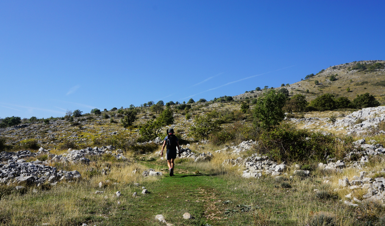 |
| Between signposts #167 #177 |
 |
| Puy de Tourrettes eastern flank |
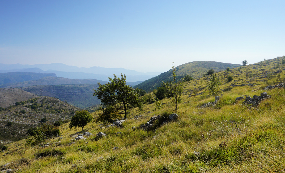 |
| Puy de Naouri seen from trail |
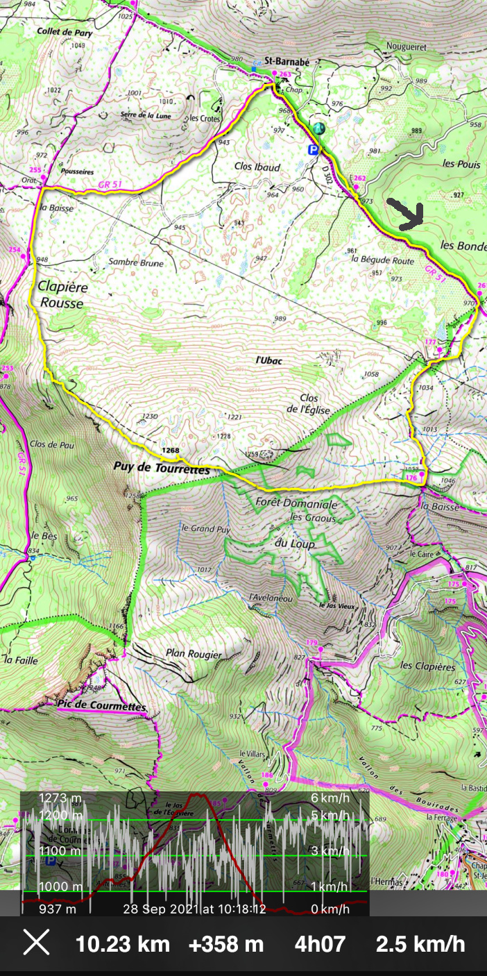
From the parking, we followed the GR51 southeast (almost flat) to signpost #261 where we forked right, heading south. We reached la Baïsse (signpost #176) above le Caïre. We forked right(west) and started to ascend along a good albeit unmarked path which took us directly to the flat summit marked with a big cairn.
 |
| Pic de Courmettes seen from trail |
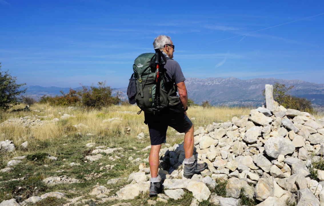 |
| Puy de Tourrettes summit |
 |
| Descending to Plateau St-Barnabé |
 |
| Oratory by GR51 trail St-Barnabé |
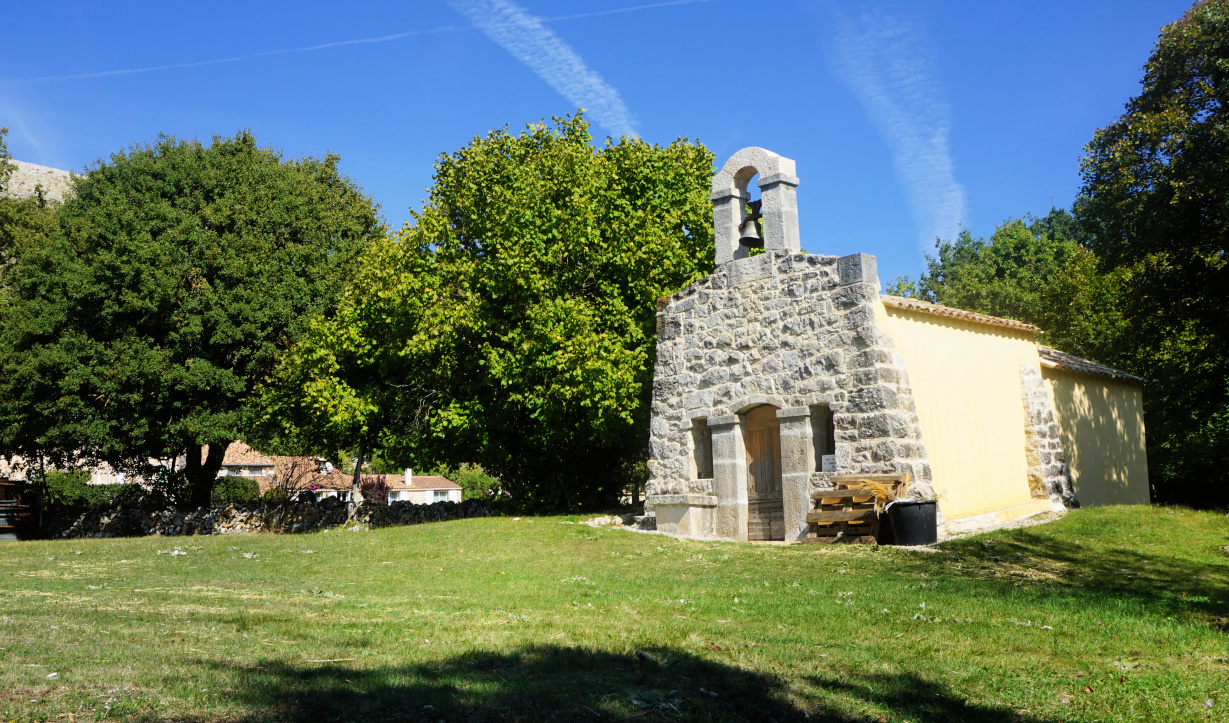 |
| Chapel in St-Barnabé |
The trail continued along the bare north western flank, and we descended along it passing Clapière Rousse and some pine woods. We came back to GR51, walked to signpost #255 and an oratory where we forked right again, and still on the GR51, headed first to the hamlet of St-Barnabé then back to our starting point.
Map: 3643 ET Cannes Grasse Côte d’Azur
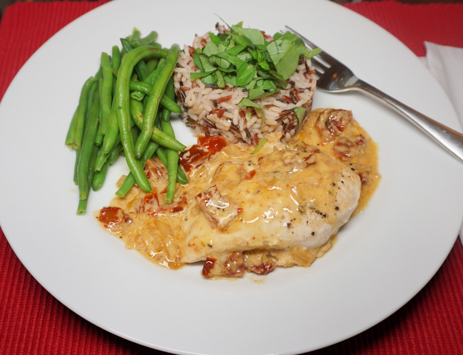
This is a simple one-pan recipe that can be cooked in about half an hour. The secret for its taste is in quality ingredients; organic chicken breasts, good Italian oil-packed sun-dried tomatoes, and organic fresh herbs.
Very little crème fraîche or cream is needed to achieve the creaminess of the sauce if it is stirred in the wine sauce almost at the last minute. In France, you can also choose the thick fat-reduced crème fraîche which tolerates heat without getting runny.
Serve the chicken breasts with rice mix or green lentils and some greens; green beans or broccoli or zucchini.
2 servings
2 organic chicken breasts without skin or bone
2 tbsp. olive oil
1 shallot, chopped
1 clove garlic, minced
75 ml white wine
4 oil-packed sun-dried tomatoes
2 tbsp. crème fraîche 15 % fat or cream
Freshly ground black pepper
Fresh chopped herbs
Start cooking the rice mix or green lentils which need about 25- 30 minutes cooking time.
Warm the olive oil in a frying pan over medium heat and sauté the chicken breasts on both sides until golden. Add the shallot and garlic to the pan and continue sautéing for about 10 minutes. Add the wine and continue cooking, scraping up any browned bits.
Place the sun-dried tomatoes on kitchen paper to remove some extra oil before chopping. Add to the pan and grind over some black pepper. Cover and let simmer over low heat for 5- 10 minutes until the chicken is done. Just before serving stir in the crème fraîche.
Meanwhile microwave the greens and chop some herbs.
Divide the chicken breasts, sauce, rice or lentils, and the greens on the plates. Decorate with herbs.
Compared with the famous Col de la Vanoise (2516 m) which lies on a large alpine meadow, Col Rosset (2545 m) is a narrow mountain pass with steep flanks on both sides. Therefore, the trail there is more challenging, with some exposed stretches.
Starting from Pralognan la Vanoise (1410 m), we decided to use the cable car to Mont Bochor (2022 m). Hiking from the village would increase the climb about 600 m. It is also possible to drive or take the shuttle bus to les Fontanettes (1640 m), and further the Génépi chair lift to Barmettes (2000 m), the latter not in service every day.
 |
| Mont Bochor |
 |
| Trail Before Col Noir |
 |
| Trail #10 to Col Noir |
 |
| Almost at Col Noir |
 |
| Grande Casse viewed from Col Noir |
 |
Vanoise Glacier seen from Col Noir
|
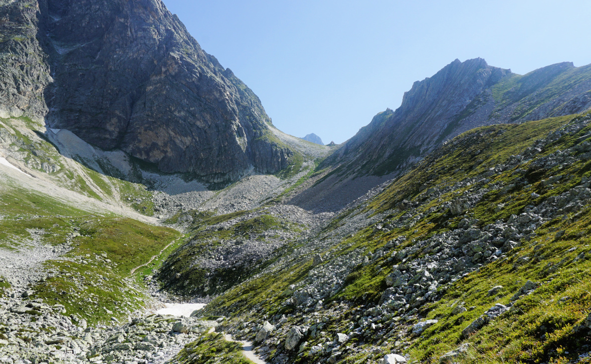
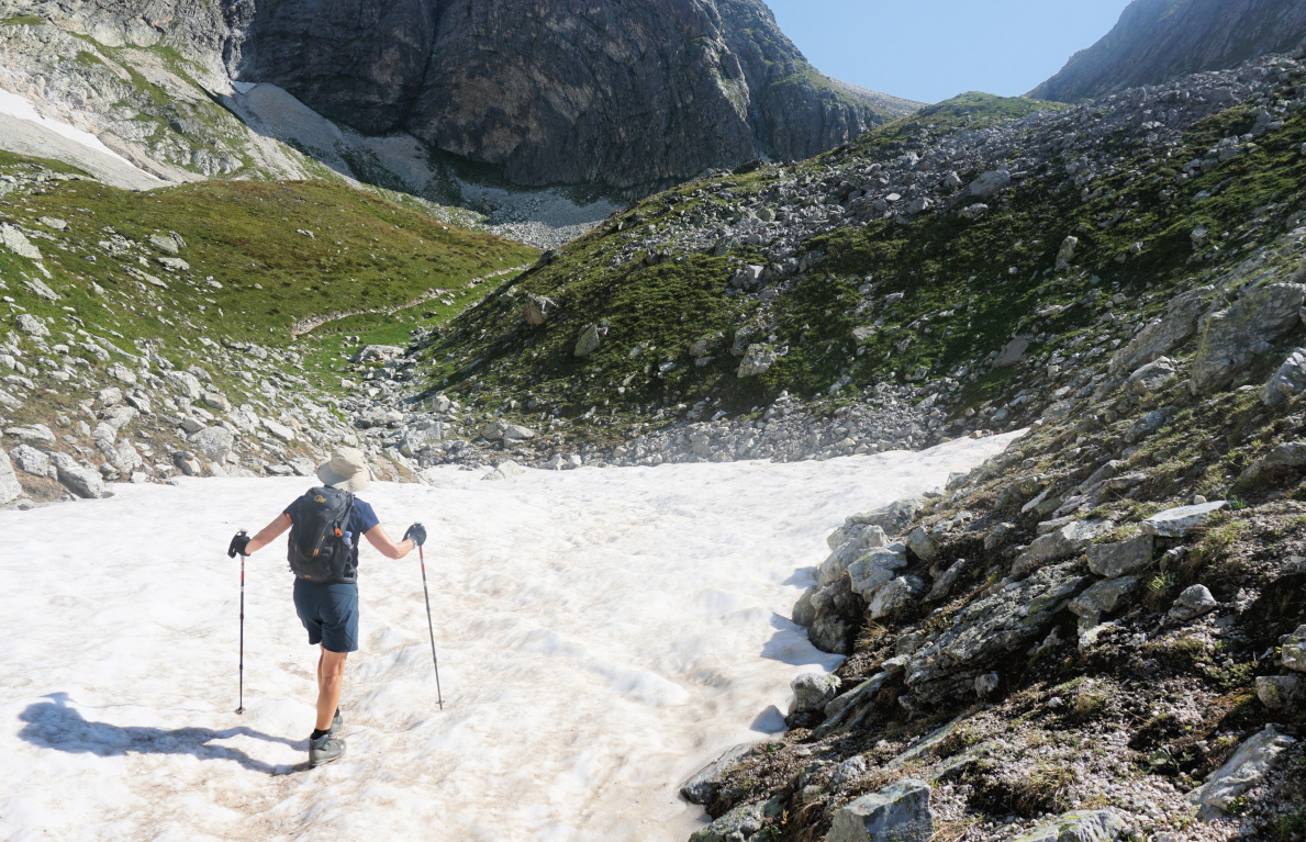
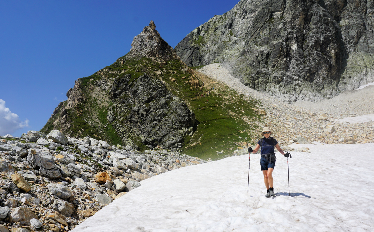
From Mont Bochor, we descended a few minutes to a crossroads, and started to climb along trail nr 8, mostly following the ski runs. We walked past the Ancolie ski lift upper station and a signpost at 2332 m where we took the right-hand trail (straight), now nr 10 in the Pralognan hiking guide. The trail became rockier and steeper after a patch of snow. We reached Col Noir, then continued along an exposed trail along a steep mountain flank. A chain was attached on the mountain side for extra security. However, the stretch was completely ok in good and dry weather.
 |
| Exposed part of trail to Col Rosset |
 |
| Near Col Rosset |
 |
| View to east from Col Rosset |
 |
| Descent from Col Rosset |
We climbed to Col Rosset which offered extraordinary views of the glaciers and the Grande Casse Massif. From Col Rosset, the initial descend to east was steep, then levelled off and we passed another stretch of snow before reaching Chalet des Gardes, just a small hut. We then descended rapidly to the GR55 trail which we followed to Refuge des Barmettes. We had an excellent late lunch on the terrace of Barmettes. From here, we climbed along trail nr 11 back to trail nr 8, and completed the loop. We took the Mont Bochor cable car back to Pralognan Village.
 |
| Col Rosset in background |
 |
| Barmettes |
 |
| Trail #11 to Mont Bochor |
Climb: 820 m Distance: 10 km
Duration: about 5 h active
Map: 3534 OT Les Trois Vallées
 |
| Col Rosset hike |
Avocado toast is a popular healthy recipe for a simple and quick meal. In France, a small number of avocados are grown but usually the avocados in French supermarkets are imported. Their quality is very variable; from hard unripe to already dark end over-ripe so not always edible and smashable.
I have seen some French recipes which replace avocados with peas. The following pea purée is my Mediterranean twist as it has a healthy amount of good olive oil. For a simple lunch, serve the bread slices with a mixed side salad.
2 servings
2 slices of rye bread or whole wheat toast
300 ml peas, fresh or frozen
A pinch of pressed garlic
Freshly ground black pepper
2 tbsp. olive oil
2 tbsp. fromage blanc or thick Greek yoghurt, 0% fat
2 soft- cooked eggs
Cook the eggs for 6 minutes in boiling water. Peel them and set aside.
Microwave the peas for a few minutes until defrosted. Add the garlic, some black pepper, olive oil, and fromage blanc. With a hand- held mixer, purée the peas into a nice consistence.
Divide the pea-purée on the bread slices and top with a soft- cooked egg.
Situated at the foot of the imposing Grande Casse (3855 m), Col de la Vanoise (2517 m) is probably the most visited site in the Vanoise National Park.
Historically the col was a trading route between France and the Piemonte region. The long-distance hiking trail GR55 runs through the mountain pass.
The GR55 ascends from the village of Pralognan la Vanoise (1410 m), but most visitors doing day hikes use either the Fontanettes parking (1640 m) or even the Genépi chair lift to Barmettes (at about 2000 m) as their starting point. The chair lift ran on certain days only.
We chose the third option. The cable car to Mont Bochor (2022 m) which ran every day in summer took us up in a few minutes. From Mont Bochor, we first descended along a trail which ran diagonally along the mountain flank (sentier balcon; nr 12 in the local guide), then ascended to Refuge des Barmettes. We continued along the wide GR55 trail (nr 14 in the guide), heading northeast. The scenery became more and more high alpine and we reached Lac des Vaches (2330 m). Flat rocks had been placed in the middle of the semi-dry lake to facilitate the crossing.
From the lake, the GR55 turned east then southeast passing Lac Long. The col and the refuge soon emerged in front of us in the middle of verdant alpine meadows. We could admire La Grande Casse in the north and the Vanoise Glacier in the south. It was a truly remarkable scenery.
We used the same itinerary back to the cable car.
Map: 3534 OT Les Trois Vallées


