Exploring Col de Vence
We planned a leisurely walk near Nice as the city was preparing itself for a weekend lockdown due to the pandemic. The main reason for preferring a moderate exercise was, however, the deteriorating air quality in the region. Authorities even recommended prudence regarding outdoor activities. Desert dust from Sahara had reached vast areas in eastern France.
Parking at Plan des Noves (at 780 m elev. and a 10 min drive from Vence along M2) is a popular starting point for walks. We wanted to explore trails near Col de Vence (962 m). Studying the map, we found several trails and tracks some of which were neither signposted nor marked officially as hiking trails.
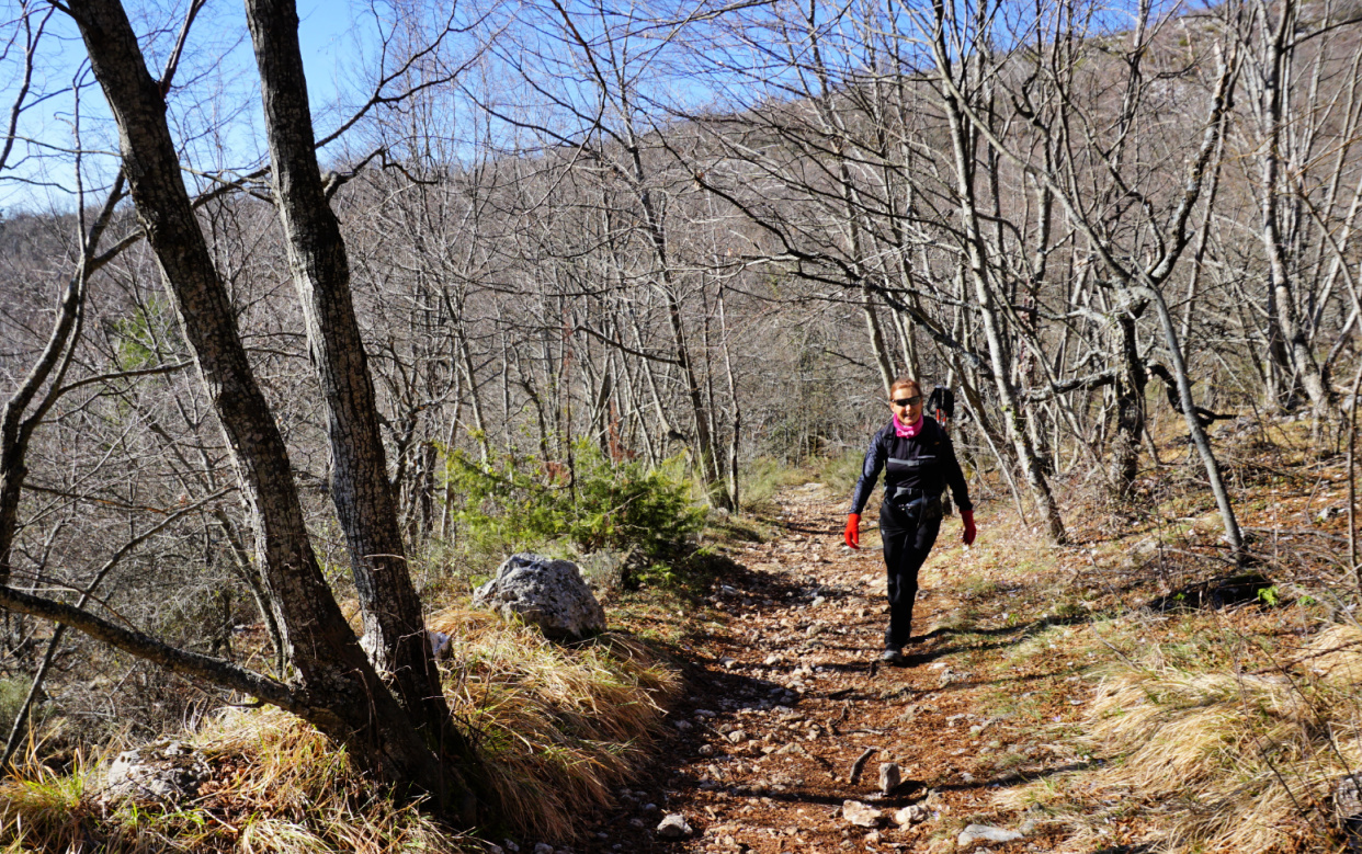
From the parking, we crossed the M2 road to signpost #135, and followed the GR51 trail southwest to signpost#136 where we forked right and ascended to Col de Vence, crossing the road a few times.
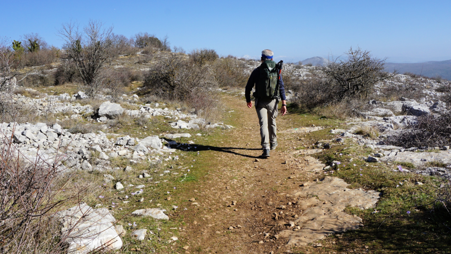
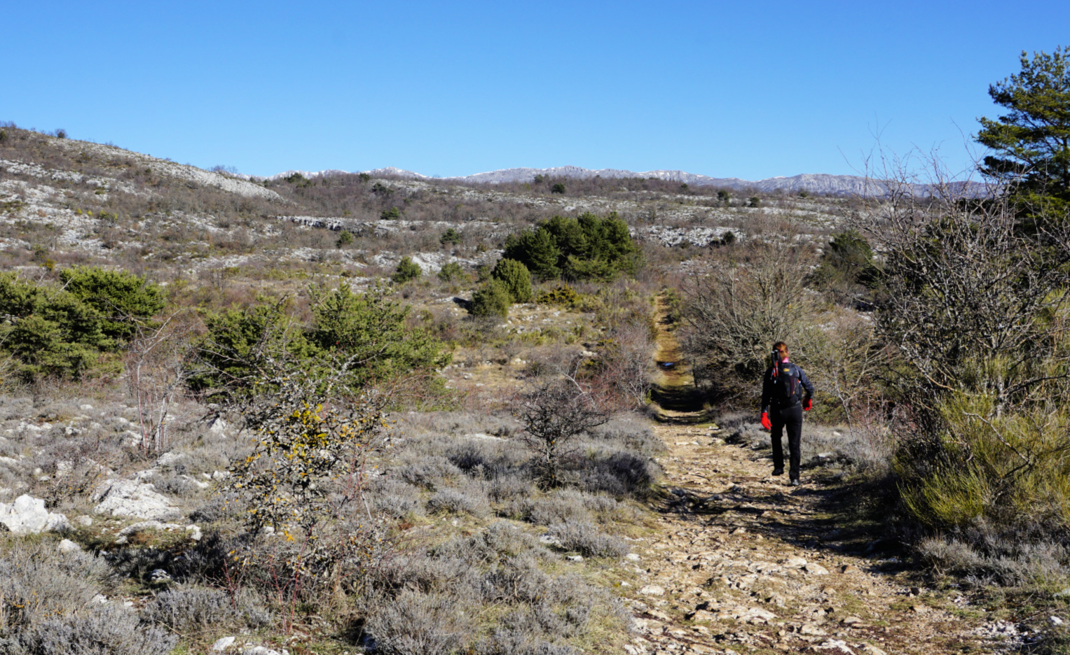
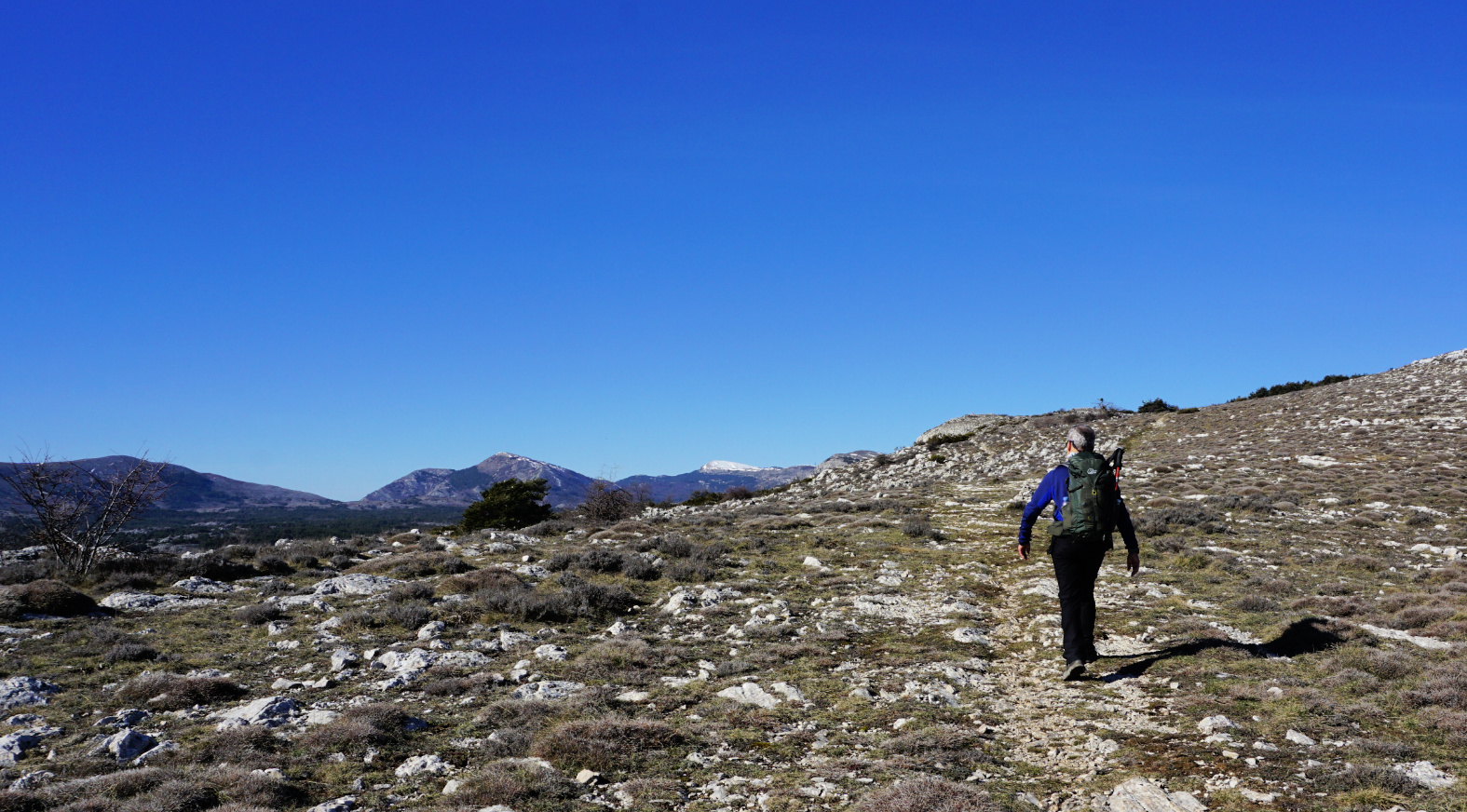
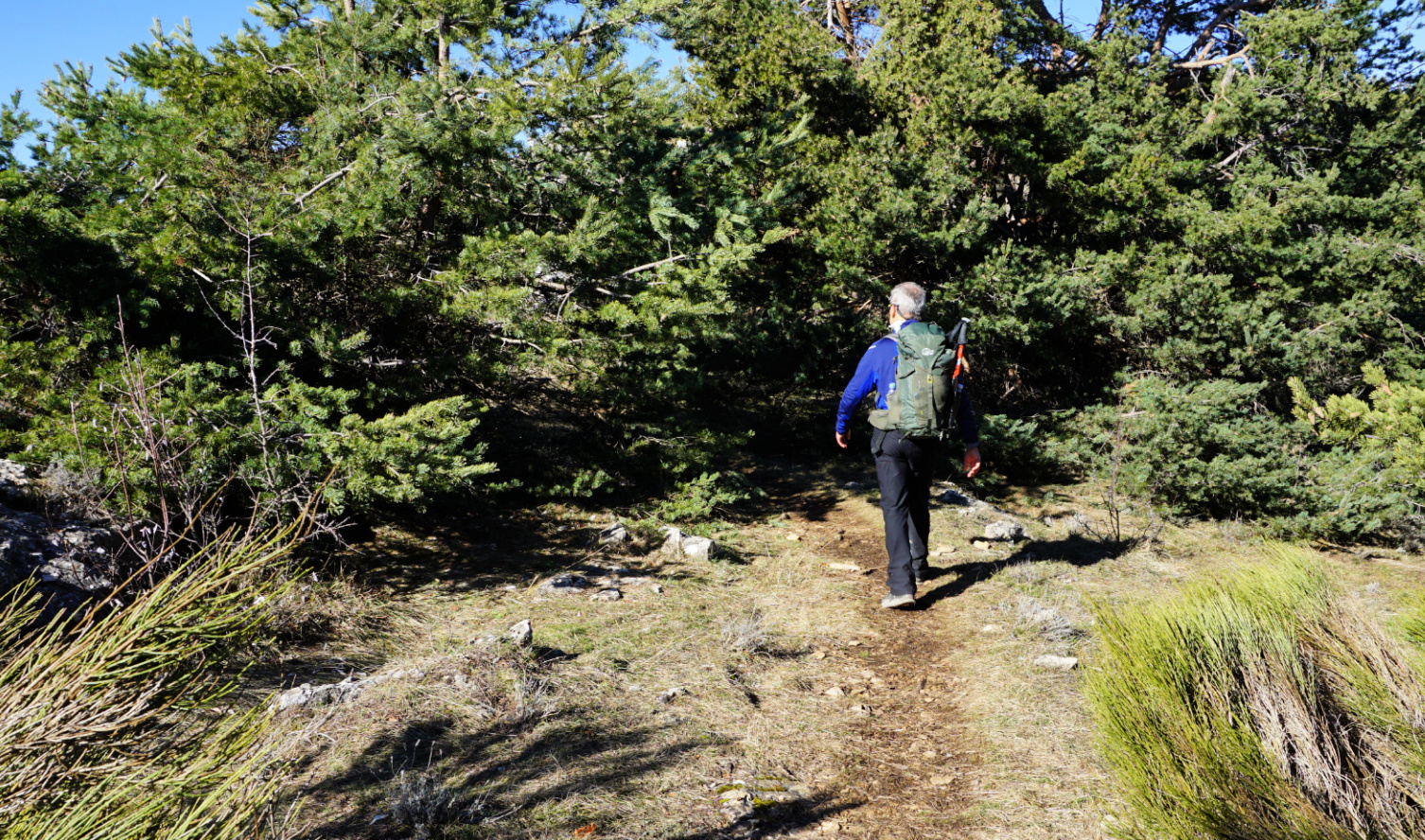
Just before the Col, we followed the M2 a few hundred meters. At the Col, we forked right and headed north along a wide trail which was used by riders. The trail was easy to follow in the mostly open terrain. At about 1000 m elev. there was still a lot of haze, reducing the visibility on this otherwise clear winter day.
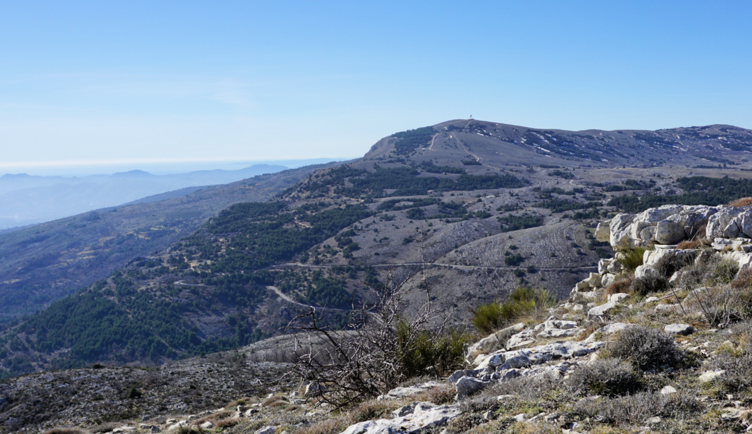
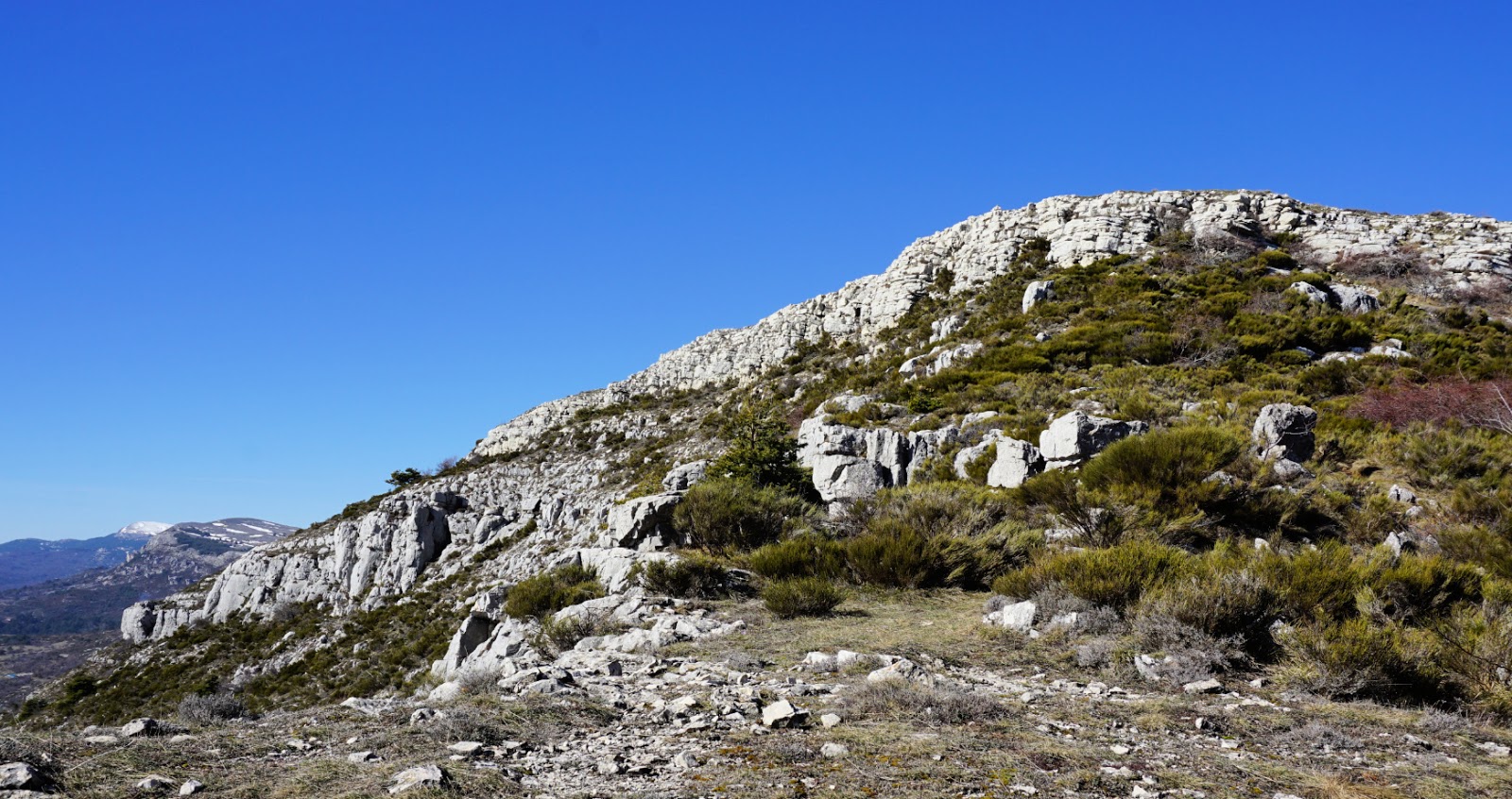
We walked till the end of the of the trail, where an unnamed viewing point was marked on the map. There were parallel trails leading to the same turning point. We were high above the Cagnes River Valley. We had the Cheiron mountains to the left and Mouton d’Anou to the right, and the snow-capped Mercantour peaks further away.
We used the same trail back to the starting point.
This trail was much less frequented than the one leading to Plan des Noves. The only disadvantage was that you had to cross the M2 road a few times, minding both cars and cyclists.
Distance: 8,2 km
Climb: 270 m
Duration: 2h 40
Map: Vallée de l’Estéron Vallee du Loup 3642 ET


