Isola 2000: Tête Mercière
 |
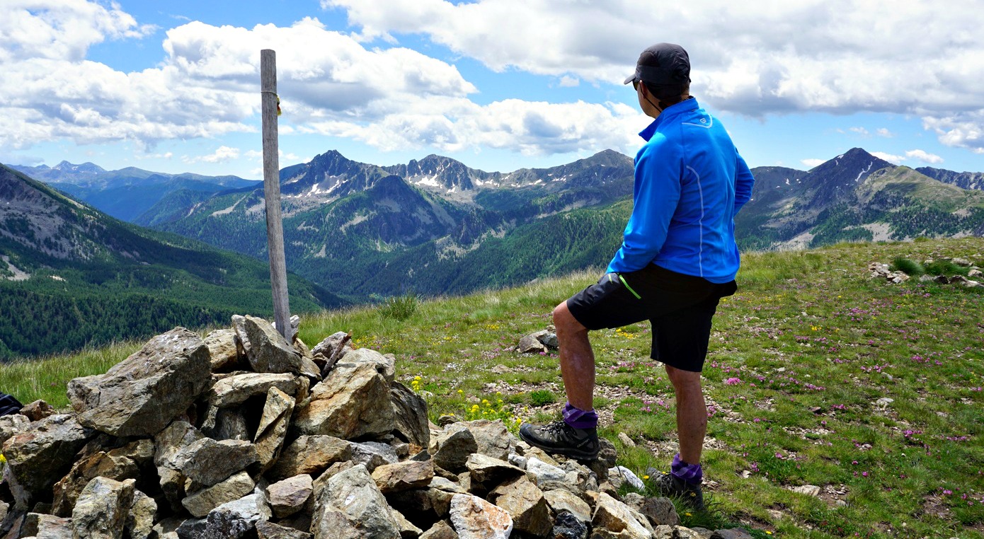
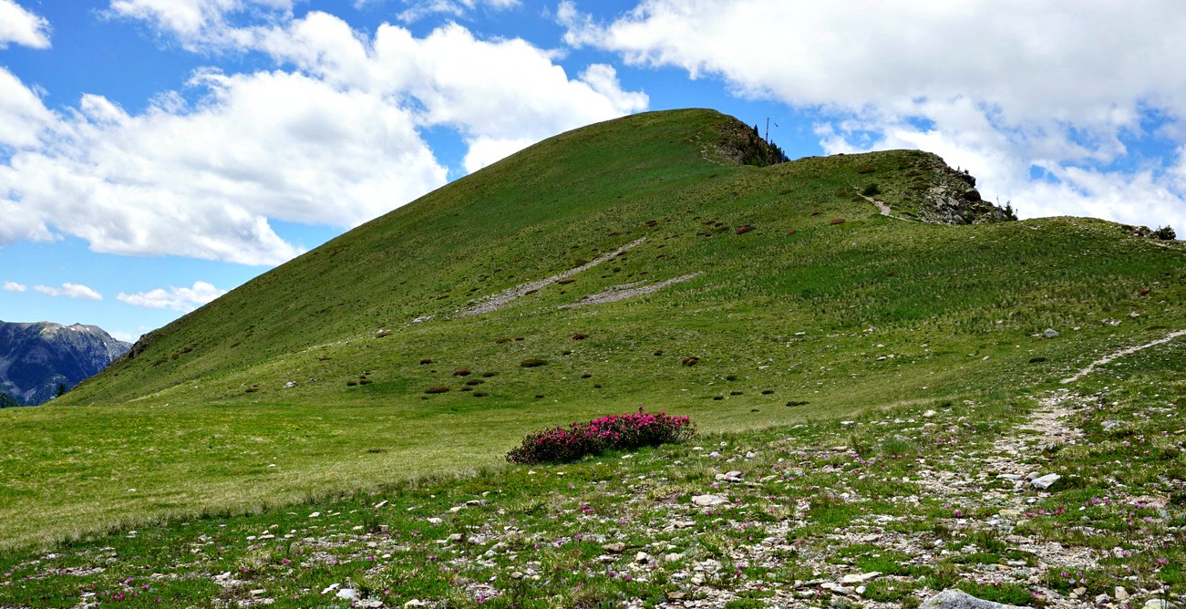
The itinerary to Tête Mercière (2491 m) is one of the most popular hikes from Isola 2000. We have done it a few times. Today’s hike in late June was dedicated to the wild rhododendrons that were in blossom in abundance.
Our timing was perfect regarding the rhododendrons. Isola 2000 was quiet because the summer season had not yet kicked off. Hikers need to avoid the many mountain biking trails (marked) that cross walking paths and ski runs.
From the centre of Isola 2000, we walked to signpost #80 and #81. Instead of forking left along Chemin des Italiens (as advised in the local guide), we ascended first along a steep ski run, then forked left after 150 m and continued to climb along a less steep and grassier ski slope that went under the Pélévos Télécabine. After 700 m, we again forked left to a track that crossed ski lifts and runs. We hiked past the high-altitude landing strip and came to the quasi horizontal dirt track which we followed east to Col de la Roubine (signposts #96, 96a).
From Col de la Roubine, at the foot of Tête Mercière, the trail zigzagged to the summit along the north western flank with beautiful red and green rhododendron carpets by the trail. The summit marked the border of Mercantour National Park. The southern flank of the mountain comprised vast alpine meadows, and remains of bunkers were seen here and there.
We descended to Col Mercière (2342m, signpost #95). At this crossroads we headed north along a yellow-marked trail (some rockslides on the path after the col) to signpost #92 in Vallon de Terre Rouge. The ascending trail went up to the Terre Rouge Lakes and Baisse de Druos. We forked left at this crossroads and descended back to the village.
 |
| Rhododendrons in Isola 2000 |
 |
| Rhododendrons around Tête Mercière |
Climb: 550 m
Duration: 3h 50 active
Distance: 8,5 km
Map: “Haute Tinée 2” TOP 25 N°O 3640 OT
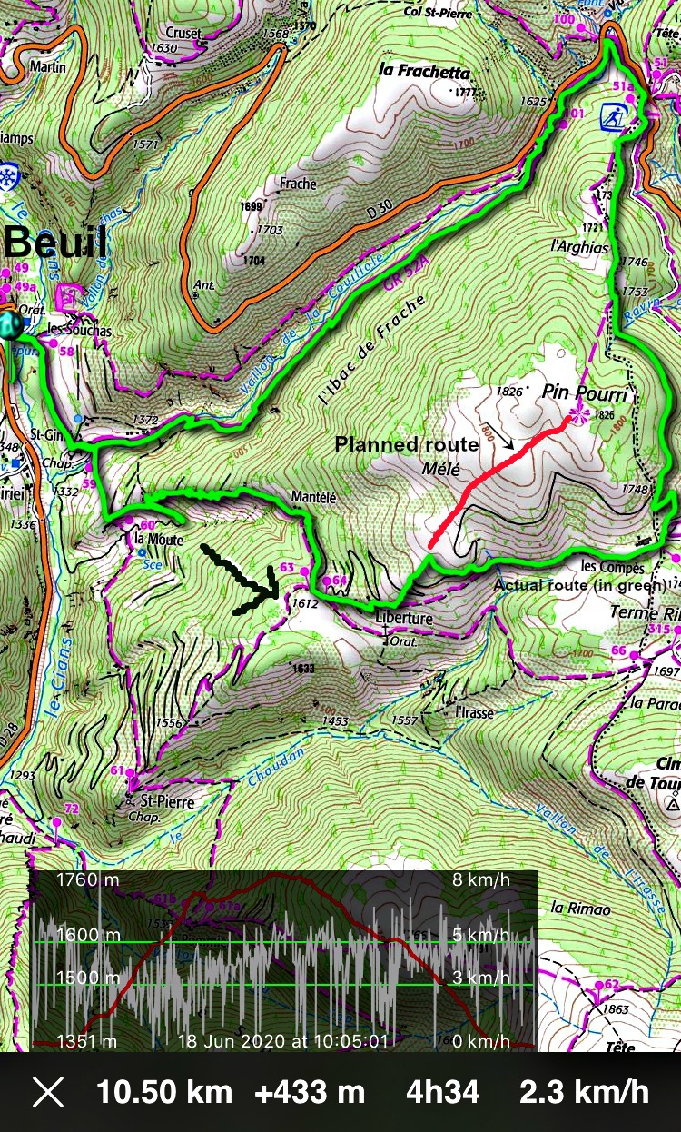
Our GPS (iPhiGéNie) track:
 |
| Tête Mercière loop hike track |


