Risoul: Belvédère de l'Homme de Pierre loop hike
Risoul (1850 m), a mountain resort above Guillestre, offers several great hiking itineraries during the summer season.
We are in the Southern French Alps, in the department of Hauts-Alps.
The following loop hike must be one of the most popular walks in Risoul. We saw families on the trail. Some of them might have just hiked to the mountain top and back, instead of completing the loop.
 |
| Start of trail at Pelinche Risoul |
 |
| Signpost at 1975m Risoul |
 |
| View to east from Risoul |
 |
| Larch forest above Risoul |
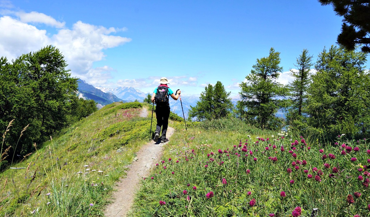
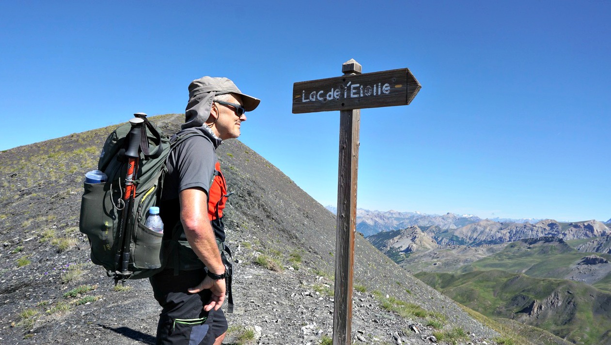
We started from the spacious Pelinche chair lift parking (1900 m), located the dirt track which ran under the Pelinche ski lift and ascended to a crossroads with a signpost ( elev.1975 m; 2nd image) showing the itinerary to the summit. We forked left and ascended along a trail, initially in a larch wood. We crossed another path in a clearing and continued the ascent.
 |
| View to northeast from Risoul |
 |
| Short steep section of trail above Risoul |
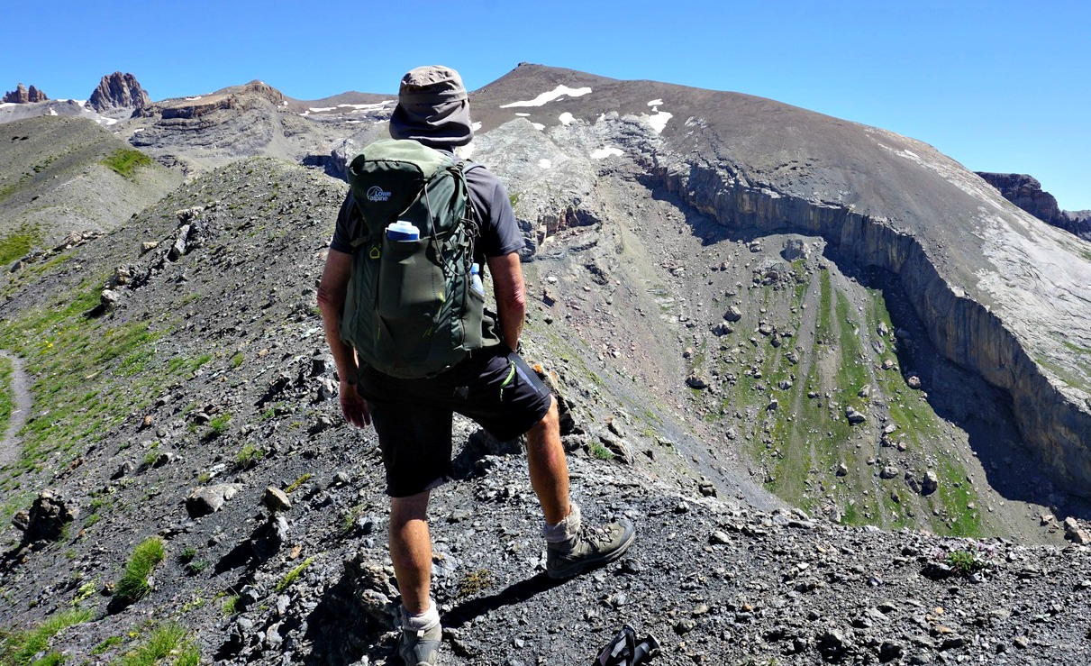
The path soon turned to southwest, we left the woods and had alpine meadows on both sides. We climbed over a small summit and had Belvédère de l’Homme de Pierre (2374 m) in sight (a telecom mast, ski lift). The summit marked the highest point of this hike.
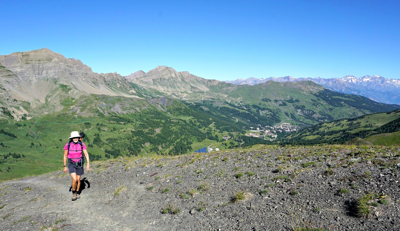
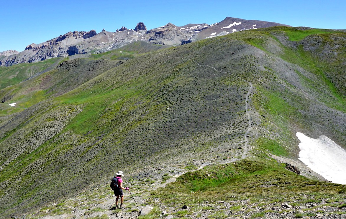
We continued the circuit by following the path to the northwest then north where we descended along the magnificent Crête de Martinat. This part of the hike was definitely the highlight of the itinerary. We had the Durance River Valley deep under us. Further away, we had a glimpse of Lake Serre Ponçon.
 |
| Belvédère de l'Homme de Pierre summit |
 |
| Leaving l'Homme de Pierre summit |
 |
| Serre Ponçon Lake seen from Risoul |
We eventually reached a dirt track, a clearing with a hut and a picnic table. At this point, we forked sharply right (southeast) and walked past Lac du Pré du Laus, then ascended a bit before descending back to Risoul along the same track.
Image of our track below
Duration: 4 h
Distance: 12 km
Climb: 570 m
Map: 3537 ET “Guillestre Vars Risoul”
 |
| Risoul loop track |


