Cime de Pal

Finally, the weather forecast was favourable for our ascent to Cime de Pal (2818 m) above the hamlet of Estenc (1778 m) in the upper Var Valley.
We had admired the silhouette of Cime de Pal from Auron, with its long ridge stretching to the north, and its quasi-vertical southern wall. The ridge has been praised by many mountain aficionados. The image below the map shows the mountain viewed from different directions.
We headed to Estenc from Nice on a chilly but clear September morning (a 2 h drive). The temperature in Estenc was just 6°C.
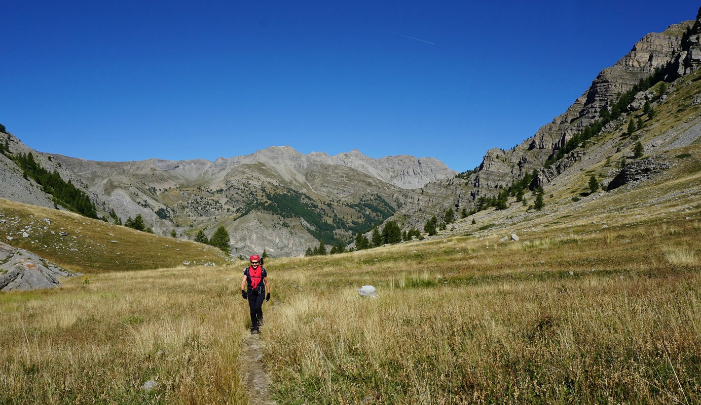
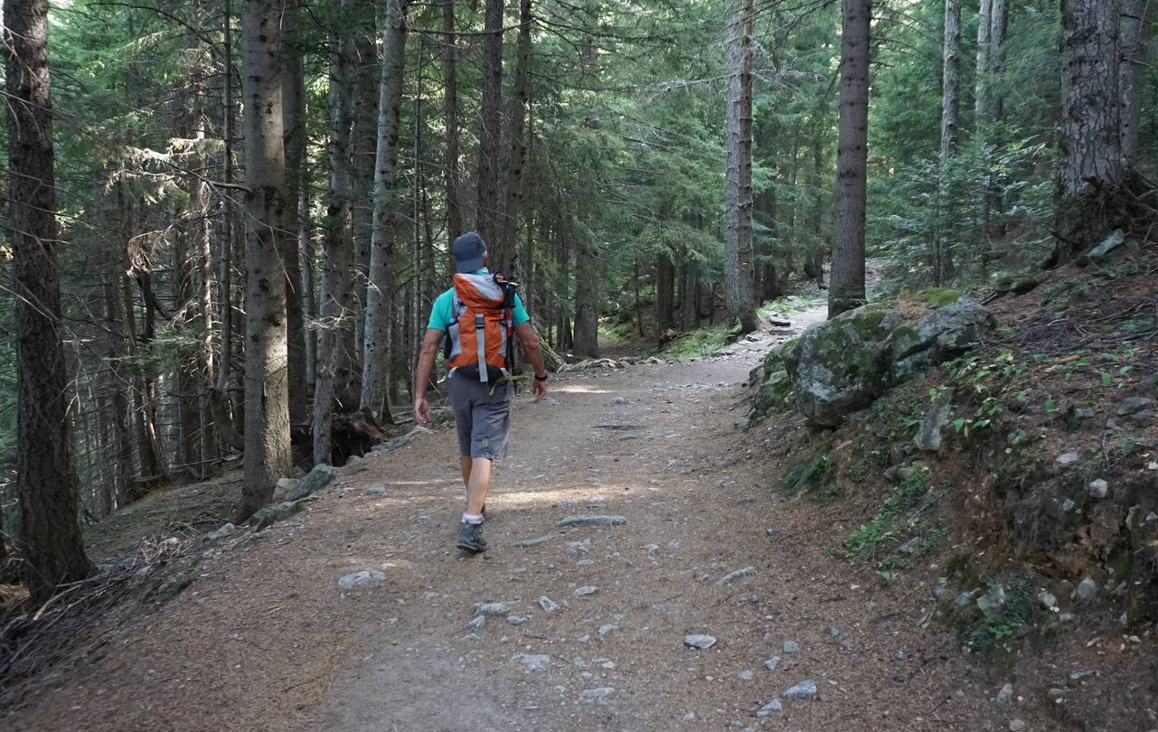
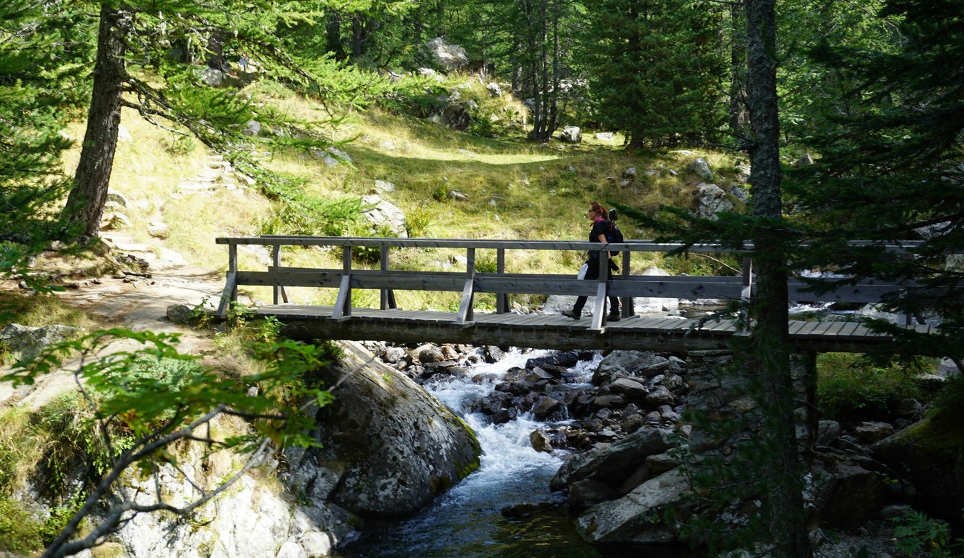
From Estenc (signpost #40), we started along the GR trail to Col de Gialorgues. We crossed the Var River, walked past several chalets before the trail proper began. We ascended, partly in the woods, to Pas de l’Estrop. Getting higher, we came to the vast l’Estrop Valley where progress was pleasant mostly along soft alpine meadows. The peculiar shape of Roche Grande (2752 m) was on our right-hand side.
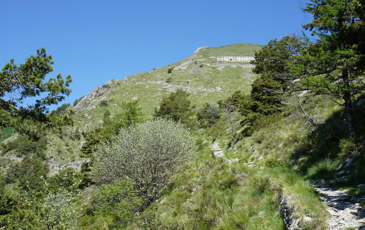
We reached Col de Gialorgues (2519 m). From here, even the summit of Mont Viso was visible in the distance. The main trail continued straight down to the Gialorgues Valley and St-Dalmas-le-Selvage whereas we forked right and climbed to Baisse de la Boulière (2629 m) along an ancient military trail. From here, our summit was visible in the south east.
We now descended a bit along the narrow trail that went down to Entraunes. After about 400 m, we located an unmarked (albeit the cairns) trail that climbed up to the ridge. On a clear day, with cairns in sight, navigation was not difficult. The itinerary is marked with an interrupted line both in digital and paper IGN maps.
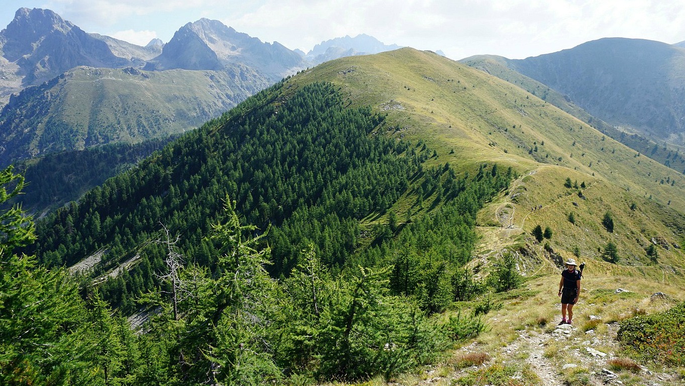
We were lucky to visit the famous ridge that connects Cime de la Gorgia, Cime de Bolofré and Cime de Pal on a clear and sunny day. We headed south, towards the summit, following the cairns. In places, the trail would have been almost invisible without them. Approaching the summit, the trail became steeper with some exposed parts. The narrow summit was marked with a big cairn. The wind increased, and it became quite cold in spite of the sun. We descended almost immediately, using the poles that were of great help (loose slate rocks).
We took the same itinerary back but in the l’Estrop Valley had to make a small detour as the lamb flock and the guarding dogs were now roaming freely not far from the trail. In the morning they were still all inside the fence next to Cabane de l’Estrop.
Climb: 1100 m
Distance: 19 km
Duration: 7 h (active)
Map: IGN 3540 ET Haute Vallée du Var


