Planetary trail above Valberg
This relaxed walk starts from Valberg ski resort (1680 m) about 80 km from Nice. Valberg is built in a classic alpine style and has an atmosphere of a larger, chic resort.
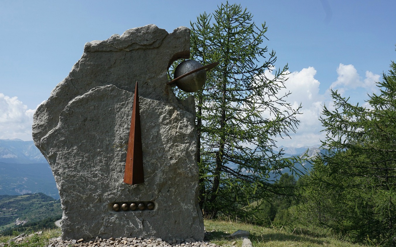
The trail is called Sentier Planétaire, the planetary path, because it is dedicated to astronomy; at various spots you will discover the sun, the earth and seven other planets as well as information about the milky way, galaxies etc. It is a great hike for kids too.
In summer, some trails are dedicated to hikers, others to mountain bikers. From many spots you’ll be able to see the village and signposts are numerous along the trails. You will not get lost here! You can benefit from the crisscrossing paths and dirt roads and tailor-make your walks if you wish.
We modified the itinerary by taking the planetary trail on the way back, and by making an extension to a nearby summit called L’Adrech de Forche (2011 m).
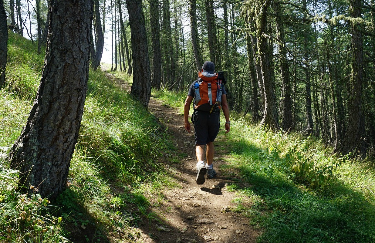
From the centre of Valberg we started ascending along a road first to Lac de Sénateur then further to a crossroads and signpost #20 where we came to the planetary trail proper. The itinerary continued in the woods to a small summit with the planet Uranus.
A short descent then took us to Col des Anguillers (1854 m, signpost #24), next to Lac des Anguillers. From here, we climbed along the trail, zigzagging in the woods up to the turning point of the planetary trail and the planet Neptune (1926 m).
The summit of L’Ardeche de Forche was visible in the southeast. We descended about 50 m from Neptune then climbed up to the summit which was our turning point. Dome de Barrot was visible in the south while the long ridge of Mont Mounier dominated the scene in the north east.
On the way back to Valberg, we used the dirt road to signpost #20, then the very picturesque path running along the western slope of the mountain (signposts # 11,10,9) with further astronomic information (albeit only in French) in several places.
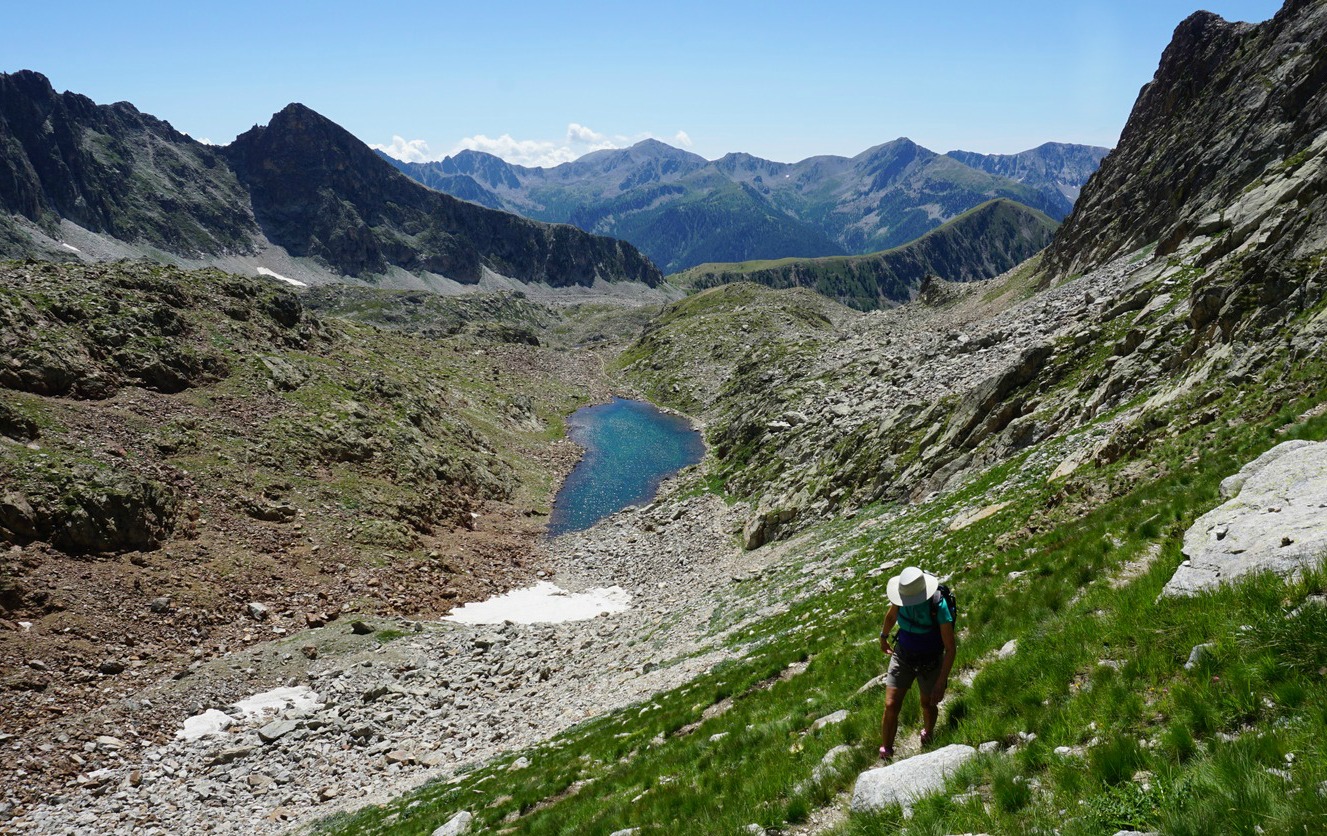
Even if you wouldn’t be interested in the theme itself, this walk along good trails offers truly great views.
Duration: 4 h
Distance: 11 km
Elevation gain: 450 m (our variant)
Map: “Haut Cians” 3640 OT


