Hike above River Estéron

The village of Bouyon (640 m) on the sinuous RD1 road from Carros is only 30 km from Nice. The village is the starting point of this loop hike which also passes the village of Les Ferres at col des Ferres (596 m). Bouyon is a tidy village with one restaurant, an auberge, and a pizzeria. In 1887 it was destroyed by an earthquake and rebuilt two years later.
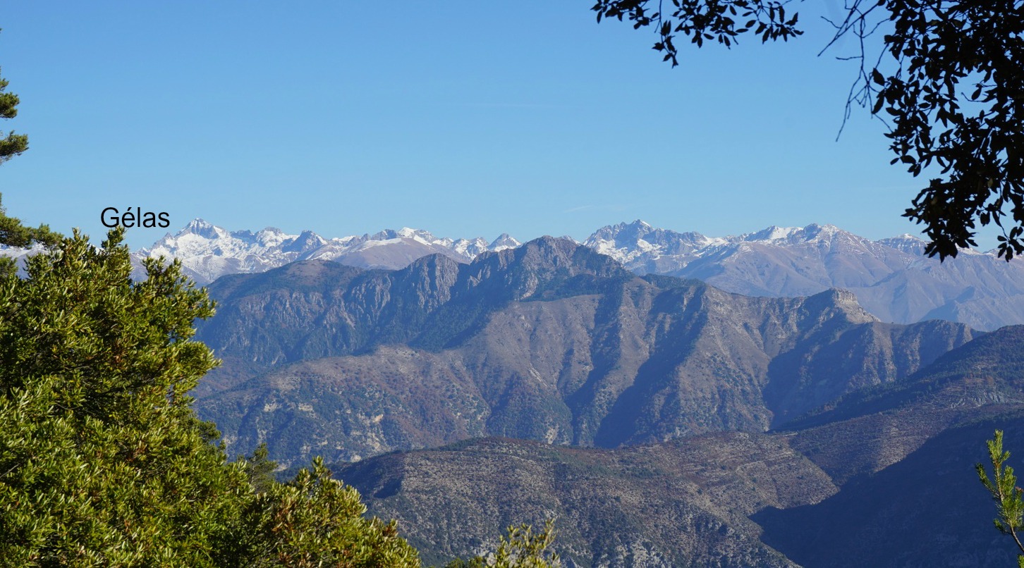
On the way back to Bouyon the trail offers super views of the Valley of Estéron. We have previously made this hike some years ago in July when the heat was intense. It was much more agreeable in September weather.
The hike starts from signpost #5 right after the centre of the village. We first took the stairs passing several houses above the village and crossed signpost #6, showing the trail to Les Ferres. We continued along the southern slope of Crête de l’Estellier passing signpost #100 and soon the highest point at 1000 m. We now descended sharply along a narrower trail towards Les Ferres and had the feeling that this particular part had been less used. We only met two free roaming goats up here, nothing else! We descended down to the RD1 road just below Les Ferres. From here, we took a small road that descended below the RD1 road, and continued about 3 km as far as to signpost #102. Here we forked right along a good path that led to oratoire Notre-Dame-du-Brec, a three-meter-high oratory with views straight down to the Gorges of Estéron.
The trail after the oratory gave the best views of the gorges. We still descended quite a lot, to about 300 m before starting to ascend back to Bouyon. At signpost #103 in the woods, we took the trail showing the way directly to Bouyon. Not surprisingly, is was a continuous ascent back to our starting point.
Another example of a great and perhaps a less frequented trail in the Nice hinterland, l'arrière-pays Nicois. The itinerary comprises two 300-340 m ascents, and a long descent between them. The French Randozygène guide (Gorges de l’Estéron) has a description of this hike, although they are a bit optimistic regarding the walking time (theirs: 4h15, ours 4H45). When going there in autumn, keep in mind the hunting days in Alpes-Maritimes.
Ascent: 640 m
Map: IGN 3642ET Vallée de l’Estéron
Trail image courtesy of Google Maps


