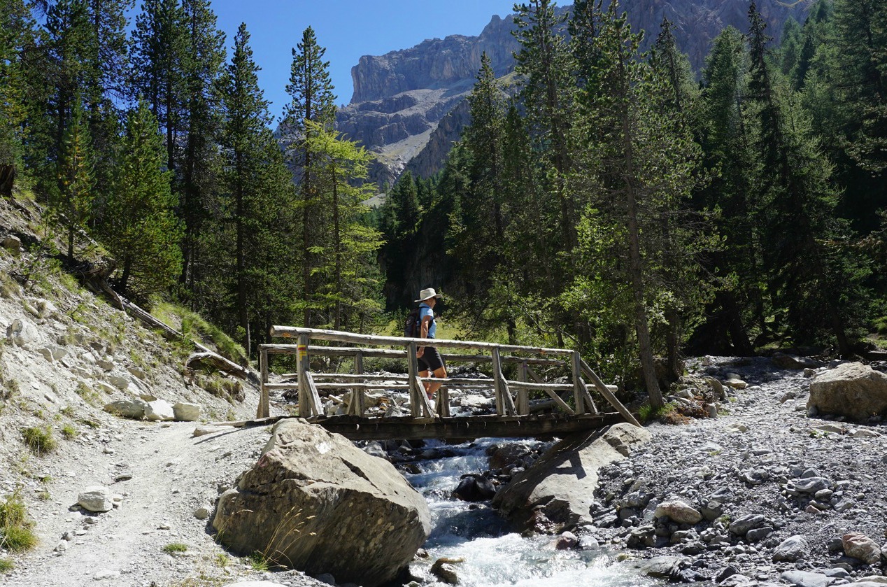
October hike above Madone de Fenestre
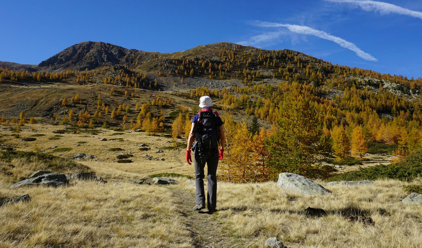
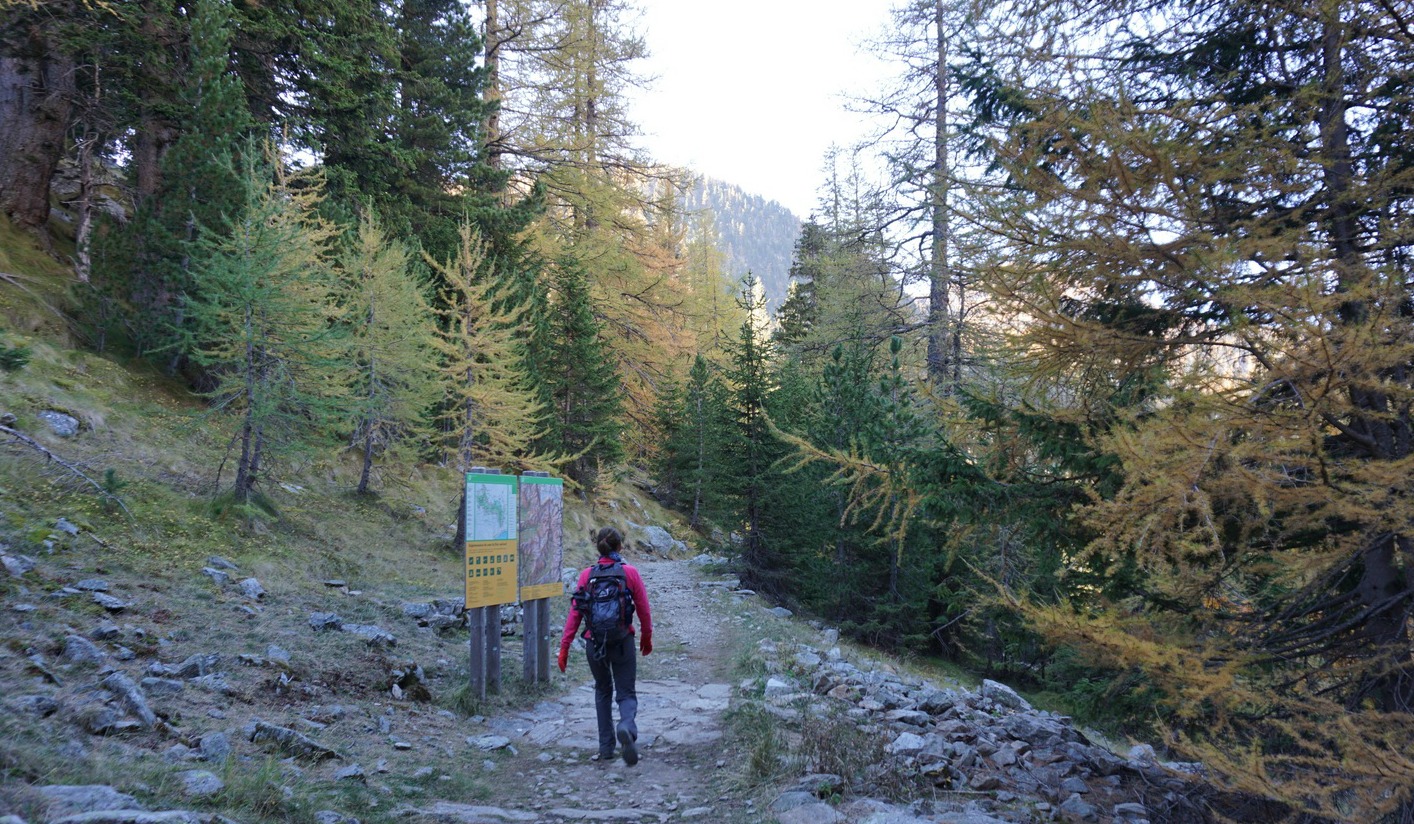
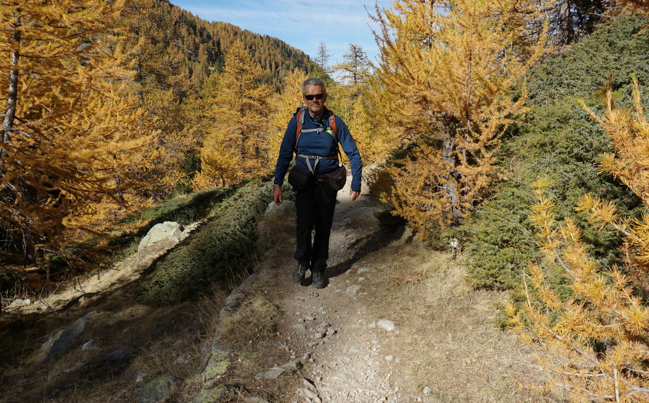
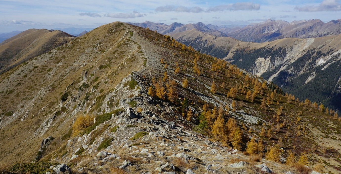
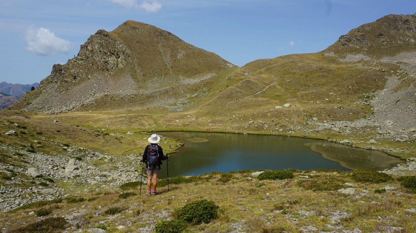
It was a clear late October morning, trees turning bright yellow higher up. The magnificent ridge comprising five peaks between the passes Baisse de Prals and Baisse de Ferisson (2254 m) south of Madone de Fenestre was once again our goal. From Nice, it takes about 1h 30 to reach the sanctuary.
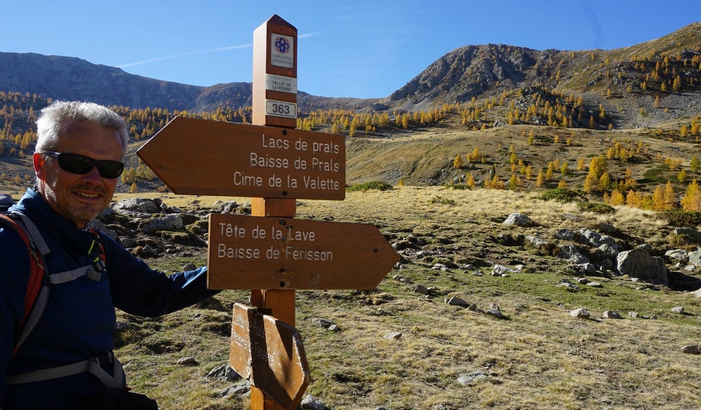
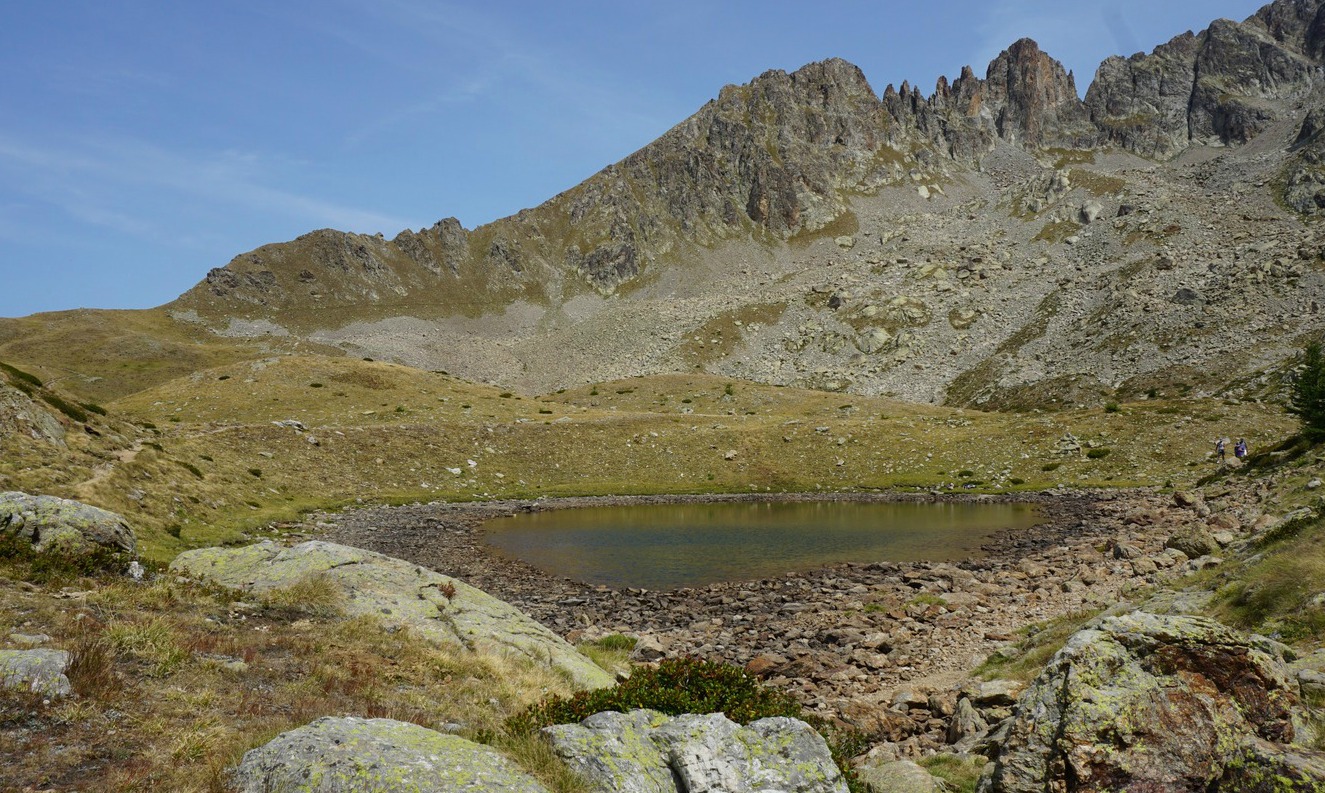
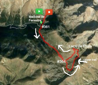
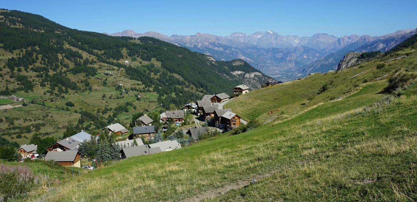
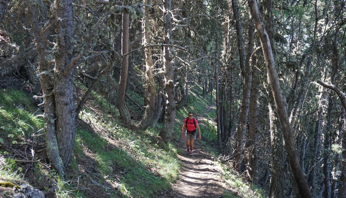
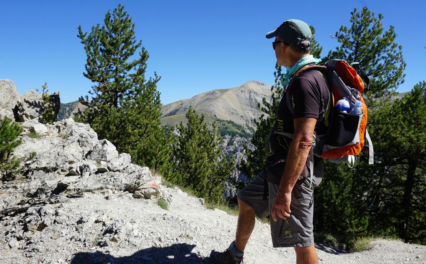
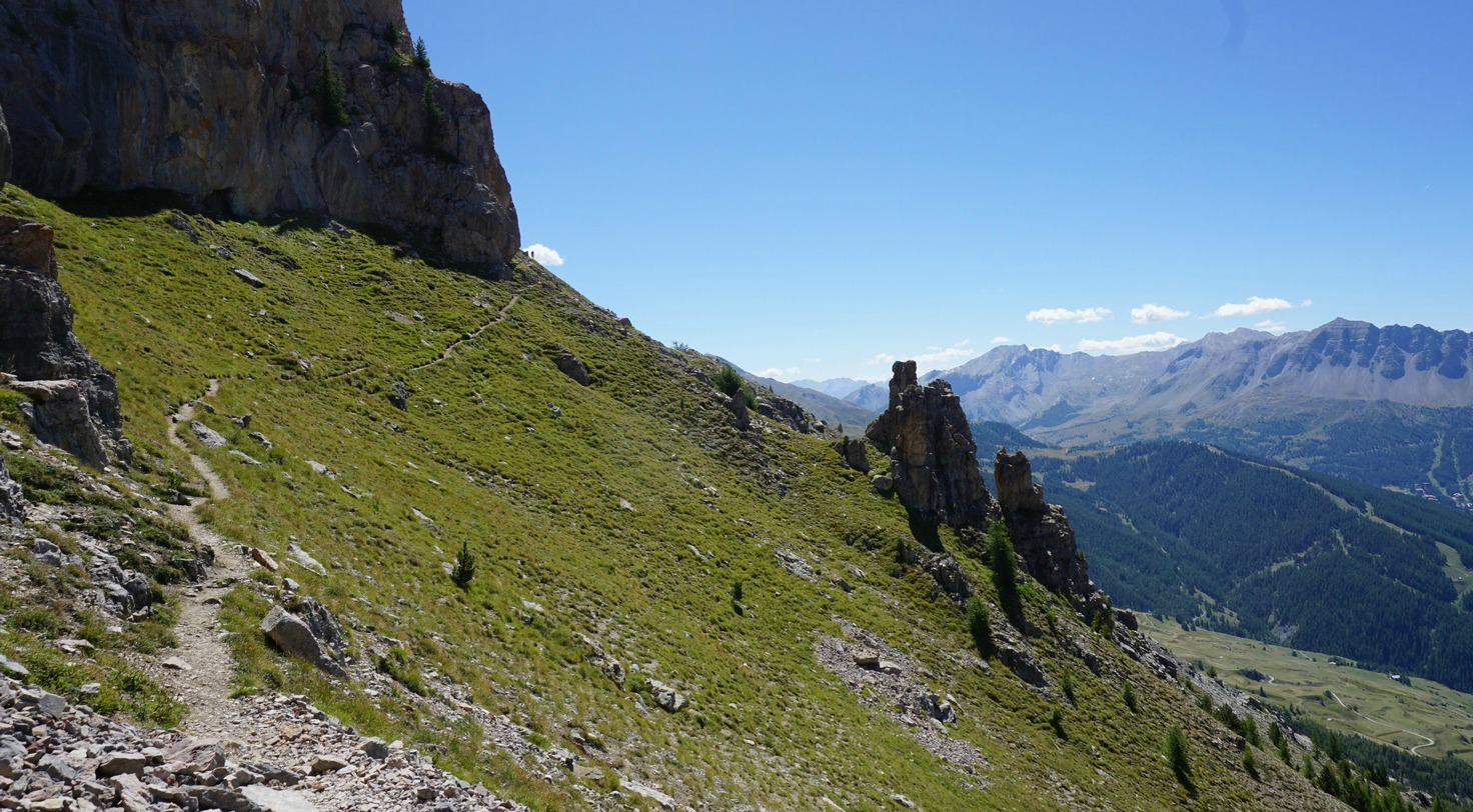
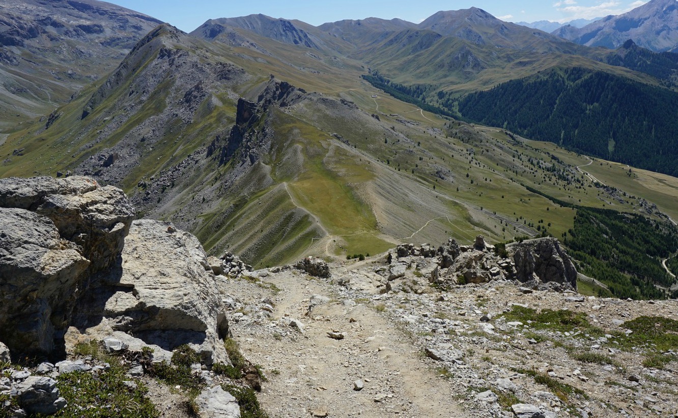
As mentioned before, the network of trails here allows you to design your hike à la carte. This time we wanted to explore the less used trail from signpost #363 at Plan de Prals. We started from Madone de Fenestre, and took the familiar trail from signpost #361 that ascended following the Mercantour Park perimeter. At signpost #363 (4th image above), we forked right, heading southwest towards Tête de la Lave (2375 m), a peak in the middle of the ridge. We have previously hiked the longer version via Cime de la Valette de Prals (2496 m).
Once on the ridge, we could see the main trail continuing northwest, following its southwestern flank. We, however, continued along the ridge proper where another good trail continued to Tête de Cinant (2314 m), and could actually enjoy better views in all directions. Before Baisse de Ferisson, there was still one unnamed peak on the ridge.
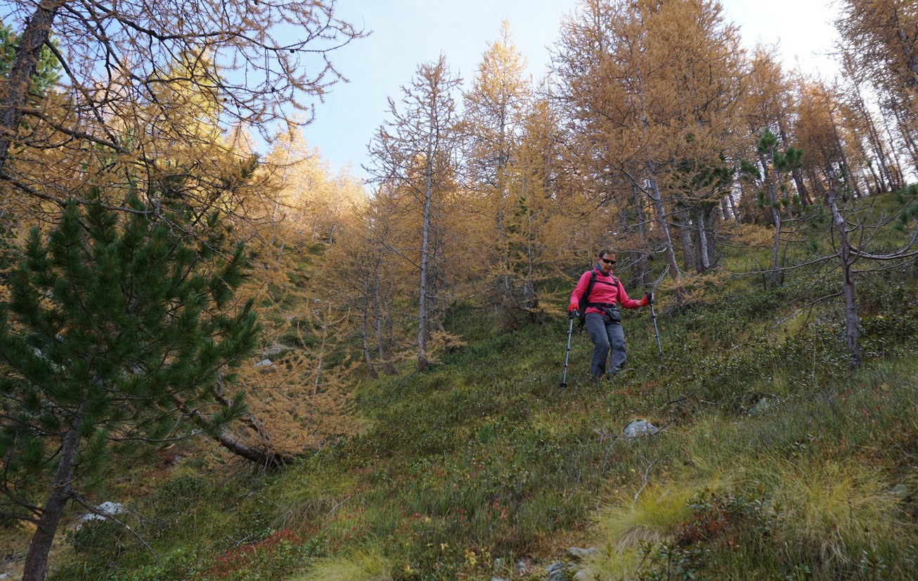
Approaching Baisse de Ferisson, we saw a sheep flock near it, and three large dogs guarding them. One of the dogs was lying on the trail just before Baisse de Ferisson, and the two other dogs started to approach us, barking loudly even though we were several 100 m away. Having had a bad experience with sheep dogs this spring, we decided to make a detour. The only option was to descend “off-piste” along a steep but soft incline, thus avoiding the mountain pass. We knew that the trail back to Madone de Fenestre was somewhere below us, and located it soon enough. Anyway, it was a bit of an adventure!
The shepherds are resorting to more and more desperate measures to protect their flocks from wolves.
The rest of the hike was uneventful, we descended back to signpost #362 and hiked back to our starting point along the trail used in the morning.
Duration: 4h
Elevation gain: 551 m
Distance: 10,2 km
Map: IGN Vallée de la Vésubie 3741 OT


