Hike above Toudon in the Prealps of Côte d'Azur
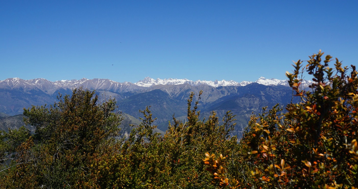
The Riviera back country, Moyen Pays, is magnificent hiking terrain in spring. The days are longer, the trail normally dry, the Mercantour high mountain summits still snow-capped, and the nature is awakening with flowers blossoming and birds singing.
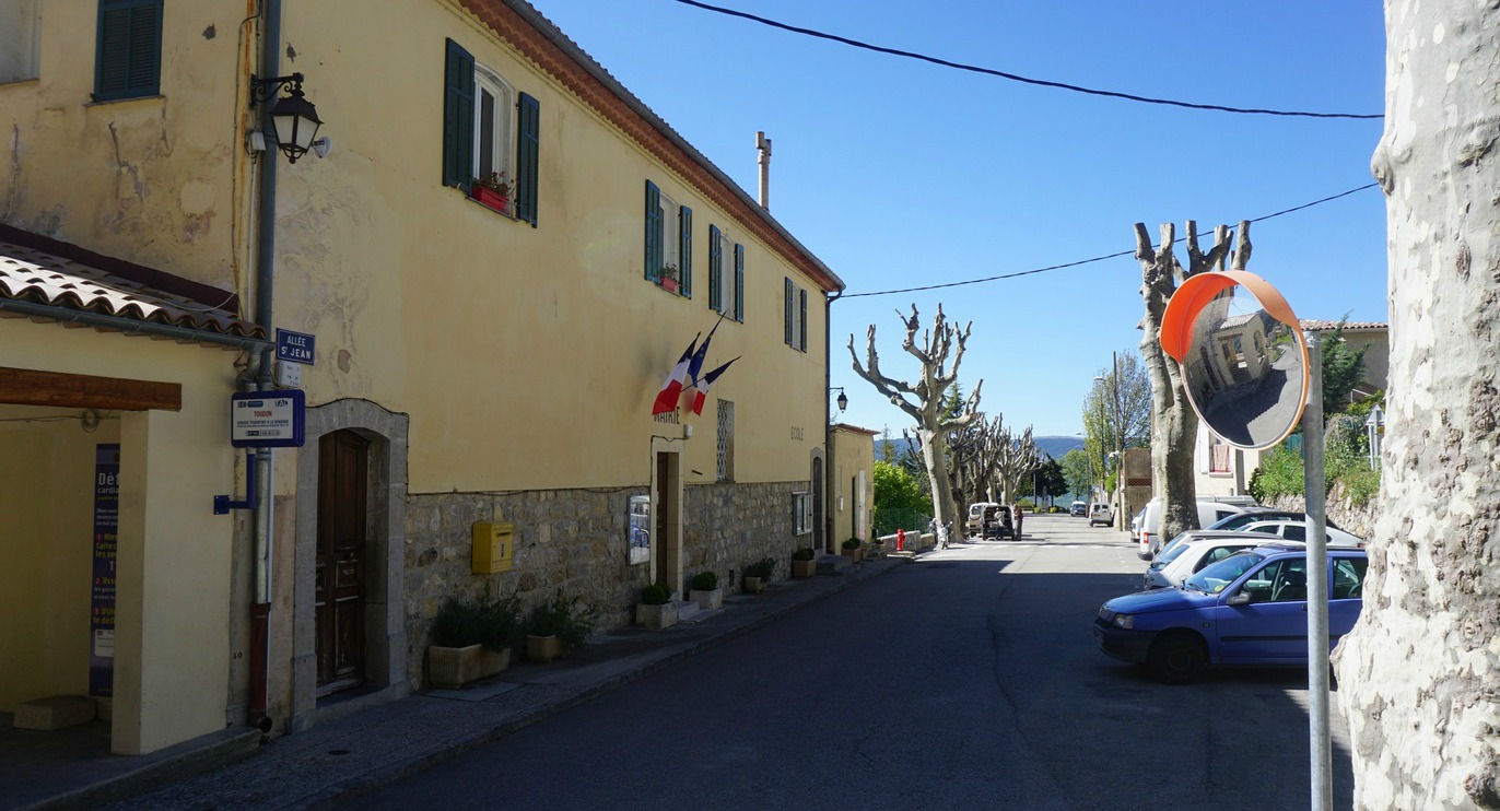
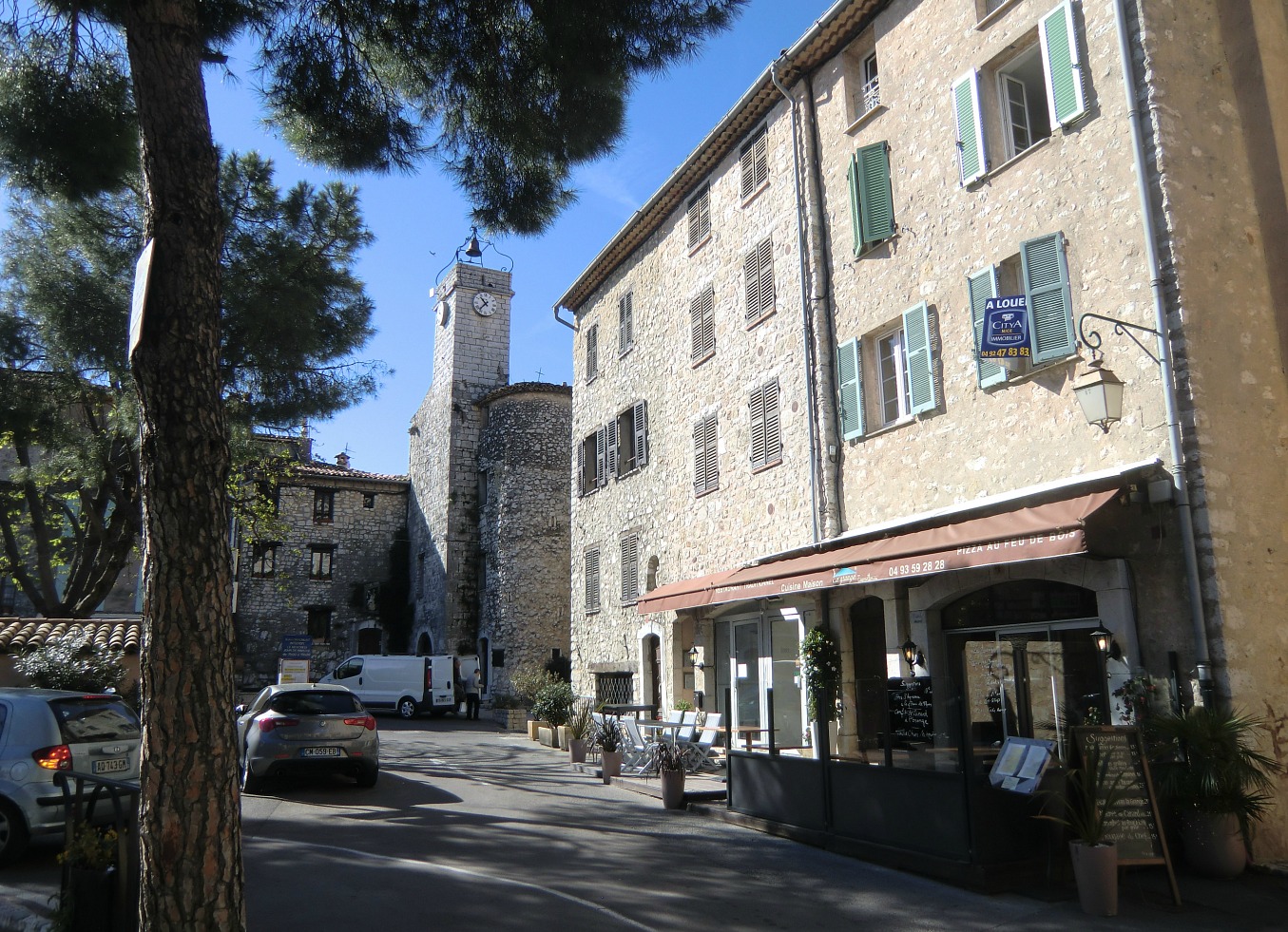
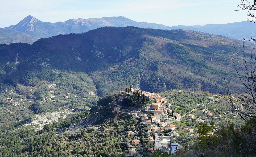
Today’s hike started from the tiny and quiet village of Toudon (970 m) overlooking the Estéron River Valley. The mountains here are part of the Côte d’Azur Prealps. The day was beautiful with blue skies in late April. It took about one hour to get there from Nice, first along the RM 6202 road, them RD 17 to Gilette. From here the sinuous RD 227/27 road forked right and ascended rapidly to about 800-900 m.
We drove past the villages of Revest-les-Roches and Tourette-du-Château, and reached Toudon rapidly.
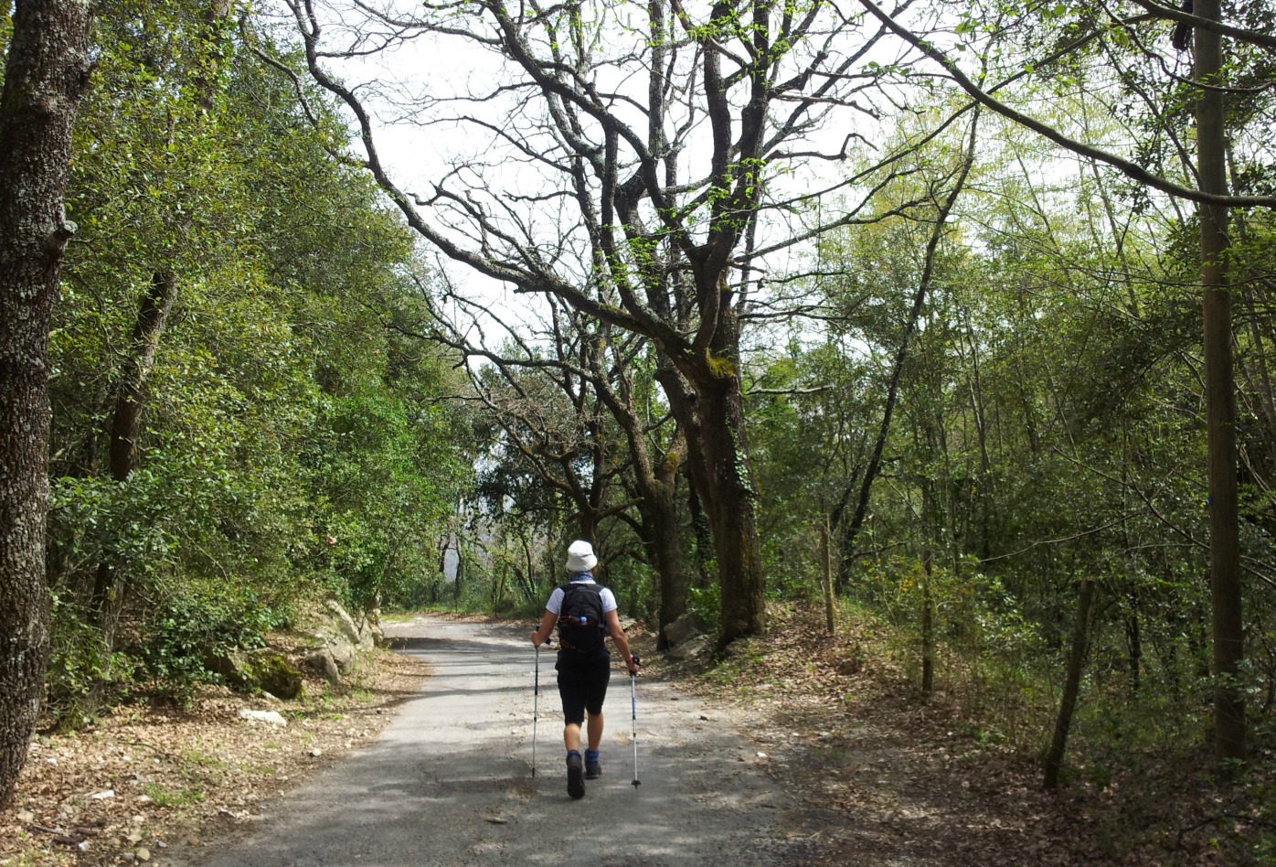
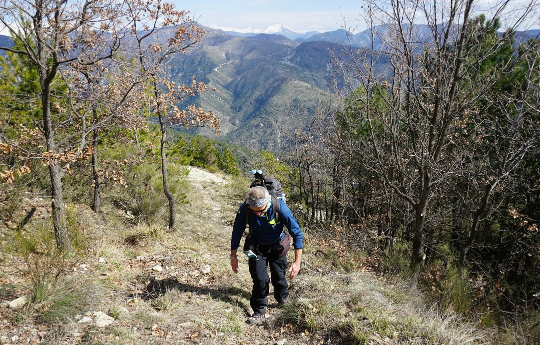
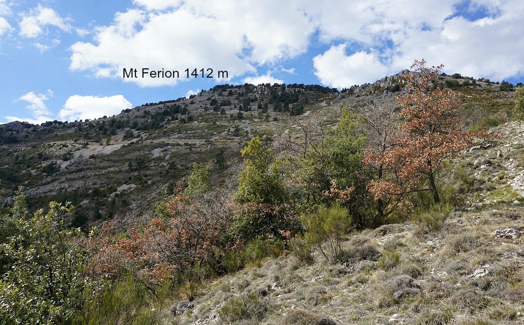
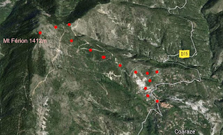
We parked near the mairie. The hike is called Cime des Collettes after the summit along the trail. It is also the highest point (1513 m) of this hike. From the first signpost #61 opposite the mairie the trail ascended steeply passing some houses to signpost #62 in the woods above the village. From here, we forked left ascending gently to signpost #90 and to a plateau called Sebairons. After this, the landscape changed, the trail got narrower and rockier. It was the most adventurous part of the trail. Some sure-footedness was needed before Baisse des Collettes at 1269 m and signpost #91. We continued along a good trail in the forest on the northern flank of the mountain. The scenery and flora there was so different from the dry almost arid southern face of Cime des Collettes.
To reach the summit, we took a short and easy detour from the main trail at signpost #92. The summit was round, with some low maquis vegetation and a 360° panoramic view. Heading back to the village, we re-entered the southern face of the mountain again, and descended in l’adret de la Clappe to signpost #63 then back to #62, and to the village.
Vertical climb: 550 m
Walking time: 3h 30
Map: IGN 3642 ET Vallée de l’Estéron


