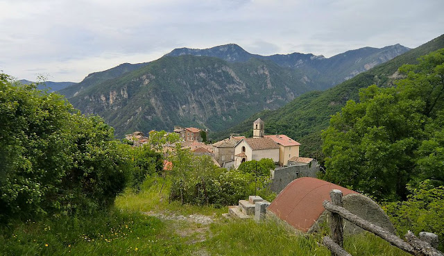
Sometimes an easy walk in fresh and clean air is all you want. This nature walk above the hilltop village of Gourdon (758 m) offers magnificent views on a clear day while the vertical climb is just 250 m.
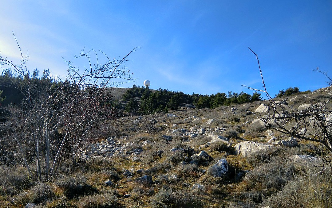
The walk starts from the parking by Chemin des Claps at 1112 m altitude. From the roundabout at the entrance of Gourdon, take the RD12 road to Caussols. Continue about 5.5 km, then turn left and follow chemin des Claps about one km. From Nice, the driving time is about an hour. You’ll see a closed gate and a stone wall, and a narrow paved road behind it leading to the summit of Haut Montet (1335 m). The civil aviation radar dome on the top is clearly visible. In fact, the dome can be seen from many places on the coast. This is also the highest point of the walk.
Immediately left of the closed gate there’s an opening in the wall for walkers. Follow the “Circuit du Haut Montet 2h30” signposts. The trail (yellow marks) first takes you to a ridge frequently used by paragliders. The trail ascends gently along the ridge before turning right joining the paved road up to the summit. It is an easy trail but caution should be exercised in poor visibility, and of course in icy and wintery conditions.
We did the walk on a clear albeit a bit hazy day. When we reached the summit, the Mercantour peaks were actually better visible than the coast.
Descend back to the starting point along the paved road.
Duration: 2h30
Map: IGN Cannes-Grasse TOP 25 no 3643 ET
Map image courtesy of Google Maps
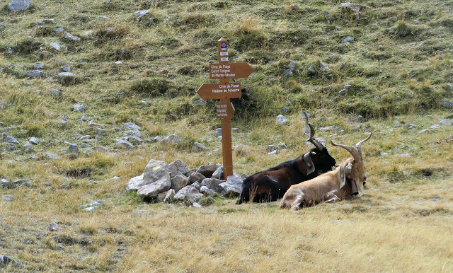
Col de Fenestre (2474 m), the mountain pass at the Italian border above Madone de Fenestre is ideal for spotting ibex(Bouquetin). These nearly became extinct and were reintroduced to Mercantour from Grand Paradiso on the Italian side. Every time we have visited Col de Fenestre we have seen ibexes that were half-tame and very easy to photograph.
Trails ascending from Madone de Fenestre (1903 m) are very popular. You are surrounded by the highest peaks in the region, including Cime du Gélas (3143 m). Driving time from Nice is about 1h 20/ 71 km, first to St-Martin-Vésubie from where the narrow paved road climbs to Madone de Fenestre.
Col de Fenestre was already known by the Romans, and later became an important route between Savoy and Piemonte. Remains of military bunkers (all built by the Italians) from the early 20th century can be seen on both sides of the mountain pass. It is now at the border of the two countries. Before 1947, it belonged to Italy. It was one of the escape routes used by Jews escaping the Nazis from Nice in September 1943.
The trail from Madone de Fenestre ascends along the GR52 trail to signpost #368, then forks right and continues to Lac de Fenestre (2266 m) and further to signpost #369 just below the mountain pass. It is an easy ascent all the way. One can return along the same trail or take the trail from signpost #369 to Pas des Ladres (2448 m) to signpost # 428 then return along the GR52 trail back to the starting point.
Duration: 3 h (4 h via Pas des Ladres)
Vertical climb : 570 m (660 m via Pas des Ladres)
Map : IGN 3741 OT Vallée de la Vésubie
Info in French, via Pas des Ladres (Guide Randoxygéne)
Image of trail courtesy of Google Maps