Le Grand Mont -the highest coastal mountain on the Riviera
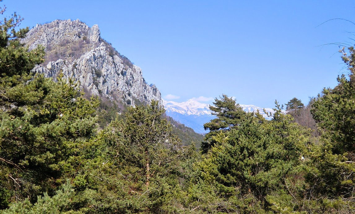
Le Grand Mont (1379 m) or Grammondo as the Italians call it is about 6km from the Mediterranean Sea.
It is situated right at the Franco-Italian border and is considered the highest coastal peak on the Riviera. The descending trail is for the most part on the Italian side. The ascent to this dominating mountain is long but does not require any technical skills.
We have previously began the ascent from the narrow road (310 m) leading to Castellar, but this
time we decided to drive as far as to Castellar (340 m) and start from there. Either way, the first part of the ascent is quite long and strenuous.
From the parking at the entrance of the village, ascend along a steep mostly paved road to Col St-Bernhard. This part of the trail is in fact the same when hiking to Roc d’Ormea.
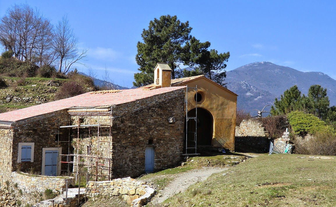
The chapel of Col St-Bernhard has got a new roof recently, but otherwise the restoration is still continuing. Just before the chapel turn right and ascend to the nearby ruins of Morga. From this point, continue ascending along the GR52 trail which later joins a forest track north to Colla Bassa at 1110 m.
At Colla Bassa turn right and start ascending to Le Grand Mont. Follow closely the yellow signs from this point. Just before the summit, the trail gets steeper and requires some easy scrambling. Some patches of snow were still present in late March.
You suddenly meet the summit on the Franco-Italian
border. There’s an iron cross. On a clear day, you have a great panorama, but on our day there was so much haze that you could barely see the coast. It has to be noted that one should not do this hike in poor visibility.
Continue to the summit on the Italian side, also marked with a cross. From there, descend along a crest to a third cross. The clearly visible trail
eventually turns west then south descending gently on the Italian side under the mountain ridge and the border.
You will soon come to Pas de la Corne where you’ll cross the border back to France. The trail from here is clear and well marked passing the ruins of Vieux Castellar. Soon after the ruins you reach the same road used on the way up.
Total ascent from Castellar: 1040 m
Duration: 6 h
Map: IGN 3742OT Nice-Menton Côte d'Azur


