Today’s hike features an alternative itinerary to Haut Montet (1335 m) above Grasse. We have hiked there many times from the parking at about 1100 asl (Chemin des Claps) west of Gourdon. It is the shortest option, and very popular because of easy access.
 |
| Caussols Village |
 |
| GR4 from Caussols |
 |
| GR4 south of Caussols |
 |
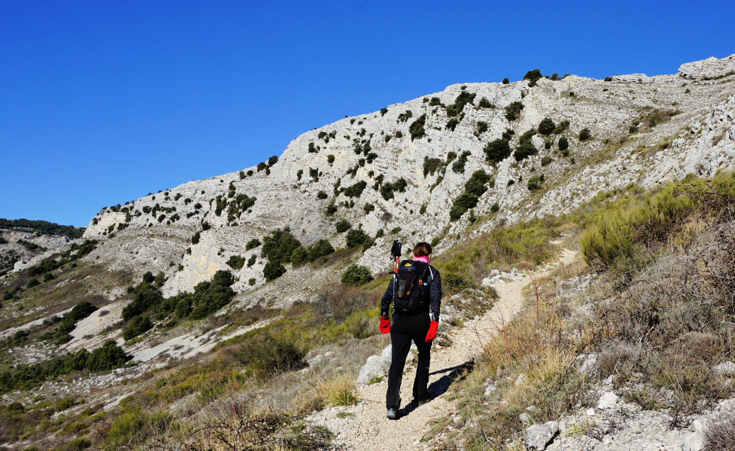
| Ascent to Col du Clapier |
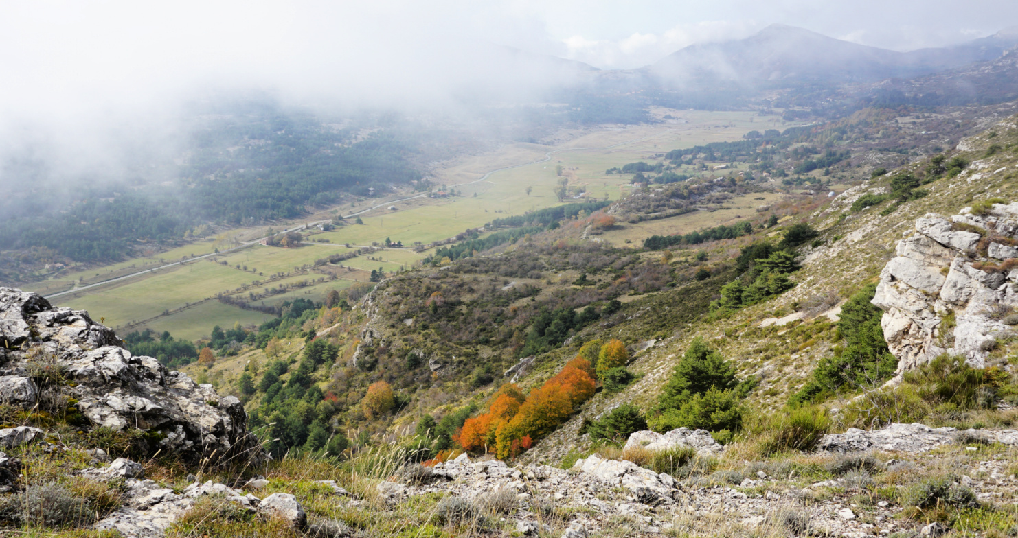
This time we wanted to explore the itinerary from the village of Caussols (1100 m) by the D12 road. We started along the GR 4 long distance trail which ran through the village. We followed the D12 road a few hundred meters to the west to signpost #31 where we forked left (south), following an excellent trail. Some stretches followed dirt or paved roads. The first 2,5 km or so were almost flat. We passed signpost #32, still heading south on the Caussols Plateau. About one km after #32 we started to climb, now heading southeast, to Col du Clapier (1257 m); signpost #35. There were snowy and icy patches here and there.
 |
| Near Col du Clapier |
 |
| Trail to Haut Montet from west |
 |
| Smog above the Riviera |
 |
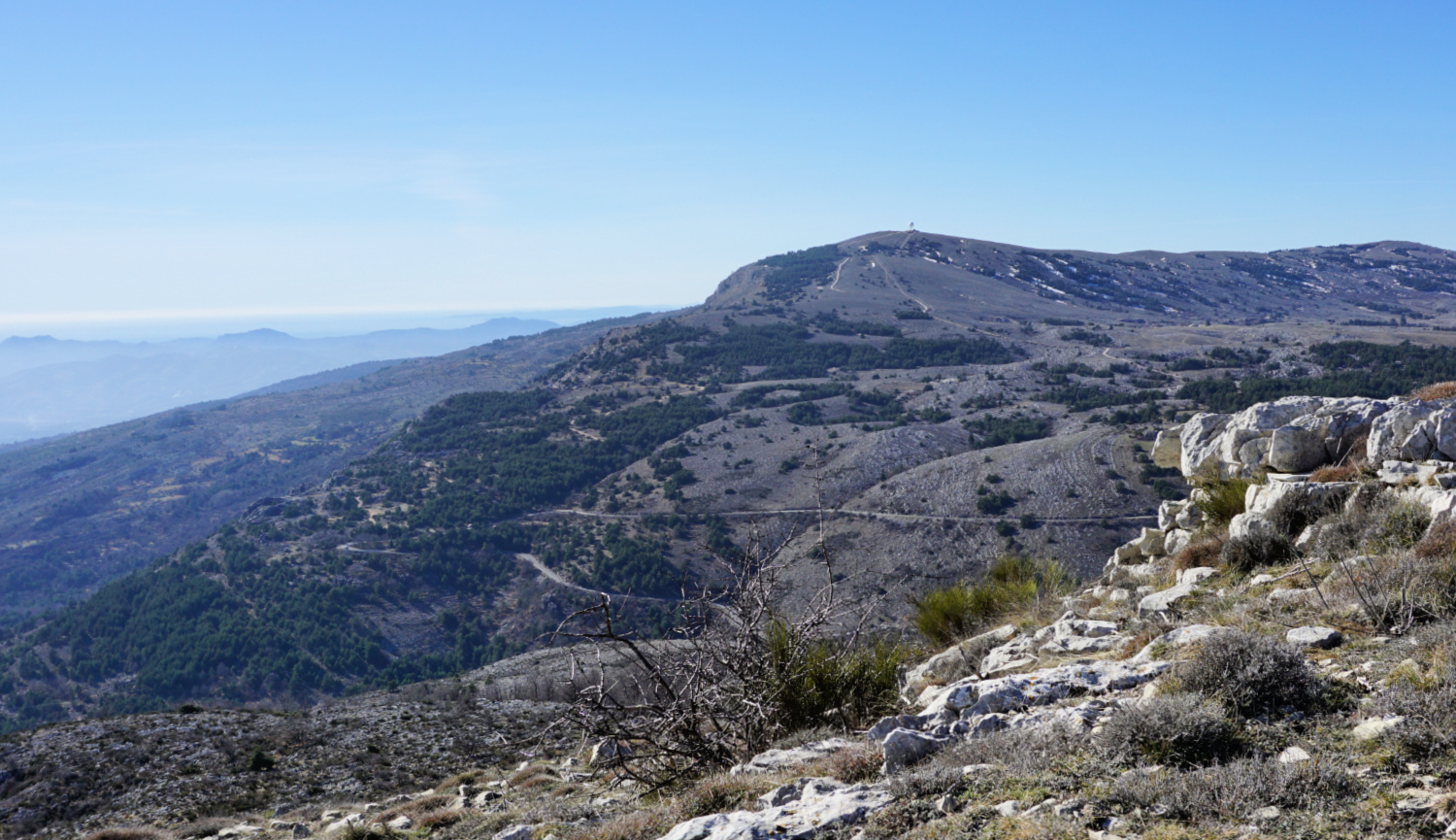
| View to west from Haut Montet |
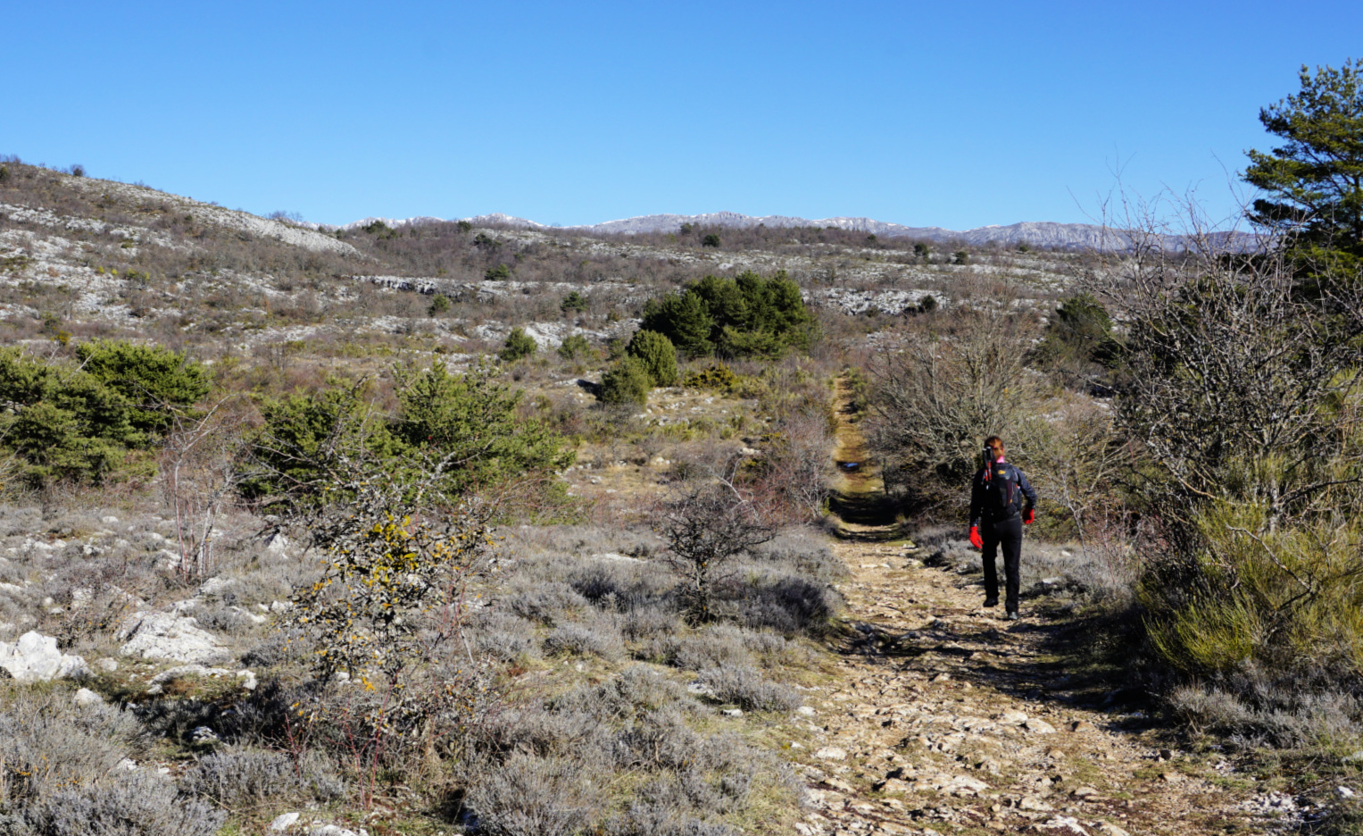
The GR 4 trail continued south towards Grasse. We forked left towards Haut Montet, first passing a mountain top named le Montet (1311 m). The trail undulated in mostly open ground before merging with a dirt track about one km before Haut Montet. The civil aviation radar on the summit can be seen from many places on the coast.
The winter day was cloudless, but haze and smog below us prevented any good views down to the coast whereas the Southern Alpine chain of peaks was well visible in the north.
We returned back to Caussols using the same trail.
Map: Haute Siagne 3543 ET
 |
| Trail Caussols Haut Montet |
 |
| Gourdon and Pic de Courmettes |
We decided to ascend from Bar-sur-Loup to Gourdon via Bois de Gourdon and descend along Chemin du Paradis.
 |
| Bar-sur-Loup mairie |
 |
| Chemin de St-Michel |
 |
| GR51 west of Bar-sur-Loup |
 |
| Towards Bois de Gourdon |
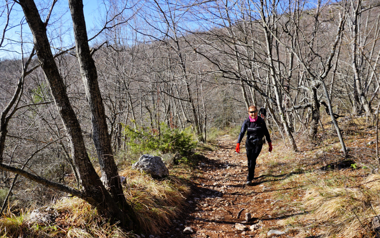
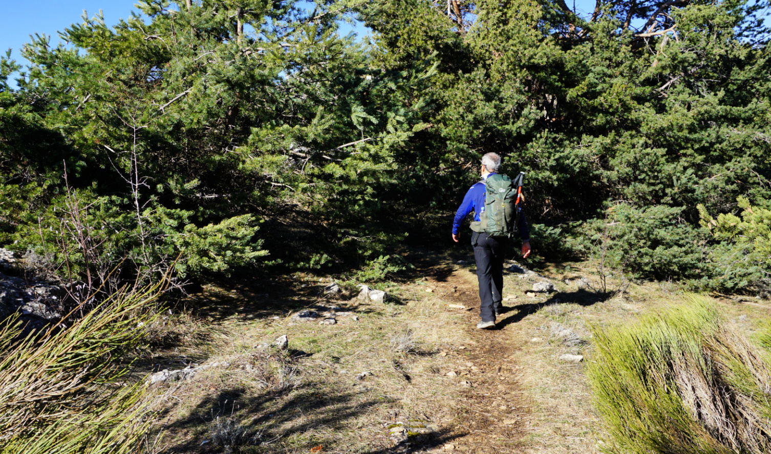
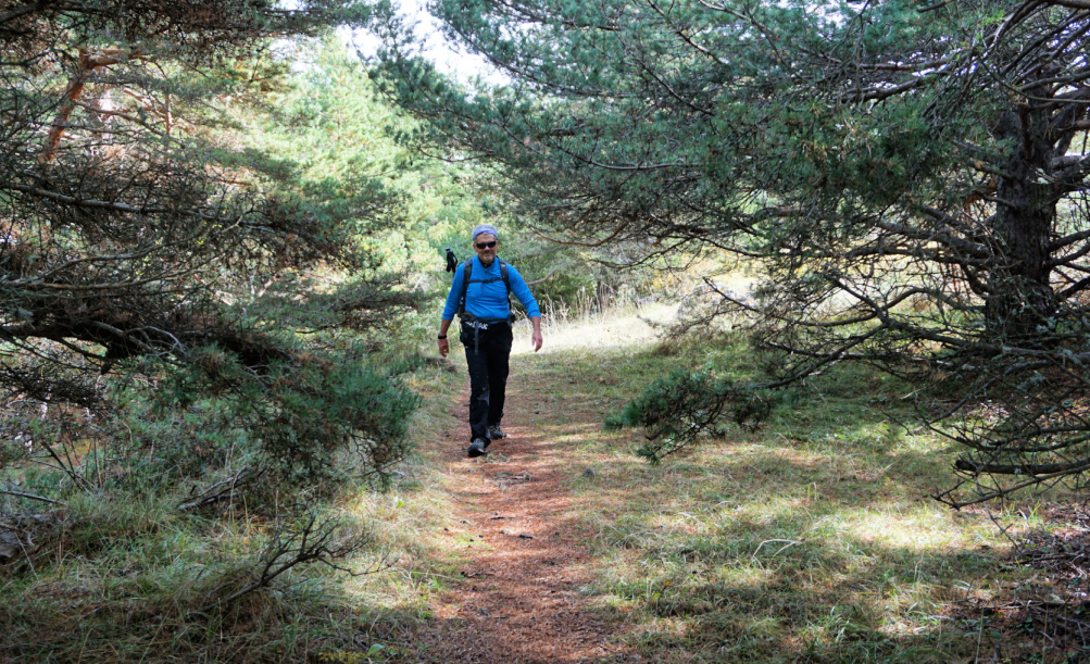
We parked by the D2210 road below Bar-sur-Loup (≈300 m) and climbed to the village square. From there, we headed southwest along Avenue General de Gaulle then Chemin de Saint-Michel. At signpost #21 in front of a small chapel, we forked right and started to climb along Chemin de Bouscarle, passing the last residences. We temporarily merged with the GR51 and followed it to signpost #23. There we forked right, climbed along a forest path to the D3 road and crossed it. We walked past a small parking and signpost #17, and continued along a dirt track 250 m, where signpost #16 guided us to a forest path. We were in Bois de Gourdon which mostly consisted of oak trees.
 |
| Bois de Gourdon |
 |
| Haut Montet seen from trail |
 |
| GR51 under Gourdon |
 |
| Chemin du Paradis below Gourdon |
 |
| Chemin du Paradis GR51 |
 |
| GR51 above signpost#5 |
 |
| Missing bridge over Riou de Gourdon |
We ascended a bit more, now straight north to signpost #15, and merged with the same dirt track. At about 790 m, this marked the highest point of the hike. From here, the itinerary followed the dirt track; we descended along it to signpost #14 where we forked right (east) to a paved road (Chemin du Naouq), and walked to Gourdon (740 m), already visible in front of us.
It was a sunny and warm autumn day, and restaurants and shops in the village seemed busy. After a brief stop, we headed back to Bar-sur-Loup. We descended steeply along the familiar Chemin du Paradis trail, also GR51. At signpost #4, we forked right, still following the GR51 trail. The old narrow iron footbridge over Riou du Gourdon had disappeared, and a new one was under construction. Fortunately, the stream bed was dry and could be crossed.
At signpost #18 we left the GR51, forked left and descended back to Bar-sur-Loup.
It turned out to be a great loop mostly along good trails, dirt tracks and paved roads. The rocky trail down from Gourdon always requires surefootedness and some gymnastics was needed to cross the bridgeless stream bed.
Climb: 540 m (about 30 m less if you start from the main square)
Map: 3643 ET Cannes Grasse Côte d’Azur
 |
| Bar-sur-Loup Gourdon loop |
We have previously hiked to Colle de Rougiès (1334 m) by crossing the Caussols Plateau from Les Claps. On a clear day, the ridge offers great hiking, with good trails and super views. We now wanted to explore another itinerary starting from Gourdon.
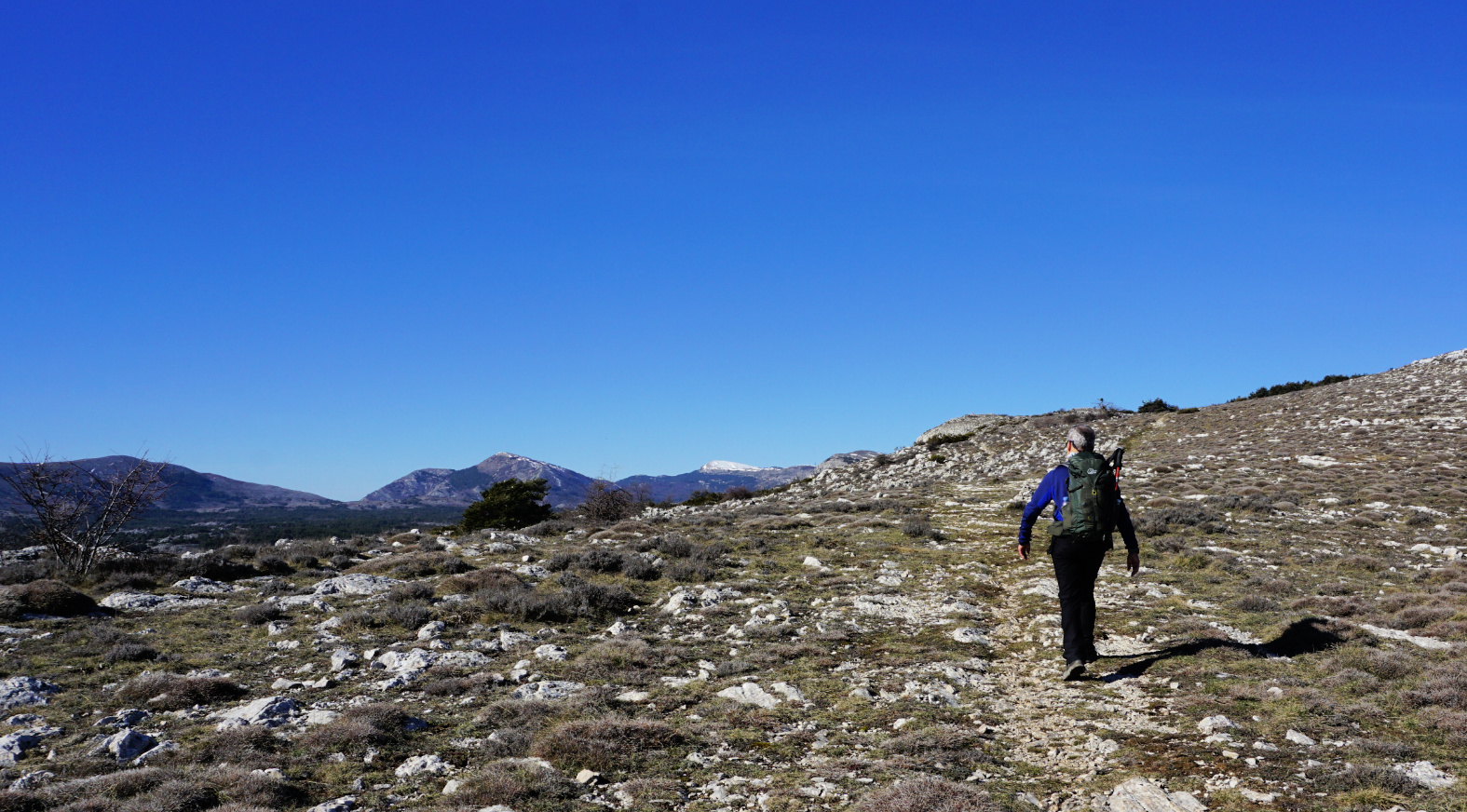
We drove to Gourdon, turned left at the village entrance taking D12 road which we followed 1.8 km as far as to a parking (840 m elev.) on the right-hand side of the road. From the parking (signpost #12), it took us less than 30 min. to reach the western Col de Cavillore (1030 m elev.). We headed north on Plateau de Cavillore and soon merged with the GR51 trail (signpost #11). We followed the GR51 as far as to the next crossroads at signpost #163 where we forked left.
We ascended along the wide eastern slope of the ridge to signpost #46. This is where we ascended to from the Caussols Plateau on our previous hike. We continued along the ridge, still climbing a bit more. The familiar cairn on top of Colle de Rougiès became visible. Fortunately, the winter day remained clear, and the scenery was super!
We returned along the same trail. There are several avens, or pit/sink holes in this limestone terrain, one just beside the path. Another reason to stay on the trail!
Starting the hike from the Village of Gourdon would take about 40-45 min more each way and include about 100 m more climbing.
Duration: 4 h
Climb: 530 m
Distance: 12 km
Map: Cannes Grasse Côte d’Azur 3643 ET
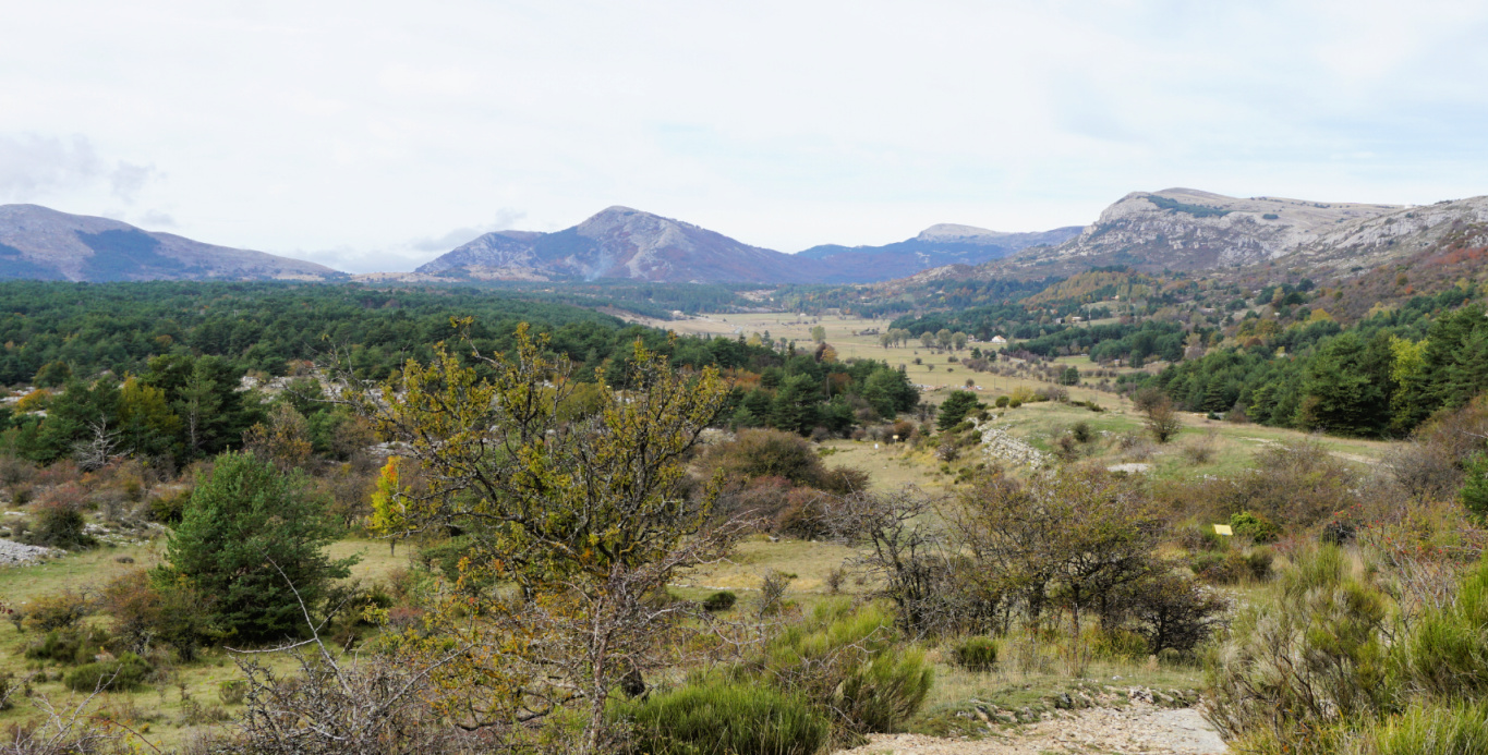
The commune of Caussols (Village at 1130 m elev.) located in Grasse hinterland, northwest of Gourdon offers several interesting hiking opportunities. Paved roads reach over 1000 m elevation which makes the region popular as many of the summits and ridges can be reached with a relatively moderate effort.
We have previously hiked to Haut Montet (1335 m; Civil Aviation Radar) which is actually located in the neighbouring commune of Gourdon.
This time we wanted to explore the ridge north of Plateau de Caussols, comprising La Colle de Rougiès (1334 m). Instead of parking by the D12 road, we drove up to Les Claps Parking where the trail to Haut Montet starts.
We walked back 200 m to signpost #43 and headed north along a wide trail, an ancient Roman Road. Several avens, sinkholes, were marked in the map next to the trail. We did not explore them as they were mostly covered with vegetation.
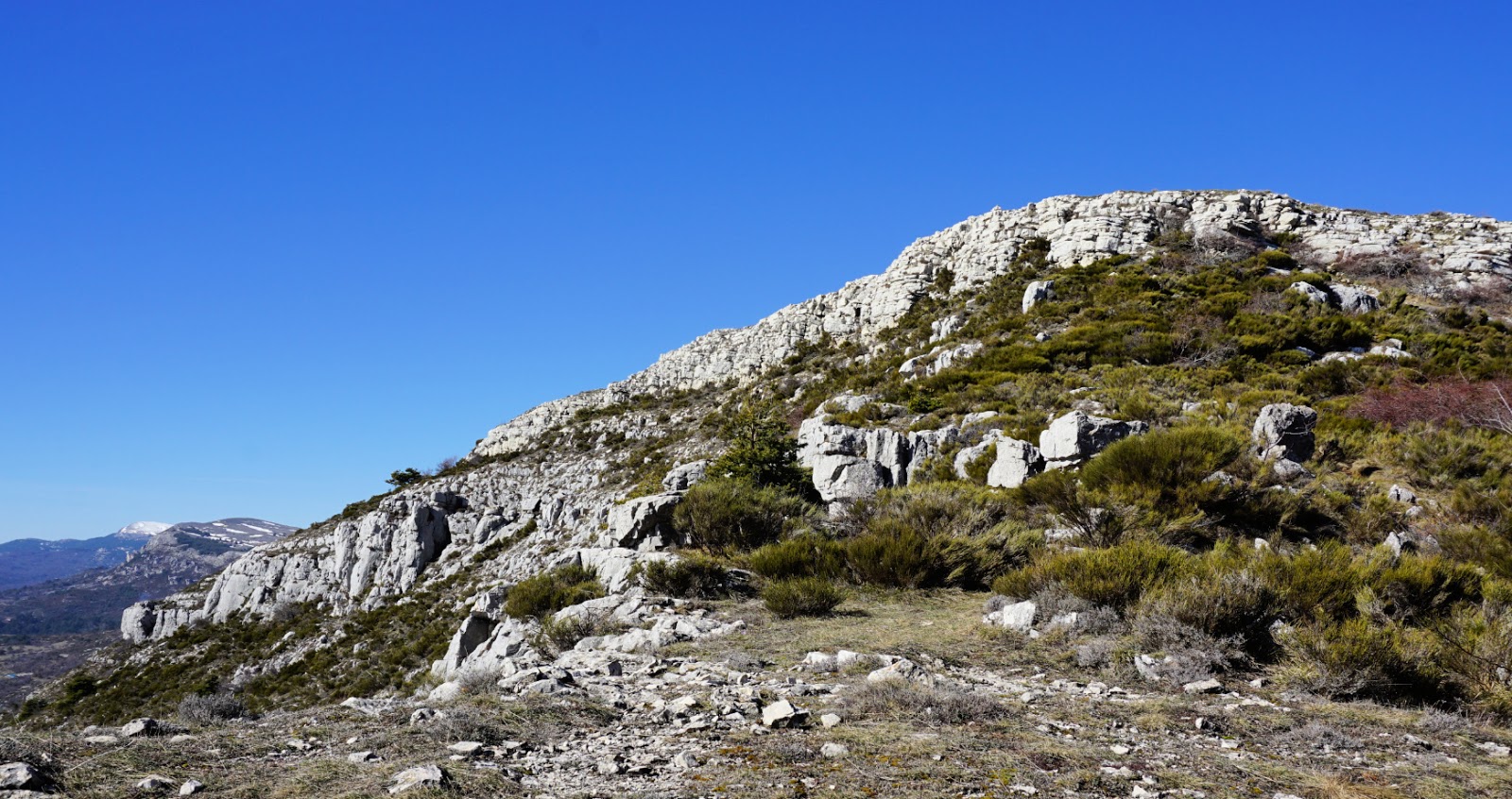
After about 600 m, we forked right (northeast) along another wide trail and soon came to the D12 road and Col de l’Ecre (1120 m). We followed the road north about 300 m to signpost #45. We forked right (east) to a marked trail and soon started to climb, eventually in a steep but short slope to signpost #46 which marked the eastern point of the ridge. Staying on the ridge, we headed west towards La Colle de Rougiès, climbing slowly mostly in open terrain, sometimes in a beautiful pine wood. The trail was soft and good.
La Colle de Rougiès summit was marked with a large cairn. In the west, we saw the Côte d’Azur Observatory on Plateau de Calern and Montagne de Thiey (1553 m) further away above the Plateau of Caussols. A wide trail continued to the observatory and beyond.
Our trail followed the edge of the ridge a few hundred meters to signpost #47. We then descended steeply, the trail was rocky and later somewhat overgrown. There were parallel markings (yellow) and cairns here and there. We came to a paved road which led us to the D12 road. We crossed it, and started to ascend along the pebbled Roman Road, Voie Romaine, which we followed back to our starting point.
Map: Cannes Grasse Côte d’Azur 3643 ET