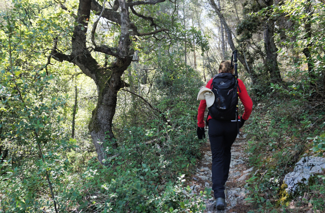
Gigondas: Short loop hike above the village
The picturesque village of Gigondas in the Vaucluse Department is famous worldwide for its excellent wine. The following hike suggested in the TerraRando guide offers great views down to the village as well as the Dentelles and the vast Rhone River Valley.
 |
| Gigondas main street |
 |
| Chemin de la Canal |
 |
| Crossroads near vineyard |
 |
| Climbing to Col du Cayron |
We opted for the shorter version of the hike. Starting from the main square, we followed Rue Eugène Raspail less than 200 m, forked right at the signpost showing Col du Cayron, Les Hospices etc. and soon continued along Chemin de Font Saine. After almost 1 km from the start, the shorter itinerary forked right just before a small vineyard. We ascended along a narrow trail, now heading south. Following the signs and markings, we eventually reached a wide track and climbed to Col de Cayron (394 m).
We forked right (west) still along a wide track, and reached a crossroads after 1,1 km where we took a detour (some stairs) to Rocher du Midi (470 m), the highest point of this hike with great views of the surrounding landscape.
We descended to Chemin des Dentelles de Montmirail (partly paved) and followed it back to the village.
It was a perfect morning hike and we were back for lunch in one of the Gigondas restaurants.
 |
| Dentelles above Gigondas |
 |
| Hills above Gigondas |
 |
| Stairs to Rocher du Midi |
 |
| Rocher du Midi Gigondas |
Distance: 6 km
Climb: 250 m
Duration: 2 h


0 comments:
Note: only a member of this blog may post a comment.