Camp des Fourches to Col de Pouriac
The northern corner of Alpes Maritimes offers quite peculiar alpine
sceneries and hiking itineraries during the summer months. The road over
Col de la Bonette closes sometimes quite early depending on weather after
which access to today’s starting point at Camp des Fourches (2240
m) is not anymore possible.
We had previously hiked to
Pas de la Cavale, and now wanted to explore the trail to Col de Pouriac (2506 m)
at the Italian border.
|
|
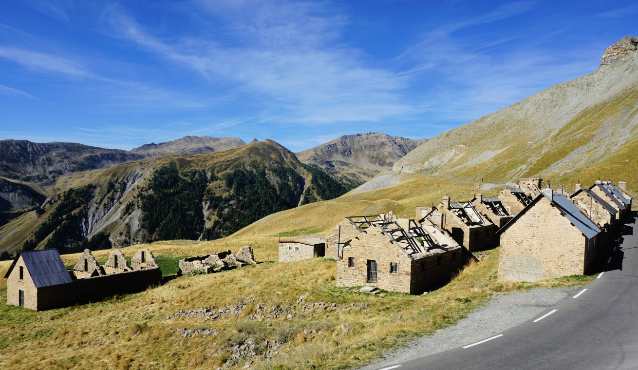
Camp des Fourches
|

|
|
GR5 east of Camp des Fourches
|
|
|
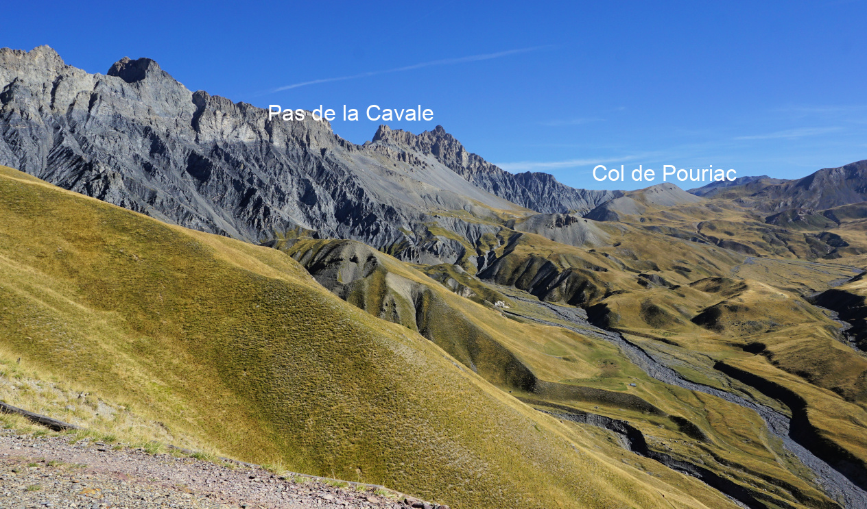
Pas de la Cavale and Salse Morene
|
|
|
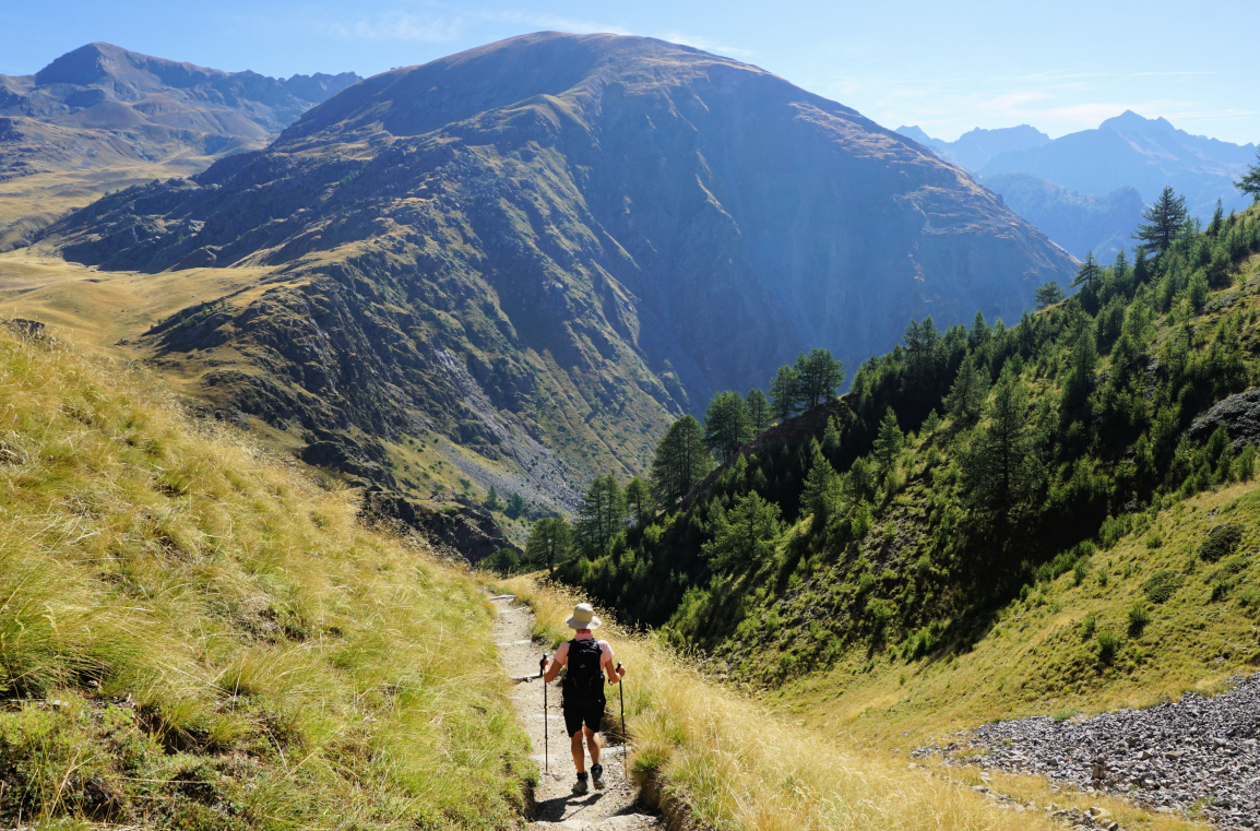
GR5 from Col des Fourches
|
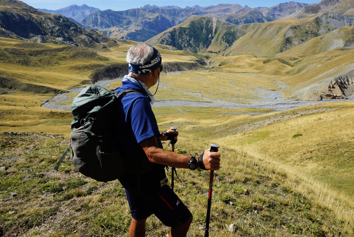
From Camp des Fourches we headed east along the GR5 trail, reaching
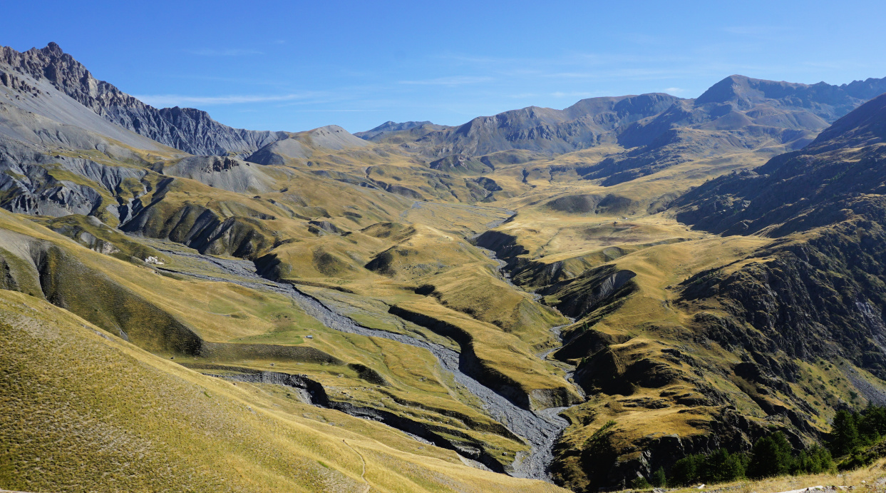
Col des Fourches (2261 m) in less than 10 minutes. The vast area named Salse
Morene was now below us, circled by majestic peaks. Spanish soldiers had
coined it Salsa Moreno as the ravines turned to brownish sauce after heavy
downpours.
Our day, however, was clear and dry. The scenery was just amazing. We
descended 180 m to the bottom of the valley known for its sinkholes,
dolines. We crossed the dry Ravin de la Tour then passed a stone hut
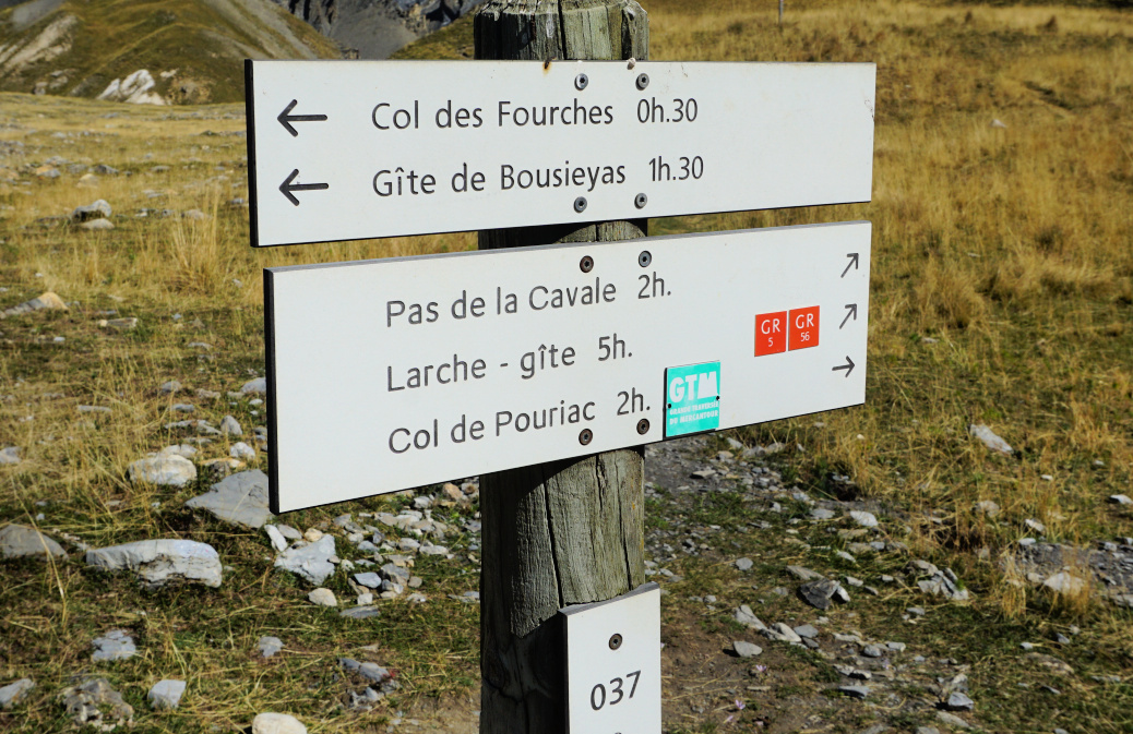
seemingly used by sheep farmers. Soon after the hut, we reached a crossroads
and signpost #37. The GR5 trail forked left and a smaller unmarked trail
turned to the right. Our trail was the middle one, and marked both with
yellow (PR) and white/red as it was also the itinerary of the
Grande traversée du Mercantour, GTM (17 days!).
|
|
Signpost#37 to Col de Pouriac
|

|
|
Riverbed in Salse Morene
|
|
|
Halfway to Col de Pouriac
|
|
|
Nearing Col de Pouriac
|

|
| Col de Pouriac |
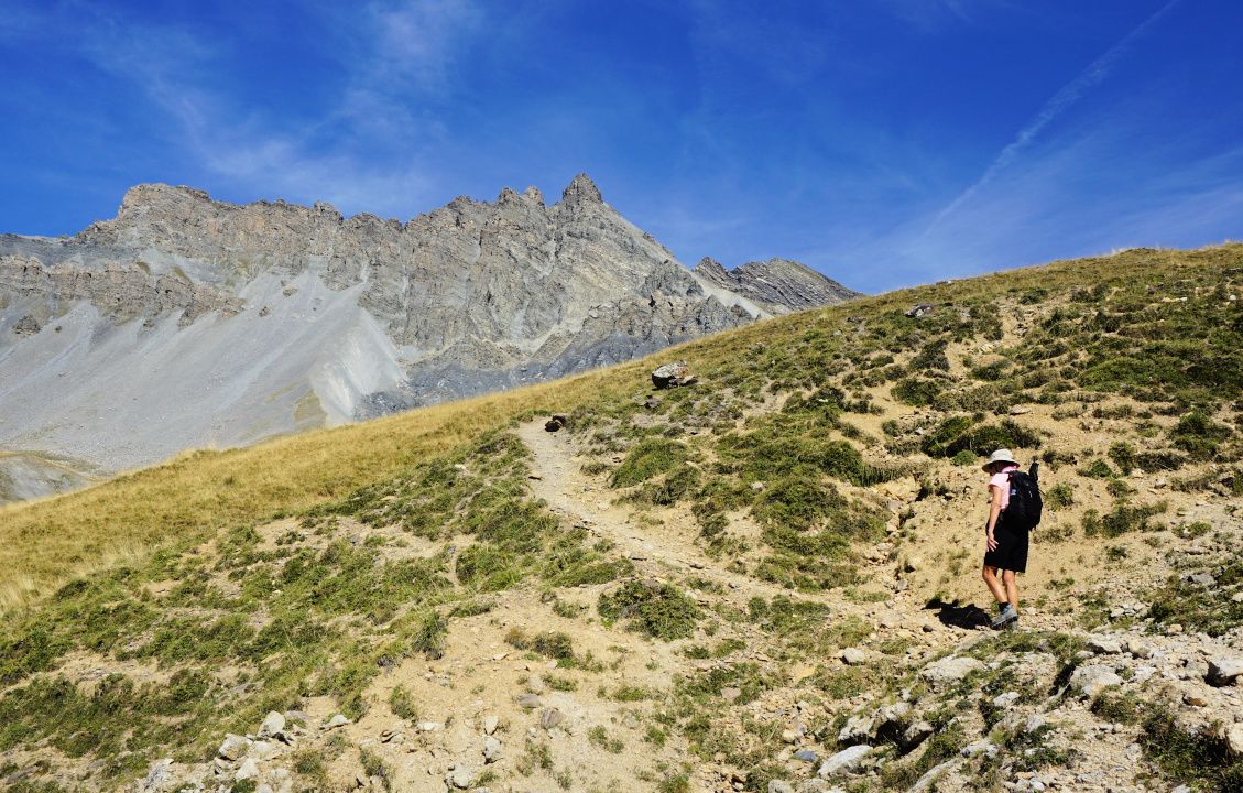
We continued the ascent, heading northeast. Most of the trail was grassy and
soft, easy on your feet. All of the itinerary ran inside the Mercantour
National Park. We hiked past a few unnamed lakes before reaching the flat
mountain pass of Pouriac (signpost #39). The long GTM trail descended to
Ferrière in Italy before re-entering France via Col du Fer.
We enjoyed the early autumn tranquillity together with numerous marmots, and
returned to Camp des Fourches using the same trail.
Distance: 10 km
Climb: 640 m
Duration: 4h 15
Map: Haute Tinée 1 3639 OT




0 comments:
Note: only a member of this blog may post a comment.