Limone Piemonte: Hike to Fort Giaure
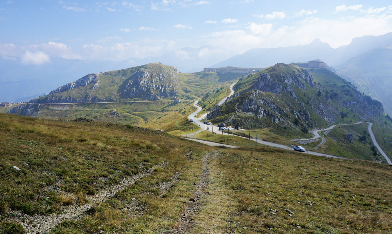
According to some historians, the first road over the mountain pass of Tende,
Col de Tende, was constructed by Phoenicians and later maintained by Greeks and Romans.
In the 19th Century, numerous forts were erected on both sides of the col by
the Italians to protect the Piemont Region. By the end of the 19th Century, a
road and railway tunnel was constructed.
|
| Col de Tende |
|
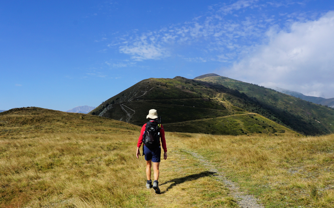
| Near Col de Tende |

|
|
Fort de la Marguerie
|
After the devastating storm Alex in October 2020, both the road and rail
connections were cut, and the road tunnel remains closed. Now it is possible to reach the pass by car from Casterino on
the French side using a narrow unpaved road best suitable for 4X4s. All the
others driving from Alpes Maritimes need to circle via Col de la
Lombarde above Isola2000 (as we did) or take the longer coastal route
via Imperia and Cuneo to reach Limone.
Having Limone as our base, we drove up along a paved road to Col de
Tende, Passo della Tenda (1871 m). It was a busy day, and the
dirt track to Casterino was used by numerous motorists including jeep safari
groups. We parked at the col proper a few 100 m past Chalet le Marmotte.

|
|
Under Fort Pernante
|

|
| Fort Pernante |
|
|
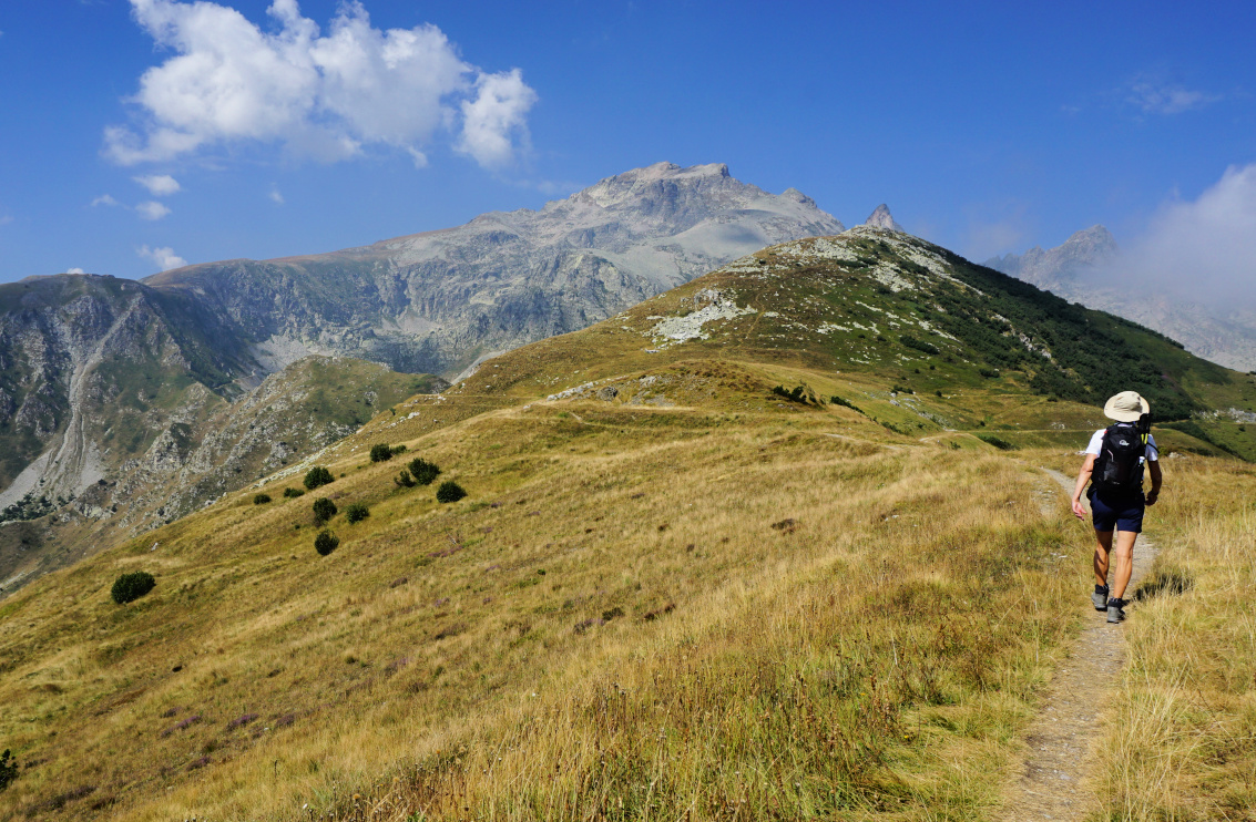
West of Fort Pernante
|

|
| Roche de l'Abisse |
Having hiked to the east from the col some years ago, we now wanted to
explore the itinerary to the west as far as to Fort de Giaure (2254
m).
From the col (signpost #340 on French maps), we climbed straight to Fort
Pernante (2119 m) along a narrow trail apparently marked for mountain bikers
as well. Fort de la Marguerie was well below us, next to the Casterino dirt
road. All the fortresses are today on the French side of the border. We
descended a bit, and hiked along the southern flank of Cime de Salante.
Our goal was visible in front of us, its northern flank very steep and
rocky. Maps advise to use the wide zigzagging old military trail. However,
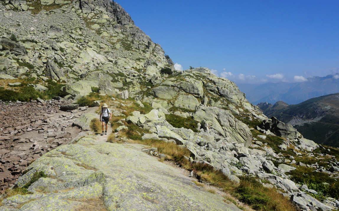
we came to a sign showing “itineraire”. The original trail was blocked by a
rock slide higher up. We followed the instructions, and had to negotiate
some rocky stretches here as well before reaching a small lake, now dry. We
turned southeast and merged with the main trail above the rock slide. Some
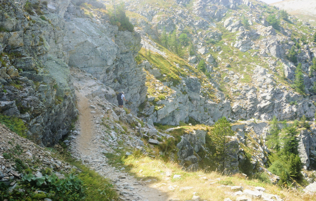
parts before the fortress were narrow and exposed. At one point, a wire rope
was installed.
From the fortress, the panorama was excellent to both countries. From
signpost #380 west of the fort, one trail descended down to Casterino while
the other one ascended up to the nearby Roche de l’Abysse (2755 m).

|
|
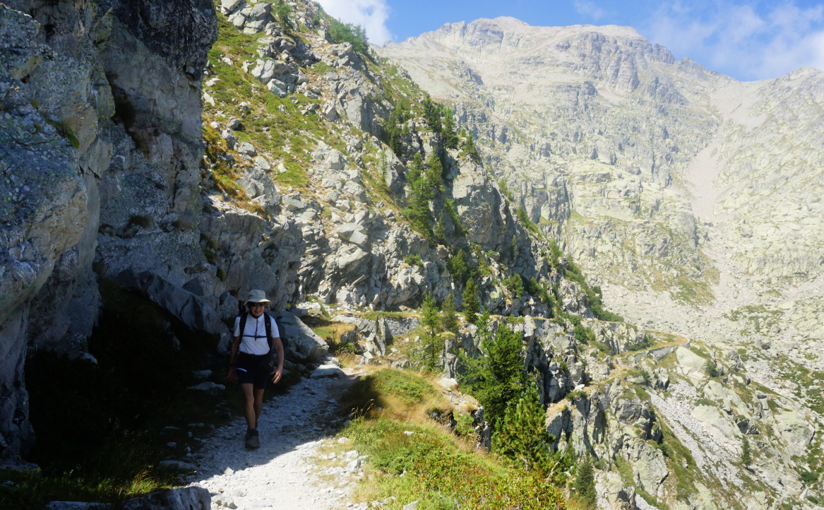
Detour to Fort de Giaure
|
|
|
Detour trail higher up
|
|
|
Exposed part of trail Fort Giaure
|

|
| At Fort de Giaure |
|
|
Narrow trail near Fort de Giaure
|
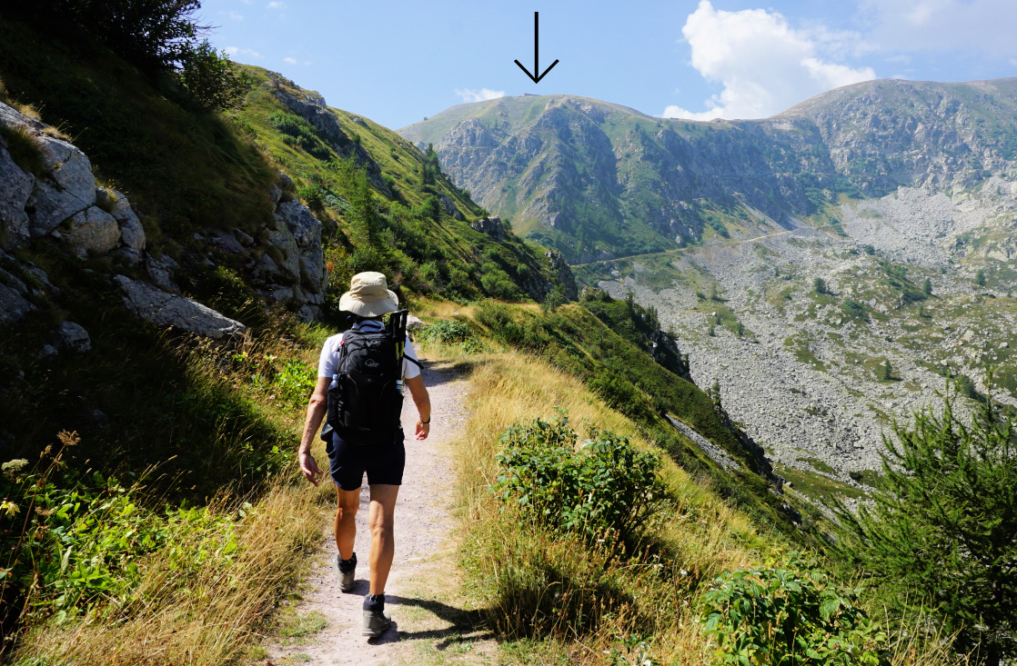
On the way back, we first used the same trail then a smooth quasi horizontal
trail circling north of Cime de Salante then north of Fort Pernante before
descending back to our starting point.
Distance: 11,5 km
Climb: ~500 m (inaccurate elevation data from two apps)
Duration: 4h 30
Map: 3841 OT Vallée de la Roya




0 comments:
Note: only a member of this blog may post a comment.