Auron: Bois Gaston Ridge
In Auron, we wanted to explore a less frequented trail on a picturesque ridge, Crête de Bois Gaston. It turned out to be a good and efficient morning exercise.
 |
| Sauma Longa viewed from Auron |
 |
| Start in Bois Gaston |
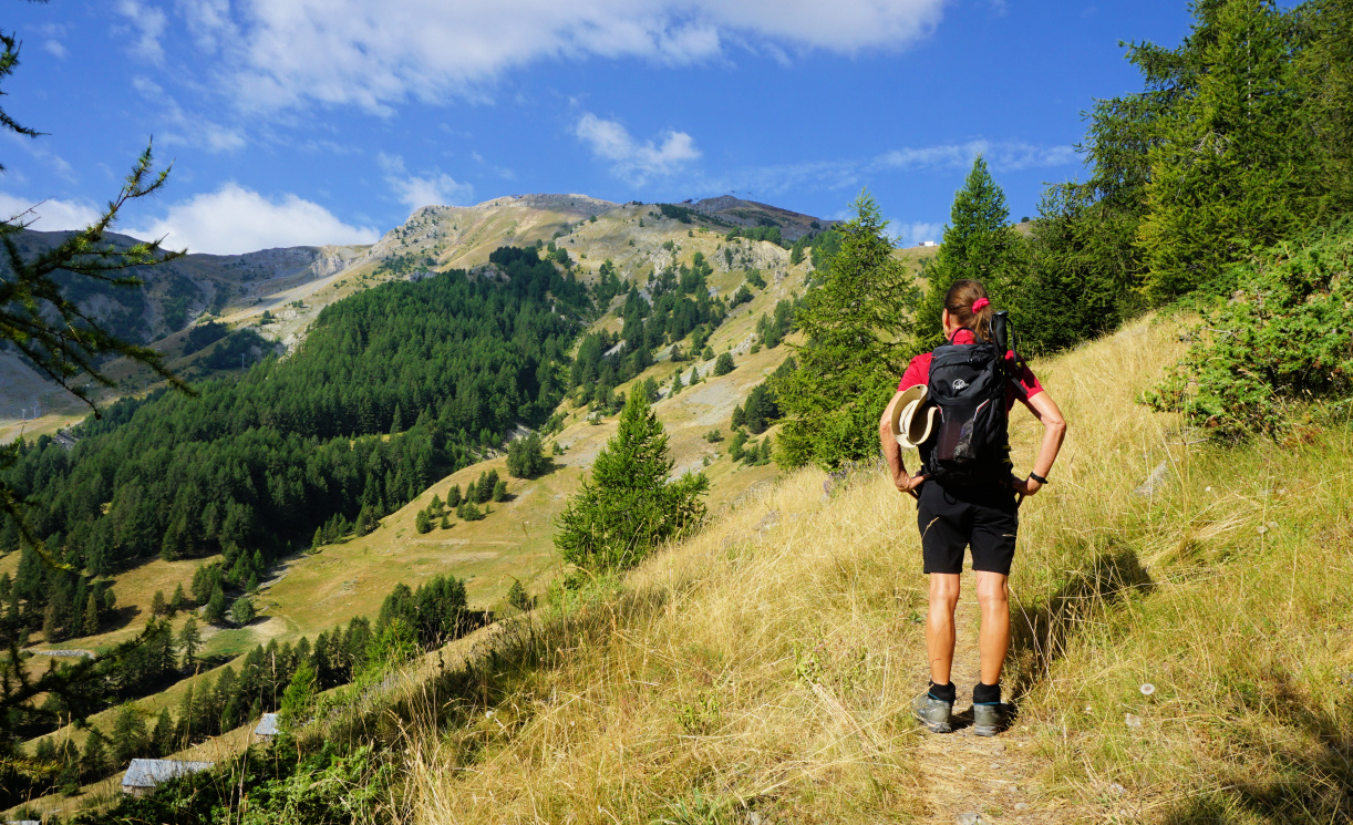 |
| Bois Gaston Ridge |
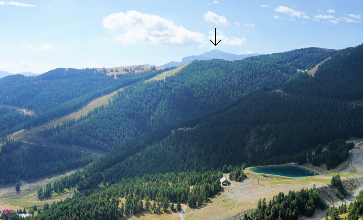 |
| Mont Mounier in the south |
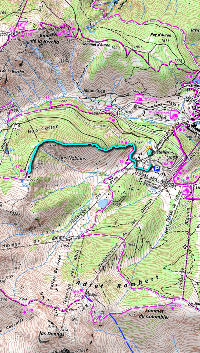
We drove to the upper large paved parking (~1650 m) which was almost empty. We walked along a wide dirt track (easy ski slope in winter) to signpost #18, forked left and started to climb in Bois Gaston which mainly comprised a larch wood. The trail was good but very steep and in fact climbed continuously about 400 m before levelling off. Higher up, clearings gave us some very nice views down to Auron. Mont Mounier became visible in the south.
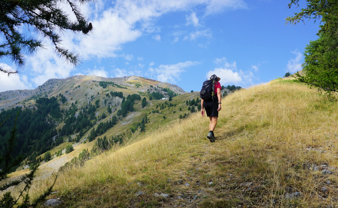 |
| Bois Gaston Ridge higher up |
 |
| Tinée Valley in morning haze |
 |
| Mont Tenibre and Corborant |
 |
| Bois Gaston Ridge steep trail |
At about 2070 m, the trail (yellow markings but only here and there) turned left (southwest) and we briefly entered a wood before reaching 2125 m and the ridge next to Sauma Longa (or Sauma Longue; signpost # 17), a small wintertime mountain restaurant now deserted.
We returned along the same trail.
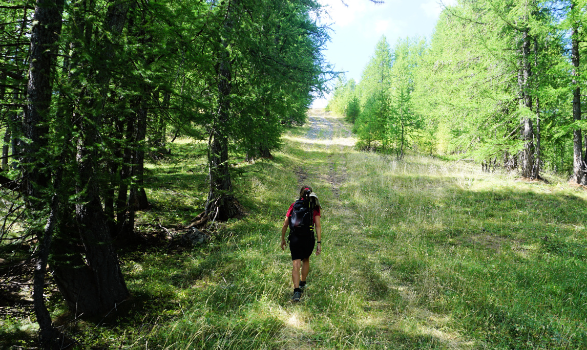 |
| Last push to Sauma Longa |
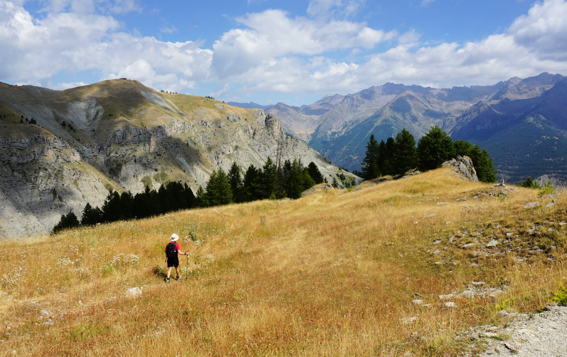 |
| Near Sauma Longa |
Climb: 474 m
Distance: 4,7 km
Duration: 2h 40 active
Map: 3639 OT Haute Tinée 1 Auron




0 comments:
Note: only a member of this blog may post a comment.