Monêtier-les-Bains: La Cucumelle hike
When hiking near Serre Chevalier the day before, we observed the cone-shaped light coloured peak of la Cucumelle (2698 m) in the northwest. Studying the map, we found out that a trail goes to the summit from the Col de la Cucumelle (2501 m).
We took advantage of the le Bachas chairlift which in the summer season ran from Monêtier-les-Bains (1440 m) to 2174 m.
 |
| Near Bachas chairlift |
 |
| GR54 near Bachas |
 |
| Grand Galibier seen from Bachas |
 |
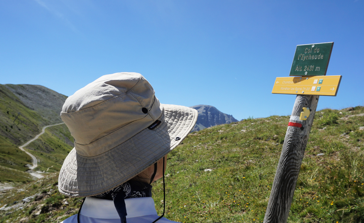
| Col de l'Eychauda |
From the chairlift, we followed the GR54 trail south to Col l’Eychauda (2431 m). Most of the trail followed a wide dirt track which made the itinerary less interesting although the views were spectacular. Before Col l’Eychauda we had our goal on our left-hand side. The western flank of la Cucumelle was precipitous , and continued to the north as a ridge named Rocher du Grand Pre.
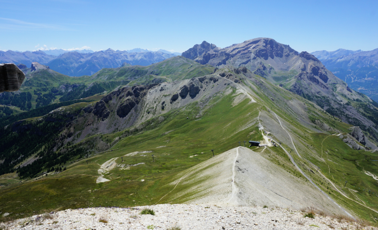
We ascended to Col de la Cucumelle. The steep trail to the summit was entirely visible on the almost white southern flank. Nearing the summit, the incline became steeper and steeper but the grip of our hiking shoes held on the slate rock surface. Not recommended in bad weather!
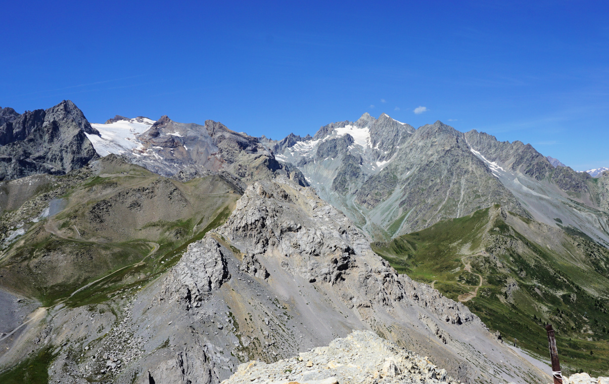
The narrow summit was marked with a wooden cross. Not surprisingly, the panorama was 360° with the nearest Monêtier glaciers in the west.
 |
| La Cucumelle southwestern flank |
 |
| Serre Chevalier viewed from la Cucumelle |
 |
| Col de la Cucumelle seen from summit |
 |
| View west from la Cucumelle |
We took the same trail back the starting point, minding every step below the summit. Another hiker first descended along the grassy albeit steep eastern flank to a trail below.
Climb: 530 m
Distance: 7 km
Duration: 3h 30
Map: 3536 OT Briançon Serre-Chevalier Montgenèvre


0 comments:
Note: only a member of this blog may post a comment.