Exploring Crête de Serre Chevalier
We decided to explore the trails west of Serre Chevalier (2491 m), and based on last years’ experience we took advantage of the Casse du Boeuf chairlift from Villeneuve (1400 m) as we planned to do a shorter hike at a higher altitude.
The high starting point offers numerous itineraries. We had previously hiked to Serre Chevalier summit then down to the valley.
 |
| Casse du Boeuf chairlift |
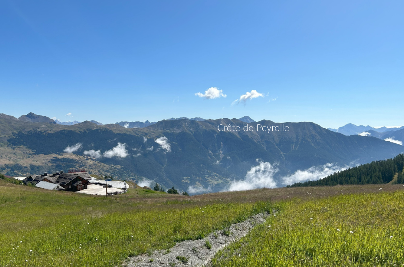 |
| Crete de Peyrolle |
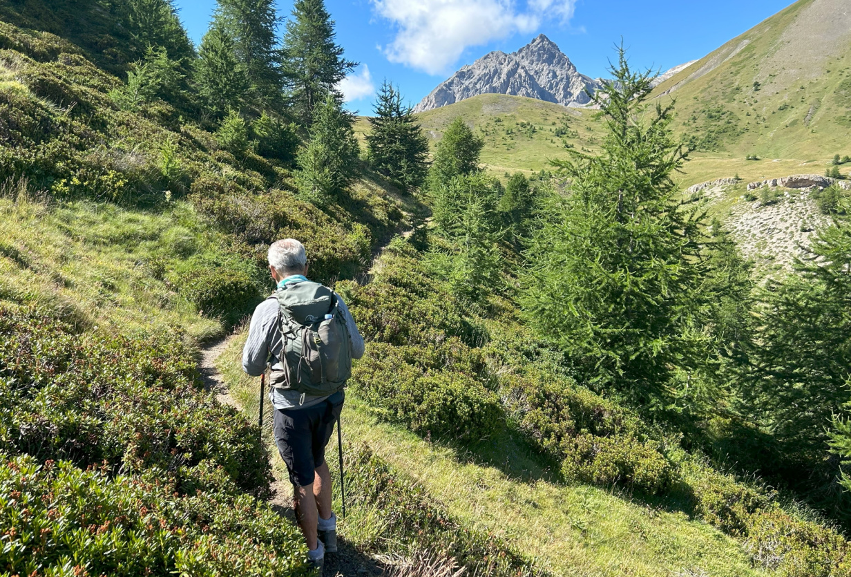 |
| Serre Chevalier western flank |
 |
| Scenery west of Serre Chevalier |
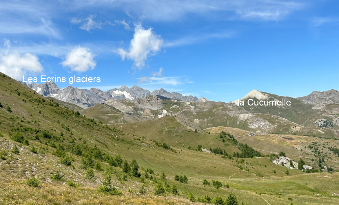
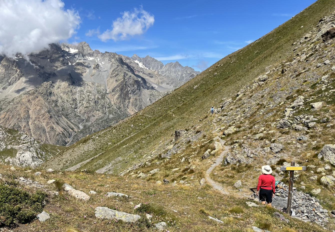
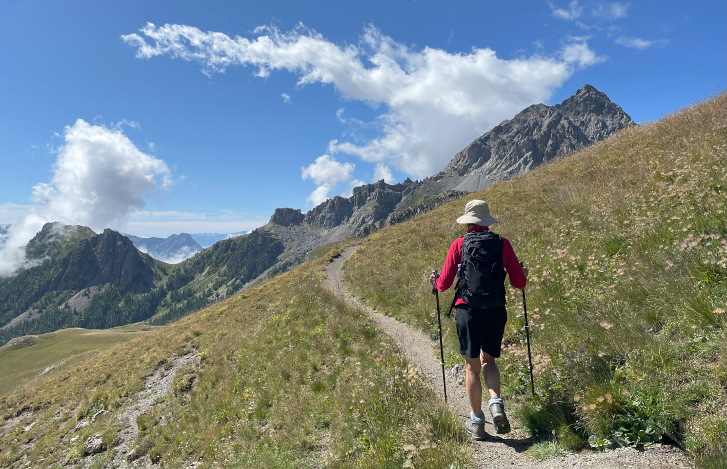
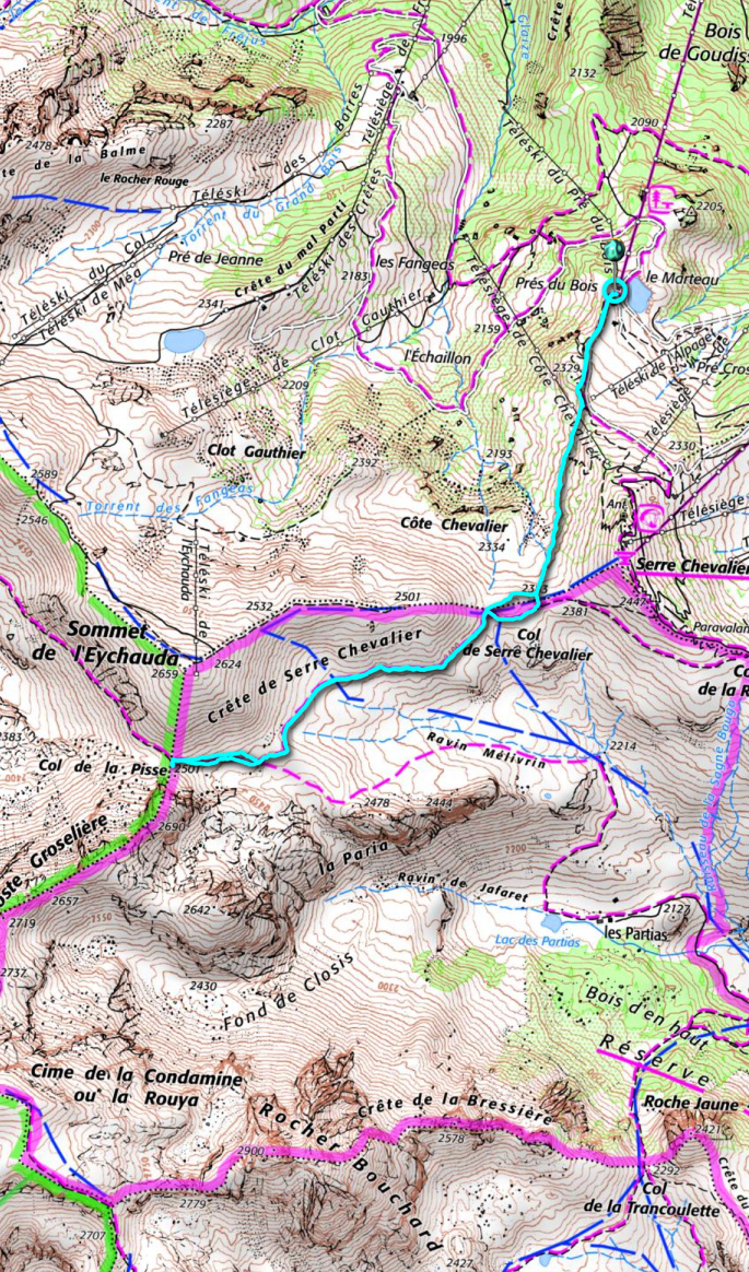
From the chairlift (2270 m), we climbed up to a crossroads at the foot of the northern flank of Serre Chevalier where took a good trail which ran along the western flank to Col de Serre Chevalier (2381 m). Forking right (west), we continued along the southern flank of Crête de Serre Chevalier with great views to the south/southwest as well as to the east, over the Durance River Valley. This area was outside of the ski runs and lifts and therefore very attractive. We climbed a bit further to Col de la Pisse (2501 m) where some of the Ecrins glaciers could be admired in the northwest.
We used the same trail back to the starting point.
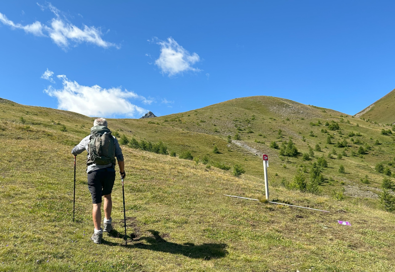 |
| Nearing Col de Serre Chevalier |
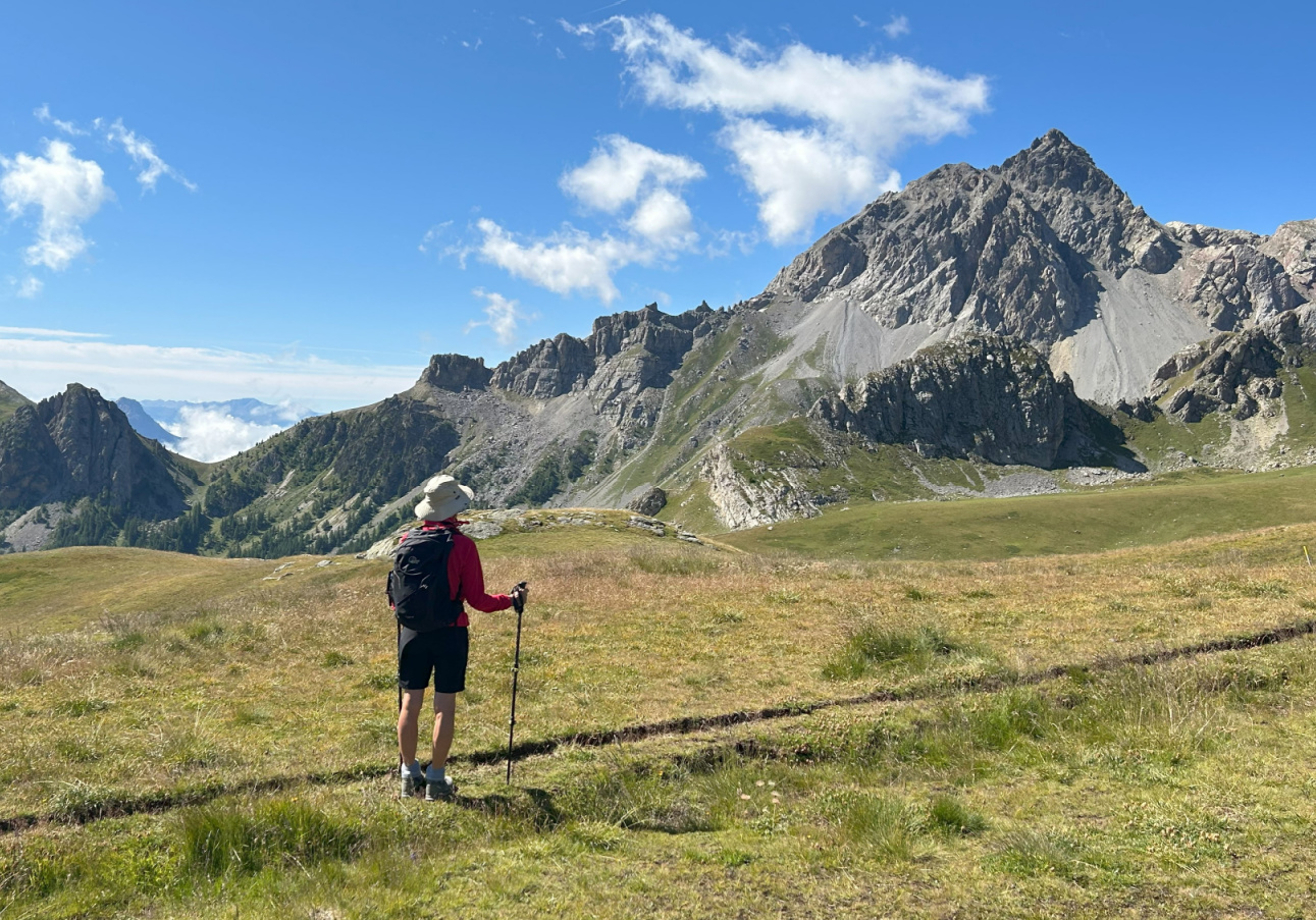 |
| View south Col de Serre Chevalier |
 |
| View northwest Col de Serre Chevalier |
 |
| Near Col de la Pisse |
 |
| Col de la Pisse 2501m |
Climb: 300 m
Distance: 6,2 km
Duration: 2h 30
Map: 3536 OT Briançon Serre-Chevalier Montgenèvre




0 comments:
Note: only a member of this blog may post a comment.