Beuil: Col des Moulinés loop
Several new hiking itineraries have been recently added to the randoxygène web site. We decided to check the loop starting from Beuil (Cougne 1440 m) to Col des Moulinés (1981 m).
We used the parking by the D30 road just before the bridge over the Cians River. After crossing the road, we saw the signpost #41 next to several old houses (Cougne on the map), and started to ascend along a narrow trail, passing several properties. Apparently, the trail had not been much used and was quite overgrown in places. We reached a partly forested ridge (Crête du pre Picas), now heading northwest.
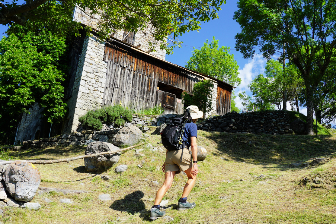 |
| Beuil-Cougne |
 |
| Above Cougne |
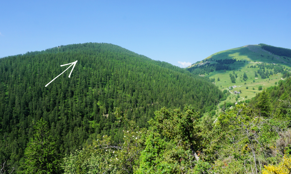 |
| Tête du Garnier |
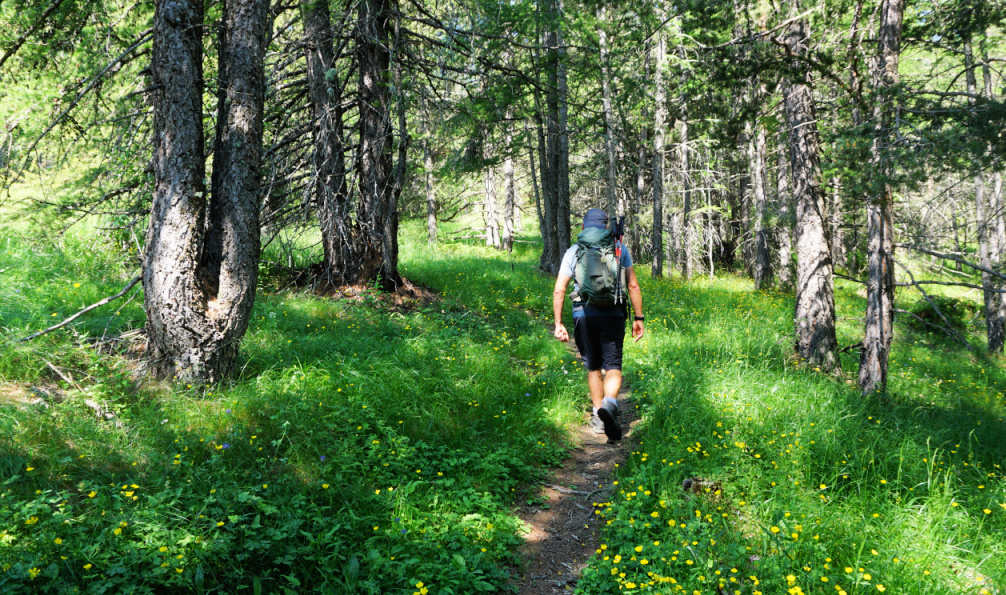 |
| Trail to signpost#43 |
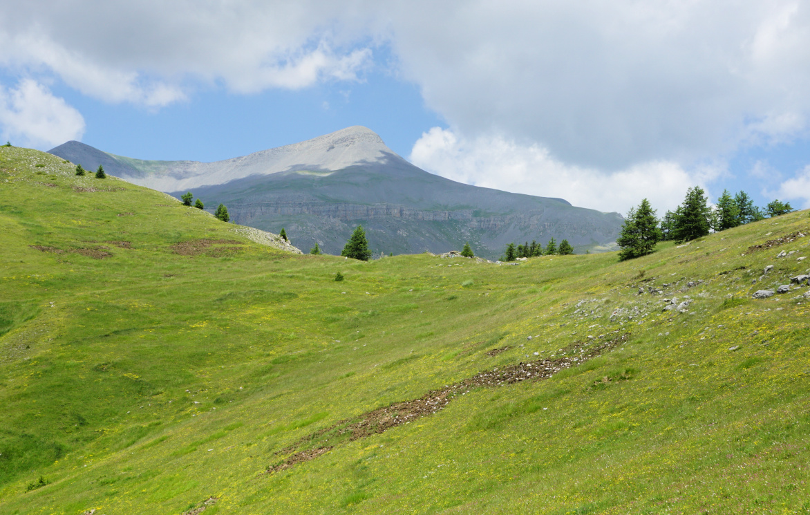
We came to signpost #43 and an ancient military track. We forked right, and followed it near Cime de Bacoun, which in fact looked more like hill surrounded by higher peaks. From there, our itinerary continued north along the eastern flank of Mont des Moulinés. Col des Moulinés became visible and we passed the crossroads with signpost #45 (our return trail). We climbed to the col which borders the Mercantour National Park and is an important crossroads of many trails. The GR5 trail runs via the mountain pass. In the north, Mont Mounier (2817 m) dominated the scenery.
 |
| Mont des Moulinés southern flank |
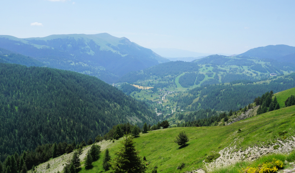 |
| Beuil seen from Col des Moulinés |
 |
| Mont Mounier and the Col |
 |
| Descent to Cians Valley |
The return trail followed the beautiful Cians River Valley all the way. The trail was mostly good and probably more used, too. We had to cross the riverbed a few times. It was dry but warnings had been placed at the crossings.
Climb: 620 m
Distance: 10 km
Duration: 3h 50
Map: 3640 OT “Haut Cians”


0 comments:
Note: only a member of this blog may post a comment.