Vars: L'Ecuelle Loop
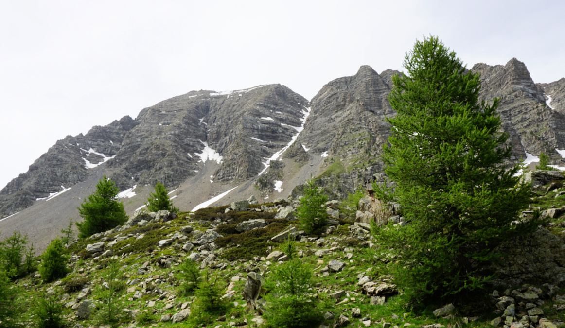
The following relatively short loop above Vars ascends to la Combe Froide under the Eyssina Massif (2837 m). It gives the opportunity to experience a high mountain atmosphere near the village and outside of the ski lift system.
 |
| Starting point of L'Ecuelle hike |
 |
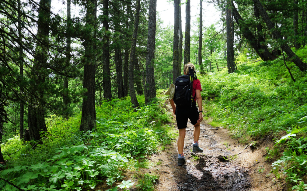
| Larch forest after start |
 |
| Vars Les Claux |
 |
| Ascending trail to Combe Froide |
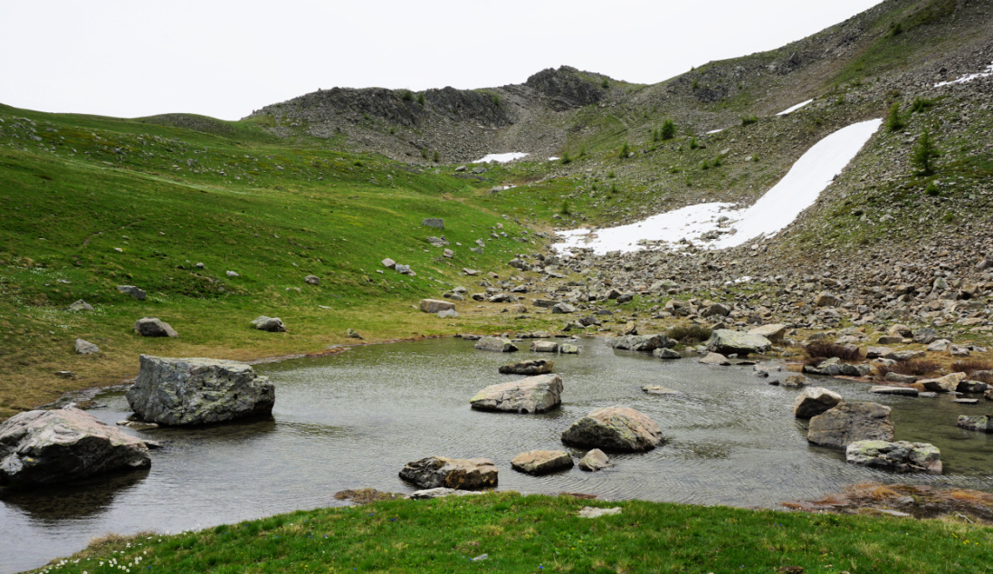
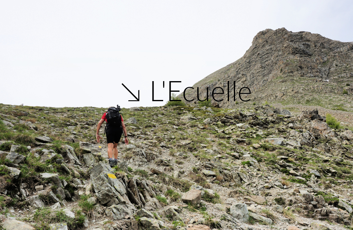
We started from the upper parking at Vars les Claux (1920 m) and climbed along the upper trail in a larch forest towards Col de Vars. At about 2100 m elev. we reached a large meadow where we forked right, climbed to a signpost showing “Les Myrtilles” to the left. We, however, forked again right and dove back into the larch woods. The trail circled a small unnamed peak 180° almost horizontally and came to a crossroads (Trail from les Escondus) where we forked left, crossed a stream and climbed to Combe Froide. There were patches of snow here and there. Marmots, spring flowers and complete tranquillity! The final push to L’Ecuelle Col (2420 m) was fairly steep. The col was the highest point of this hike. It was a warm but very windy day, and we descended a bit for our picnic. In the beginning, the southern side of the col was steep as well.
 |
| Eyssina massif |
 |
| Combe Froide near L'Ecuelle |
 |
| Northern flank of L'Ecuelle |
 |
| Trail near L'Ecuelle |
 |
| Descent from L'Ecuelle |
We descended further and came to the lower Vars/Col de Vars trail near the Cabane de l’Ecuelle. We forked left (north), closed the loop and descended back to our starting point.
Map: 3538ET Aguille de Chambeyron Cols de Larche et de Vars


0 comments:
Note: only a member of this blog may post a comment.