Ubaye Valley: Col de Mary
On our first ever visit to Maljasset, in the Ubaye River Valley at the end of the D25 road, we wanted to explore the trail to Col de Mary (2640 m) on the Italian border. Combined with the Col de Marinet and a loop via the Marinet lakes, the hike is considered one of the classics in the region.
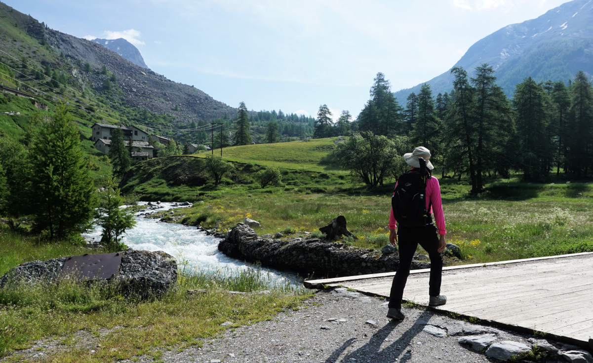 |
| Crossing Ubaye River |
 |
| Ubaye River Maljasset |
 |
| GRP trail above Maljasset |
 |
| Steep section of GRP to Col de Mary |
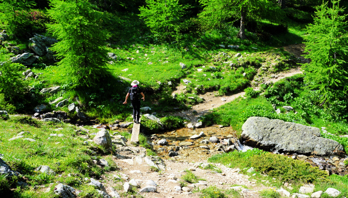 |
Easy stream crossing on GRP
|
It was early in the season with snow still present at altitude. Combined with heavy downpours in the recent days, some sections were fairly wet and there was a lot of water in small streams.
On the day of our hike, we woke up with clear skies but showers and thunderstorm activity were forecasted for the afternoon.
We drove to the very end of the D25 road, passed the hamlet of Maljasset and parked near the Chapel of Maurin.
 |
| Peaks west of Ubaye Valley |
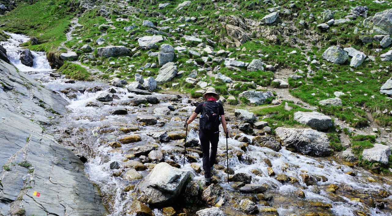 |
| Crossing torrent Mary Valley |
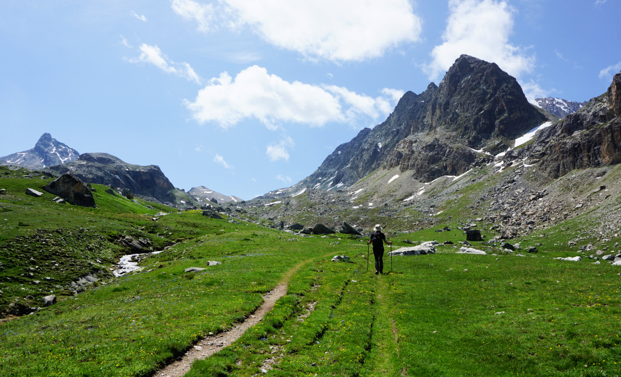 |
| Midway to Col de Mary |
 |
| Higher in Mary Valley |
 |
| Col de Mary 2640 m |
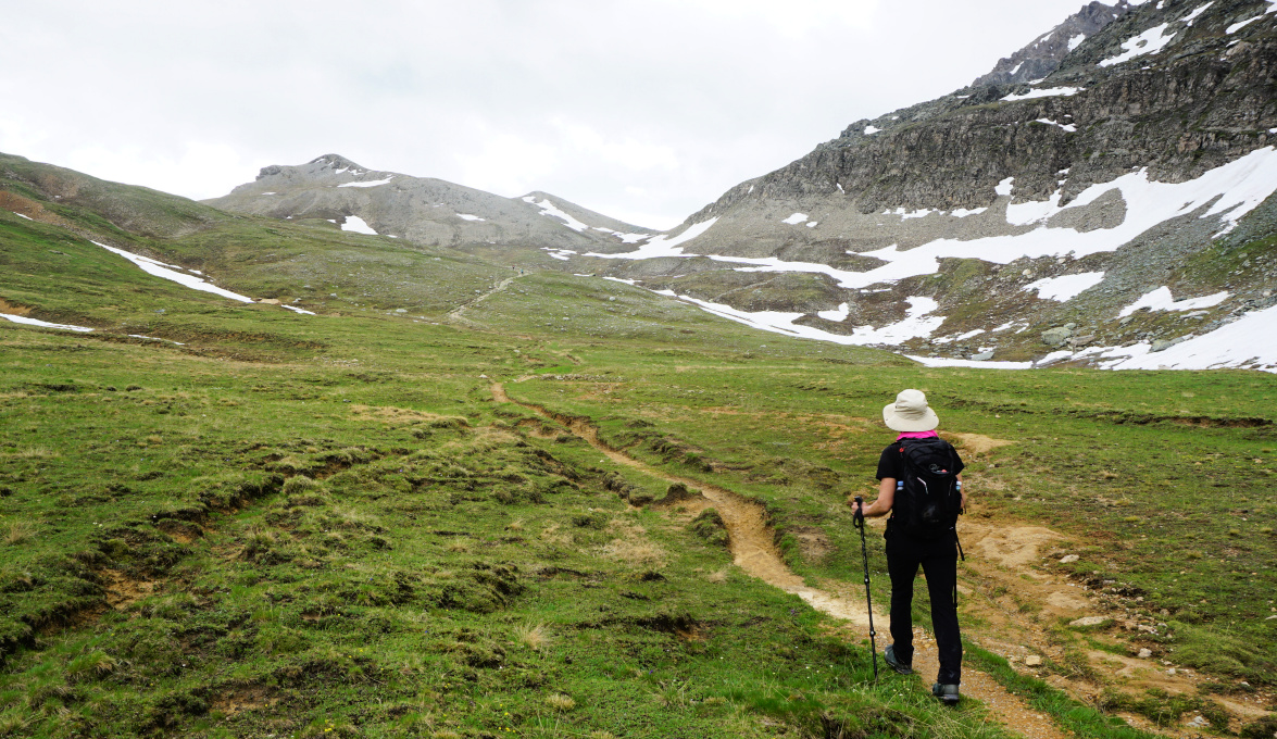
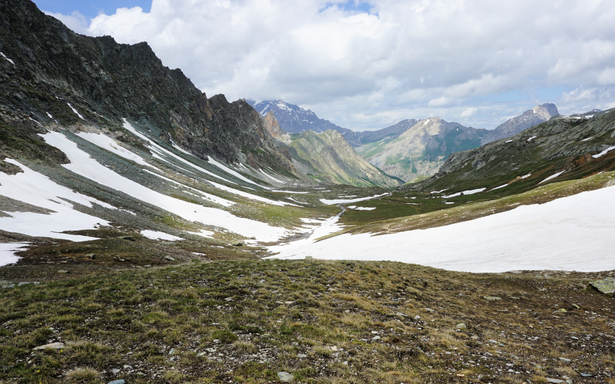
The trail to Col de Mary is a GRP de pays itinerary, marked yellow/red. We descended to the Ubaye river, crossed it along a wood bridge and continued in a larch forest which gradually gave way to alpine meadows. We passed a sign to an ancient marble quarry and soon a shepherd’s hut (Bergerie inférieur de Mary) on our left-hand side. Gaining altitude, we came to a crossroads near another hut (Bergerie supérieure de Mary). The stream Torrent de Mary was impossible to cross at this point as the signs indicated. The trail to/from the Marinet lakes and the Col Marinet was across the torrent as well. We continued on the same side of the stream, and found a crossing point higher up.
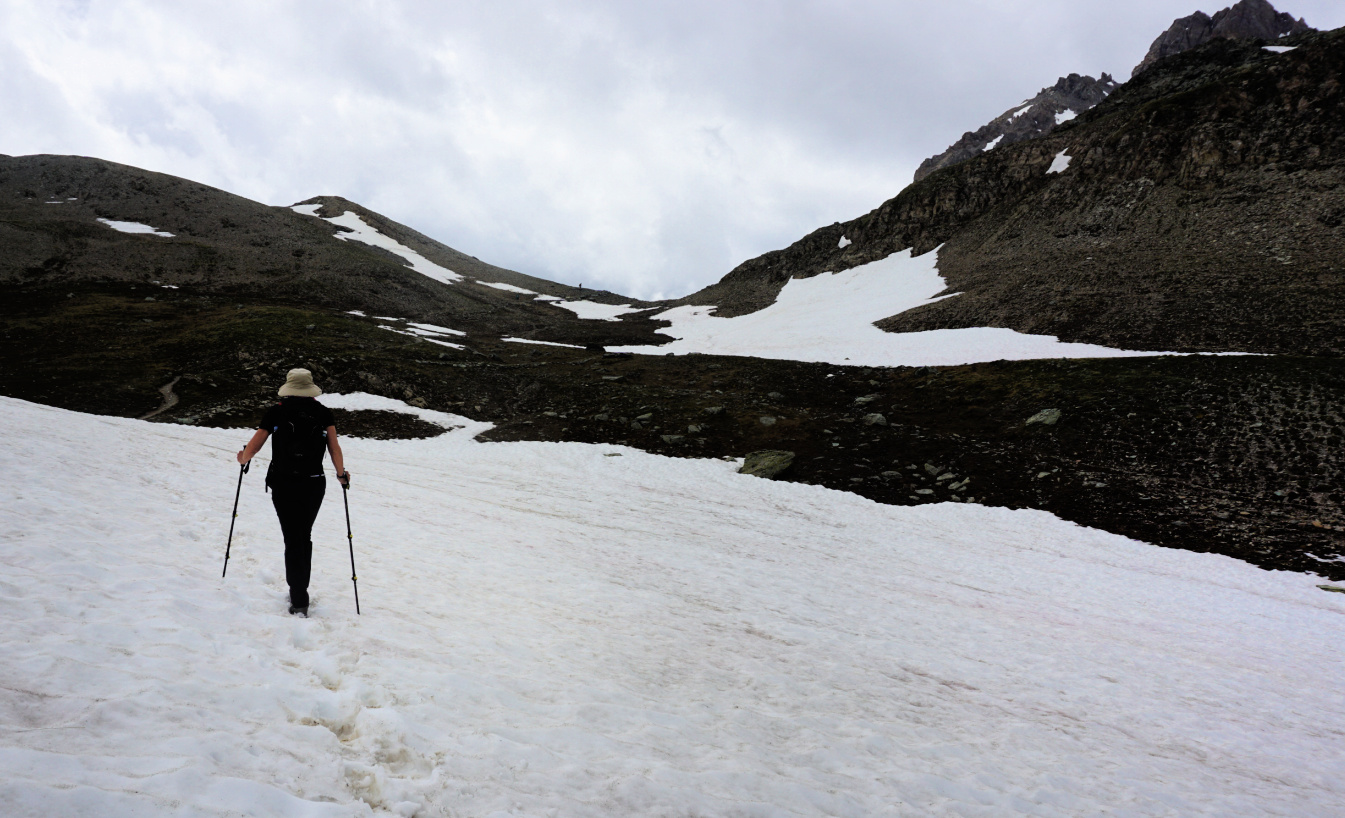
There were large snow-covered areas to be crossed as we approached the mountain pass. The GRP trail continued to Italy, connecting with a network of itineraries back to France. The rocky trail to the Marinet Pass (147 m climb; 30 min) forked right. The allegedly Europe’s highest mailbox was placed on the col, a relic from the 19th century. Due to gathering clouds and above all impossible torrent crossing from the Marinet lakes, we decided to return along the same trail.
Map: 3538ET Aguille de Chambeyron
 |
| Upper Mary Valley |
 |
| Col de Mary track |




0 comments:
Note: only a member of this blog may post a comment.