"Shorter" loop above Tourrettes-sur-Loup
The following hike is basically a bit shorter variant of the previously posted long walk which started from the village (400 m) and included both summits.
We drove up to le Caïre and parked by the narrow Route du Caïre at about 760 m elev. about 500 m before the auberge as they understandably don’t want their property to be used by hikers.
Route du Caïre is narrow, steep and potholed but negotiable with a normal car. Starting higher up meant over 300 m less climbing on a day when once again thunderstorm activity was forecasted in the afternoon.
 |
| Near le Caire |
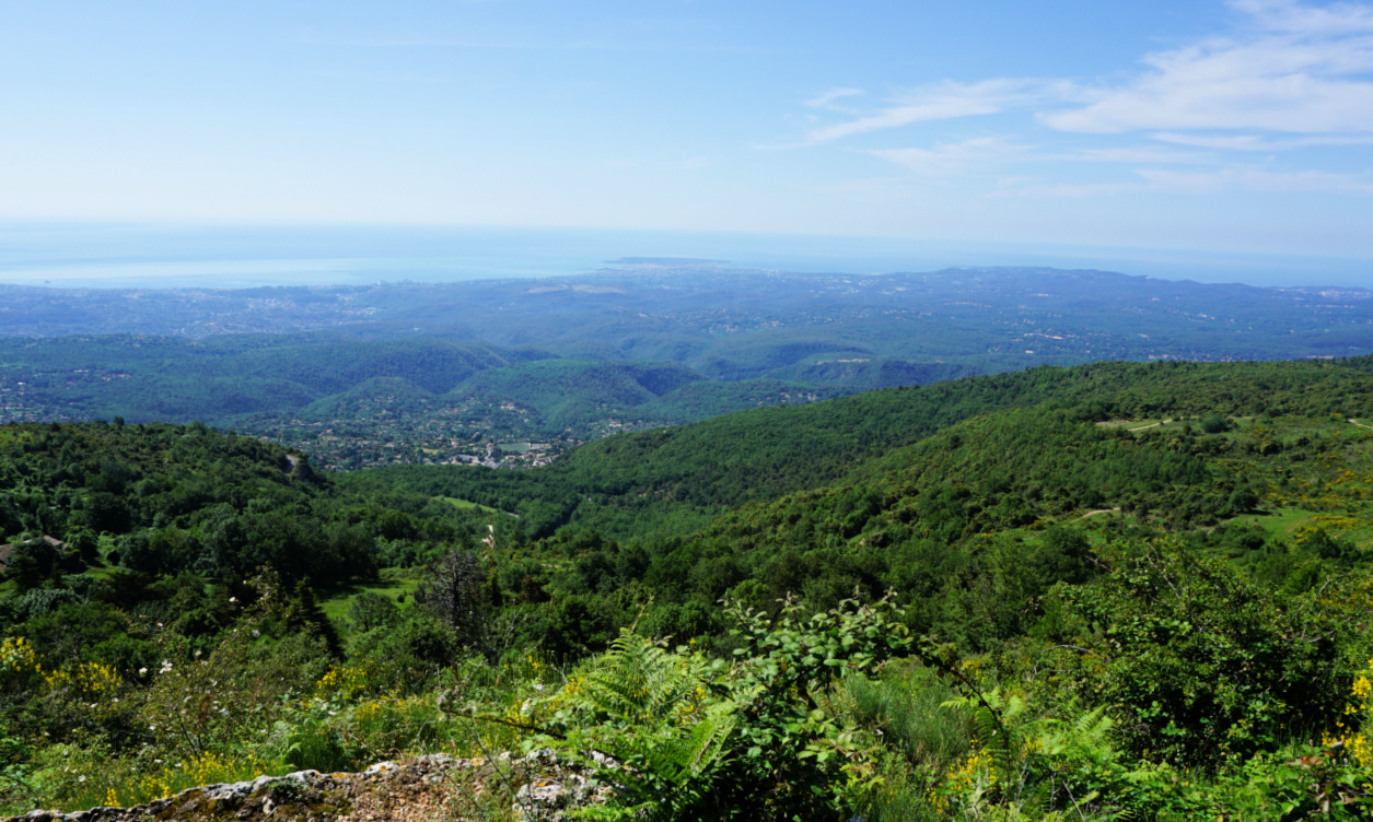 |
| Early summer greenery above the Riviera |
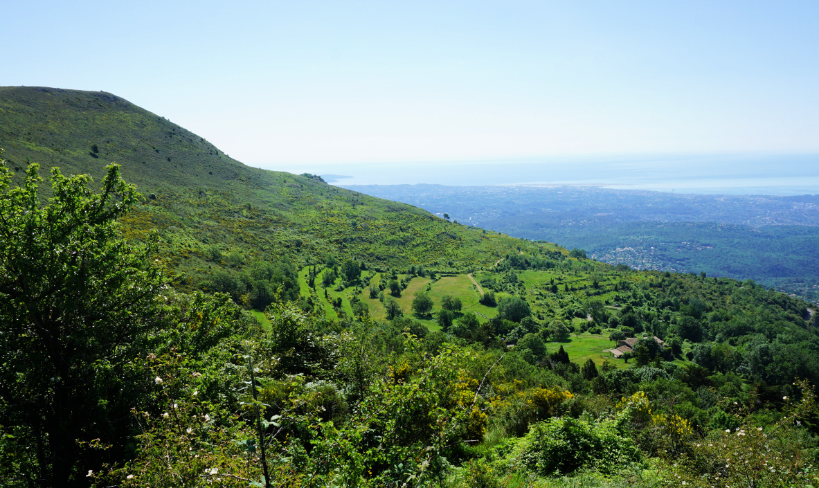 |
| Above le Caire |
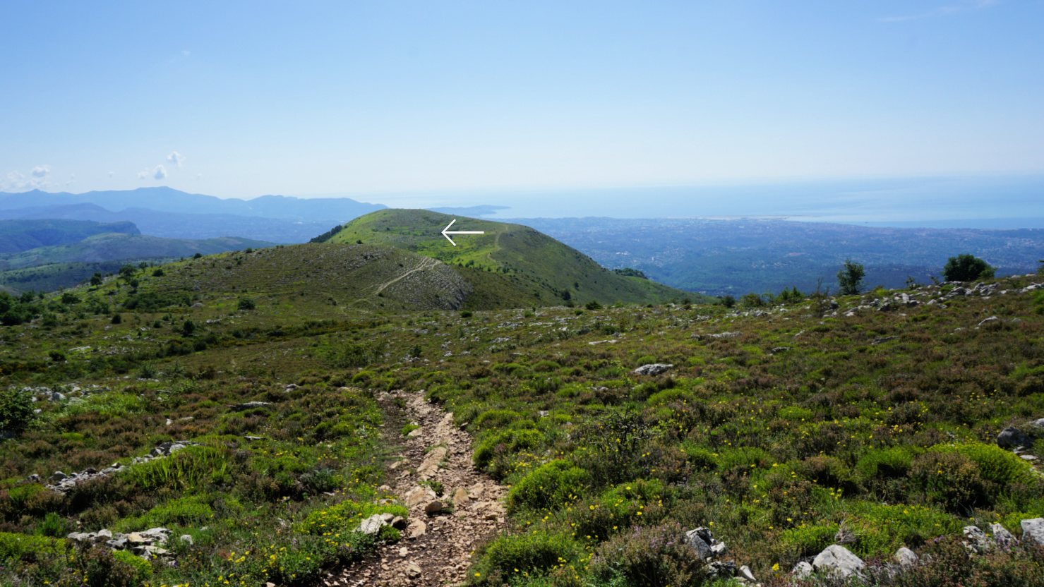 |
Puy de Naouri
|
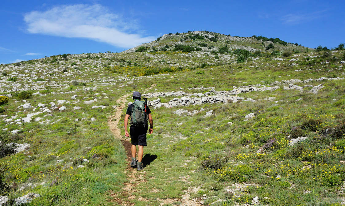
We passed the properties in le Caïre and climbed along the familiar trail to la Baïsse and signpost #176 where we forked west. The trail is not in the hiking maps but nevertheless clear and we followed it to Puy De Tourrettes (1268 m) vast summit plateau. Another well visible but unmarked trail forked left, southwest, and we descended along it to the saddle between the two summits.
The first part of the ascent to Cime de Courmettes ran in the woods, again along an unmarked but well visible trail. There were in fact a few trails, and we used the one nearest the precipitous western flank before reaching the summit (1248 m) with impressive views, notably to the coastline about 14 km away.
 |
| Towards Puy de Tourrettes |
 |
| Trail to Courmettes well visible |
 |
| Courmes |
 |
| Near Pic de Courmettes summit |
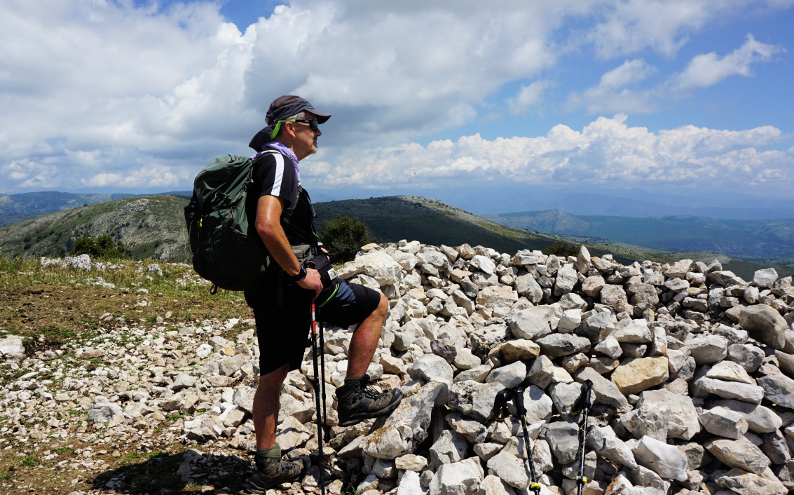 |
| Pic de Courmettes |
We descended straight south, now along the familiar yellow-marked trail to signpost #187 near the Domaine de Courmettes, forked left and followed the dirt track back to le Caïre. Light rain started before we reached our car, and we could read later that heavy hailstorms had hit the Grasse region only a bit later the same afternoon.
Current loop: Longer variant:
Distance: 11,6 km 16 km
Climb: 680 m ~1000 m
Duration: 4h 30 5h 30 active


0 comments:
Note: only a member of this blog may post a comment.