Moulinet: Cime de Linière
Cime de Linière (1368 m) situated 2,5 km southwest of the summit of Mangiabo (1821 m) can be reached from the village of Moulinet (800 m) in the Bévéra River Valley. East of Bévéra, the verdant and steep mountain flanks are mostly forest covered. At Moulinet, the western border of the Mercantour National Park follows the river.
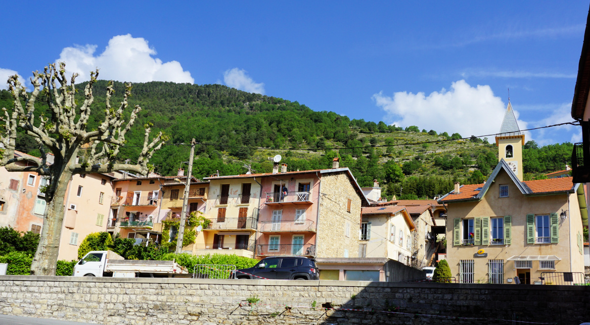 |
| Moulinet village |
 |
| Leaving signpost#20 |
 |
| Crossing Bévéra |
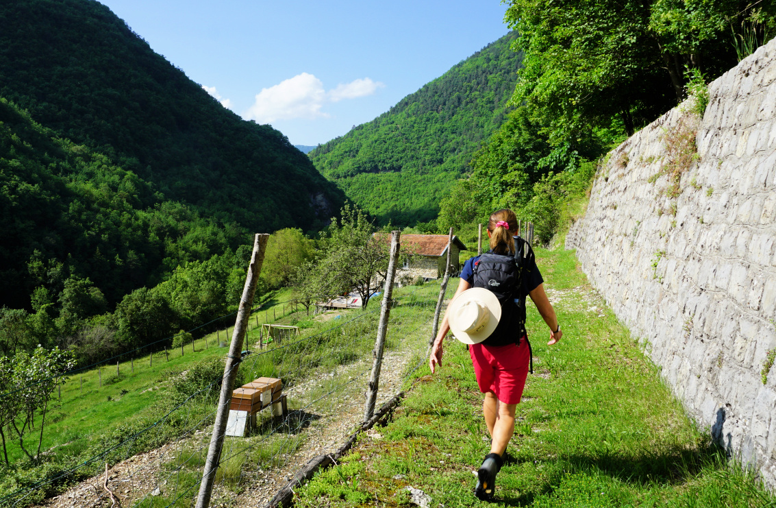
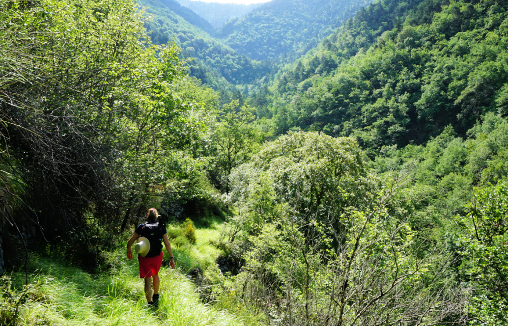
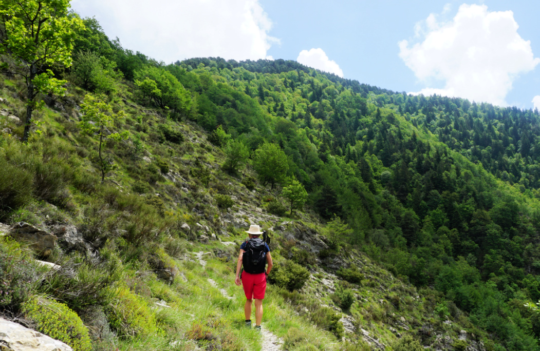
From the village square with limited parking, we walked about 400 m along the D2566 road to signpost #20. We passed some properties and a chapel, and entered the Mercantour Park. We descended to a bridge crossing the Bévéra and followed its tributary named Gouargas to signpost #21 where we forked left, passed a solitary house (Sapetta on the map). We continued to the east, and started to ascend along a narrow trail to l’Avenquet where we passed ruins of ancient dwellings. We were off the beaten track; only wild boars had been digging the path.
 |
| Trail after Sapetta |
 |
| Bévéra Valley |
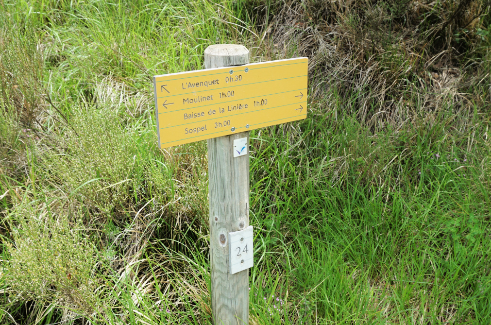 |
| Crossroads #24 above Moulinet |
We crossed another stream, turned almost 180°, and headed west to signpost #24 where we made another 180° turn and climbed to Baisse de Linière (1345 m).
The path to the nearby summit was not marked and hidden under the grass at the clearing but soon became visible in the woods. From the rather flat mountain top we had best views to the south with the coastal peaks between Sospel and Menton visible in spite of the passing afternoon thunderstorms. There was a shepherd’s shelter in bad shape. Not one of the most impressive summits, but nevertheless worth a visit and above all a good springtime exercise!
We descended back to signpost #24 where we took the shorter and more frequently used path back to Moulinet.
 |
| Towards Baisse de Linière |
 |
| Near Baisse de Linière |
Climb: 790 m
Distance: 13,8 km
Duration: 5h 40
Map: IGN 3841 OT
 |
| Cime de Linière hike track |


0 comments:
Note: only a member of this blog may post a comment.