Petite Afrique Hike
The following short semi-urban loop above Beaulieu-sur-Mer offers great views of the town as well as the nearby Saint Jean Cap Ferrat. Situated in one of the most temperate regions of France, and protected by northern winds, the south-facing mountain flank above Beaulieu-sur-Mer has a microclimate of its own.
 |
| Rue du Marché |
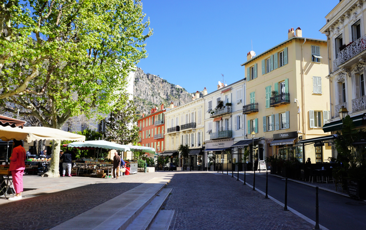 |
| Place Charles de Gaulle |
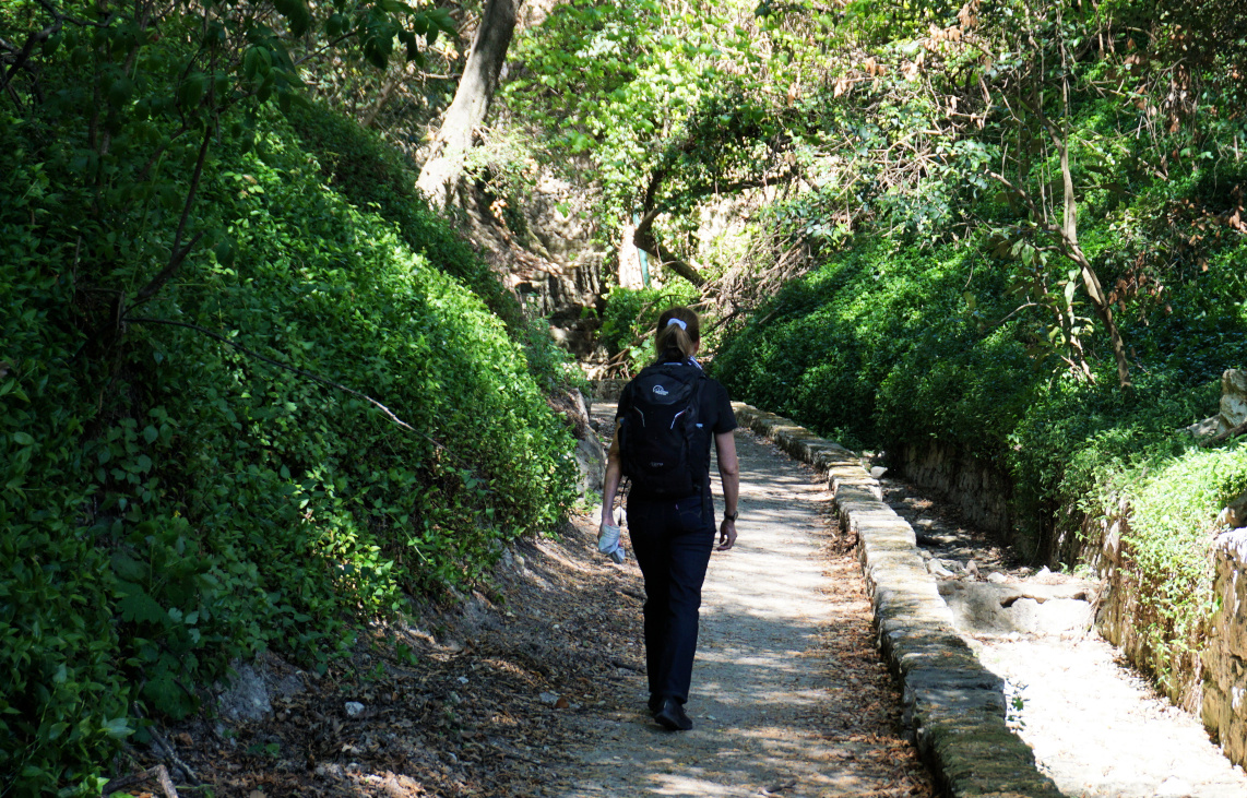 |
| Above the old cemetery |
 |
| Below Bd Eduard VII |
Starting from the waterfront, we headed to Place Charles de Gaulle via rue Gallieni and rue du Marché. From the square, we started to ascend along Chemin des Myrtes with some traffic and no pavements. At a sharp bend, we continued straight towards the old cemetery. This is where the paved street ended and we continued along a partly paved path which followed a dry stream bed. Here we saw the first yellow signs marking the itinerary.
We ascended to Boulevard Eduard VII and forked right, following it about 300 m to the bus stop Les Trois Frères where we exited the street, and climbed along stairs to Chemin de Sophie. The markings were now better. We passed several properties, and soon continued along a good trail surrounded by Mediterranean vegetation, now in the Petite Afrique neighbourhood.
 |
| Above Beaulieu-sur-Mer |
 |
| In Petite Afrique |
 |
| Trail to signpost #666 |
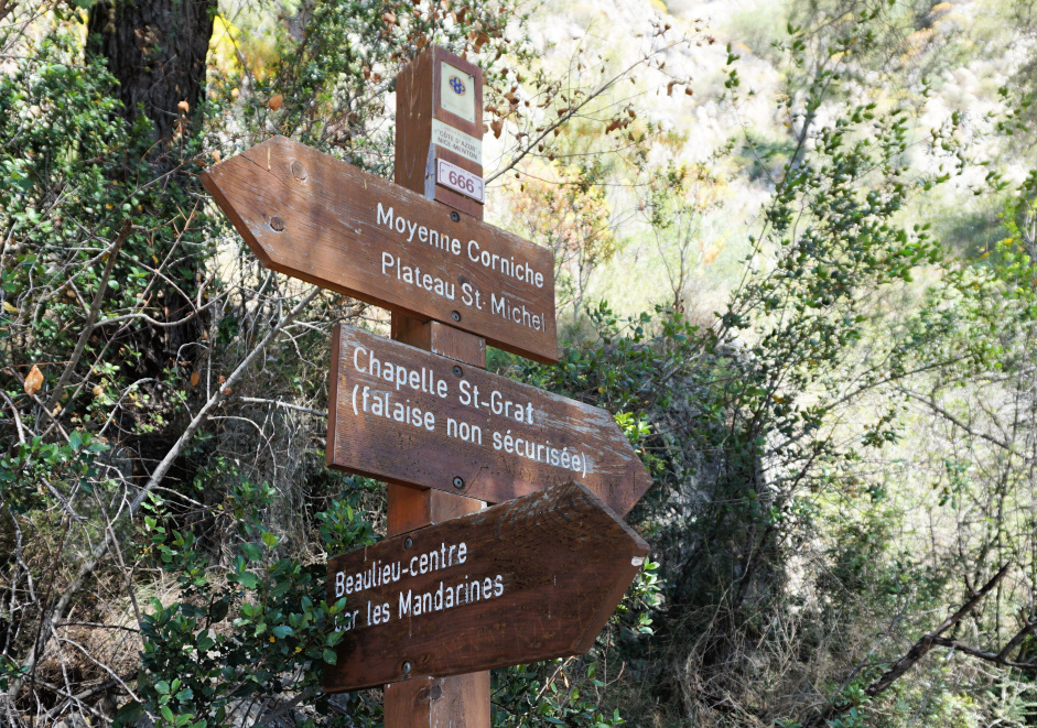 |
| Signpost #666 at trail crossroads |
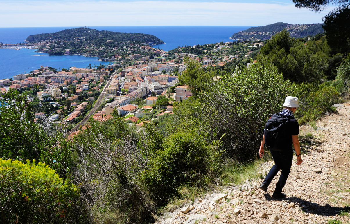 |
| Descent back to Beaulieu |
 |
| L'Escourcha stairs Beaulieu |
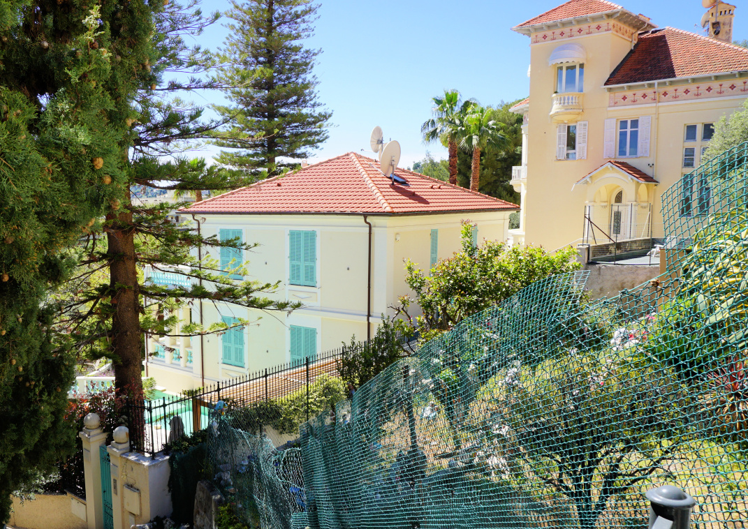 |
| Villas above Beaulieu |
We passed the fallen signpost #665 and climbed to a crossroads of four paths (the highest point of the loop) and signpost #666. A steep optional path continued up to Chapelle St-Grat. We forked right, and descended rapidly back to Bd Eduard VII, and followed it about 400 m to l’Escourchia (pedestrian shortcut; stairs) then continued via Ruelle des Mandarines and Bd Eugène Gauthier to the port.
Duration: 2 h including short stops
Map: 3742 OT Nice-Menton Cote d’Azur


0 comments:
Note: only a member of this blog may post a comment.