St-Véran: Crête de Curlet
|
|
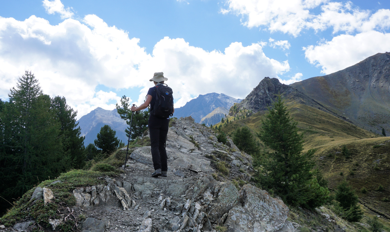
Narrow part of Crête de Curlet
|
Facing St-Véran on the southern side of L’Aguie Blanche Valley, the
northern face of Crête Curlet is a precipice.
A cross, la Croix de Curlet (2301 m elev.), was erected on the ridge in
1905 when a lost child from the village had been found there alive. The
original cross was replaced in 1998. There is a clearing around it, and it is
visible from St-Véran.
The hike up to the cross and the ridge is considered easy, suitable for
families according to:
https://www.envie-de-queyras.com/guide/la-croix-de-curlet

|
|
Crête de Curlet seen from St-Véran
|
|
| In Bois du Moulin |
 |
| Wolf and dog warning |
 |
| Near Croix de Curlet |
 |
| Croix de Curlet St-Véran |
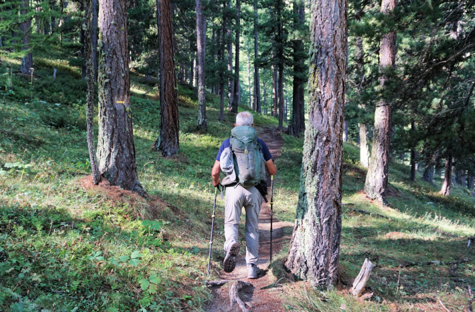
Even so, if you start from St-Véran by foot as we did, you have to descend 150-200 m along the GR58 trail before reaching Pont du Moulin (1849 m). From the bridge, we ascended along the GR58, and after 450 m forked left along a PR (yellow-marked) trail to la Croix de Curlet. We ascended steeply in the woods (Bois du Moulin).
We were aware of pasture areas south of the ridge (Cabanes de Lamaron). There was the usual warning of sheep flocks but a bit later another one (image): wolves=patou dogs -those big white guardian dogs. We came to a clearing where a few sheep were roaming around. No dogs nearby. We saw a shortcut to the ridge and the cross, and took it, thus avoiding the flock. We reached the cross, right above St-Véran, with great views. A good trail continued along the ridge, ascending a bit. To our right, we soon saw the main sheep flock further away climbing under Pic Cascavelier at the end of the ridge.
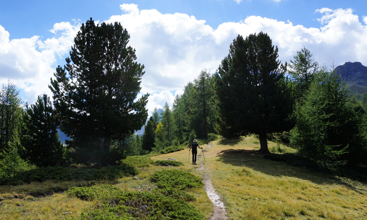 |
| Trail leaving Croix de Curlet |
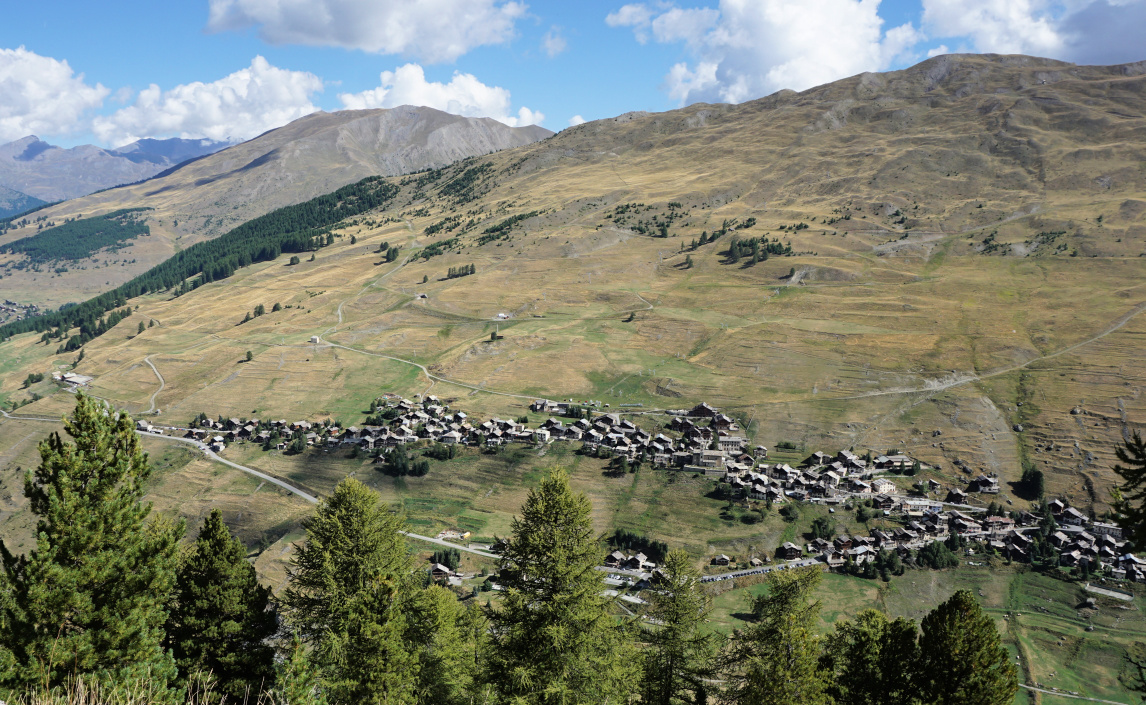 |
| Saint Véran viewed from Croix de Curlet |
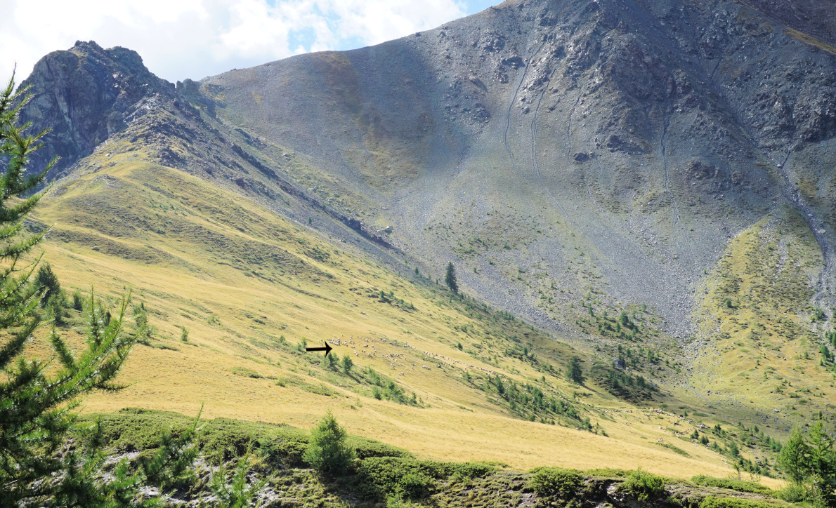 |
| Sheep flock south of Crête de Curlet |
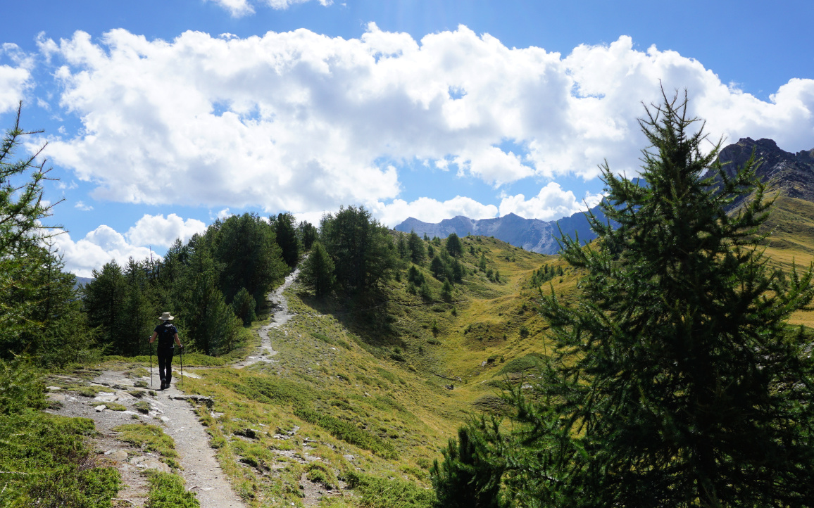 |
| Beautiful Crête de Curlet |
 |
| Pic de Ch.Renard seen from Crête de Curlet |
 |
| Descending in Bois du Moulin |
Instead of doing a loop back along the meadows, we turned back to the cross after about 600 m. On the way back, we clearly saw some wolf footprints on the muddy trail (image), also those of a deer.
From the cross, we took another shortcut trail in Bois du Moulin. The trail merged with our main path. We descended back to the valley and climbed to St-Véran.
Climb: 600 m (when starting from St-Véran)
Map: 3637 OT Mont Viso St-Véran. Aguilles; PNR du Queyras
 |
| Crête de Curlet hike track |
 |
| Wolf footprint |


0 comments:
Note: only a member of this blog may post a comment.