Cime du Cheiron
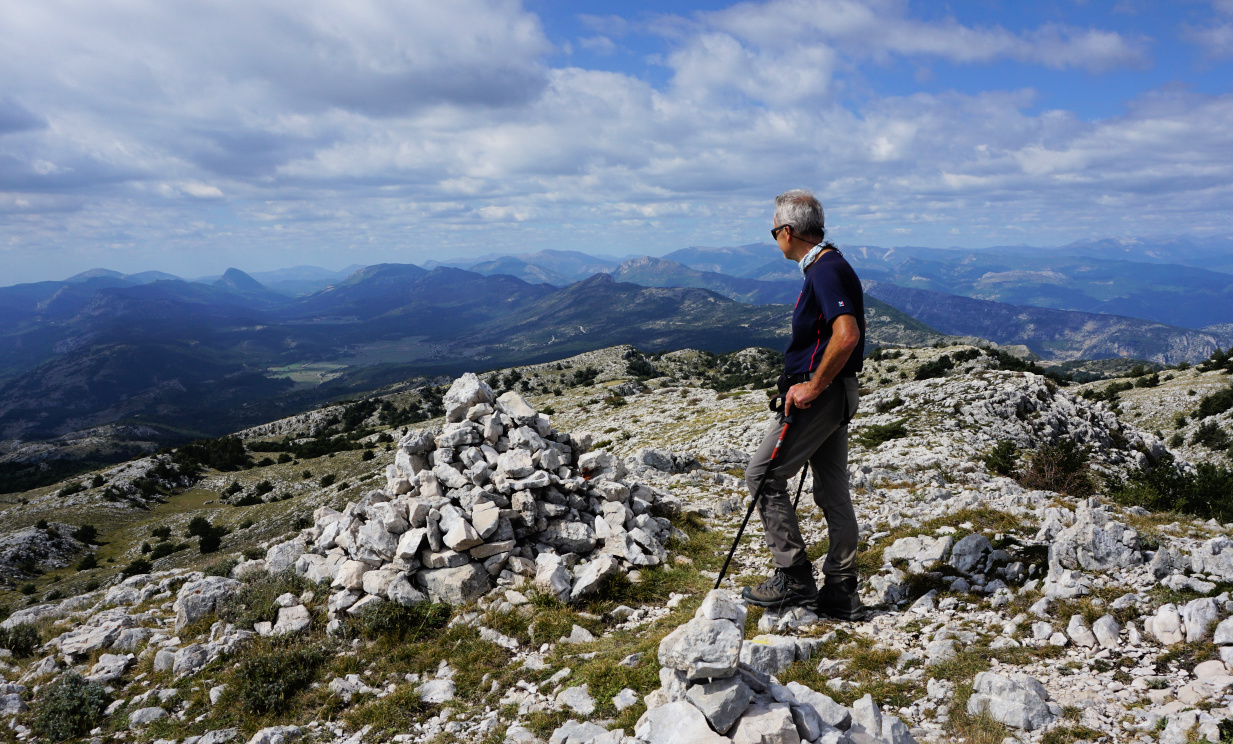 |
| Western Cheiron Ridge |
When we climbed to the Cheiron Ridge several years ago, we were interrupted by poor weather and visibility.
This time we chose a warm and clear (albeit hazy) September day for our hike.
The impressive steep southern flank of the long limestone ridge is well visible from many places on the coast. The highest point, Cime du Cheiron (1778 m) has antennas on the summit, and ski lifts from Gréolieres les Neiges near the summit on its northern side. All in all, we found the ridge more imposing than the summit itself!
We started from signpost #30 in Gréolières (830 m) along the GR4 trail, passing the ruins of Hautes Gréolières. Most of the trail was very rocky. We came to signpost #193, forked left and continued the ascent along the GR4.
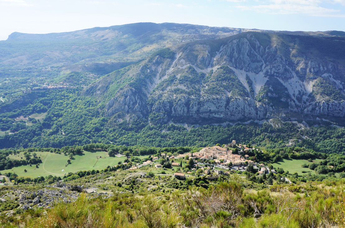 |
| Gréolières viewed from GR4 |
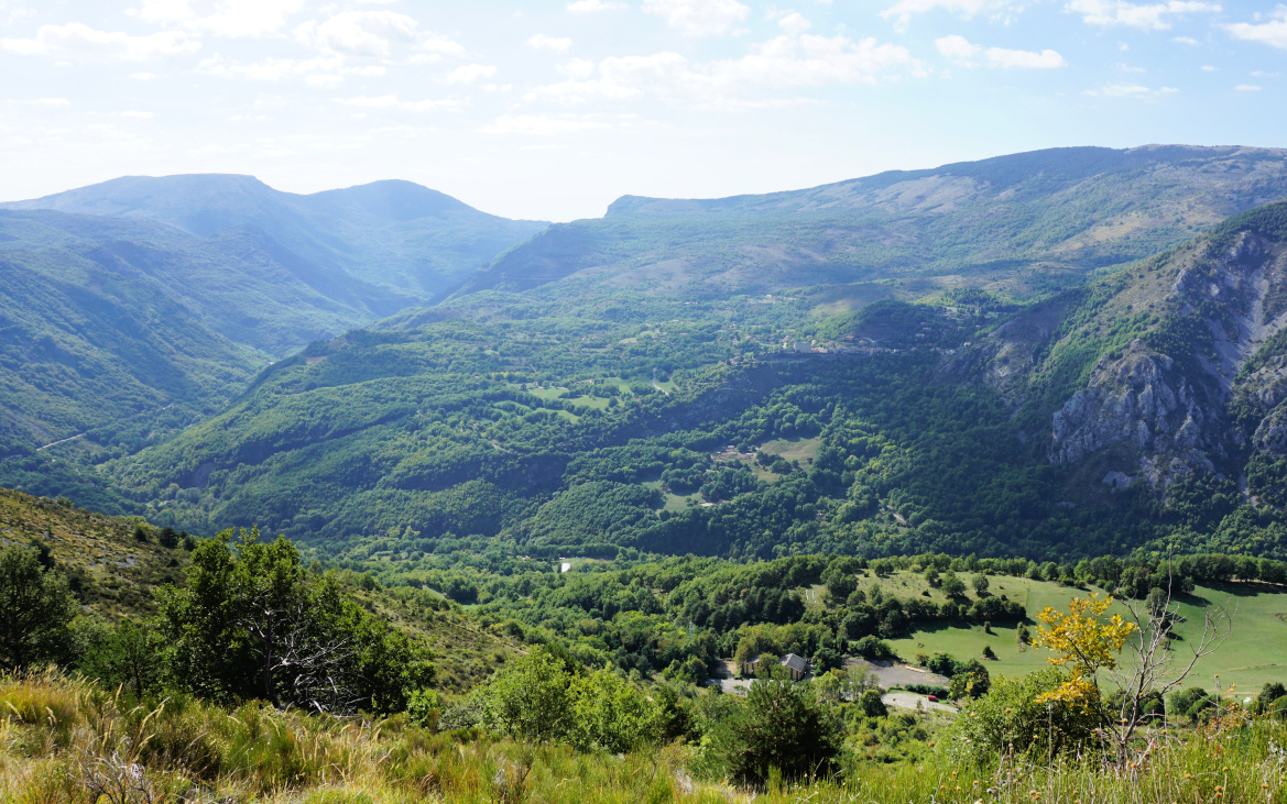 |
| The Loup Valley |
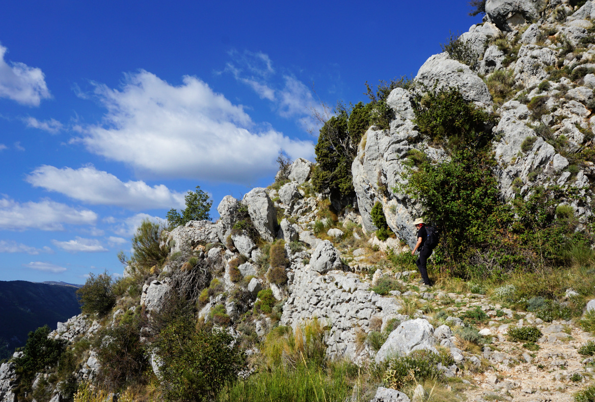 |
| GR4 after signpost 193 |
 |
| GR4 to Collet de Barri |
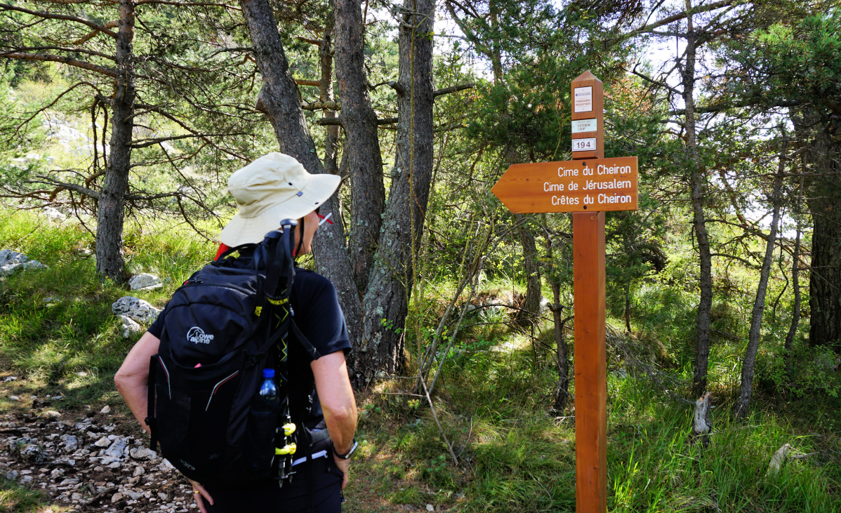 |
| Collet de Barri |
At Collet de Barri (1370 m), we forked right (east), leaving the GR4. The newish signpost showed the itinerary to Cime du Cheiron, and the trail had yellow markings. We first ascended in a forest. Once above the tree line, we reached the beginning of the ridge and soon came to a new signpost #404a (not in our map). The masts on the summit became visible. There were now more cairns to guide us.
We came to an antécime with a big cairn, then hiked to the mountain top with antennas less than 100 m away. There was ongoing maintenance, and men working. We did therefore not continue to the true summit nearby. From here and as well from the ridge, we nevertheless had a panorama view all the way to the coast. Even the St-Tropez Peninsula was visible through the haze.
We descended back to Gréolières, paying attention to moving rocks on the trail.
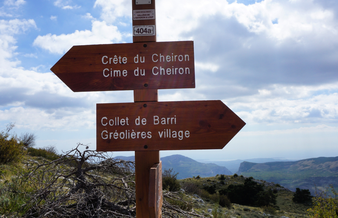 |
| Signpost 404a Cheiron Ridge |
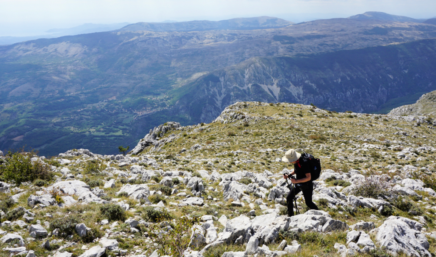 |
| Cheiron Ridge |
 |
| Western flank of Cime du Cheiron |
 |
| View south from Cheiron |
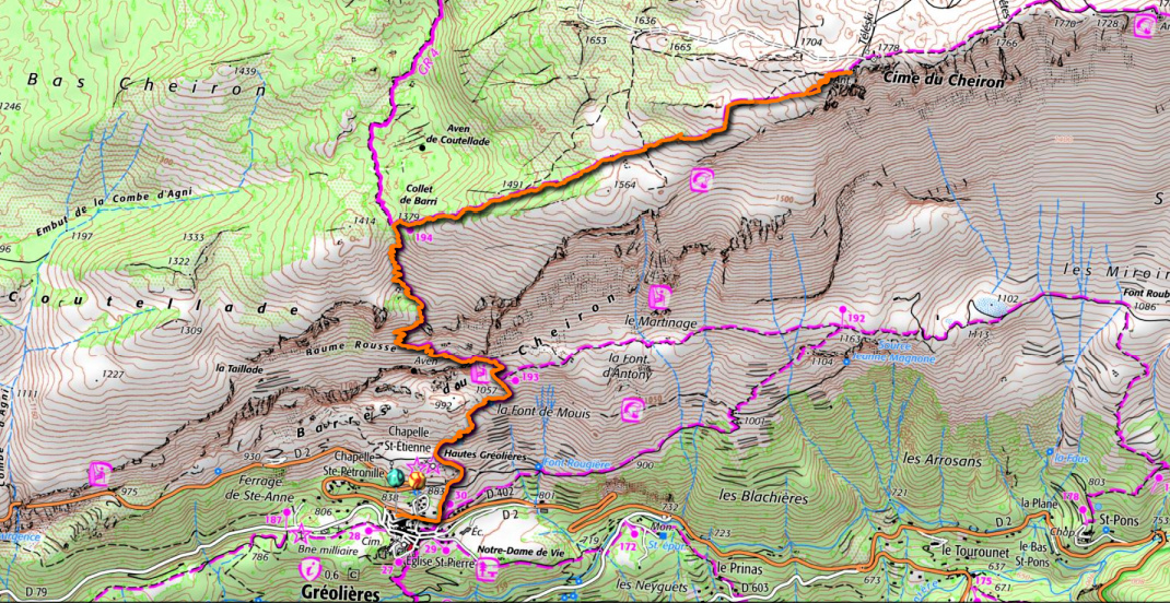 |
| Cime du Cheiron hike track |
Climb: 920 m
Distance: 11,2 km
Duration: 5h 30
Map: 3642 ET « Vallée de l’Estéron »


0 comments:
Note: only a member of this blog may post a comment.