Queyras: La Gardiole de l'Alp

|
|
La Gardiole de l'Alp summit
|
In the Queyras Regional Nature Park, La Gardiole de l’Alp (2786
m) is an easily reached summit. Situated northeast of
Molines-en-Queyras, the peak is less visited in summer but popular
among ski tourers and snowshoers due to the topography of its grassy
south-facing flank.
We took the D205 road from Molines-en-Queyras to Pierre Grosse (1915
m), and found a parking by the road near the village entrance.

|
|
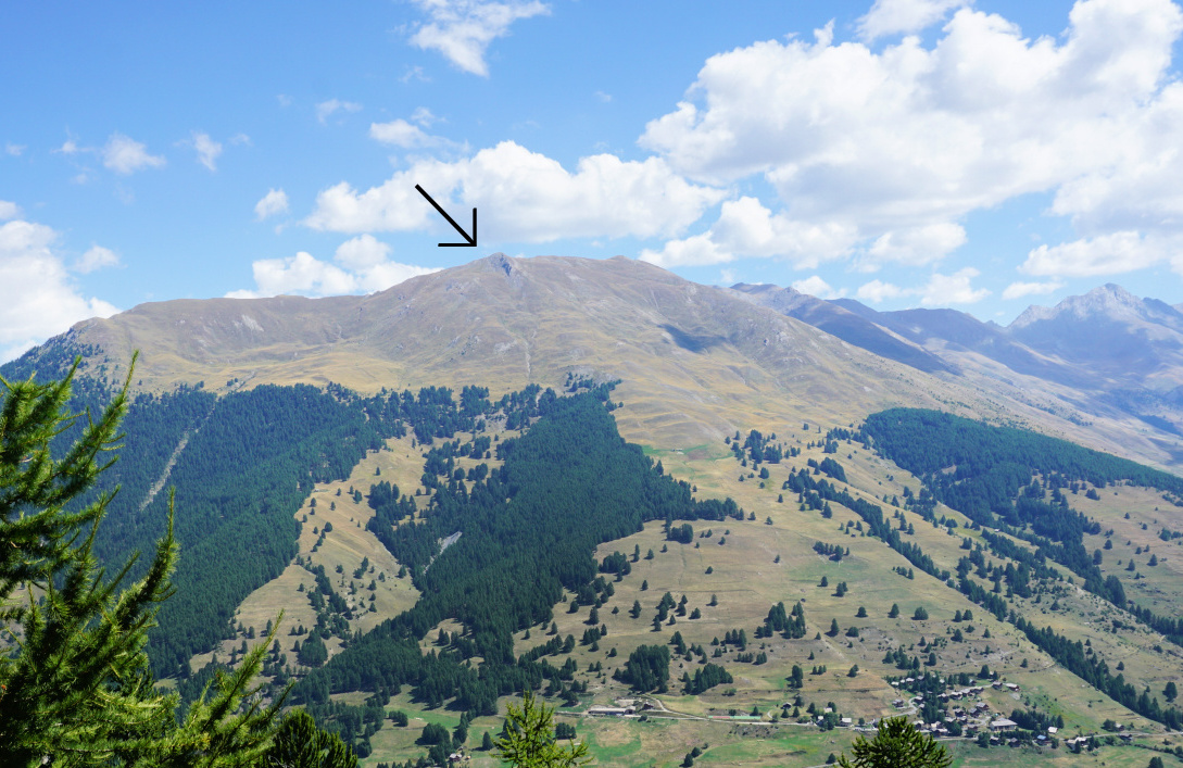
La Gardiole de l'Alp seen from Sommet Bucher
|

|
|
Signpost Pierre Grosse
|

|
|
Leaving Pierre Grosse
|

|
|
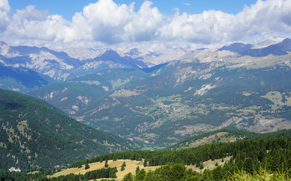
Above Molines-en-Queyras view south
|

|
|
Easy start from Pierre Grosse
|

|
|
Above Pierre Grosse
|
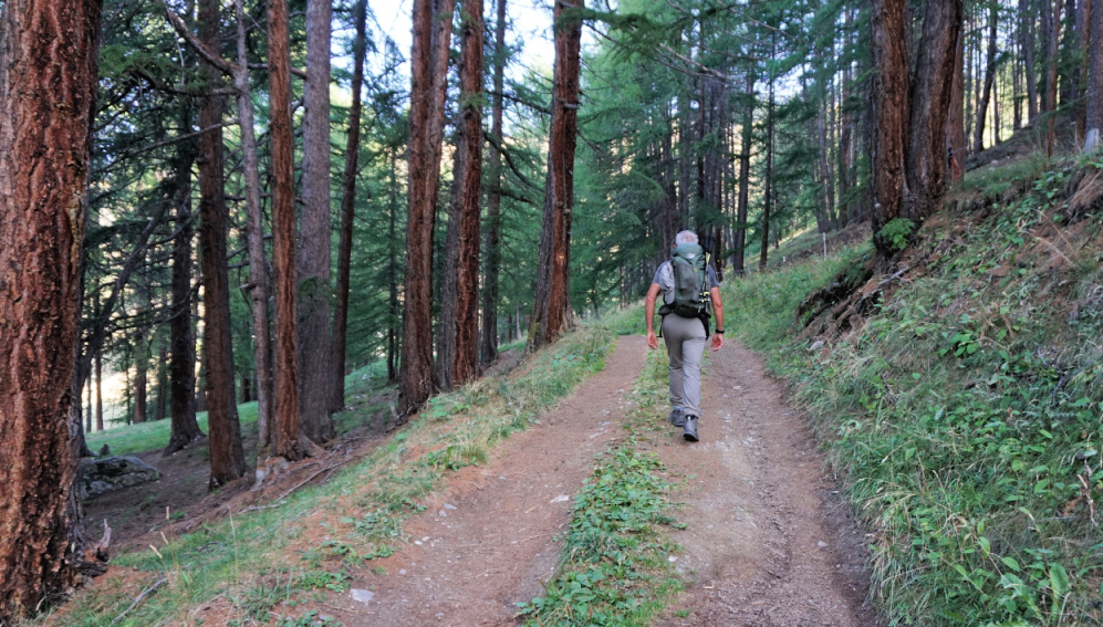
We walked through the village, heading west. After about 400 m, we came to
a crossroads and an informative signpost where we forked right along a
road named Lou Caire, passing several chalets. The itinerary then
followed a dirt track, partly in the woods. After about 2 km we again
forked right, and climbed more steeply, passing the
Bergerie de l’Alp.
After the hut (no livestock on that day), we ascended in a vast Alpine
meadow, heading northeast. The trail zigzagged in the open terrain, and
was well marked with yellow sticks so that you always had the next one
visible when climbing. Just before the summit we passed a short rocky and
narrow stretch, nothing difficult. We only met two other hikers on the
trail.

|
| Bergerie de l'Alp |

|
|
Above Bergerie de l'Alp
|
 |
View to west from Gardiole south flank
|

|
|
Rocky stretch before la Gardiole de l'Alp
|

|
|
Pic de Ch.Renard seen from northwest
|
The summit was marked with a cross. Not surprisingly, we were rewarded with
super views. The north-eastern flank was precipitous. The ridge trail
continued south-east.
We returned along the same trail, as planned in the morning. A somewhat
longer option would have been a loop via Crête de Batailler to Col du Clot
du Loup, and back to the starting point.
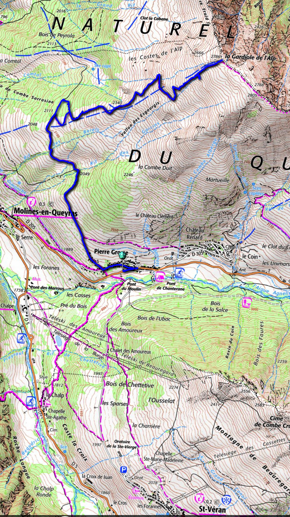
Map: 3637 OT Mont Viso St-Véran. Aiguilles PNR du Queyras
 |
| Gardiole de l'Alp hike trail |


0 comments:
Note: only a member of this blog may post a comment.