Saint-Véran: Col des Estronques
 |
| View southeast from Col des Estronques |
The 130 km* long GR58 (Tour de Queyras) long distance hiking trail connects St-Véran (2040 m) and Ceillac (1640 m) in the Queyras Regional Nature Park.
The trail runs via the Col des Estronques Mountain pass (2651 m). Some years ago, we had to turn around just before the col when a fierce thunderstorm hit the area.
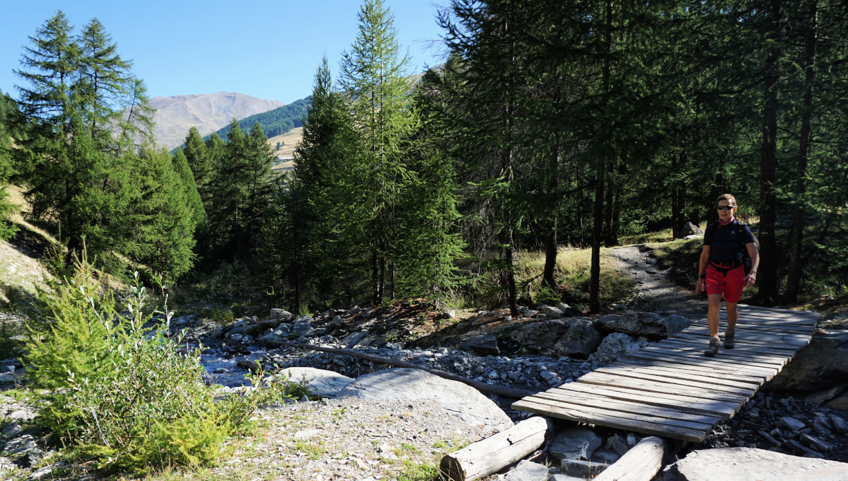 |
| Crossing Torrent de Curlet |
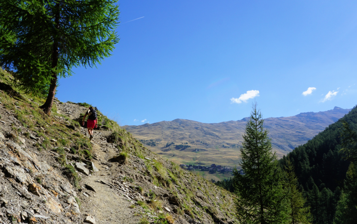 |
| GR58 after Torrent de Curlet |
 |
| GR58 Bois du Moulin in background |
This time good weather was forecasted for the whole day, and we first descended along the GR58 from St-Véran to Pont du Moulin (1849 m), and crossed the l’Aguie Blanche torrent.
The continuous ascent started after the wooden bridge. We first followed a wide track, then a good path, and crossed the Torrent de Curlet. The incline became steeper. GR trails are very well marked (white-red) and this itinerary did not make an exception. We crossed another stream, and ascended a while in the woods before reaching beautiful Alpine meadow above the tree line. Our goal, Col des Estronques, was in sight. Some rocky stretches remained, nothing difficult or exposed. Apart from the rather short Alpine meadow, the trail was steep.
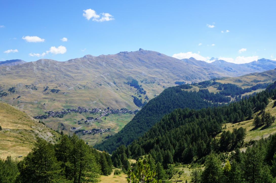 |
| Saint-Véran and Pic du Ch.Renard |
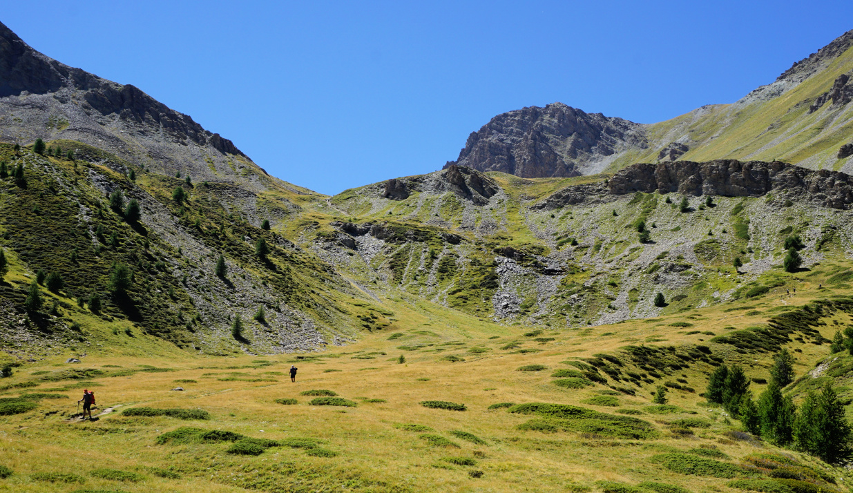 |
| Alpine meadow before Col des Estronques |
 |
| GR58 near col des Estronques |
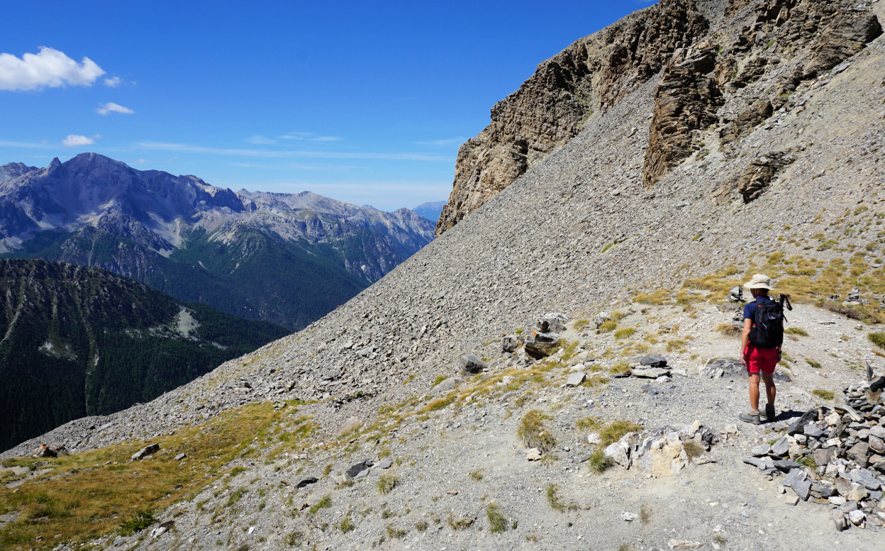 |
| Col des Estronques |
The day remained clear with just some cumulus clouds, and we could admire the mountain range south of Ceillac as well as the 3000+m peaks in the north, such as Grand Glaiza and Bric Froid.
A trail went up to Tête de Jacquette (2757 m), the nearest mountain top east of the col.
We took the same trail back to St-Véran. Depending on where you stay, the ascent from Pont du Moulin is 150-200 m.
Climb: ~950 m (ascent back to St-Véran included)
Distance: 11 km
Duration: about 5 h active
Map: 3637 OT Mont Viso St-Véran. Aiguilles PNR du Queyras
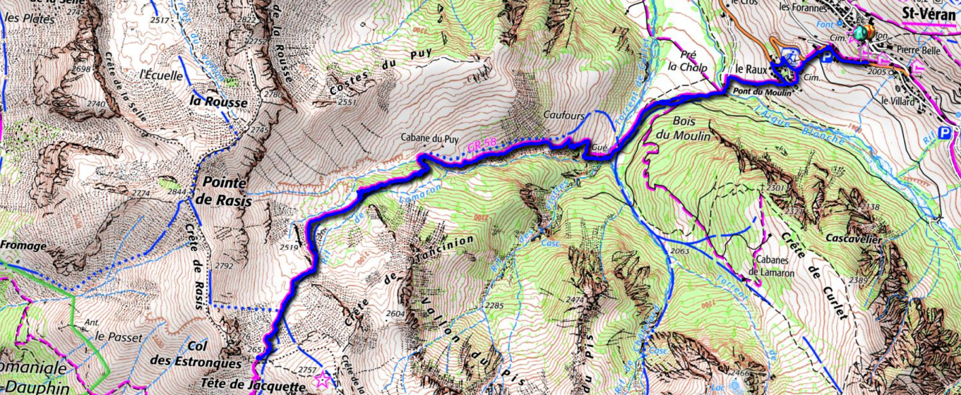 |
| Col des Estronques hike trail |


0 comments:
Note: only a member of this blog may post a comment.