Monêtier les Bains: Pas de l'Ane and Serre Chevalier
In summer, some of the chairlifts in the Serre Chevalier area open, serving walkers, sightseers and mountain bikers.
Taking an advantage of them is a very good idea if thunderstorms are forecasted in the afternoon or if you simply prefer to do a shorter hike. But thanks to the vast network of trails, you can perfectly well start at over 2000 m elev. and still find long and strenuous itineraries if you wish.
Here’s what we did on the last two days of our stay:
Day 1: Pas de l’Ane (2494 m)
From Monétier les Bains (1500 m), we took the Bachas chair lift up to 2174 m. In winter, it is the westernmost part of the big Serre Chevalier ski resort. The GR54 runs past le Bachas.
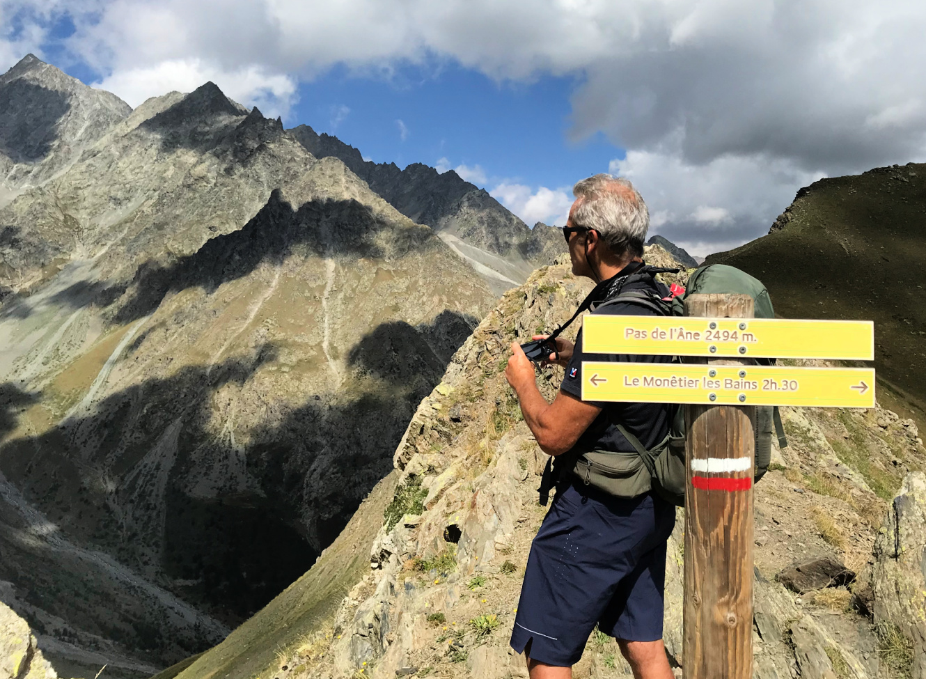
We followed the GR54 to the south, ascending a bit. It was basically a wide track. After about one km, we forked right, first following another gravel track, then a path. The scenery was surprisingly wild and the incline became steep before the col. The mountain pass too was narrow and steep. The nearest glaciers were less than 3 km away in the west.
We descended back to the Bachas chairlift, first along the same trail, then took a shortcut along some unofficial trails and meadows.
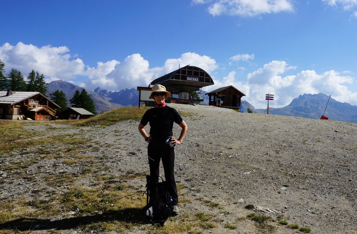 |
| Bachas chairlift Monêtier |
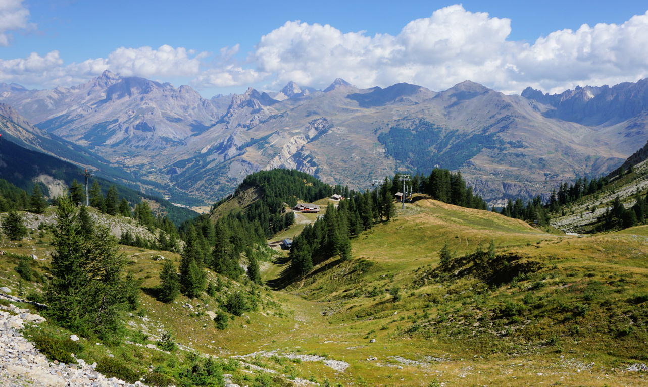 |
| Le Bachas view north |
 |
| Towards Pas de l'Ane |
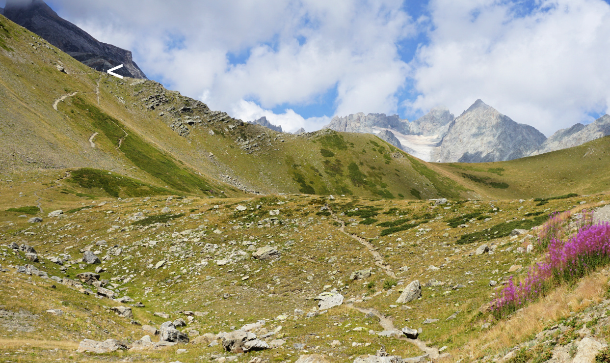 |
| Pas de l'Ane in sight |
 |
| Landscape west of Pas de l'Ane |
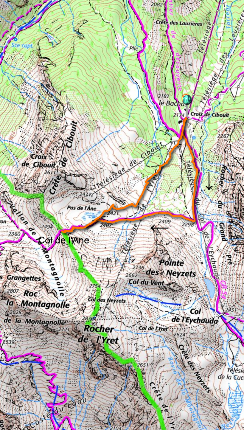 |
| Monetier Pas de l'Ane hike track |
Distance: 4 km
Climb: 340 m
Duration: 2h
Day 2: Serre Chevalier
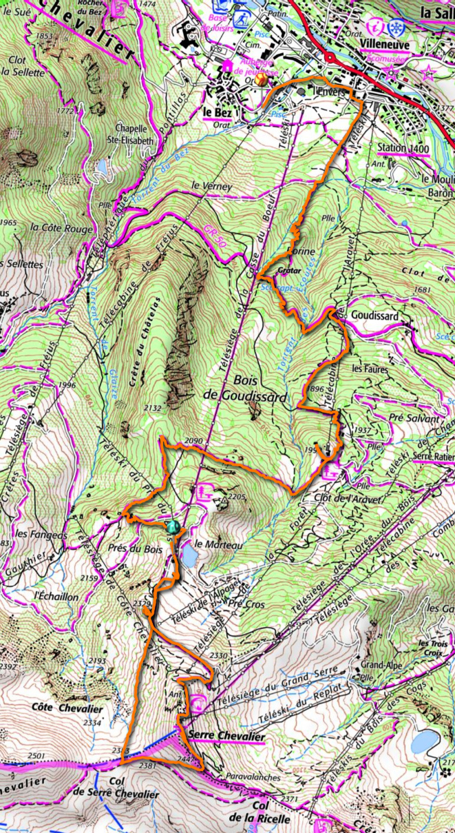
The long chairlift named Casse du Boeuf runs from the village of Villeneuve (1400 m) to about 2300 m. We paid 10,10€ p.p. for the ride (same as Bachas). We were in the middle of paths, tracks, ski lifts and of course mountain bike trails. The mountain peak of Serre Chevalier was still a bit above us in the south. We followed a trail which circled under its southern flank to Col de Serre Chevalier (2383 m), then forked left and climbed to the fairly crowded summit, where we could again admire the glaciers in the west and Mount Chaberton on the Italian border, still with fresh snow after the previous night’s storm.
We descended to the restaurant near our chair lift for lunch, then used the long and beautiful forest trail via Clot de l’Aravet and Goudissard (well signposted) back to Villeneuve.
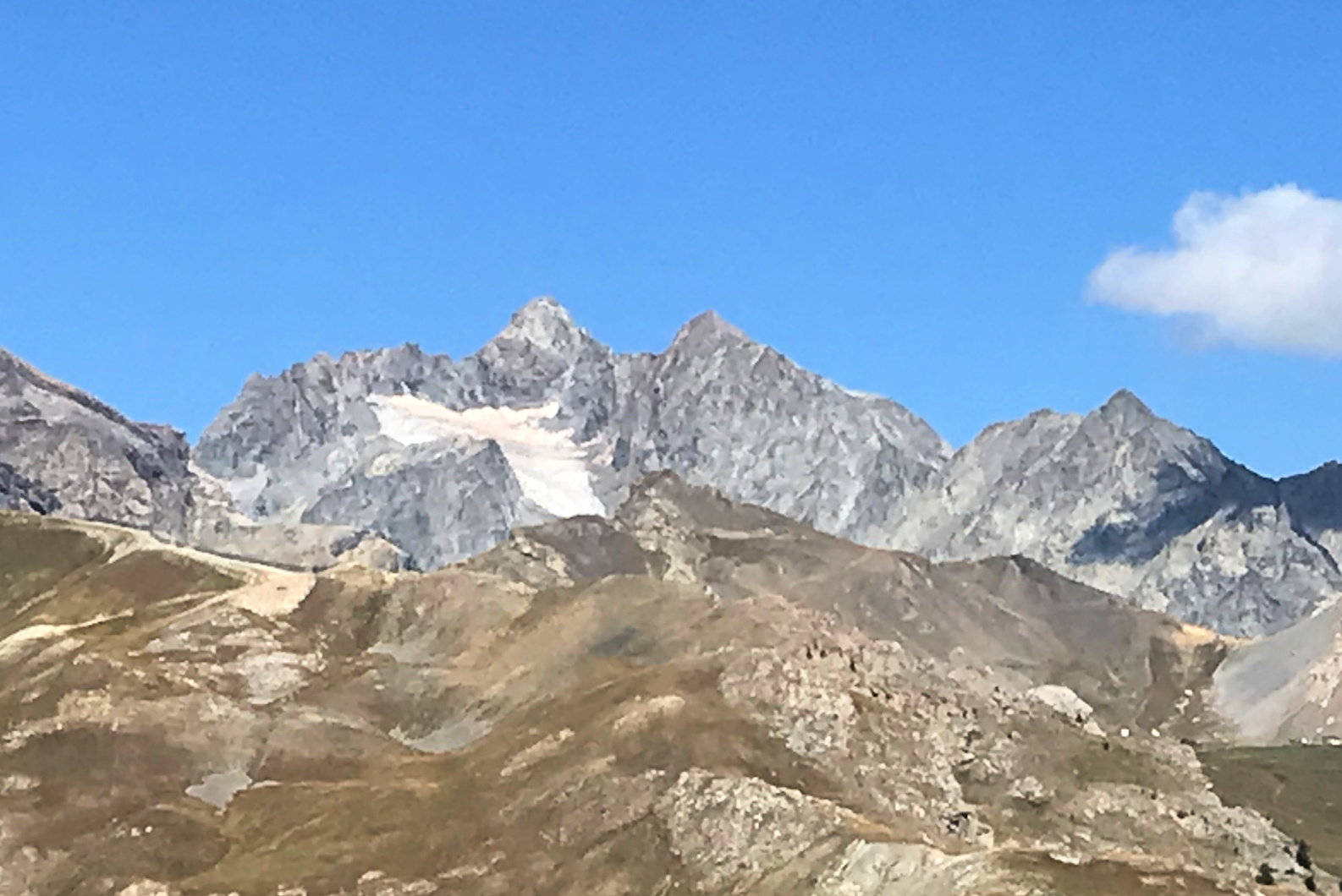 |
| View west from Serre Chevalier |
 |
| Glacier near Serre Chevalier |
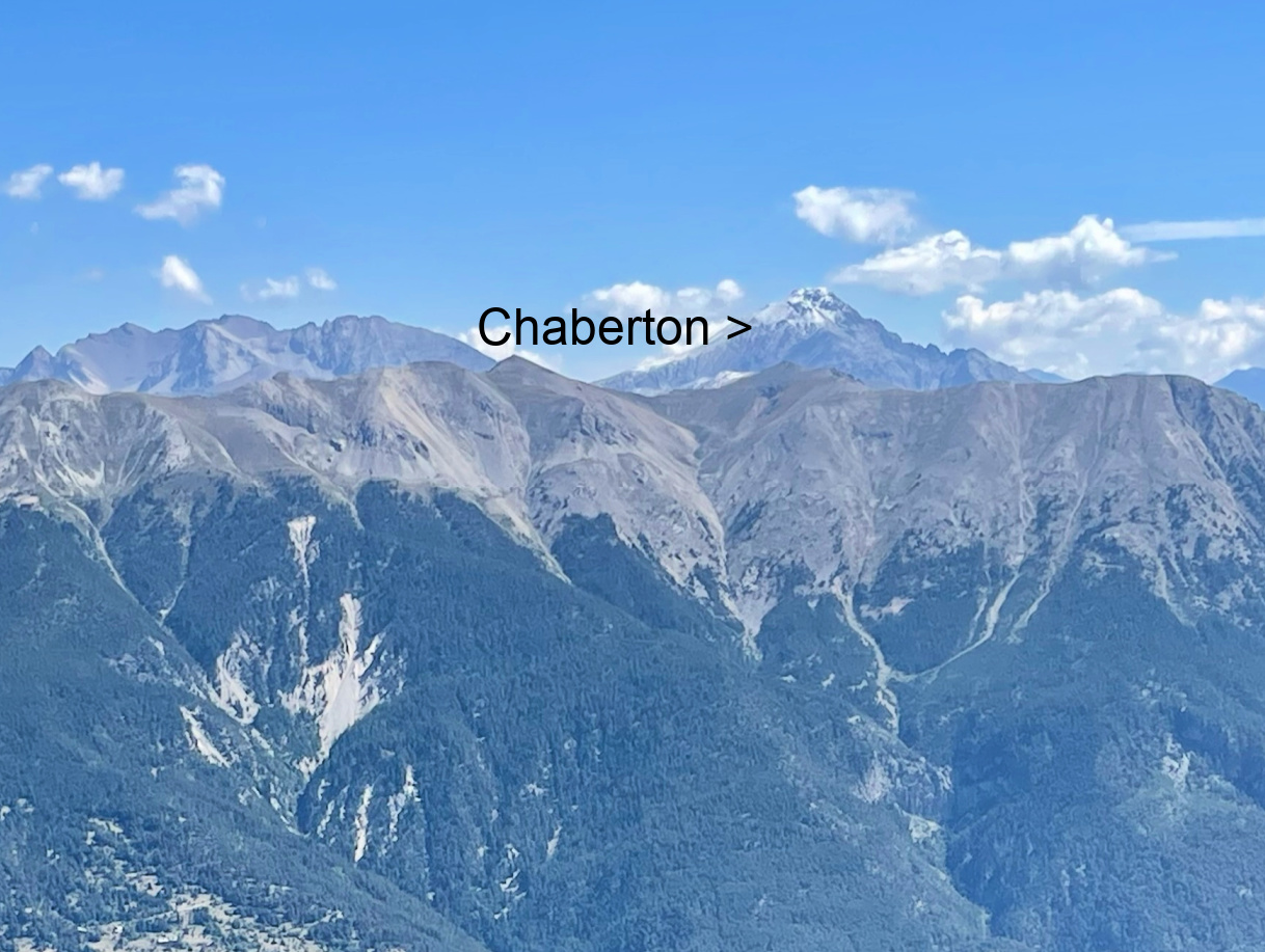 |
| Mount Chaberton viewed from Serre Chevalier |
Distance: 11,6 km
Climb: 270 m
Descent: 1130 m
Duration: 4h 45




0 comments:
Note: only a member of this blog may post a comment.