Winter salad à la Salo

Winter salad à la Salo


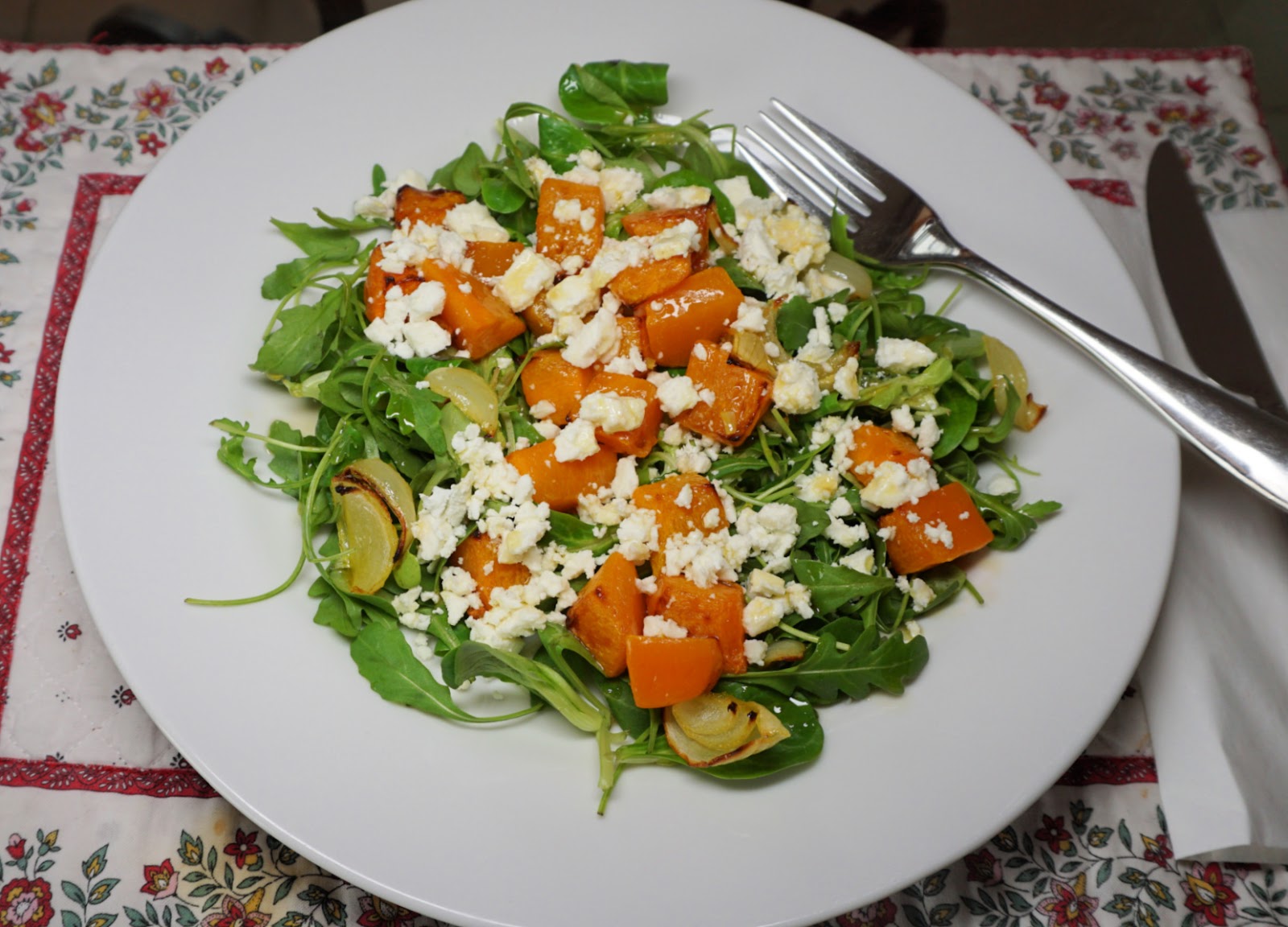
This recipe is inspired by a first course we had in a restaurant in Salo, Finland one snowy winter evening. The combination of roasted winter squash cubes, rocket salad leaves, and crumbled feta cheese was very tasty.

With some good wholegrain bread, you can serve the salad for a light and anti-oxidant rich lunch. A smaller portion makes a nice first course.

2 servings for lunch

2 handfuls of winter squash cubes

1 small onion, sliced

1 clove garlic, minced

Olive oil

3 handfuls of rocket salad leaves

A handful of crumbled feta

2 tbsp. olive oil vinaigrette


Preheat the oven to 210°C, roast.


Place 2 tbsp. olive oil in a plastic bag. Add the winter squash cubes, onion slices, and minced garlic. Shake well and pour into an oven- proof dish in one layer. Roast for 25- 30 minutes until the vegetables are soft and have got some colour. Set aside.


Divide the salad on the plates. Add the roasted vegetables and top with crumbled feta. Sprinkle with olive oil vinaigrette.


0 comments:

Note: only a member of this blog may post a comment.

Saint-Véran: Col des Estronques


View southeast from Col des Estronques


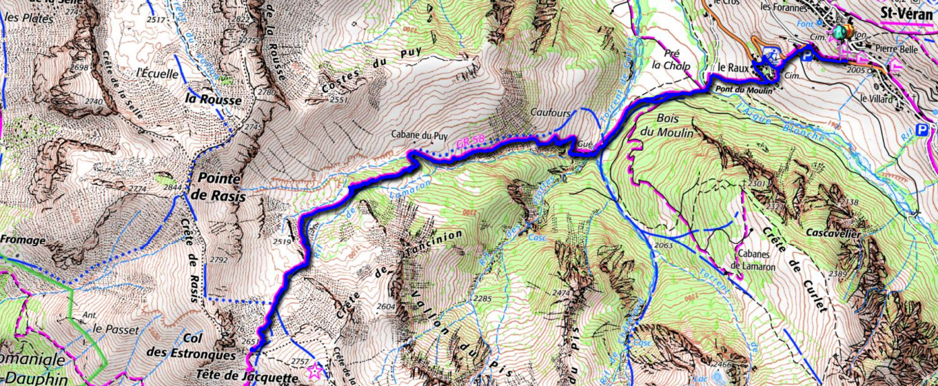
The 130 km* long GR58 (Tour de Queyras) long distance hiking trail connects St-Véran (2040 m) and Ceillac (1640 m) in the Queyras Regional Nature Park.

The trail runs via the Col des Estronques Mountain pass (2651 m). Some years ago, we had to turn around just before the col when a fierce thunderstorm hit the area.

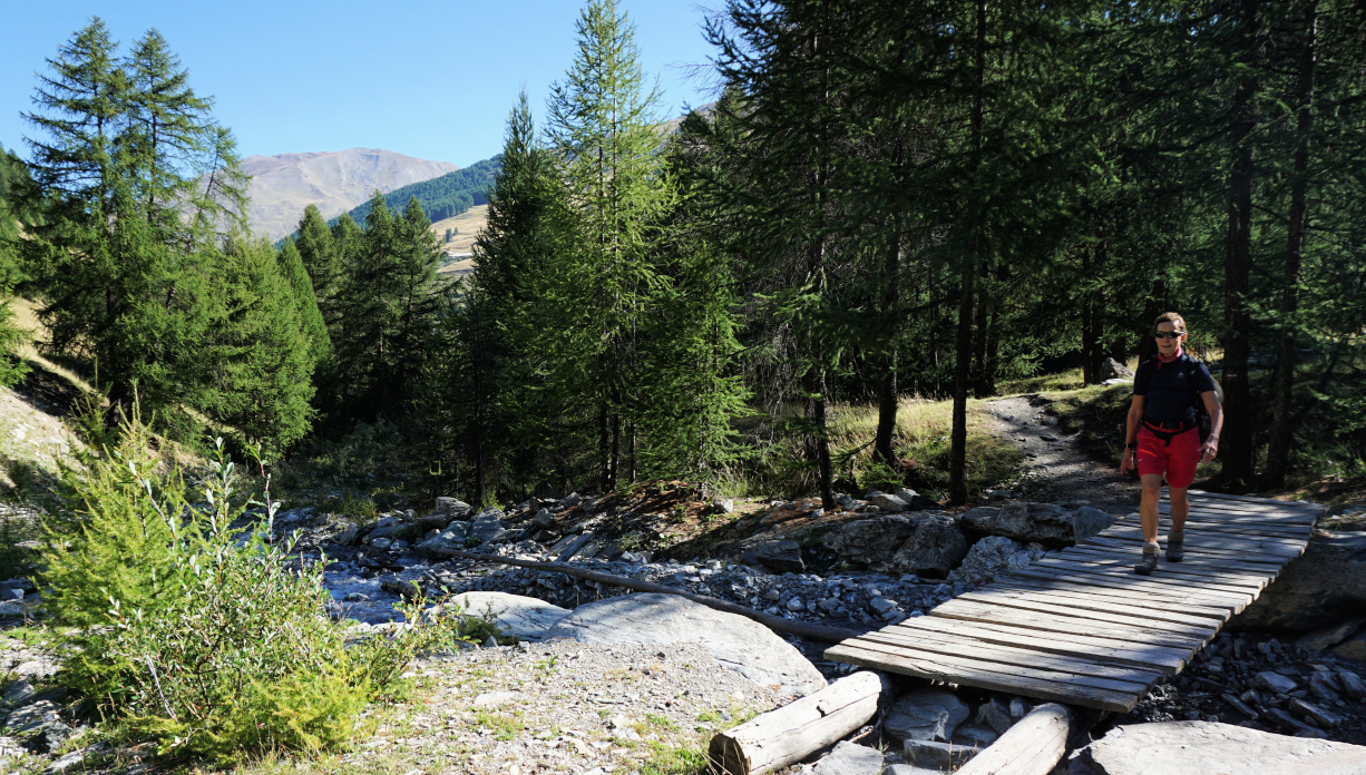
Crossing Torrent de Curlet
GR58 after Torrent de Curlet
GR58 Bois du Moulin in background

This time good weather was forecasted for the whole day, and we first descended along the GR58 from St-Véran to Pont du Moulin (1849 m), and crossed the l’Aguie Blanche torrent.


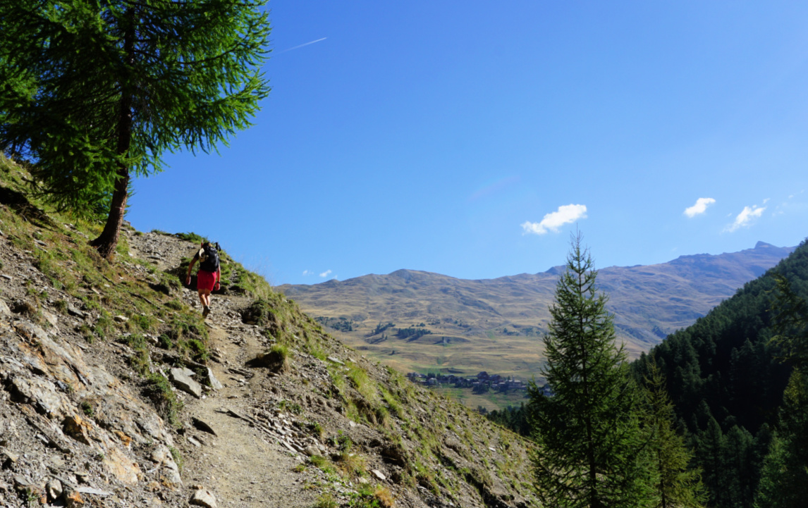
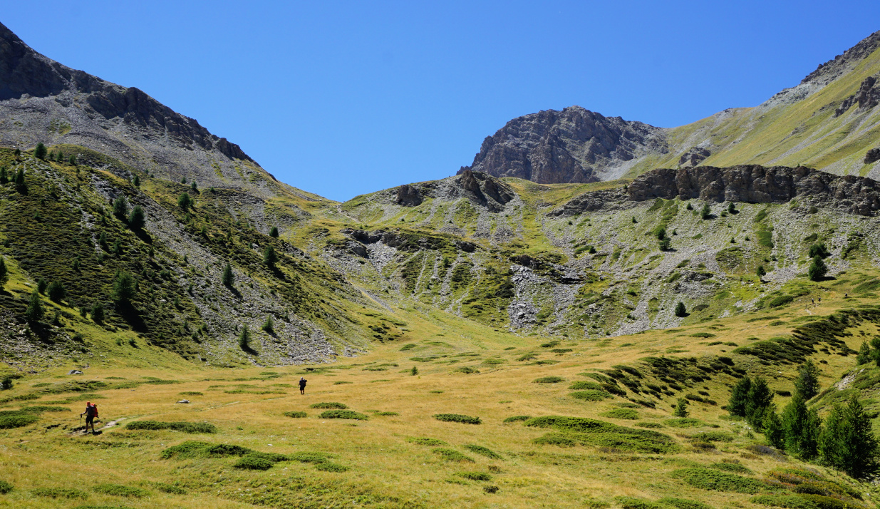
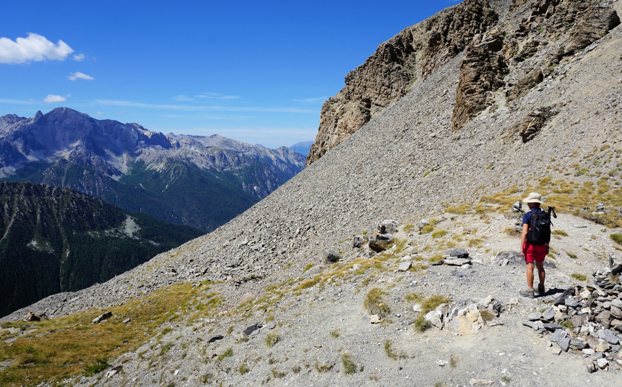
The continuous ascent started after the wooden bridge. We first followed a wide track, then a good path, and crossed the Torrent de Curlet. The incline became steeper. GR trails are very well marked (white-red) and this itinerary did not make an exception. We crossed another stream, and ascended a while in the woods before reaching beautiful Alpine meadow above the tree line. Our goal, Col des Estronques, was in sight. Some rocky stretches remained, nothing difficult or exposed. Apart from the rather short Alpine meadow, the trail was steep. 


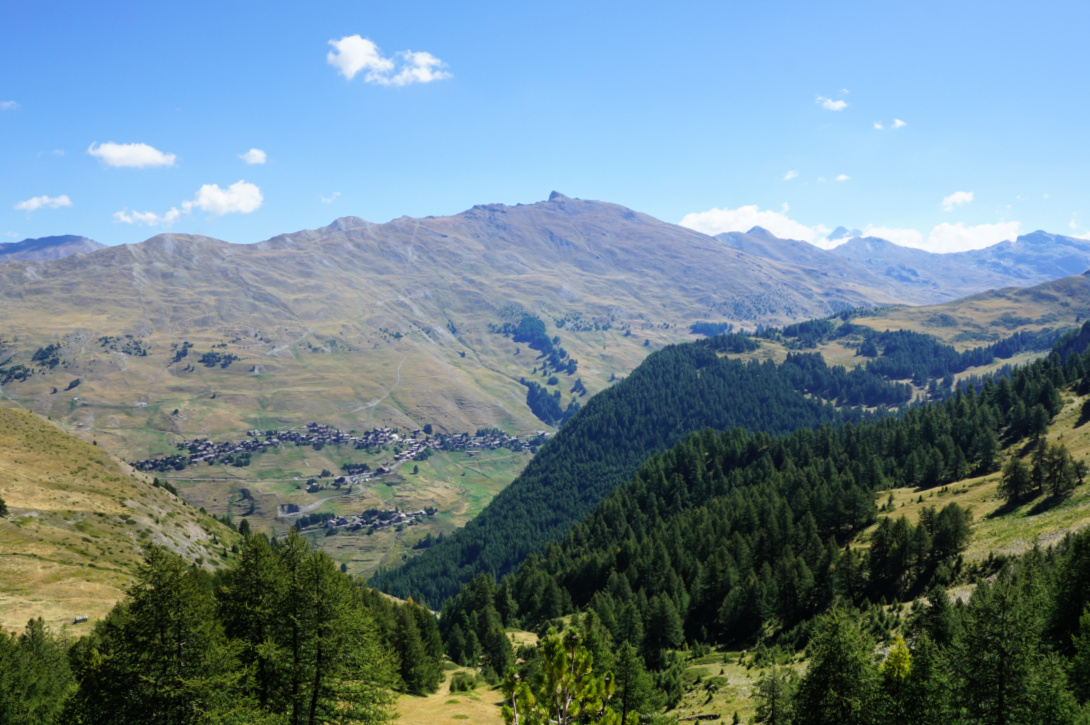
Saint-Véran and Pic de Ch.Renard
Saint-Véran and Pic du Ch.Renard
Alpine meadow before Col des Estronques
GR58 near Col des Estronques
GR58 near col des Estronques
Col des Estronques
Col des Estronques

The day remained clear with just some cumulus clouds, and we could admire the mountain range south of Ceillac as well as the 3000+m peaks in the north, such as Grand Glaiza and Bric Froid.


A trail went up to Tête de Jacquette (2757 m), the nearest mountain top east of the col. 


We took the same trail back to St-Véran. Depending on where you stay, the ascent from Pont du Moulin is 150-200 m.


Climb: ~950 m (ascent back to St-Véran included)


Distance: 11 km

Duration: about 5 h active

Map: 3637 OT Mont Viso St-Véran. Aiguilles PNR du Queyras


Col des Estronques hike trail


0 comments:

Note: only a member of this blog may post a comment.

Roasted chicken breasts coated with Dijon mustard and breadcrumbs

Roasted chicken breasts coated with Dijon mustard and breadcrumbs


The following recipe makes a quick and tasty dinner when you need the food fast on the plates after a long day in the mountains or elsewhere…Serve it with black or parboiled brown rice and some simple roasted vegetables like courgette wedges or tomato halves.

2 servings

2 chicken breasts

2 tbsp. breadcrumbs

2 tbsp. grated parmesan cheese

Freshly ground black pepper

A generous amount, about 2 tbsp. Dijon mustard

Olive oil


Preheat the oven to 200° C, roast.


Combine the breadcrumbs, parmesan cheese, and black pepper. Spread the mixture on a plate.


Spread the mustard on both sides of chicken breasts, then coat them with the breadcrumb mixture. Transfer the chicken breasts in an oiled oven- proof dish and sprinkle some olive oil on them. Roast for 25 minutes together with the vegetables.


Meanwhile cook the rice. Divide the chicken, vegetables, and rice on the plates and decorate with some fresh herbs.

0 comments:

Note: only a member of this blog may post a comment.

Monêtier les Bains: Pas de l'Ane and Serre Chevalier


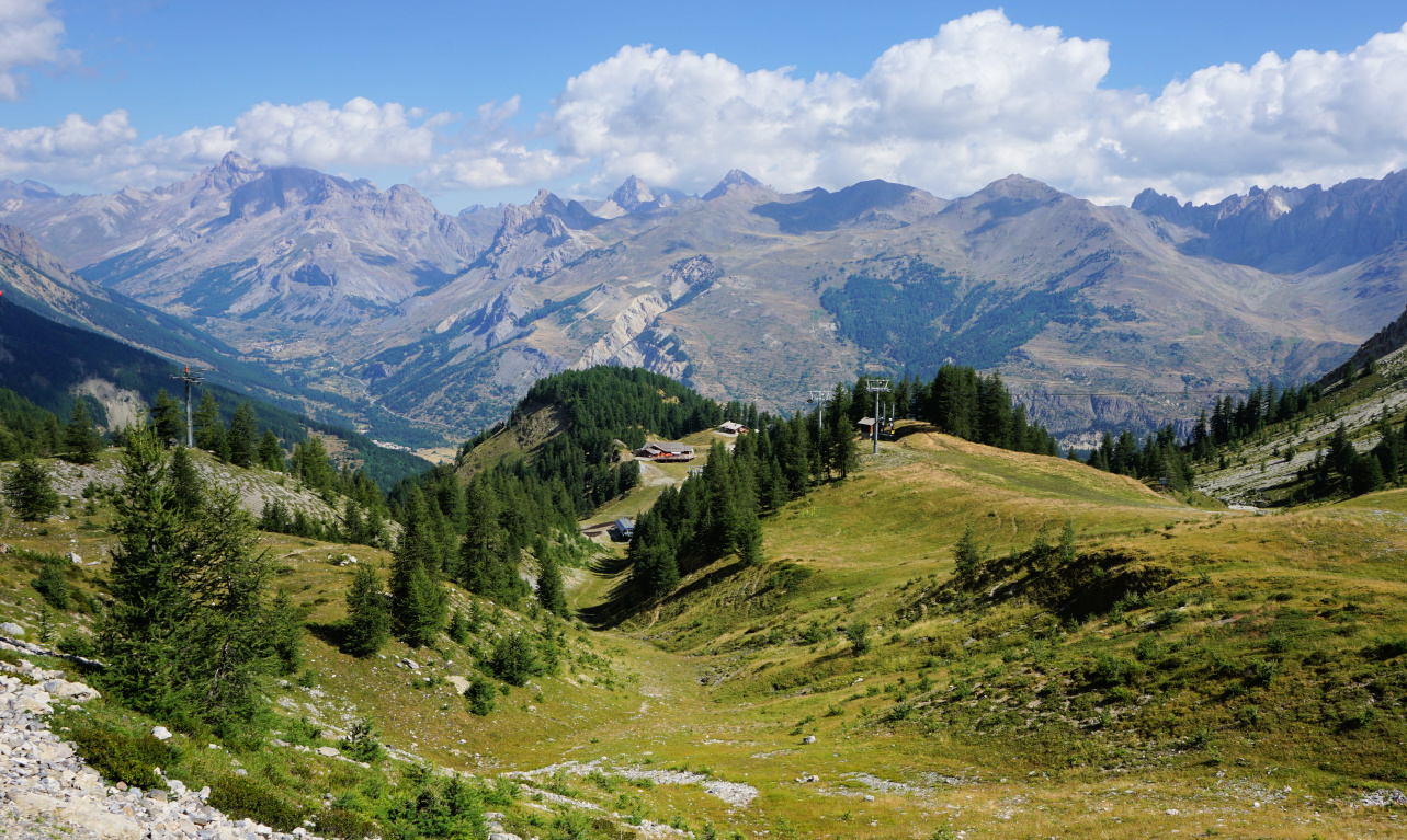
Pas de l'Ane Monetier
                            Pas de l'Ane above Monetier

In summer, some of the chairlifts in the Serre Chevalier area open, serving walkers, sightseers and mountain bikers.

Taking an advantage of them is a very good idea if thunderstorms are forecasted in the afternoon or if you simply prefer to do a shorter hike. But thanks to the vast network of trails, you can perfectly well start at over 2000 m elev. and still find long and strenuous itineraries if you wish.

Here’s what we did on the last two days of our stay:

Day 1: Pas de l’Ane (2494 m)

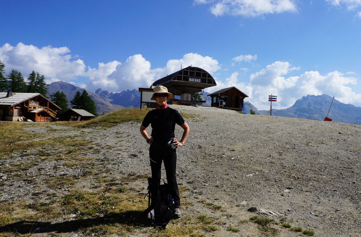
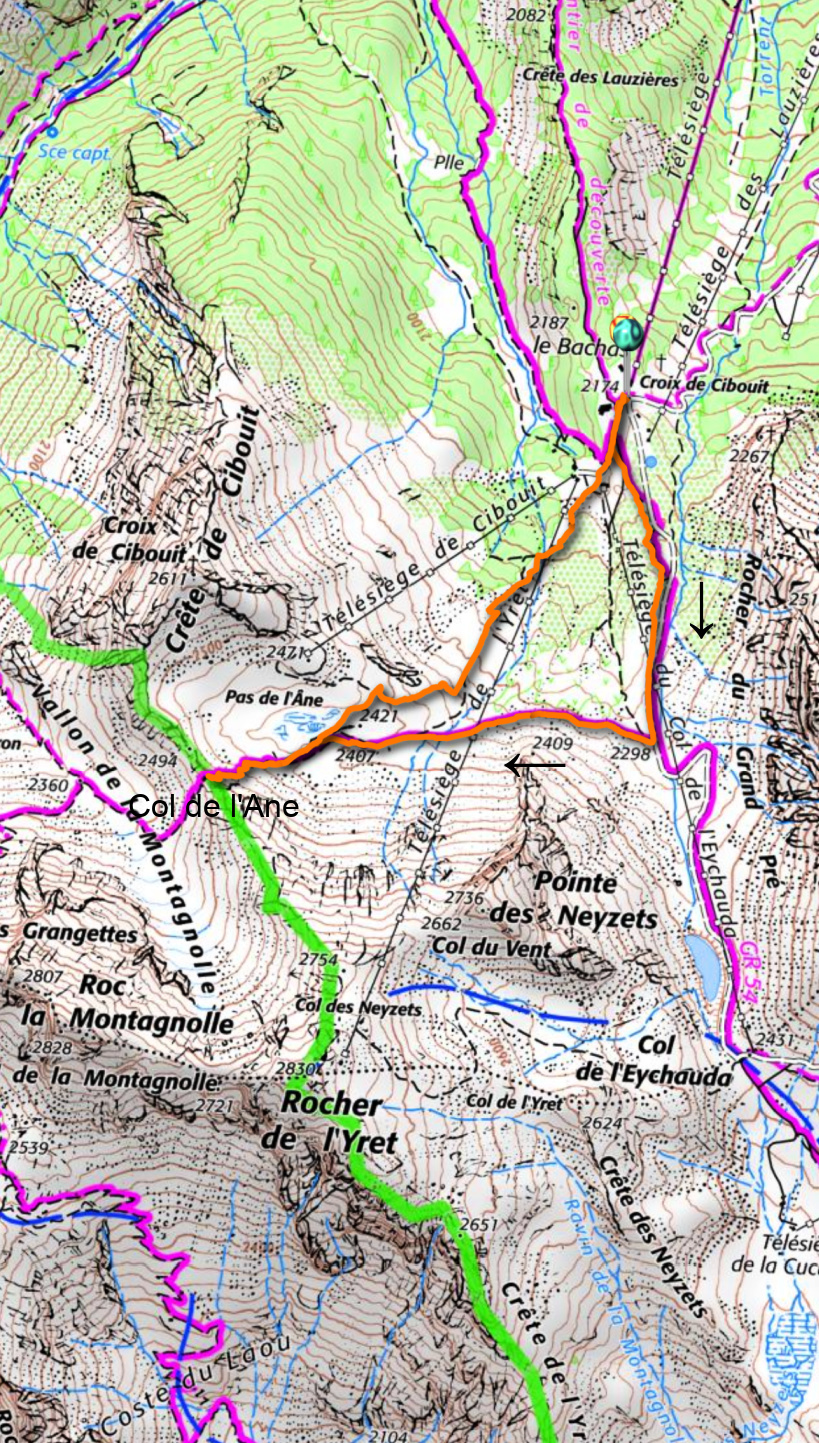
From Monétier les Bains (1500 m), we took the Bachas chair lift up to 2174 m. In winter, it is the westernmost part of the big Serre Chevalier ski resort. The GR54 runs past le Bachas. 

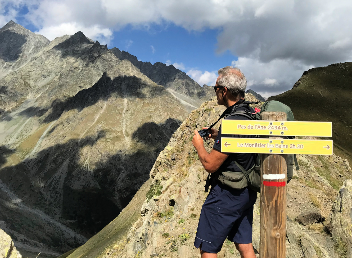
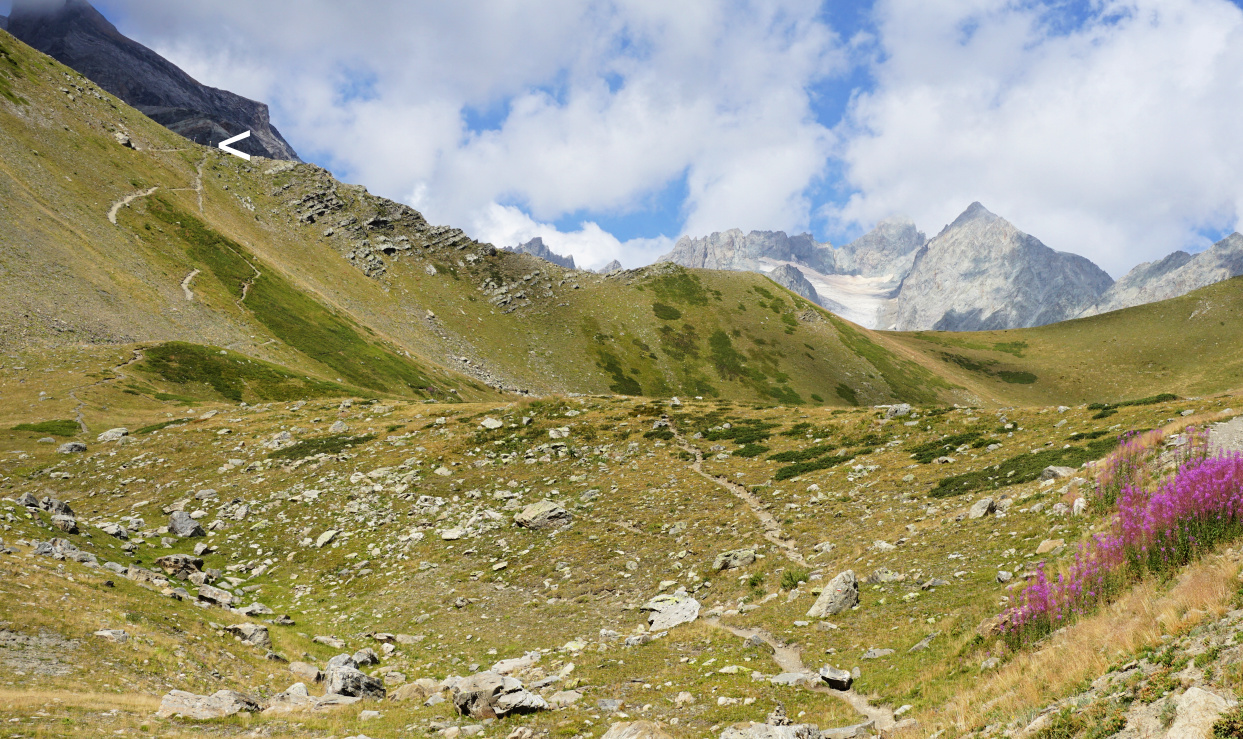
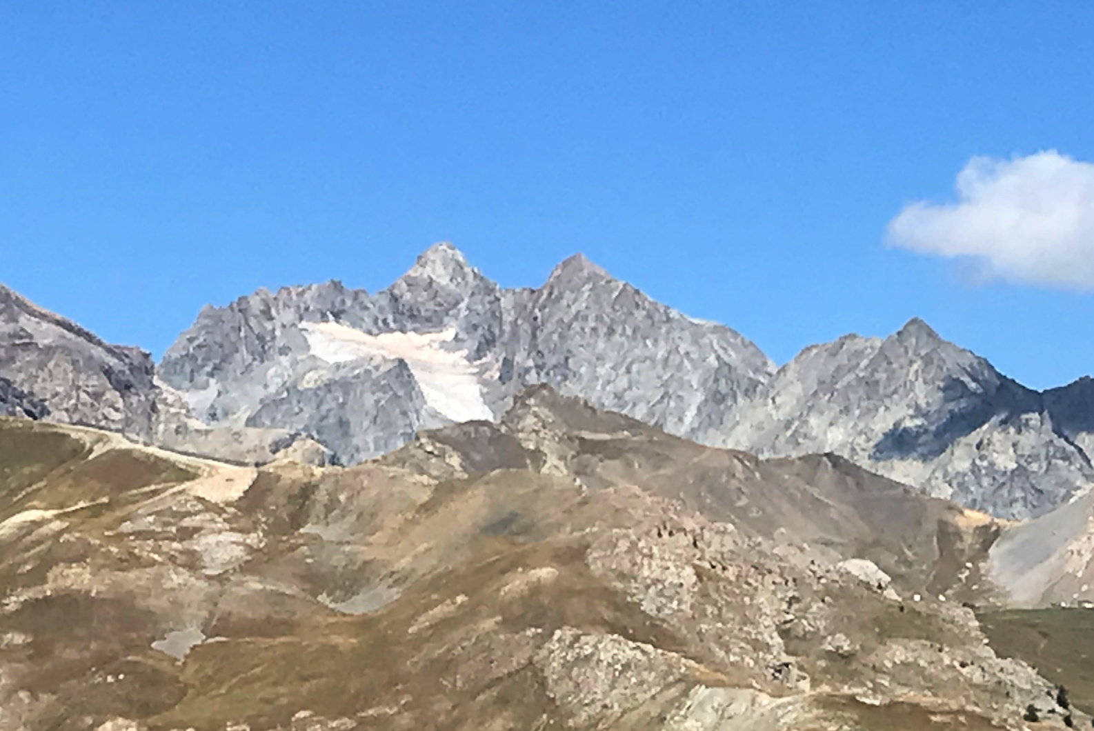
We followed the GR54 to the south, ascending a bit. It was basically a wide track. After about one km, we forked right, first following another gravel track, then a path. The scenery was surprisingly wild and the incline became steep before the col. The mountain pass too was narrow and steep. The nearest glaciers were less than 3 km away in the west.

We descended back to the Bachas chairlift, first along the same trail, then took a shortcut along some unofficial trails and meadows.

Bachas chairlift Monêtier
Le Bachas view north
Towards Pas de l'Ane
Pas de l'Ane in sight
Landscape west of Pas de l'Ane
Monetier Pas de l'Ane hike track

Distance: 4 km 

Climb: 340 m

Duration: 2h


Day 2: Serre Chevalier


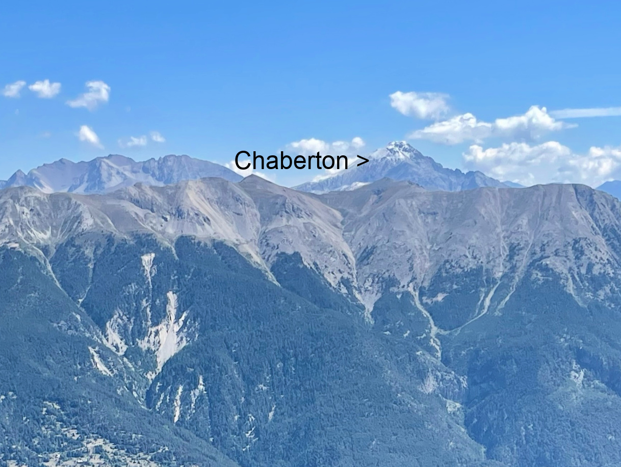
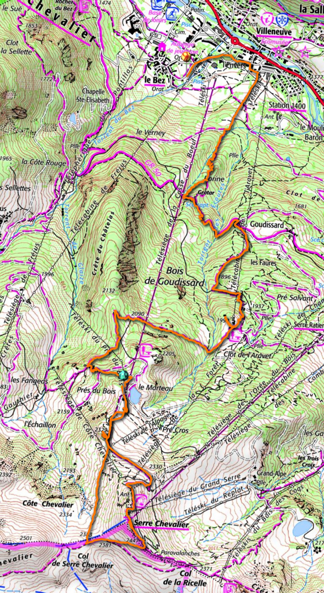
The long chairlift named Casse du Boeuf runs from the village of Villeneuve (1400 m) to about 2300 m. We paid 10,10€ p.p. for the ride (same as Bachas). We were in the middle of paths, tracks, ski lifts and of course mountain bike trails. The mountain peak of Serre Chevalier was still a bit above us in the south. We followed a trail which circled under its southern flank to Col de Serre Chevalier (2383 m), then forked left and climbed to the fairly crowded summit, where we could again admire the glaciers in the west and Mount Chaberton on the Italian border, still with fresh snow after the previous night’s storm.


We descended to the restaurant near our chair lift for lunch, then used the long and beautiful forest trail via Clot de l’Aravet and Goudissard (well signposted) back to Villeneuve.


View west from Serre Chevalier
Glacier near Serre Chevalier
Mount Chaberton viewed from Serre Chevalier


Serre Chevalier Villeneuve hike


Distance: 11,6 km

Climb: 270 m

Descent: 1130 m

Duration: 4h 45 


0 comments:

Note: only a member of this blog may post a comment.