Ceillac: Col Tronchet
 |
Col Tronchet (2661 m) above Ceillac is one of the mountain passes connecting the Queyras Region with the Ubaye Valley. It is possible to drive about 6 km in the Mélézet Valley to the very end of the narrow but paved road to a parking (not paved; at 1965 m elev.), used mainly for hikes up to the Ste-Anne Lake.
 |
| Start to Col Tronchet |
 |
| Climbing to Col Tronchet |
 |
| Col Tronchet in sight |
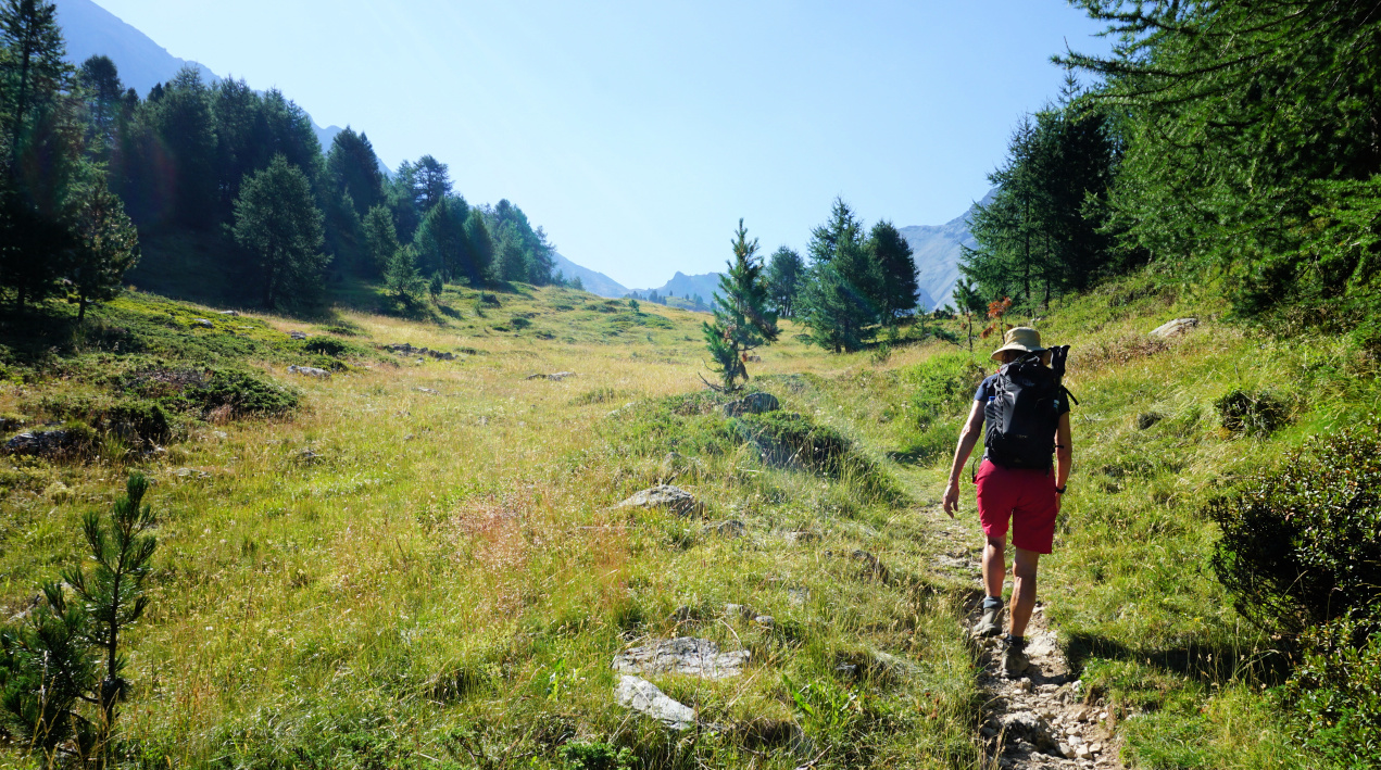
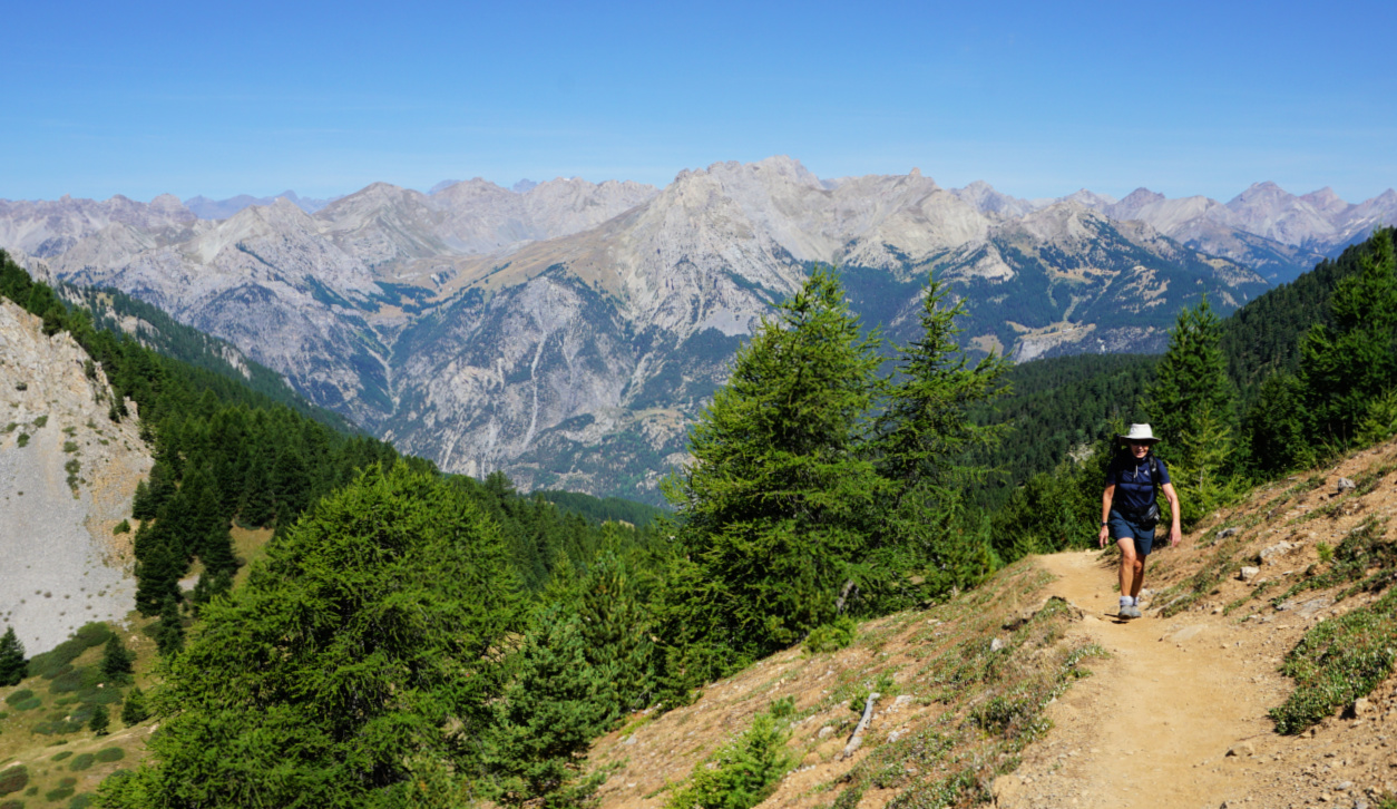
Starting in the forest, we ascended along the main trail to about 2100 m where a signpost showed the itinerary both to the lake and Col Tronchet. We continued straight, heading to the southeast and eventually reached wide Alpine meadows, following Torrent du Tronchet.
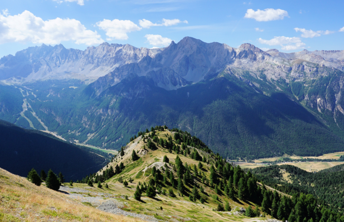
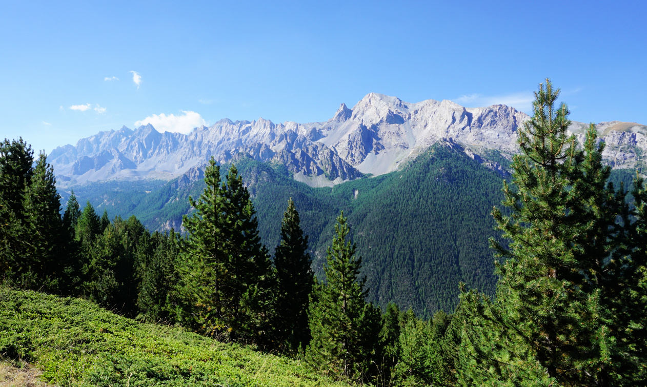
To our right, we had Tête de Girardin (2876 m), and a bit further to the west, another ancient optical telegraph post on the ridge. Incidentally, we had visited such a post on Crête des Chambrettes the previous day. To our left, the sharp relief of Rocher de l’Eissassa (3048 m) was the only summit in the Tronchet sector reaching 3000 m.
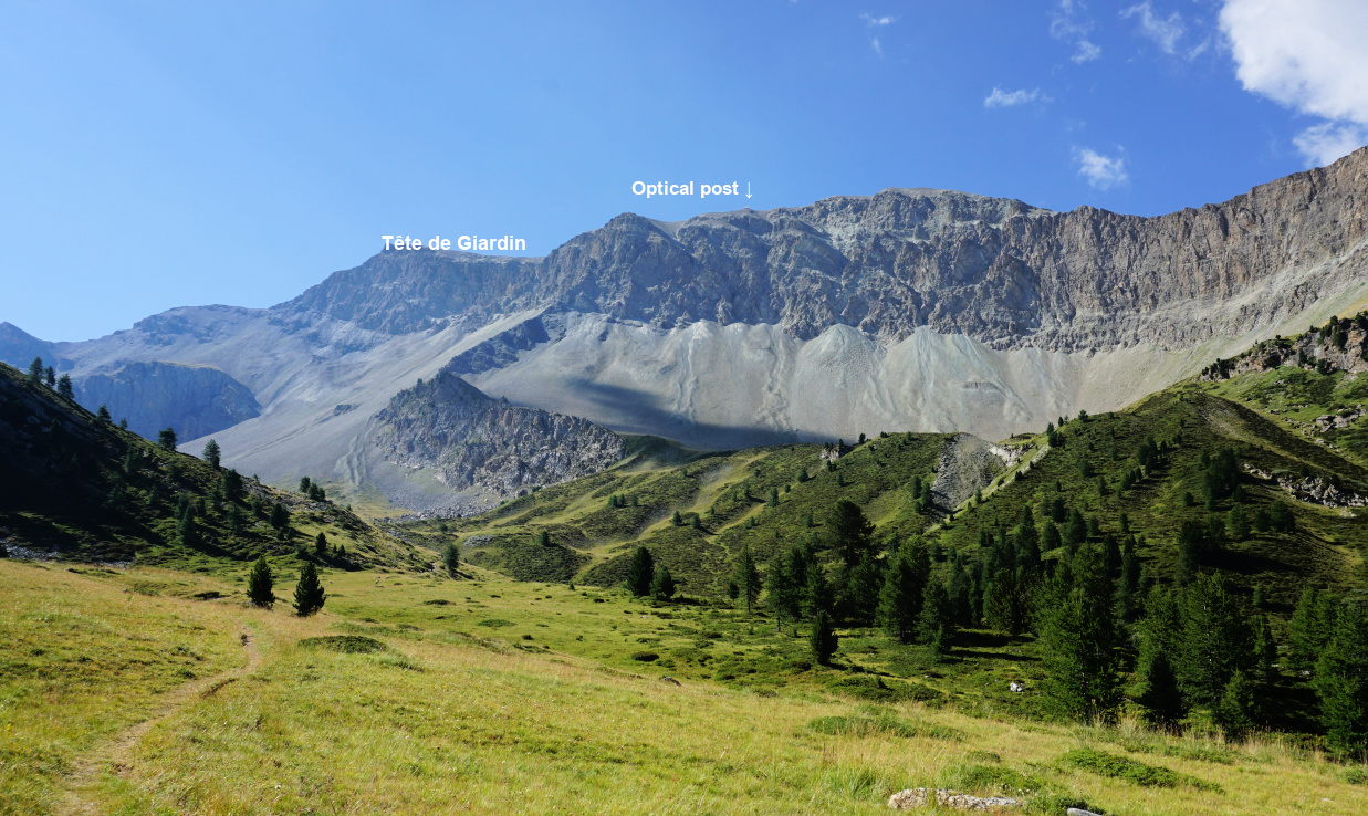 |
| Tête de Girardin |
 |
| View to west from Col Tronchet |
 |
| Descent from Col Tronchet |
 |
| Alpine meadow by the Tronchet trail |
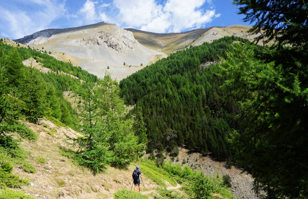
Today’s goal had been visible in front of us since leaving the forest. Nearing the mountain pass, the meadows were replaced by rockier and steeper terrain. The solitude was remarkable. There was just a sporadic hiker on the trail.
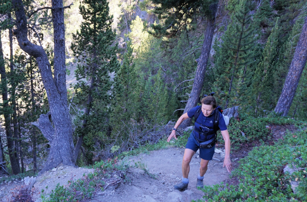
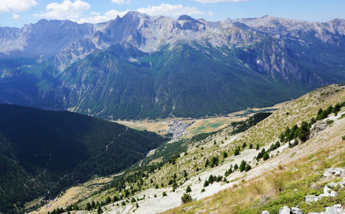
The final ascent was quite steep and the trail was narrow. Once on the col, we had views both to Ceillac and to the Chambeyron Massif with several 3000+ peaks on the south eastern side of the Ubaye Valley. The trail continued down to Maljasset.
We descended back along the same trail.
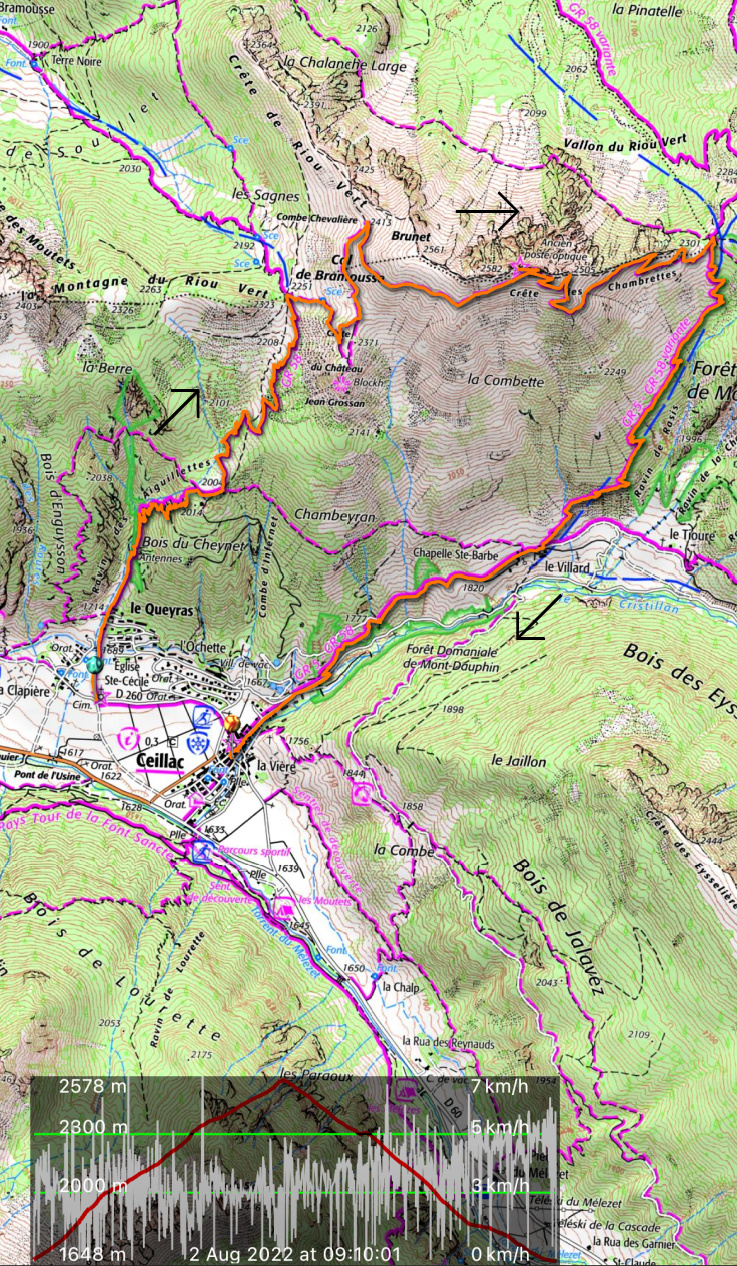
Distance: 7,5 km
Climb: 690 m
Duration: 3h 40
Map: 3537ET Guillestre and 3637 OT Mont Viso
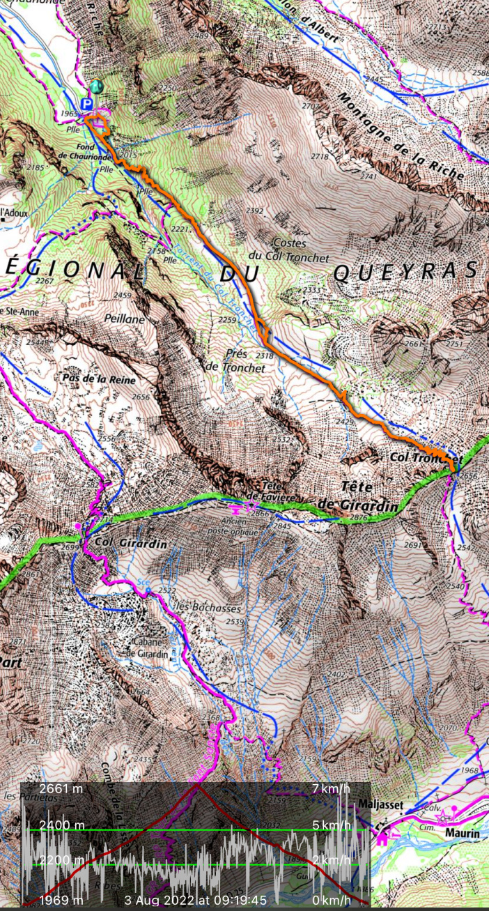 |
| Col Tronchet hike track |









0 comments:
Note: only a member of this blog may post a comment.