Les Orres: Hike to Col de l'Ane
It is possible to reach the high terrain above the resort of Les Orres via Lac de Ste Marguerite (2227 m). Having hiked to the lake a few years ago, we now wanted to climb a bit higher, to Col de l’Ane (2524 m). During the high summer season, when the chairlifts are running, you can take advantage of them. In Mid-June, however, the upper village (1800 m) was still deserted. The lift system does not reach Vallon de l’Eissalete where Lac de Ste-Marguerite is located, anyway.
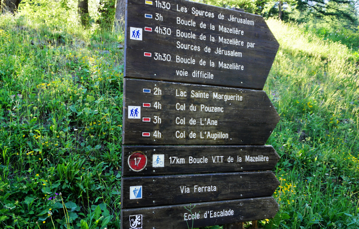 |
| Signpost at Bois Mean |
 |
| Lower Eissalete Valley |
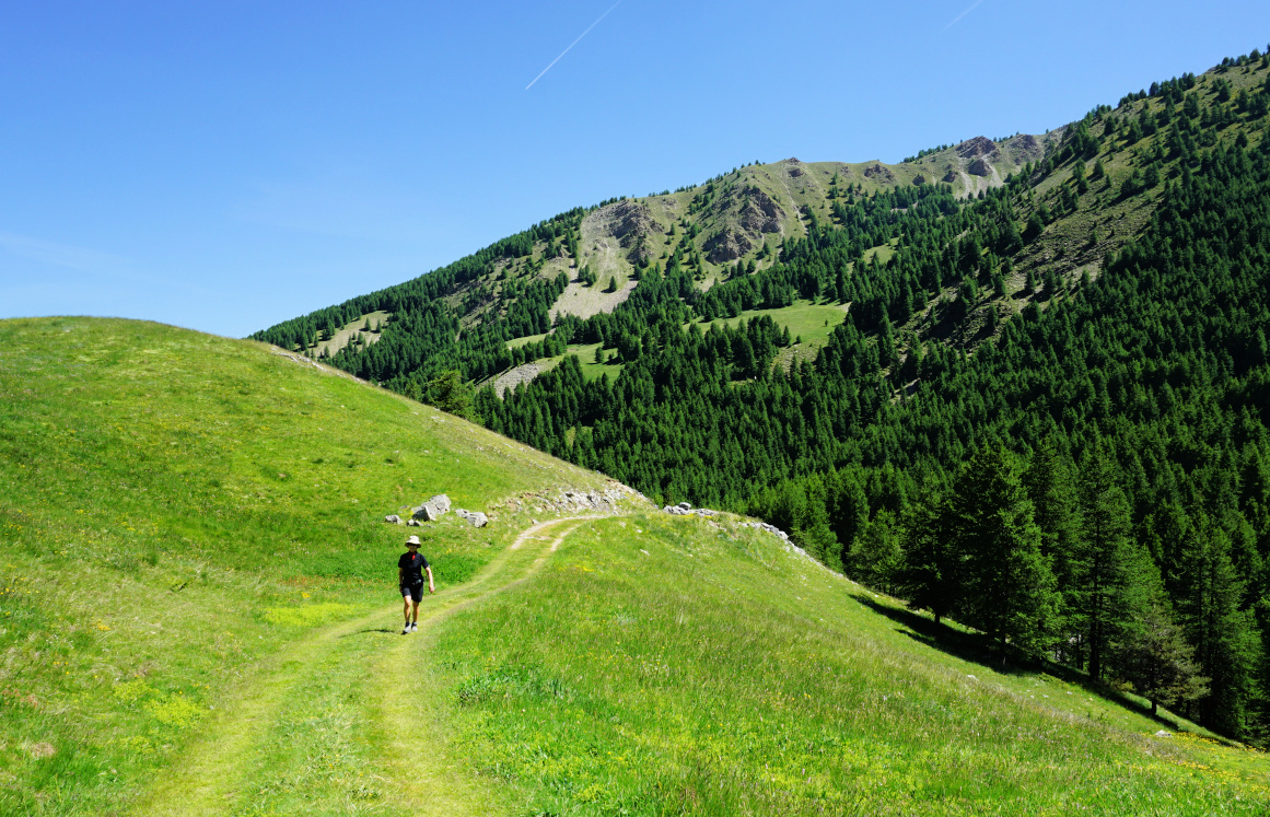 |
| Pra Paisset Orres |
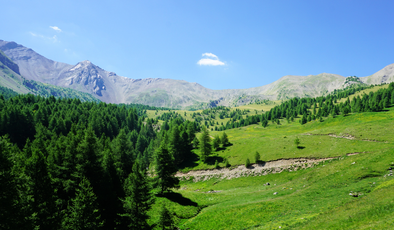 |
| Eissalete Valley Orres |
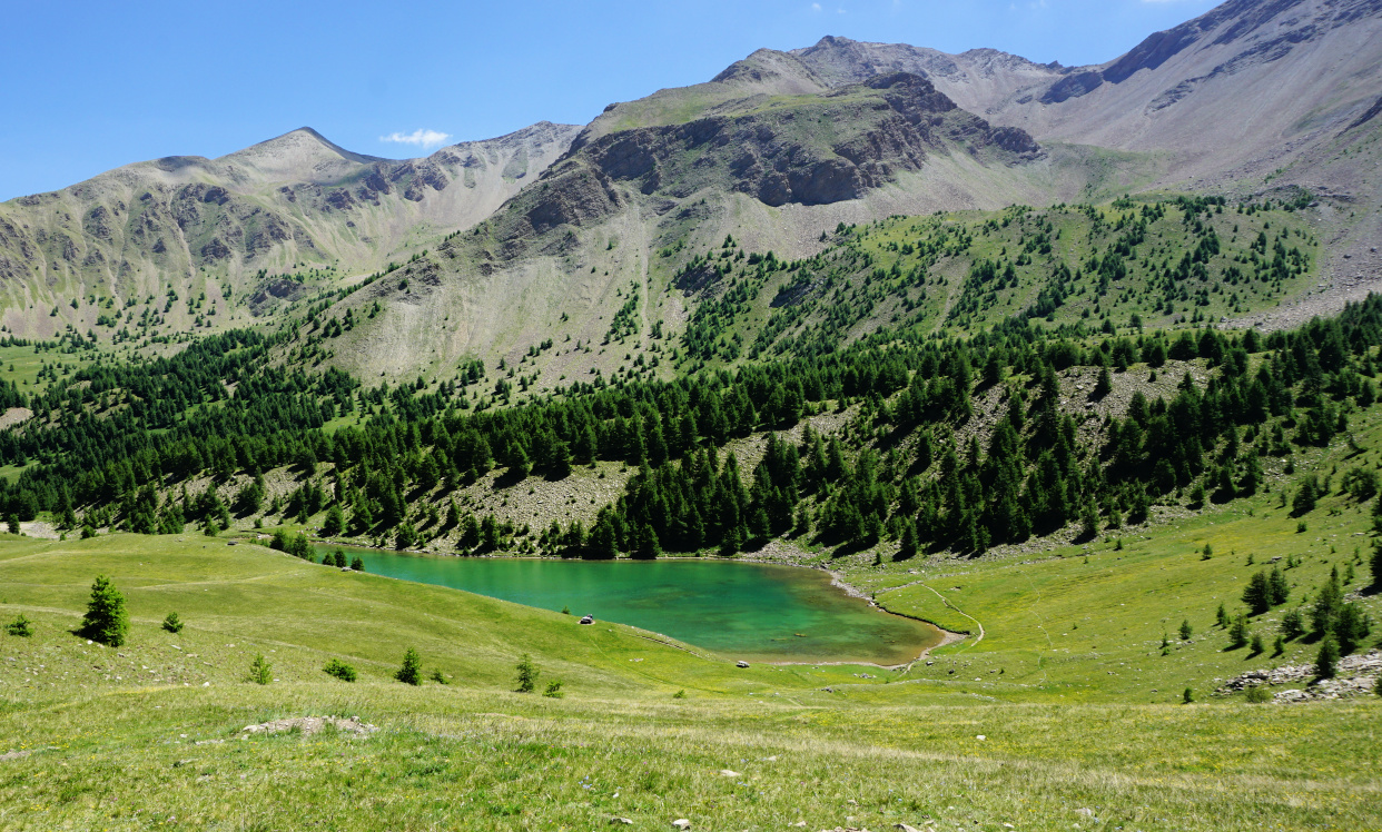 |
| Sainte-Marguerite Lake |
We used the familiar itinerary to the lake, starting from the parking at Bois Méan (~1650 m), just under the upper village. There’s a big signpost showing different itineraries. We headed south along a wide unpaved track, initially almost flat. We passed Bergerie Gautier. The track, still wide, became rockier. Now climbing steeper, we passed the crossroads to Source de Jerusalem and Col du Pouzenc. After Cabane du Lac, we left the forest behind us and entered the vast Alpine meadows in Vallon de l’Eissalete.
We soon reached the Ste-Marguerite Lake, and continued along its western shore. The trail to the mountain pass was marked with yellow and some cairns here and there. We soon met some curious marmots by the trail. The climb to the col was continuous (roughly one hour from the lake) but in no way difficult as marked in Les Orres guide.
 |
| Marmot by the trail |
 |
| Above Ste-Marguerite Lake |
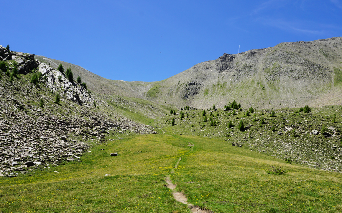 |
| Col de l'Ane in sight |
 |
| View southeast from Col de l'Ane |
 |
| Start of return trail to Les Orres |
 |
| Return trail to Les Orres |
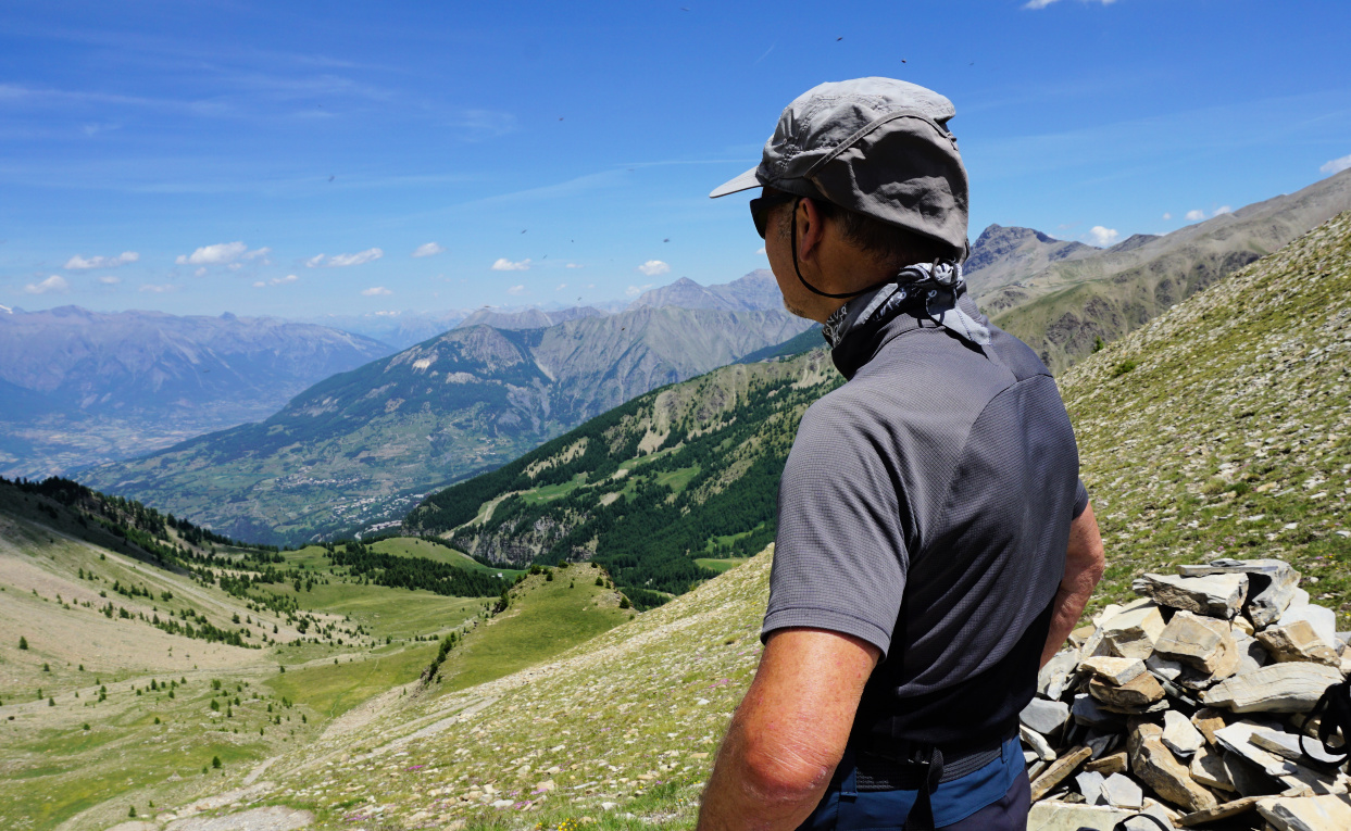
The pass (also named Col de l’Eissalete) marked our turning point today. A “technical” ridge itinerary continued to the east to Aupillon (2916 m; the highest peak above Les Orres). We had great views down to the Ubaye River Valley and beyond as well as to the north Les Ecrins etc.
We descended to the lake, then forked right soon after, and followed the trail which went to Les Orres 1800. We crossed a small stream (a wooden bridge) and headed north. It was a most pleasant and soft path in the woods. In fact, nicer than the ascending trail! We stayed higher up fairly long before starting to descend to the resort. There were good signposts.
From Les Orres 1800, we descended along the road back to our starting point.
Map: 3438 ET Embrun Les Orres




0 comments:
Note: only a member of this blog may post a comment.