St-Dalmas le Selvage: Around Tête de Cristel via three mountain passes


Col de Cime Plate
Col de Cime Plate

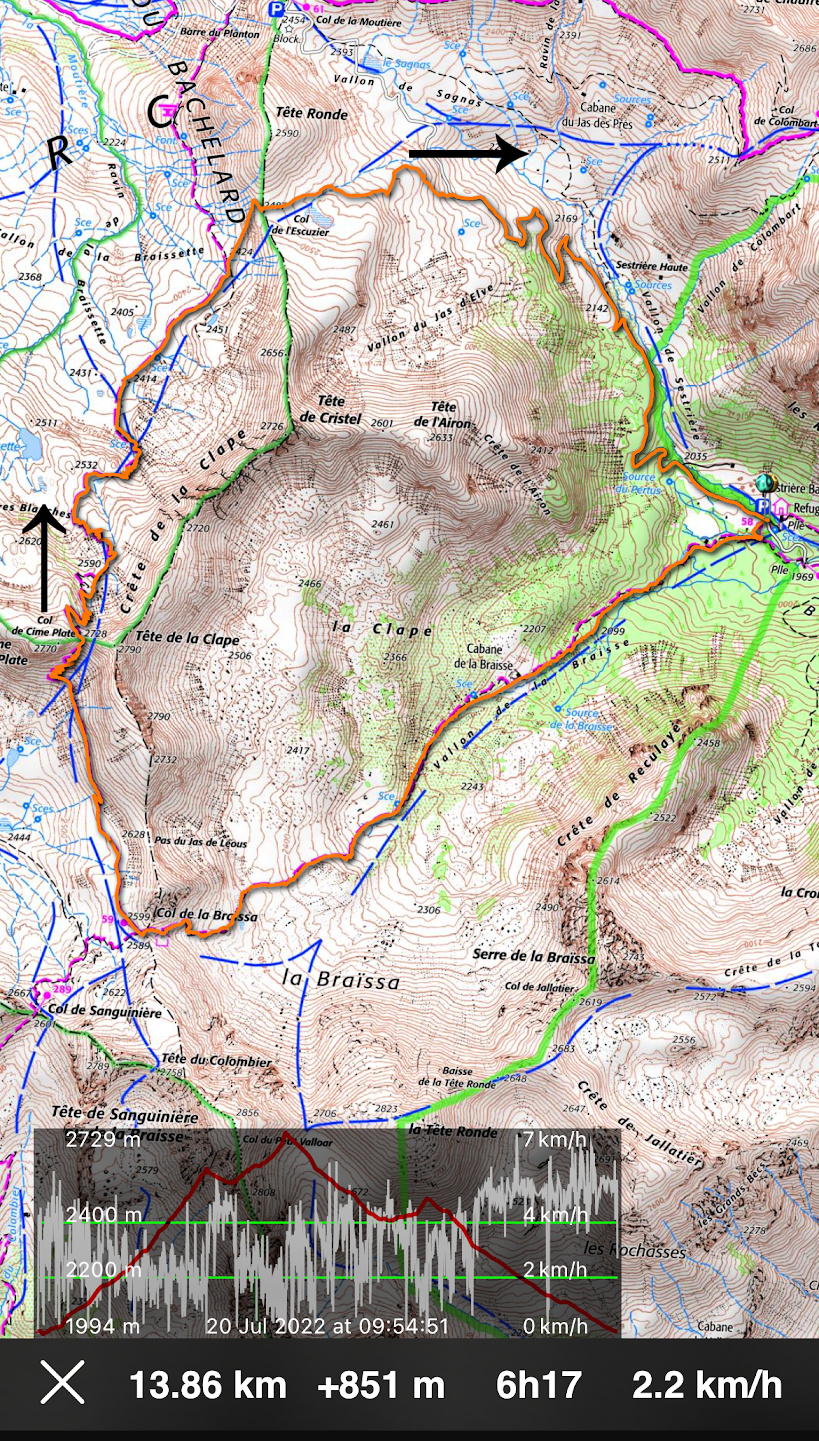
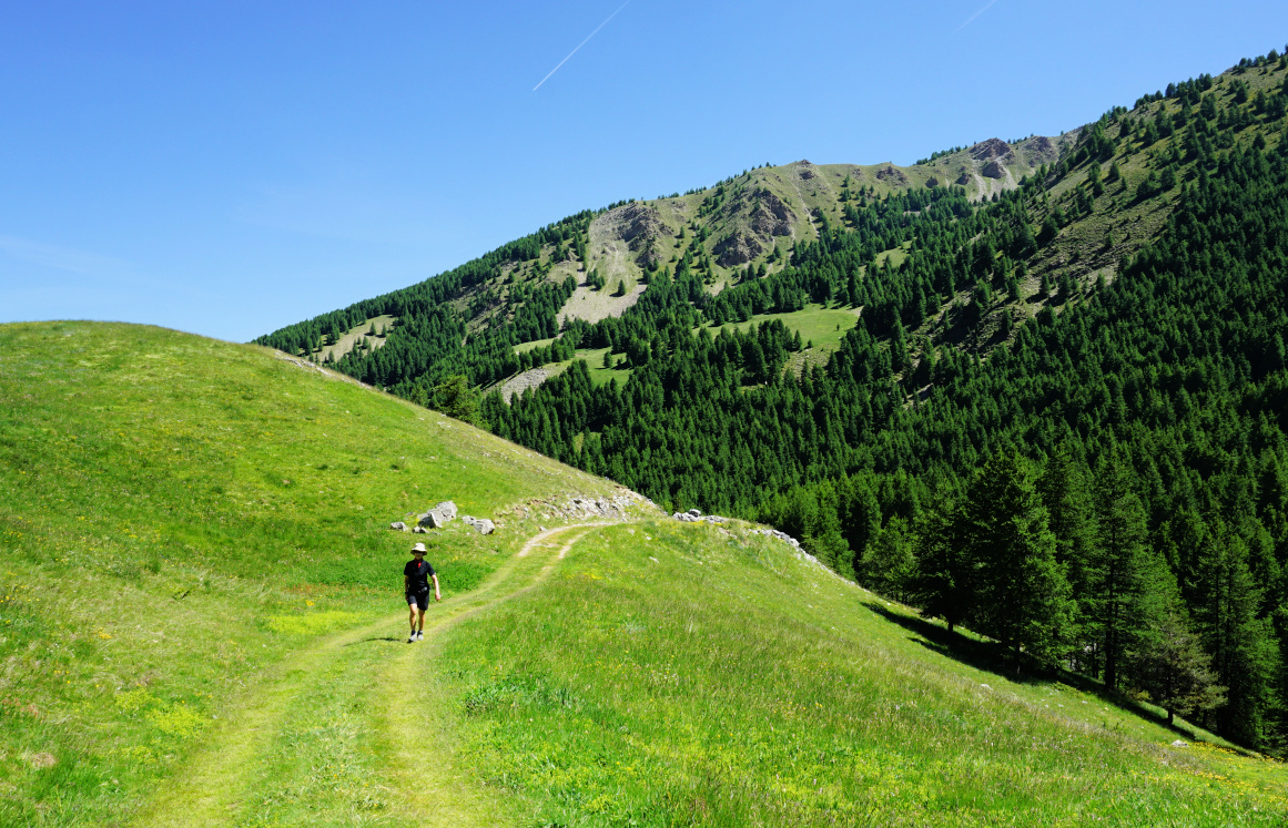
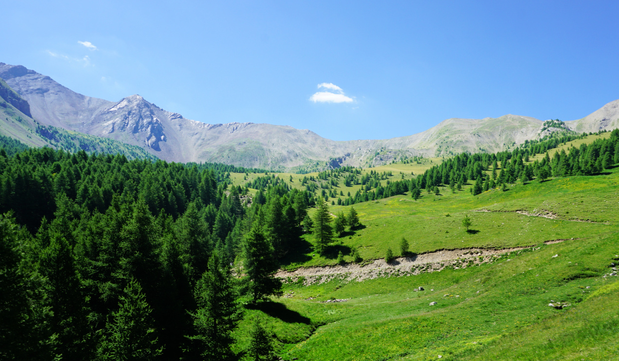
It is possible to make a loop around Tête de Cristel (2726 m) via three mountain passes: Col de la Braïssa (2599 m), Col de Cime Plate (2728 m) and Col de l’Escuzier (2487 m). Part of the itinerary runs in the Alpes de Haute Provence department.  It turned out to be a fantastic route in a pristine and tranquil Alpine environment. Note that one of the passes was higher than the peak we circled!


We have previously hiked to Col de la Braïssa (2599 m) and back from Refuge de Sestrière (2000 m; signpost #57) above Saint-Dalmas le Selvage.


From Nice, we drove north along the M2205 road in the Tinée Valley, turned left soon after Saint-Etienne de Tinée to St-Dalmas le Selvage (M63 road), drove through the village and continued along a narrow albeit paved road towards Col de la Moutière. We reached our starting point, Refuge de Sestrière, bordering the Mercantour National Park in about two hours.


Near Refuge Sestrière
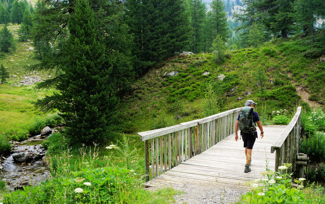
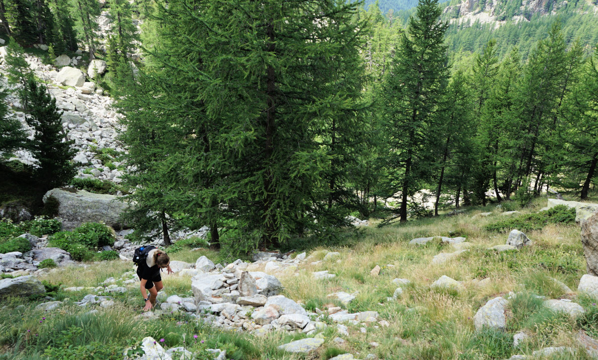
Larch forest above Refuge Sestrière
Vallon de la Braïssa
Col de la Braïssa
Col de la Braïssa
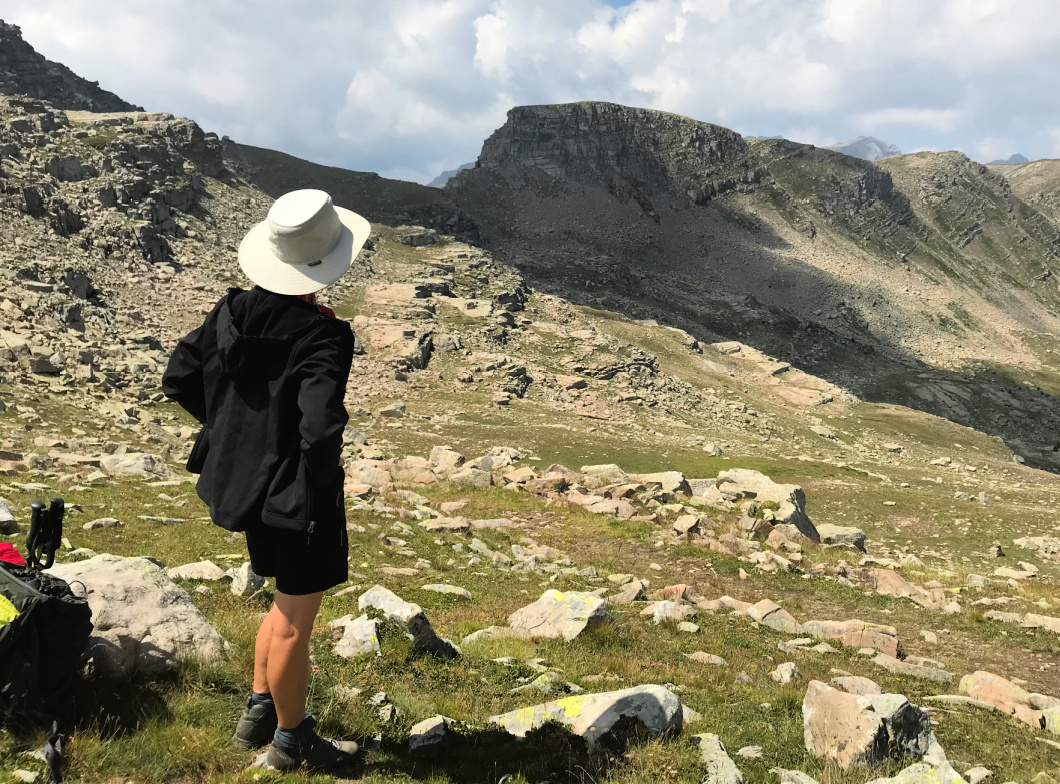
Towards Col de Cime Plate

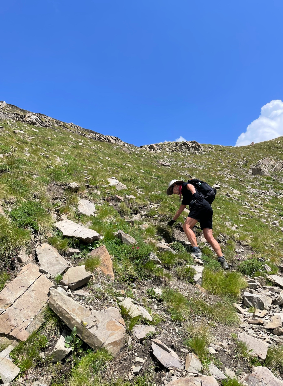
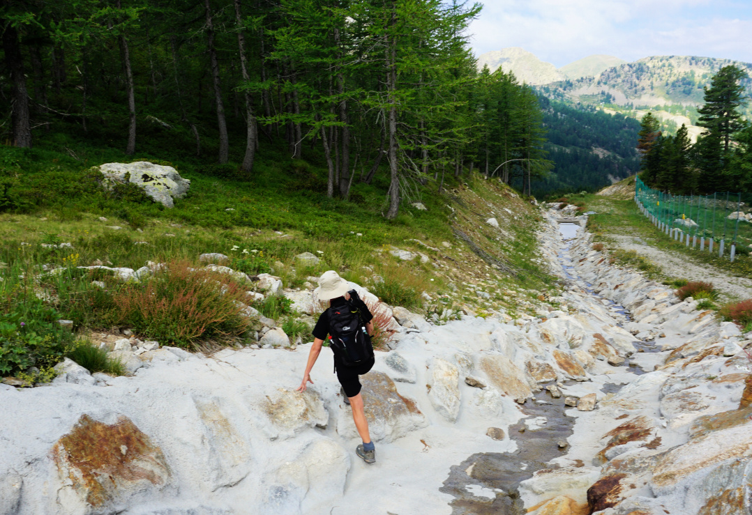
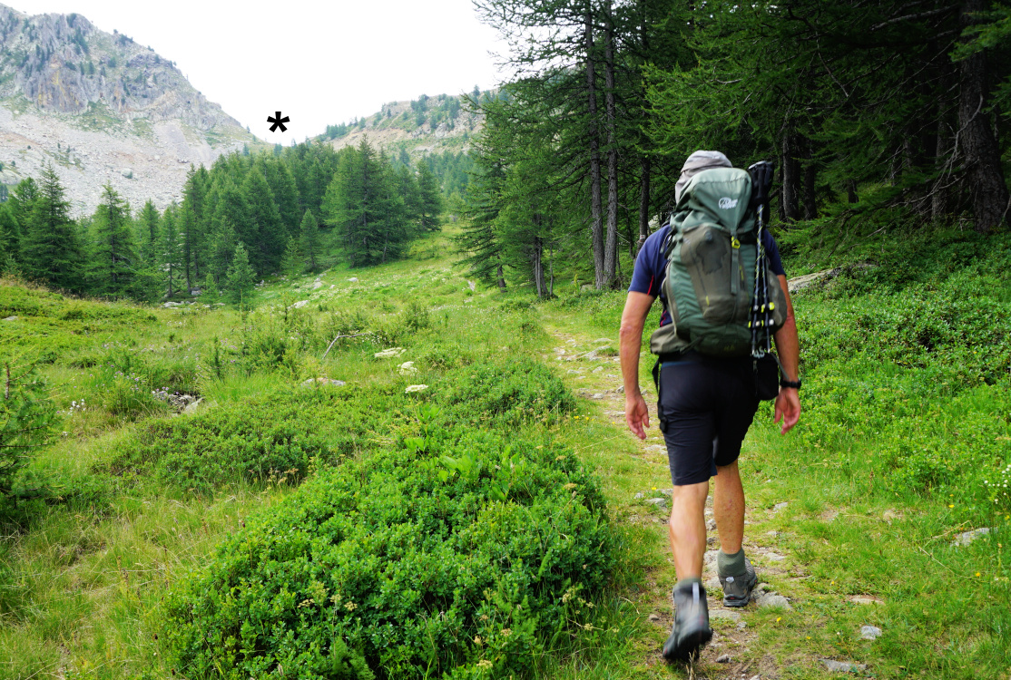
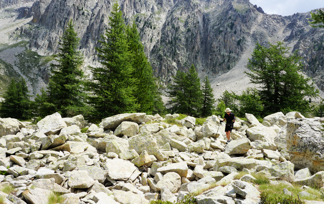
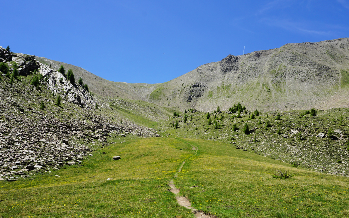
The ascent to Col de Braïssa (signpost #59) in Vallon de la Braïssa took about 1 h 50, first in a magnificent larch forest. From the col, we headed north where the steep southern face of Col de Cime Plate was visible. We were in a complete wilderness. Mobile phone coverage was non-existent. We only saw marmots and vultures. Before Col de la Braïssa we met a few hikers, here none. The trail was marked with cairns here and there. The final ascent to Col de Cime Plate required some surefootedness along the zigzagging trail.


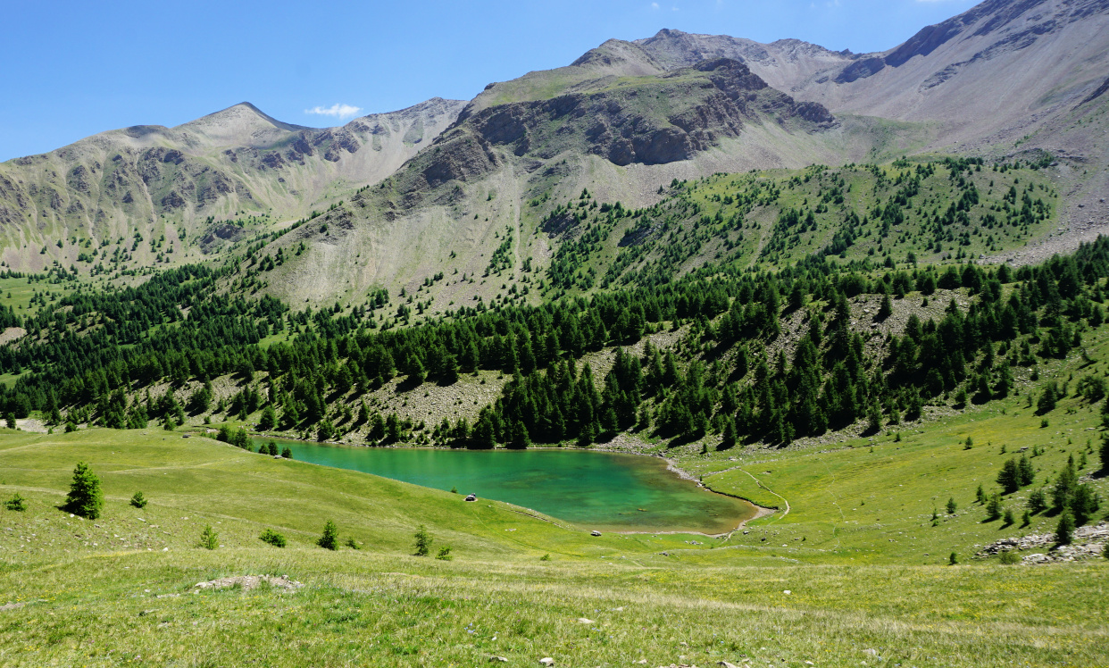
Col de Cime Plate marked the highest point of today’s itinerary. Seasoned hikers might wish to Climb to nearby Cime de la Plate (2770 m). Cime de la Bonette (2860 m) was visible in the north. Col de l’Escuzier, our third mountain pass today could be seen in front of Tête Ronde (2590 m). We descended quite steeply into Vallon de la Braissette, with Tête de Cristel on our right-hand side, and the Braissette Lakes to the left.


There was no marked trail on our map to our last col but a clear path leading there was visible. From the main trail, we forked right at 2434 m elev. and followed the path along a grassy incline to Col de l’Escuzier.  Vast grassy slopes with some streams and ponds comprised the eastern flank of the col. In places, there were rocky precipices. We now headed east, avoiding the wet and steep areas. We joined the paved road at about 2300 m elev. and descended along it to our starting point. Traffic was minimal, but we met a few tourists driving carefully and some sheep farmers driving not so prudently!

Nearing Col de Cime Plate
View north from Col de Cime Plate
Ascending to Col de l'Escuzier
Col de l'Escuzier
Col de l'Escuzier

Climb: 850 m

Duration (active hiking): 5h 15  

Distance: 14 km

Map: 3639 OT Haut Tinée 1 Auron

Three cols hike track


0 comments:

Note: only a member of this blog may post a comment.

Open vegetable sandwiches with goat cheese


Open vegetable sandwiches with goat cheese


These tasty small open sandwiches make a light lunch served with some green side salad. You could add some hummus with the salad.

2 servings

4 small slices of soft and fresh rye bread

2 tbsp. olive oil

1 shallot, sliced

1 clove garlic, minced

1 red bell pepper, sliced

1 green bell pepper, sliced

2 tasty tomatoes, sliced

4 slices of low- fat goat cheese


Warm the olive oil over medium heat in a frying pan. Sauté the vegetables until soft.


Divide the vegetables on the bread slices and top with goat cheese.


0 comments:

Note: only a member of this blog may post a comment.

Isola 2000: Lac de Tavels


Lac de Tavels

Hiking maps show no marked trails to Lac de Tavels (2240 m).  Situated 4 km southeast of Isola 2000 inside the Mercantour National Park, the lake is surrounded by several beautiful peaks close to the Italian border. Tête du Claus, north of the lake is the highest at 2897 m.


The lake (there are actually two but the smaller one was dry during our visit) is much less visited than the Terre Rouge Lakes above Isola. The shortest itinerary from Isola 2000 goes via Col Mercière (2342 m). More demanding unmarked routes via Italy involve steep mountain passes.


Footbridge above Isola2000
Shortcut above Isola2000
Towards Col Mercière
Signpost at Col Mercière
Vallon Mercière
Vallon Mercière

We took the shortest route to Col Mercière via ski slopes, then passed a big water reservoir before joining the wide gravel track up to the Col. The trail via Vallon du Terre Rouge (signposts #91, 92 and 95) is more interesting but a bit longer.


The southern flanks of Col Mercière and Tête Mercière comprise vast Alpine meadows, also used as pasture ground. We followed the winding wide marked trail, although there were both man and animal made paths on the incline, making shortcuts possible. 


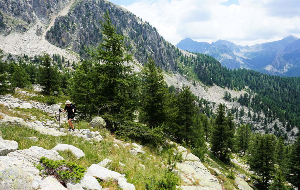
We descended about 300 m vertically in Vallon Mercière, finally in the woods. At a sharp bend (44°10'01.6"N 7°11'44.7"E) at about 2070 m elev., we located the path to the lake. We forked left, and found out that the narrow trail had been marked with cairns. We ascended steeply to the lake. We were met by complete tranquillity. The landscape was pristine but very rocky.

Trail south of Col Mercière
Chamois in Vallon Mercière
Steep climb to Lac de Tavels
Approaching Lac de Tavels
Just before Lac de Tavels

After a break we wanted to explore a shorter unmarked route directly back to Col Mercière. We knew from other descriptions that this option was possible, and we had seen some hikers using it. In fact, there were cairns placed in the rocky terrain west of the lake, but in most places the path was barely visible. The boulders got bigger, and we proceeded very carefully along the steep flank. Near some old bunkers, we decided to descend to the grassy meadow below us and found a pleasant path back to Col Mercière.


For average hikers, we can’t recommend the uncomfortable return trail on the rocky incline. We would use the same trail both ways in spite of slightly more vertical climb.

Rocky terrain west of Lac de Tavels
Incline west of Lac de Tavels

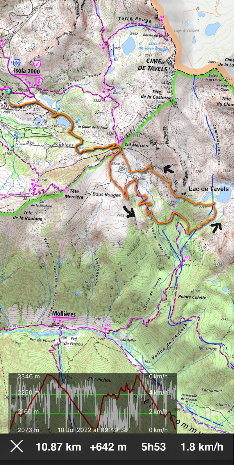
Lac de Tavels hike track

Distance: 11 km

Climb: 640 m

Duration: 5 h

Map: ET 3640 ET Haute Tinée 2 Isola 2000 


0 comments:

Note: only a member of this blog may post a comment.

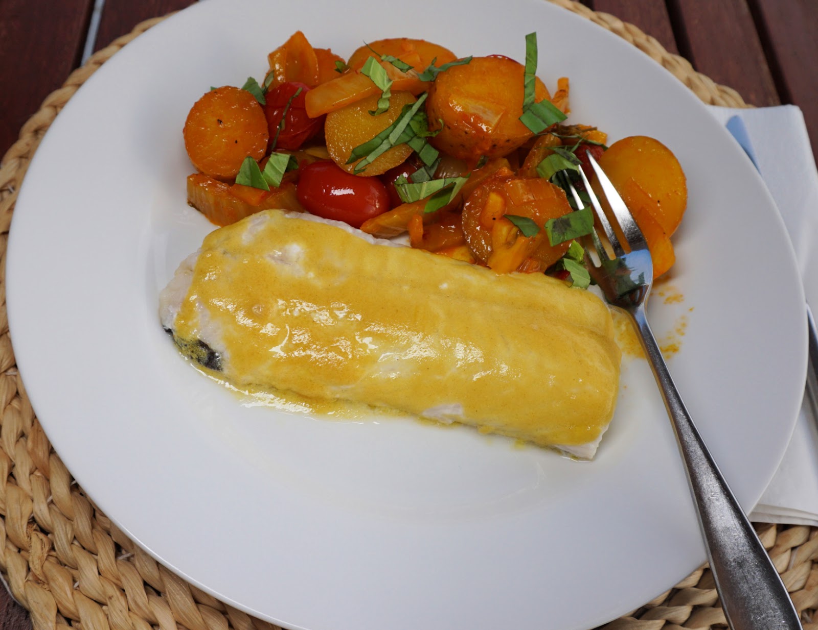
Halibut fillet coated with lemon juice and mustard, vegetable bouillabaisse


Halibut fillet coated with lemon juice and mustard vegetable bouillabaisse


For this recipe, you can use any tasty, firm- fleshed white fish fillets such as halibut, sea bass, cod, blue ling and so on. Start with the vegetable bouillabaisse as it takes about an hour to make, preparation included. The fish is cooked in the oven in about 10 minutes, depending on the thickness of fillets.

2 servings

For the vegetable bouillabaisse:

4 new potatoes, washed and cut into thick slices

½ fennel, sliced

1 shallot, chopped

1 clove garlic, minced

6 cherry tomatoes

2 tbsp. olive oil

2 tbsp. tomato sauce

Freshly ground black pepper

100 ml white wine

A pinch of saffron pistils

Fresh herbs to decorate 


For the fish:

2 halibut fillets, about 120- 150 g each

Juice of ½ lemon

1 tbsp. Dijon mustard

1 tbsp. olive oil


Warm 2 tbsp. olive oil over medium heat in a heavy casserole, cocotte, such as Le Creuset. Add all the vegetables except the fresh herbs, and stir. Sauté for about 10 minutes stirring occasionally. In a bowl, mix tomato sauce, black pepper, white wine, and saffron. Pour this mixture over the vegetables and stir. Lower the heat to medium- low, cover, and let simmer for about 45 minutes until the vegetables are soft. Stir occasionally.


Preheat the oven to 200° C, roast.


In a bowl, whisk together the lemon juice, Dijon mustard, and olive oil. Spread some olive oil in the bottom of an oven-proof dish and place the fish fillets in it. Spread the lemon juice, mustard, and olive oil mixture on the fish. Roast in the oven for about 10 minutes, depending on the thickness of the fillets. The fish is done when it is opaque.


Divide the fish fillets and vegetable bouillabaisse on the plates and decorate with chopped herbs.

0 comments:

Note: only a member of this blog may post a comment.

Les Orres: Hike to Col de l'Ane

At Col de l'Ane

 It is possible to reach the high terrain above the resort of Les Orres via Lac de Ste Marguerite (2227 m). Having hiked to the lake a few years ago, we now wanted to climb a bit higher, to Col de l’Ane (2524 m). During the high summer season, when the chairlifts are running, you can take advantage of them. In Mid-June, however, the upper village (1800 m) was still deserted. The lift system does not reach Vallon de l’Eissalete where Lac de Ste-Marguerite is located, anyway.

Signpost at Bois Mean
Lower Eissalete Valley
Pra Paisset Orres
Pra Paisset Orres
Eissalete Valley Orres
Sainte-Marguerite Lake

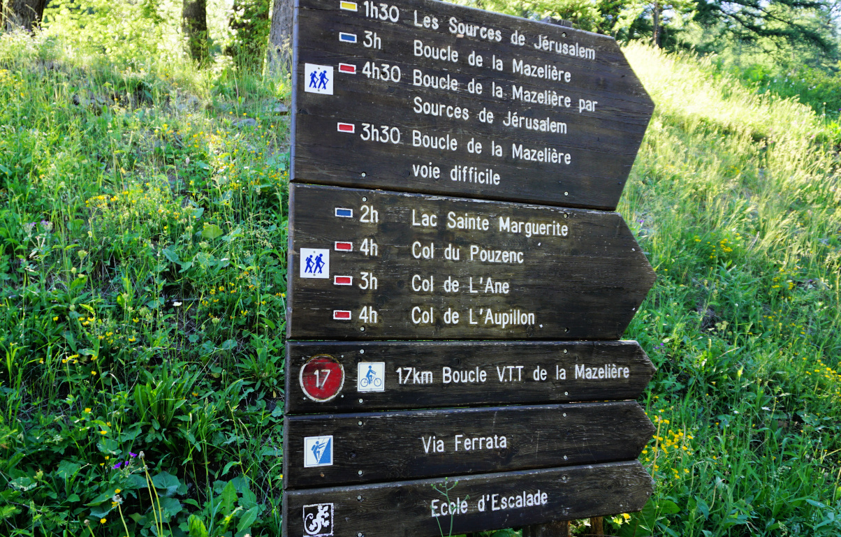
We used the familiar itinerary to the lake, starting from the parking at Bois Méan (~1650 m), just under the upper village. There’s a big signpost showing different itineraries. We headed south along a wide unpaved track, initially almost flat. We passed Bergerie Gautier. The track, still wide, became rockier. Now climbing steeper, we passed the crossroads to Source de Jerusalem and Col du Pouzenc. After Cabane du Lac, we left the forest behind us and entered the vast Alpine meadows in Vallon de l’Eissalete.

We soon reached the Ste-Marguerite Lake, and continued along its western shore. The trail to the mountain pass was marked with yellow and some cairns here and there. We soon met some curious marmots by the trail. The climb to the col was continuous (roughly one hour from the lake) but in no way difficult as marked in Les Orres guide.

Marmot by the trail
Marmot by the trail
Above Sta-Marguerite Lake
Above Ste-Marguerite Lake
Col de l'Ane in sight
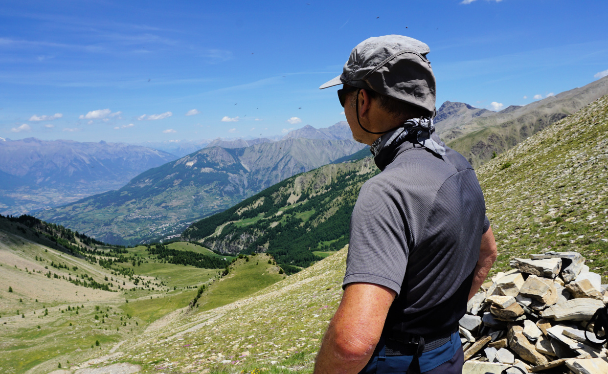
View southeast from Col de l'Ane
Start of return trail to Les Orres
Return trail to Les Orres

The pass (also named Col de l’Eissalete) marked our turning point today. A “technical” ridge itinerary continued to the east to Aupillon (2916 m; the highest peak above Les Orres). We had great views down to the Ubaye River Valley and beyond as well as to the north Les Ecrins etc.


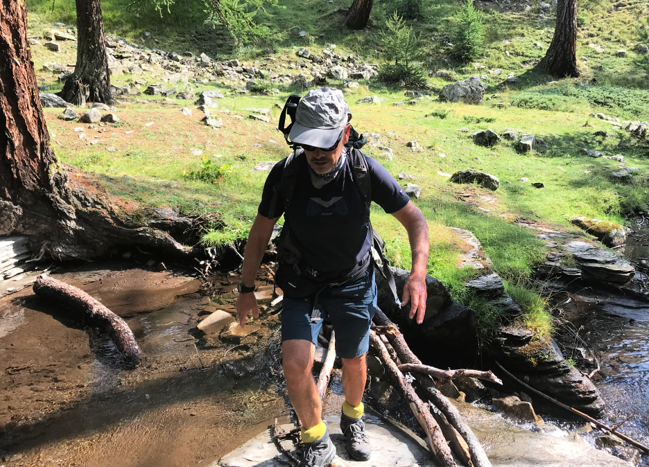
We descended to the lake, then forked right soon after, and followed the trail which went to Les Orres 1800. We crossed a small stream (a wooden bridge) and headed north. It was a most pleasant and soft path in the woods. In fact, nicer than the ascending trail! We stayed higher up fairly long before starting to descend to the resort. There were good signposts. 


From Les Orres 1800, we descended along the road back to our starting point.


Climb: 880 m


Duration: 5h 30 active


Distance: 14 km


Map: 3438 ET Embrun Les Orres

Col de l'Ane hike track


0 comments:

Note: only a member of this blog may post a comment.