Montagne de Thiey revisited
 |
| Montagne de Thiey in autumn |
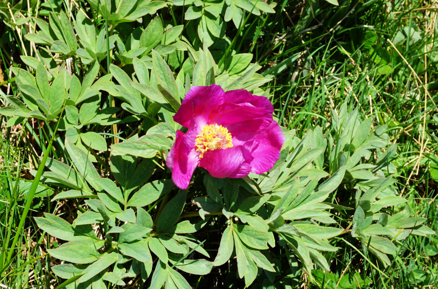
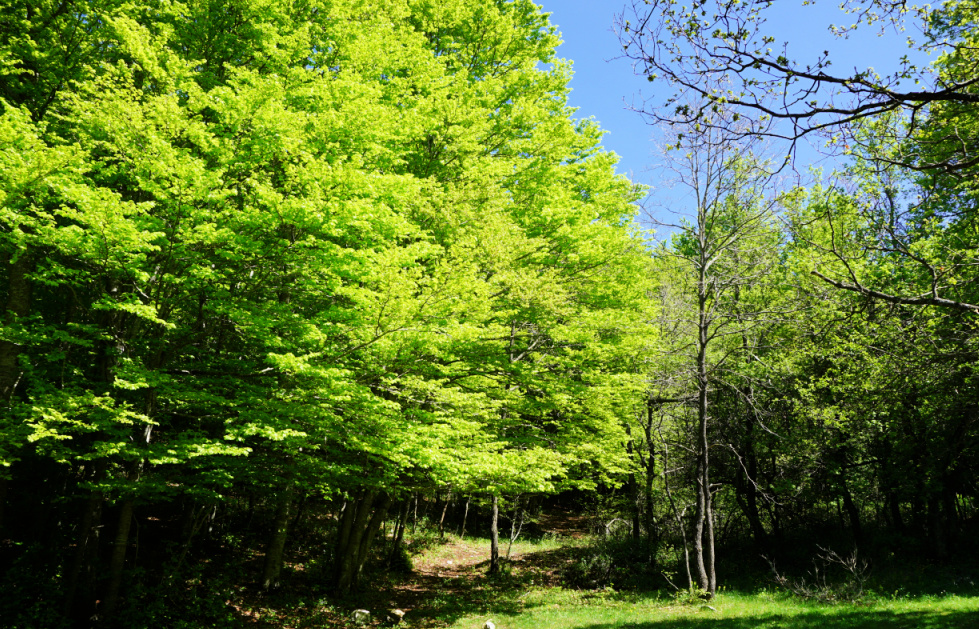
We have previously made this great hike to Montagne de Thiey (1553 m) in the Côte d’Azur Prealps some years ago in early autumn. Now, in spring, the scenery could not be more different, with the nascent greenery of the various vegetation zones. Near the summit, we saw wild peonies and, when returning, we walked through a beautiful beech forest.
 |
| Start from Nans parking |
 |
| Forest above Nans Valley |
 |
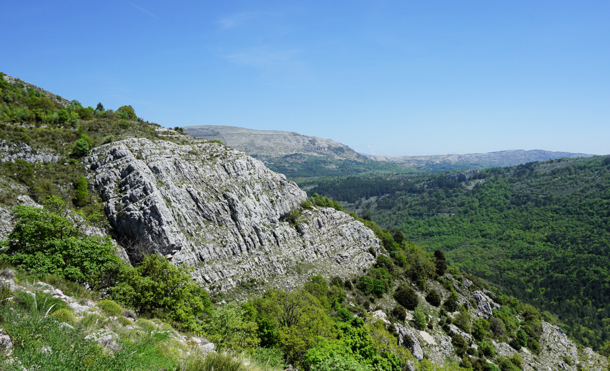
| Southern flank of Montagne de Thiey |
The access from the coast is easy as the parking by the Nans Valley is next to the RD85 road (19 km from Grasse).
The itinerary from the parking (860 m) was easy to follow as the signposts and markings (yellow) were numerous. We ascended both along dirt tracks and good trails (signposts #65, 66, 67, 68, 69, 70 and 71). There were some steeper stretches just before the summit. Even on a hazy albeit clear day we had great 360° views, from the snow-capped Mercantour peaks to the Esterel coastal mountains.
We returned to signpost #69, then headed northeast under Crête de Thiey. We descended, quite steeply in places, to a beech forest at about 1000 m elevation where we forked right at signpost #178. After a brief ascent we descended continuously to the verdant Nans Valley, passing signposts #72 and 127. The stream in the valley was completely dry. There had been only sporadic rainy days since the beginning of the year. We passed signpost #66 before reaching our starting point.
Most hikers seemed to return along the same trail. We warmly recommend the loop on the way back.
 |
| Nans Valley and Colle du Maçon |
 |
| Montagne de Thiey summit |
 |
| Wild peony by the trail |
 |
| Crete de Thiey southeastern flank |
Climb: 700 m
Distance: 13 km
Duration: 4h 30 active
Map: “Haute Signe” 3543 ET


0 comments:
Note: only a member of this blog may post a comment.