Quinoa-tomato bowl

Quinoa-tomato bowl
Quinoa-tomato bowl

Mozzarella balls are great added to warm roasted tomato wedges and cooked quinoa for a balanced protein- rich lunch. This dish is at its best in late summer and early autumn when tomatoes and basil are in season. 

2 servings

100 ml quinoa mixture of white and red quinoa, mélange de quinoa blanc et rouge

2- 3 ripe tomatoes

2 tbsp. Olive oil

Freshly ground black pepper

1 clove garlic, minced

½ tsp. Dried Provençal herbs

150g mozzarella mini balls

A generous amount, about a handful, of basil leaves


Cook the quinoa in about 300 ml water for 15- 20 minutes. Remove from heat and keep covered for 5- 10 minutes.


Preheat the oven to 210°C, roast.


Wash the tomatoes and cut into wedges. Place the olive oil, garlic, Provençal herbs, and black pepper in a plastic bag. Add the tomato wedges and shake. Pour the wedges in an oven- proof dish and roast for about 15 minutes until the tomatoes are somewhat collapsed. 


Meanwhile wash and dry the basil leaves and drain the mozzarella balls.


Fold in the tomatoes and mozzarella into the quinoa and divide into the bowls. Decorate with a generous amount of fresh basil.


0 comments:

Note: only a member of this blog may post a comment.

Embrun: Lake Hivernet Hike


Lac de l'Hivernet

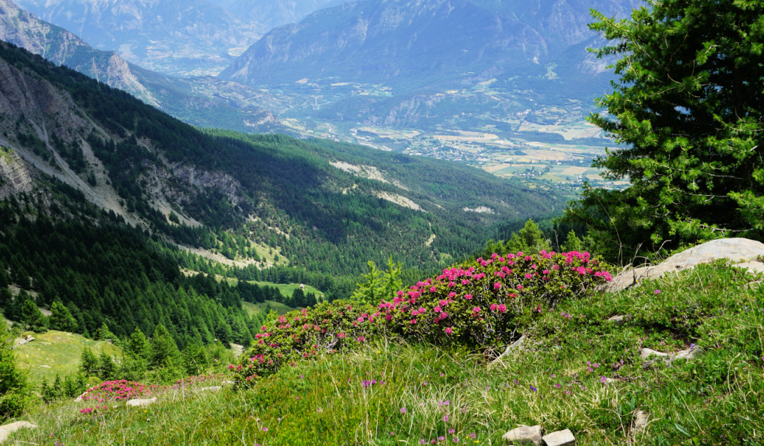
The southern flank of the mountain massif above Embrun and the Durance River Valley consists of a wide forest belt reaching about 2000 m elevation. Higher up, the landscape becomes high-alpine.

Having previously hiked to Mont Guillaume (2542 m), we now decided to explore the trail up to the Hivernet Lake (2352 m), another popular itinerary in the region.

Starting to Lake Hivernet
Good signposts
Good signposts
Pré Clos
Pré Clos
Easy part of trail
Easy part of trail
Near Pierre Pointue
Near Pierre Pointue


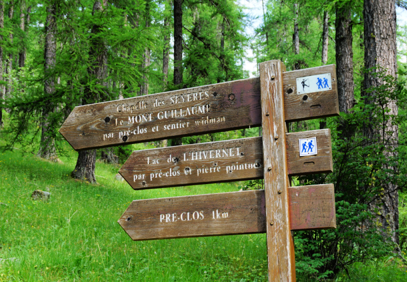
A paved albeit narrow and in places potholed road ascends to Parking de la Fôret (1587 m). There’s a network of paths and gravel tracks and the itinerary to Lake Hivernet (as well as to Mont Guillaume) is clearly signposted.


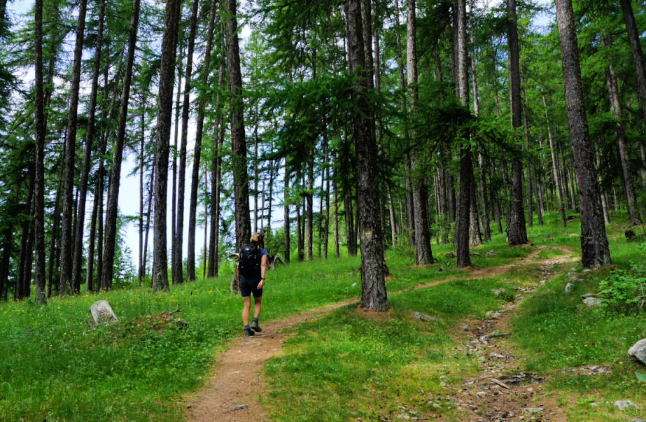
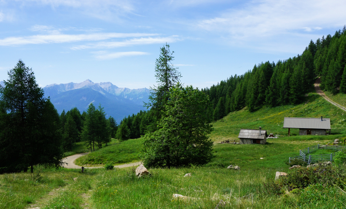
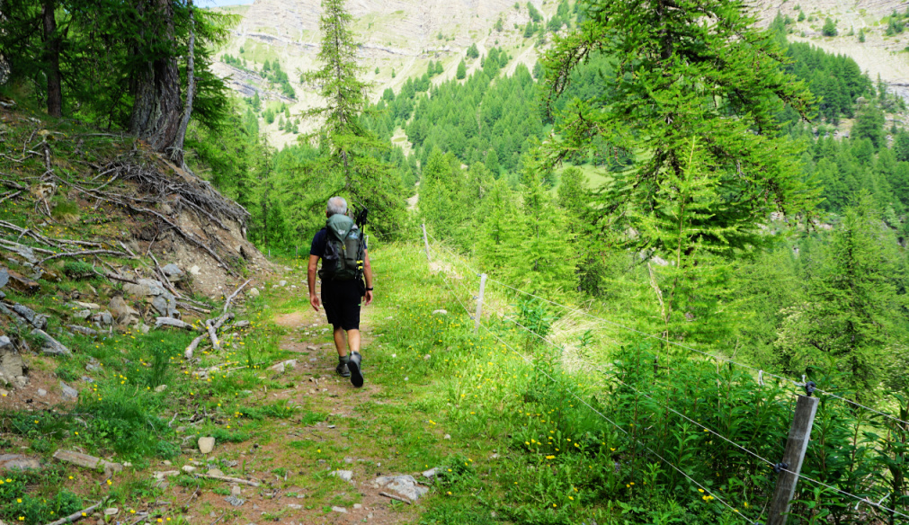
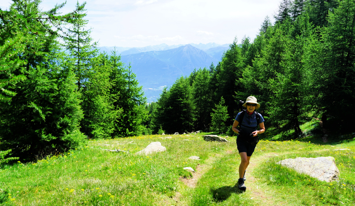
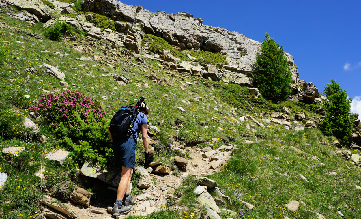
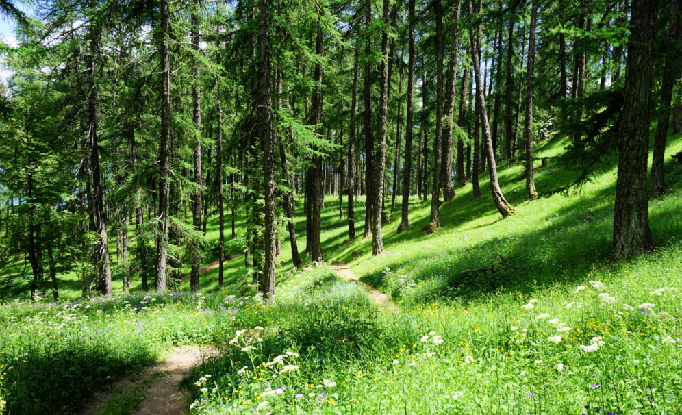
From the parking, we first ascended in the forest to Pré Clos. The larch forest gave good protection on a hot and sunny day during the first part of the ascent. The dirt track ended here. We continued straight north, still in the woods, passing Pierre Pointue. The path turned to the west, and we came to a clearing with a steeper incline in front of us. Now above the main tree line, we followed the trail, surrounded by blossoming rhododendrons up to the lake.


It was early season (mid-June), but the terrain was already snowless and dry. Fortunately, small streams from higher ground in the west were irrigating the beautiful Lac de l’Hivernet.


At tree line to Lake Hivernet
At Tree line to Lake Hivernet
Nearing Lake Hivernet
Descent start from Lake Hivernet
Durance River Valley
Trail near Parking de la Fôret

We returned along the same trail. It was not a long hike in distance but some stretches were rather steep, especially when approaching the lake. 


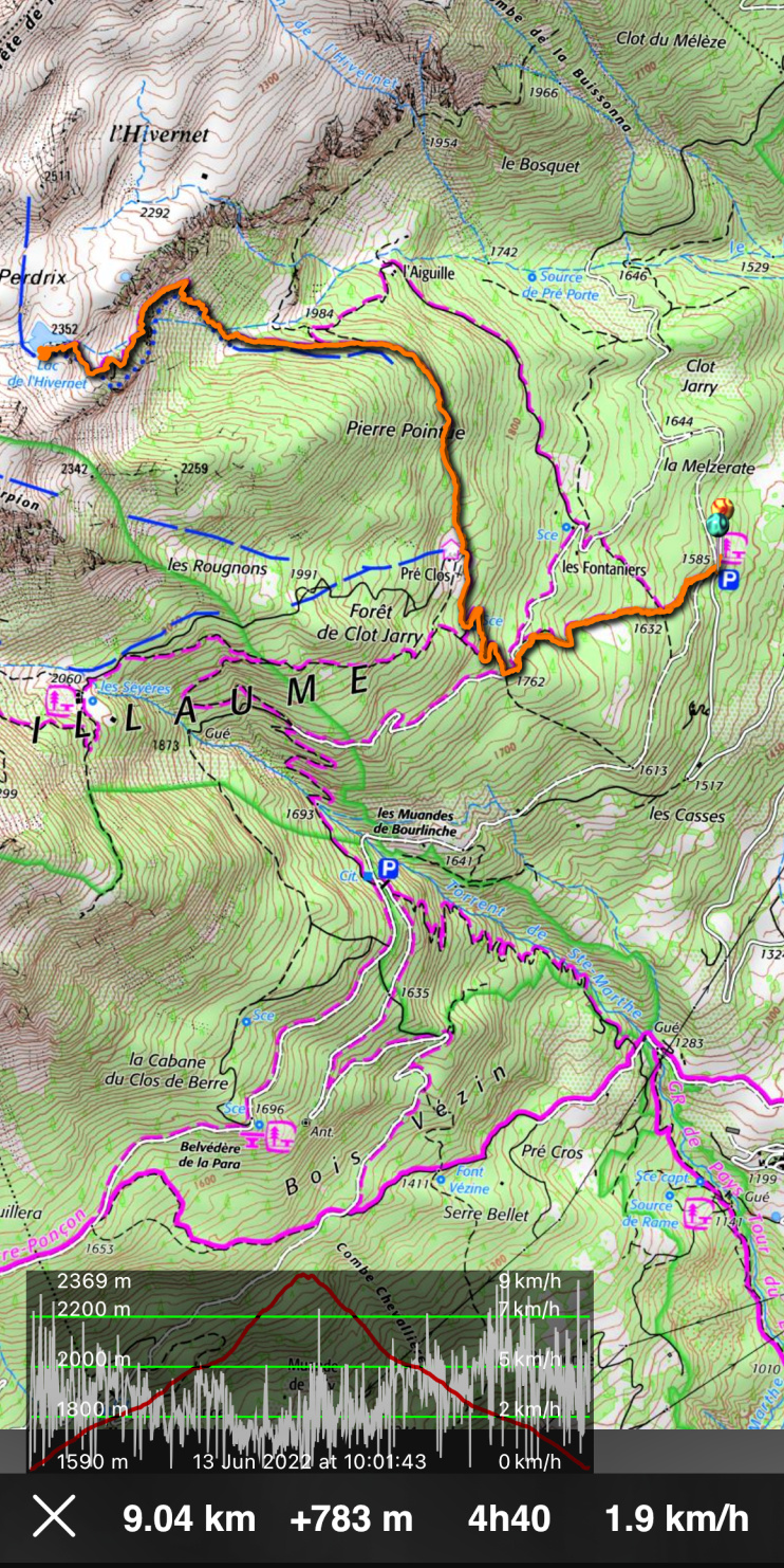
Distance: 9 km


Climb: 780 m


Duration: 3h 45 active


Map: Orcières-Merlette 3437 ET


Lake Hivernet hike track


0 comments:

Note: only a member of this blog may post a comment.

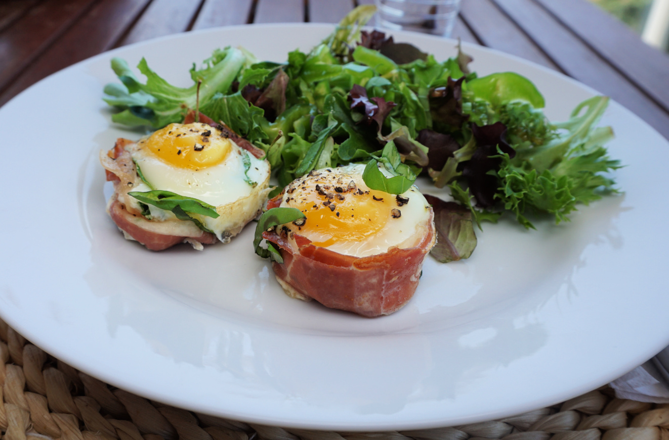
Egg-Parma ham muffins


Egg-Parma ham muffins

These tasty small bakes make a nice light lunch served with a green side salad and whole wheat or rye bread.

2 servings

4 slices of Parma ham

4 eggs

Olive oil

A small handful of baby spinach leaves

Freshly ground black pepper

Fresh herbs to decorate


Preheat the oven to 180° C.


Oil 4 muffin tin cavities with olive oil. Line each cavity with a slice of Parma ham.  Place some spinach leaves in the bottom. Crack 1 egg into each cavity and grind over some black pepper.


Bake for 10- 15 minutes until the egg whites are solidified. Sprinkle over some chopped fresh herbs.  

Egg-Parma ham muffins from oven


0 comments:

Note: only a member of this blog may post a comment.

Montagne de Thiey revisited


Montagne de Thiey in autumn


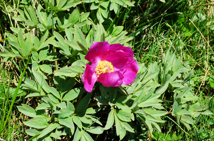
We have previously made this great hike to Montagne de Thiey (1553 m) in the Côte d’Azur Prealps some years ago in early autumn. Now, in spring, the scenery could not be more different, with the nascent greenery of the various vegetation zones. Near the summit, we saw wild peonies and, when returning, we walked through a beautiful beech forest.


Start from Nans parking
Forest above Nans Valley
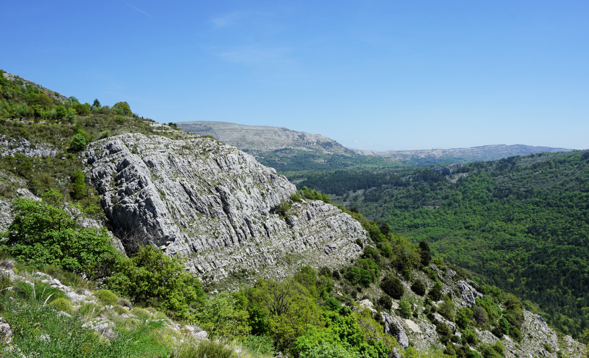
Southern flank of Montagne de Thiey


The access from the coast is easy as the parking by the Nans Valley is next to the RD85 road (19 km from Grasse).


The itinerary from the parking (860 m) was easy to follow as the signposts and markings (yellow) were numerous. We ascended both along dirt tracks and good trails (signposts #65, 66, 67, 68, 69, 70 and 71). There were some steeper stretches just before the summit. Even on a hazy albeit clear day we had great 360° views, from the snow-capped Mercantour peaks to the Esterel coastal mountains.


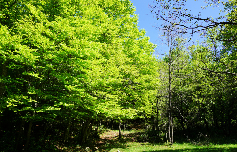
We returned to signpost #69, then headed northeast under Crête de Thiey. We descended, quite steeply in places, to a beech forest at about 1000 m elevation where we forked right at signpost #178. After a brief ascent we descended continuously to the verdant Nans Valley, passing signposts #72 and 127. The stream in the valley was completely dry. There had been only sporadic rainy days since the beginning of the year. We passed signpost #66 before reaching our starting point.


Most hikers seemed to return along the same trail. We warmly recommend the loop on the way back. 


Nans Valley and Colle du Maçon
Signpost#69 return trail crossroads
Barres de Thiey
Barres de Thiey
Near Montagne de Thiey summit
Montagne de Thiey summit
Wild peony by the trail
Crête de Thiey southeastern flank
Crete de Thiey southeastern flank
Beech forest by the trail back


Climb: 700 m

Distance: 13 km

Duration: 4h 30 active

Map: “Haute Signe” 3543 ET


Montagne de Thiey hike track


0 comments:

Note: only a member of this blog may post a comment.