Vence: Loop from Plan des Noves parking
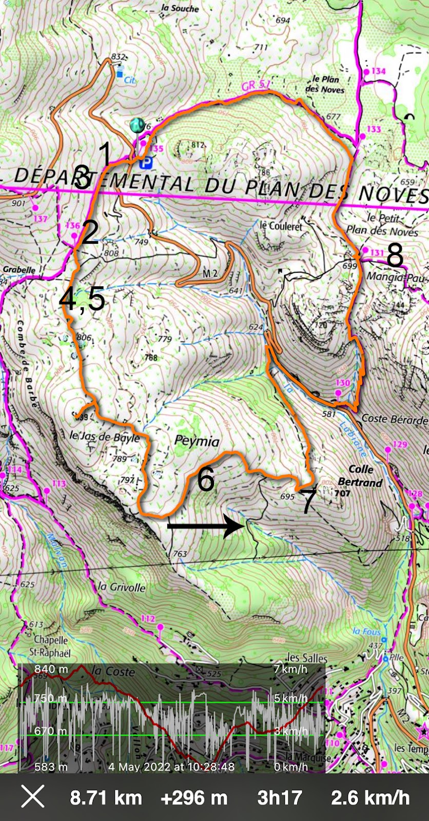
Today’s hike features a loop above Vence, starting from the popular Plan des Noves parking (780 m) by the D2 road. Having hiked here many times, we now wanted to try a new itinerary, first using tracks and trails west of the D2 road.
 |
| Track leaving GR51 |
 |
| Mouton d'Anou |
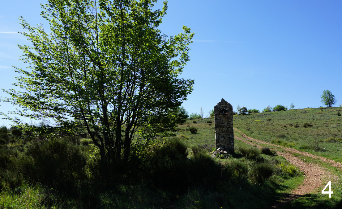 |
| Oratory |
 |
| Puy de Naouri and Tourrettes |
We crossed the road and headed west along the GR51 (images 1 and 3 ) as far as to signpost #136 where we forked left (2 ), leaving the GR trail (and marked hiking trails). We followed a wide track mainly to the south, passing an oratory (4 ). We made a short detour to a hilltop (839 m) at Jas de Bayle with great views to the west, notably to Puy de Naouri and Puy de Tourrettes (5 ). We continued along the dirt track (no markings but easy to follow) further south, then to the east (6 ). Near Colle Bertrand we forked left (7 ) and followed a narrower trail which passed a solitary oak tree, then descended in a northerly direction towards the D2 road.
We soon reached the road, forked right and descended along it (carefully in a single line) about 500 m to signpost #130 (581 m), where we followed the trail up to Mangia Pan (699 m; signpost #131; image 8 ).
We headed straight north to signpost #133 (at 678 m; marked as Plan des Noves) where we re-joined the GR51 trail and followed it back to our starting point.
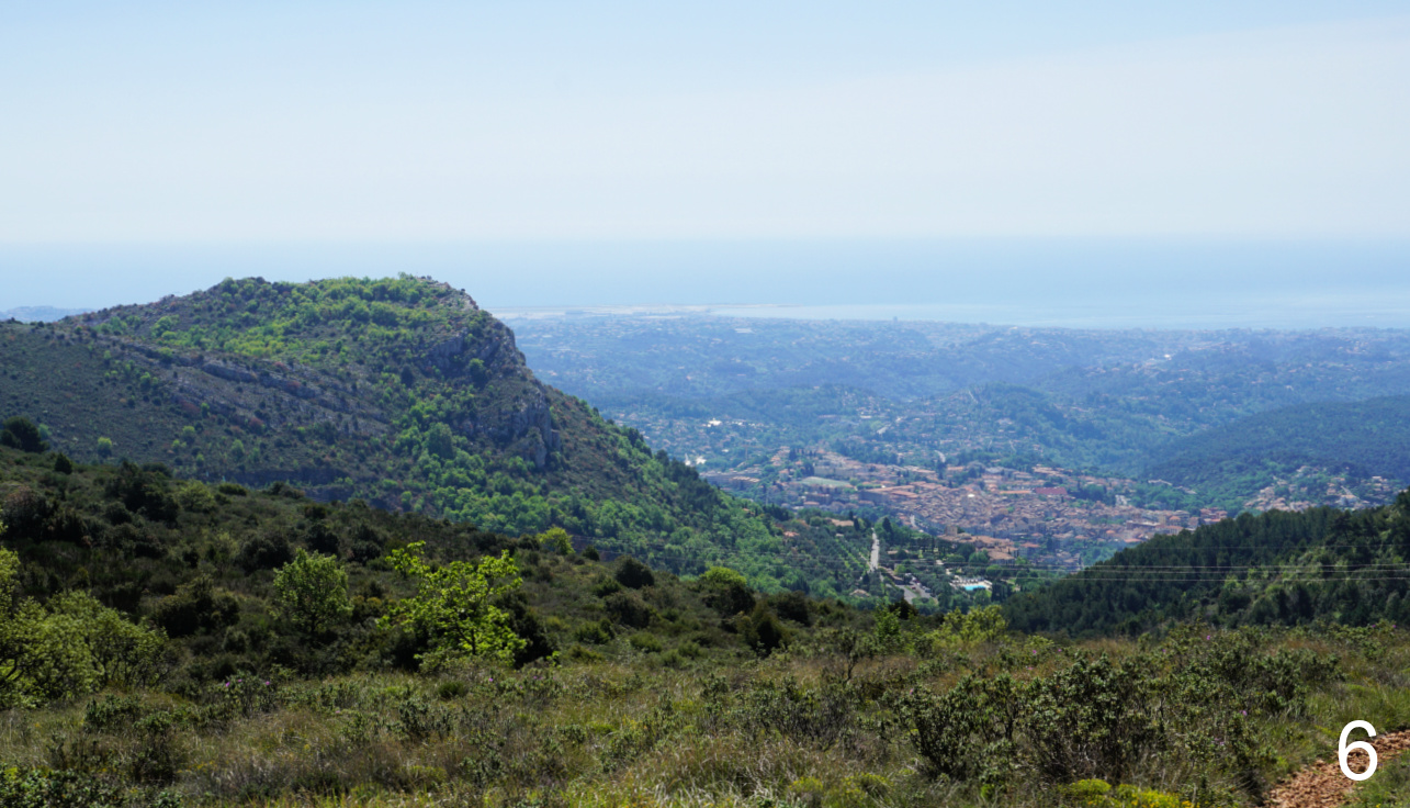 |
| Baou des Blancs and Vence |
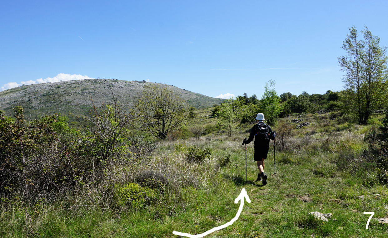 |
| Crossroads near Colle Bertrand |
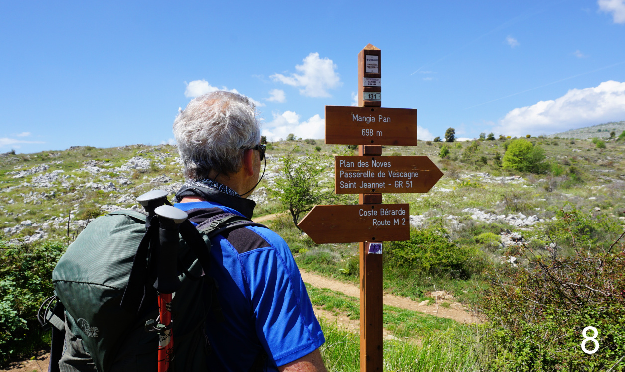 |
| Mangia Pan |
It turned out to be a nice loop variant along easy trails. Only the trail descending back to the RD2 road was narrow in places and might become a bit overgrown in summer.
Duration: 2h 45 active
Climb: 300 m
Distance: 8,7 km
Map: «Cannes-Grasse» Côte d’Azur No 3643 ET or Vallée de l’Estéron Vallée du Loup 3642 ET
 |
| Loop from Plan des Noves parking |


0 comments:
Note: only a member of this blog may post a comment.