Esterel: Pic de l'Ours hike
 |
| Beachfront near Trayas station |
The Esterel Coastal Massif located both in Var and Alpes Maritimes Departments is of volcanic origin. The rock consists mostly of rhyolite, giving the hills a distinct red colour.
Numerous roads, some of them paved, crisscross the region. But there is a network of hiking and mountain biking trails as well, and some of them cross surprisingly rugged and sauvage terrain. The landscape is quite different from what you see elsewhere in Alpes-Maritimes.
We decided to hike up to Pic de l’Ours (496 m), starting from the parking by the D559 coastal road, near the Trayas train station. Another option is to use the small parking next to the station.
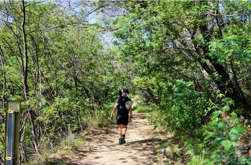 |
| Trail behind Trayas station |
 |
| Rocky trail above Le Trayas |
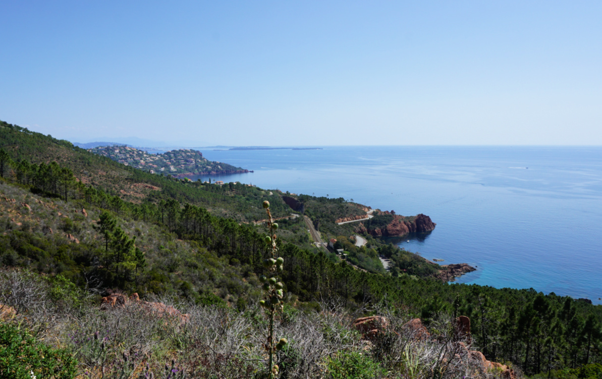 |
| Le Trayas coast |
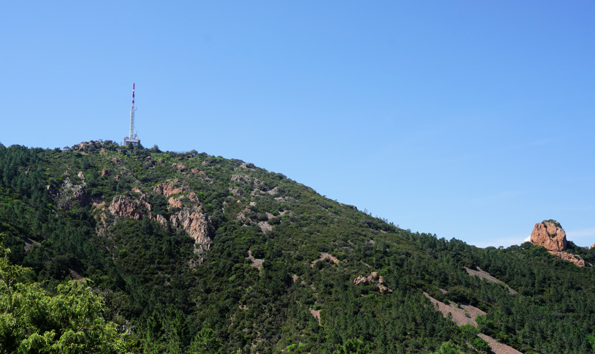 |
| Pic de l'Ours |
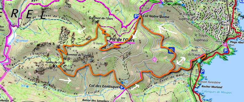
We walked up to the starting point behind the station (300 m), carefully crossing the road and the railway. We forked left and followed a wide dirt track about 370 m, then forked right and ascended along a rocky trail about 400 m before reaching a crossroads. We forked sharply right (if you miss this, you end up doing the hike clockwise!) now along a yellow-marked trail. We climbed, partly in the woods, to Col de Notre-Dame (324 m).
We now had Pic de l’Ours above us, and chose the direct route up to the summit. The trail (blue markings) was quite steep in places. The summit itself was a restricted area, with a large white/red mast and different other telecom antennas. The spring day was warm but a bit hazy. We had nevertheless great views towards Cannes and beyond in the east and Frejus in the west.
 |
| Cannes seen from Pic de l'Ours |
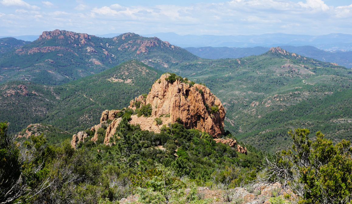 |
| Dent de l'Ours |
 |
| Pic du Cap Roux |
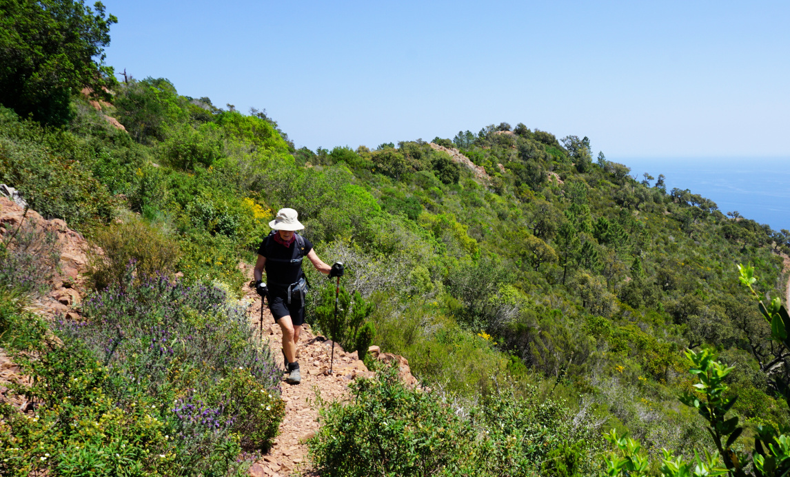 |
| Path under Pic de l'Ours summit |
After a picnic break, we continued along a yellow-marked trail which first circled under the summit then descended rapidly to Dent de l’Ours. Our trail continued to the south, then west making a large loop in the rugged terrain before turning southeast to Col de Lentisques. We then followed the yellow trail which descended above Ravine de Cazal de Beuf, where we passed the crossroads on the way up, then back to or starting point.
The trails of this hike were good but very rocky. Good hiking shoes and poles are essential. It can be very hot during the summer months. Compared with Alpes-Maritimes, there are just sporadic signposts but the itinerary is well colour-marked and easy to follow. Study the itinerary on the map (digital or paper) before leaving.
Climb: 490 m
Distance: 9,6 km
Duration: about 3h 45 active
Map: 3544ET Fréjus St-Raphaël Corniche de l’Esterel




0 comments:
Note: only a member of this blog may post a comment.