Loop hike from Ste-Agnès
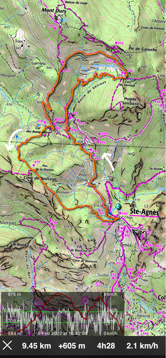
One February not long ago, we hiked to Mont Ours from Ste-Agnès. We now decided to do a loop hike passing through three cols above the village: Col de Verroux (935 m), Col des Banquettes (736 m) and Pas de la Piastre (935 m). It turned out to be another great winter experience in the mountains so near the Mediterranean coast.
As before, we parked at the village entrance (about 600 m elev.) and headed towards Col de Verroux along the well-signposted (#441, 442, 444, 445) trail. After a brief descent to Peyre Grosse (a few houses), we ascended above Ravin de Verroux eventually joining an ancient military track before the Col.
 |
| View east from Ste-Agnès |
 |
| Trail leaving Ste-Agnès |
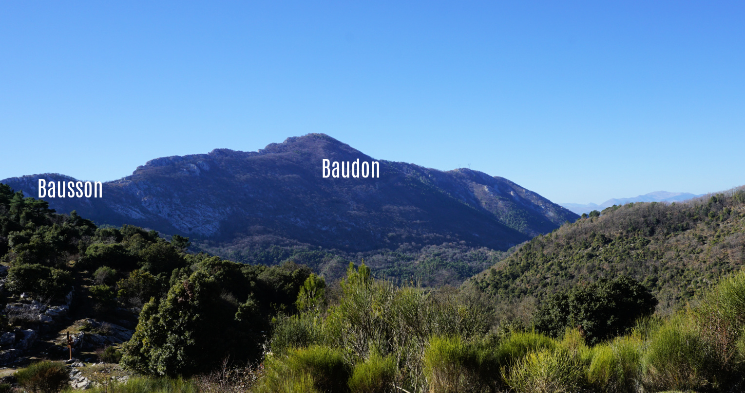
From Col de Verroux (signpost #446), we forked left and followed a quasi-horizontal dirt track on the southern flank of Mount Ours and Pic de Garuche, heading west. We had super views as far as to the Mediterranean, Cime de Baudon, Bausson, and Ste-Agnès.
We reached a crossroads at signpost #472 and merged with the trail from Mont Ours. We descended along the rather steep trail towards Col des Banquettes, passing the bunkers located just above the Col. Last year, we hiked back to Ste-Agnès along the narrow but paved Route du Col des Banquettes, the shortest option. This time we ascended to Pas de la Piastre, a more interesting option. The old hiking signpost at the col had disappeared but the start of the steep trail was well visible between two dirt tracks. The trail was marked with yellow signs and was easy to follow in the woods to Pas de la Piastre.
 |
| Old military track near Col de Verroux |
 |
| Col de Verroux |
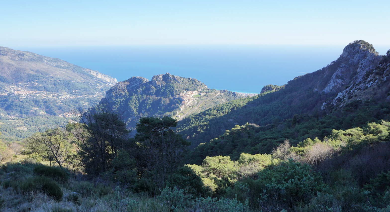
From Pas de la Piastre under Cime de Bausson (1087 m), we had a great view down to Ste-Agnès, with a glimpse of the coastline at Menton. From here, we descended rapidly back to our starting point.
Distance: 9,5 km
Climb: 605 m
Duration: 3h 45 active hiking time
Map: “Nice-Menton” Côte d’Azur 3742 OT
 |
| Cime de Baudon |
 |
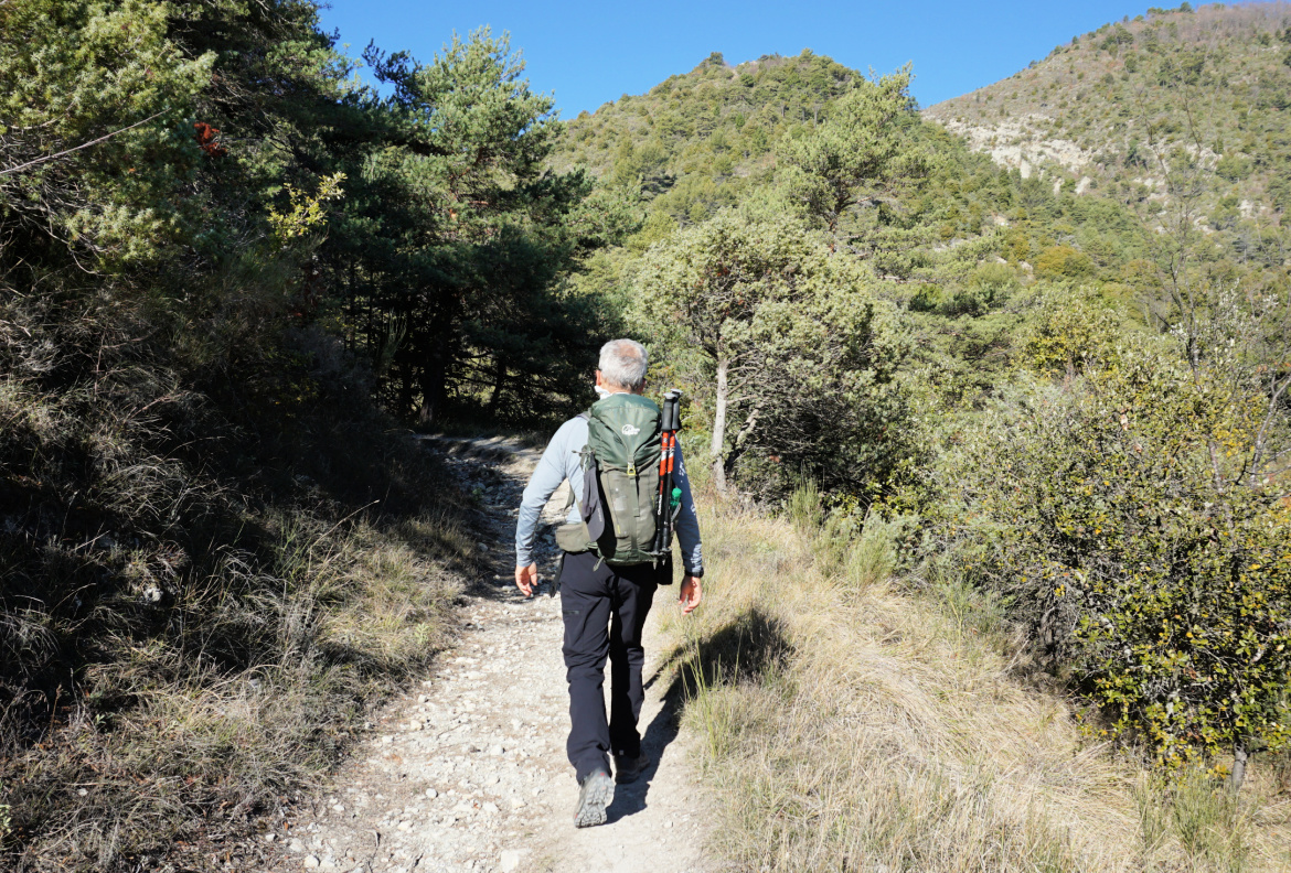
| Path south of Col des Banquettes |
 |
| Hike track from Ste-Agnès |


0 comments:
Note: only a member of this blog may post a comment.