Mont Razet revisited
On one of our recent hikes from Col de Castillon (signpost#135 at 706 m), we saw a temporary sign on the Baisse de Scuvion (1154 m) mountain pass indicating a direct path up to the nearby summit of Mont Razet (1286 m). On today’s hike we wanted to explore this option. The route was not shown on the normal hiking map, but interestingly the OpenStreetMap shows a trail between the Baisse de Scuvion and Mont Razet.
The mountains above Menton have an extensive network of trails, and we have become quite familiar with them. We have circled Mont Razet many times and climbed to the mountain top along the marked itinerary from la Pierre Pointue (1168 m; signpost #93a).
Mont Razet consists of a ridge where its northernmost point just above the Baisse de Scuvion is 1 m higher (1287 m) than the main peak.
 |
| Trail crossroads near Biatonéa |
 |
| Heading to Baisse de Scuvion |
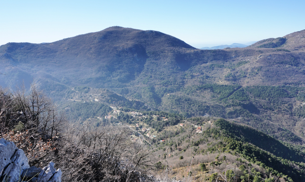 |
| Col de Castillon viewed from trail |
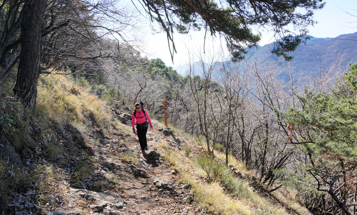 |
| Near Baisse de Scuvion |
From Col de Castillon, we walked straight north, passing the Biatonéa neighbourhood to a trail crossroads (signpost #137), and ascended to the Baisse de Scuvion (signpost #92).
It was a cloudless February day and it had not rained in several weeks. Trails were therefore dry and easy to negotiate. The temporary sign we had seen at the Baisse earlier had disappeared, but the trail was clearly visible. It turned out that the path was marked with red dots (for trail runners?). Some steep stretches needed easy scramble, but all in all the trail enabled a rapid access to the summit. We first reached the Mont Razet ridge south of the highest point on the map (1287 m), continued southeast towards the main summit a few hundred meters away, still following the red dotted trail.
 |
| Shortcut to Mont Razet |
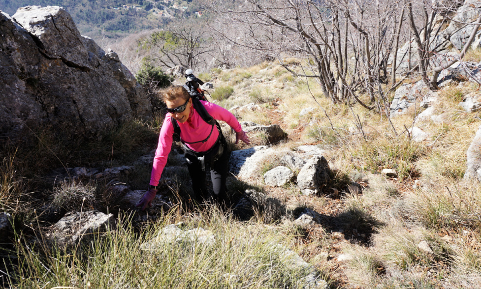 |
| Near Mont Razet Ridge |
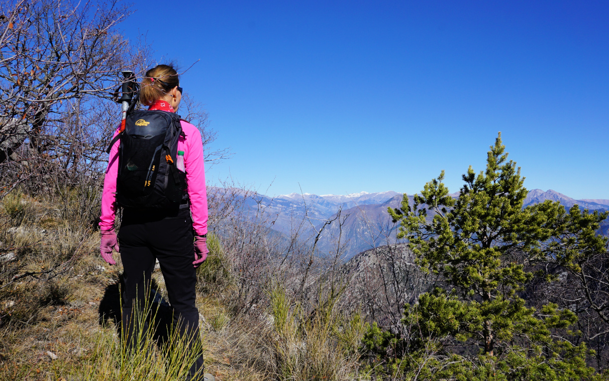 |
| Mont Razet ridge |
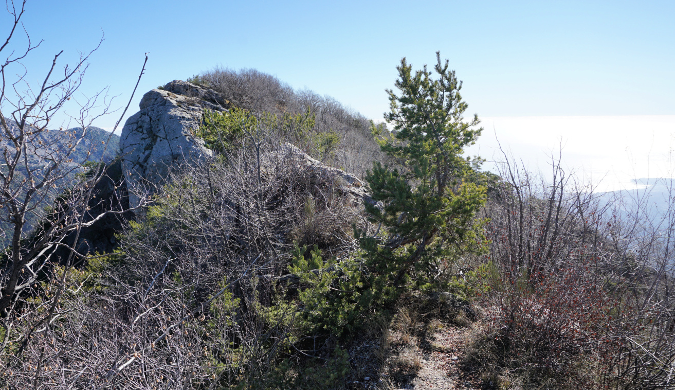 |
| Mont Razet summit seen from north |
 |
| Mont Razet summit |
After admiring the great views and absorbing the solitude, we continued to la Pierre Pointue, passing remnants of several Maginot-era bunkers, then continued to signpost #93 where we forked left and descended to Biatonéa, thus completing the loop.
Climb: 580 m
Distance: 8 km
Duration: 3h 30
Map: Nice-Menton Côte d’Azur 3742 OT
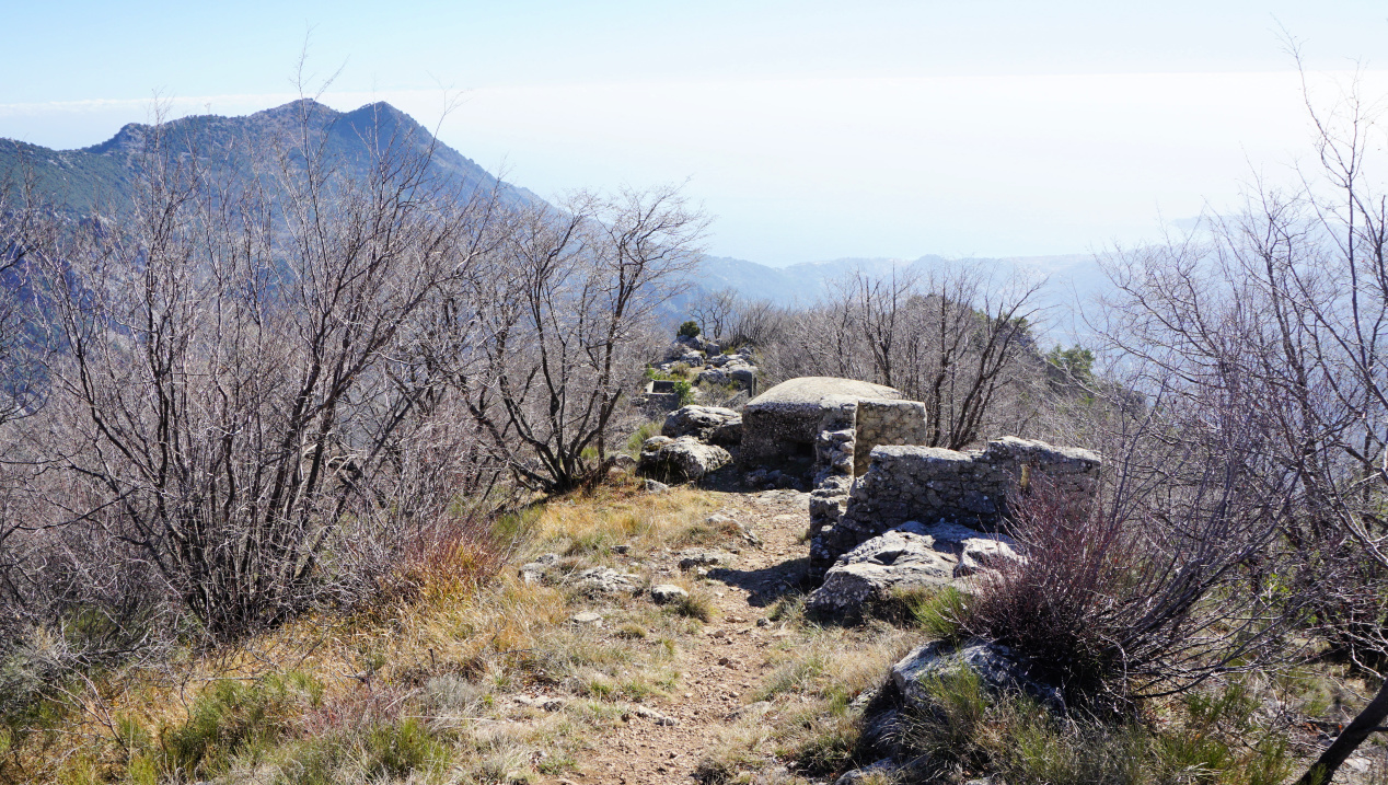 |
| Bunkers on Mont Razet ridge |
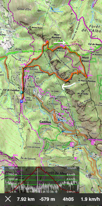 |
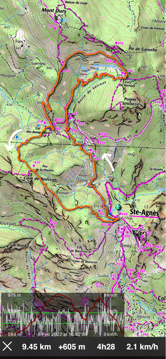
| Trail track to Mont Razet |


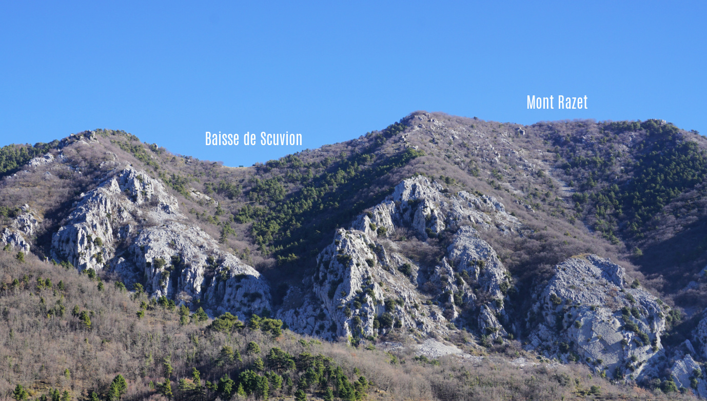









0 comments:
Note: only a member of this blog may post a comment.