Mont Cima from St-Blaise
In search of new, less visited routes, we wanted to explore the possibility to ascend from the village of St-Blaise (320 m) to Mont Cima (878 m). We have previously climbed to Mont Cima along the popular trail from Aspremont (500 m).
The north face of Mont Cima and Inarte is mostly forest-covered. There are both marked and unmarked trails on the slope. We had studied the area on maps and it should be possible to find a route to Mont Cima.
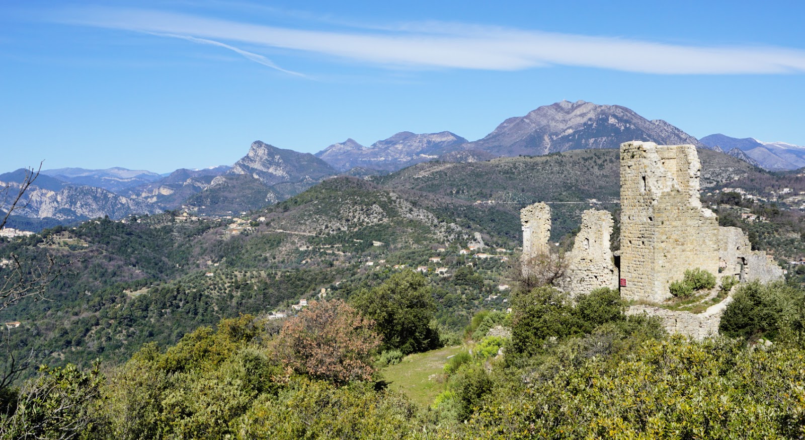
Starting from the village centre, we ascended along stairs, crossing the main road M14 three times. We walked past a small Eco museum by the road and first climbed along Chemin d’Amandier, then along a trail to signpost #826 where we took the right-hand path (Le Castel; La Gipasse) and ascended further to signpost #825. We forked right almost 180° and soon came to le Castel, ruins of a small castle perched above St-Blaise. The signposts from St-Blaise do not directly guide you to Mont Cima.
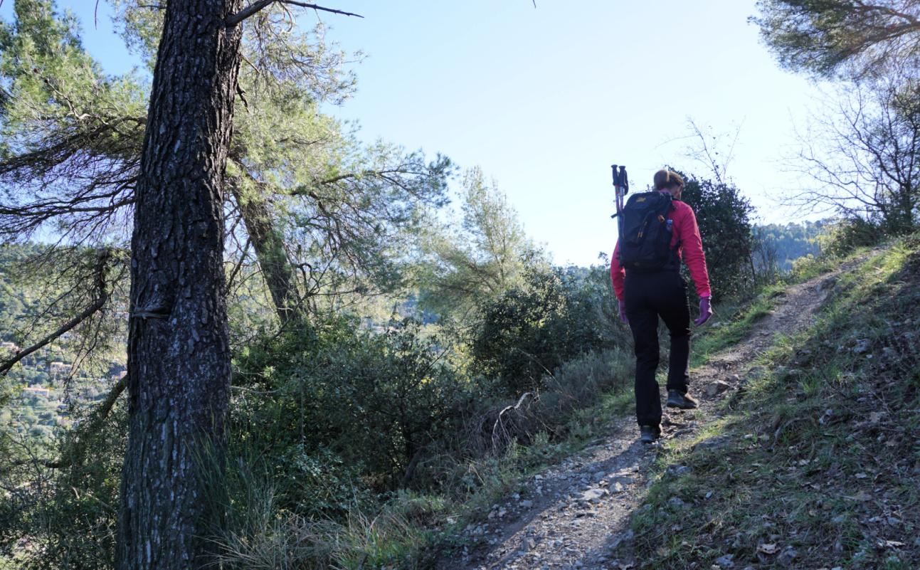
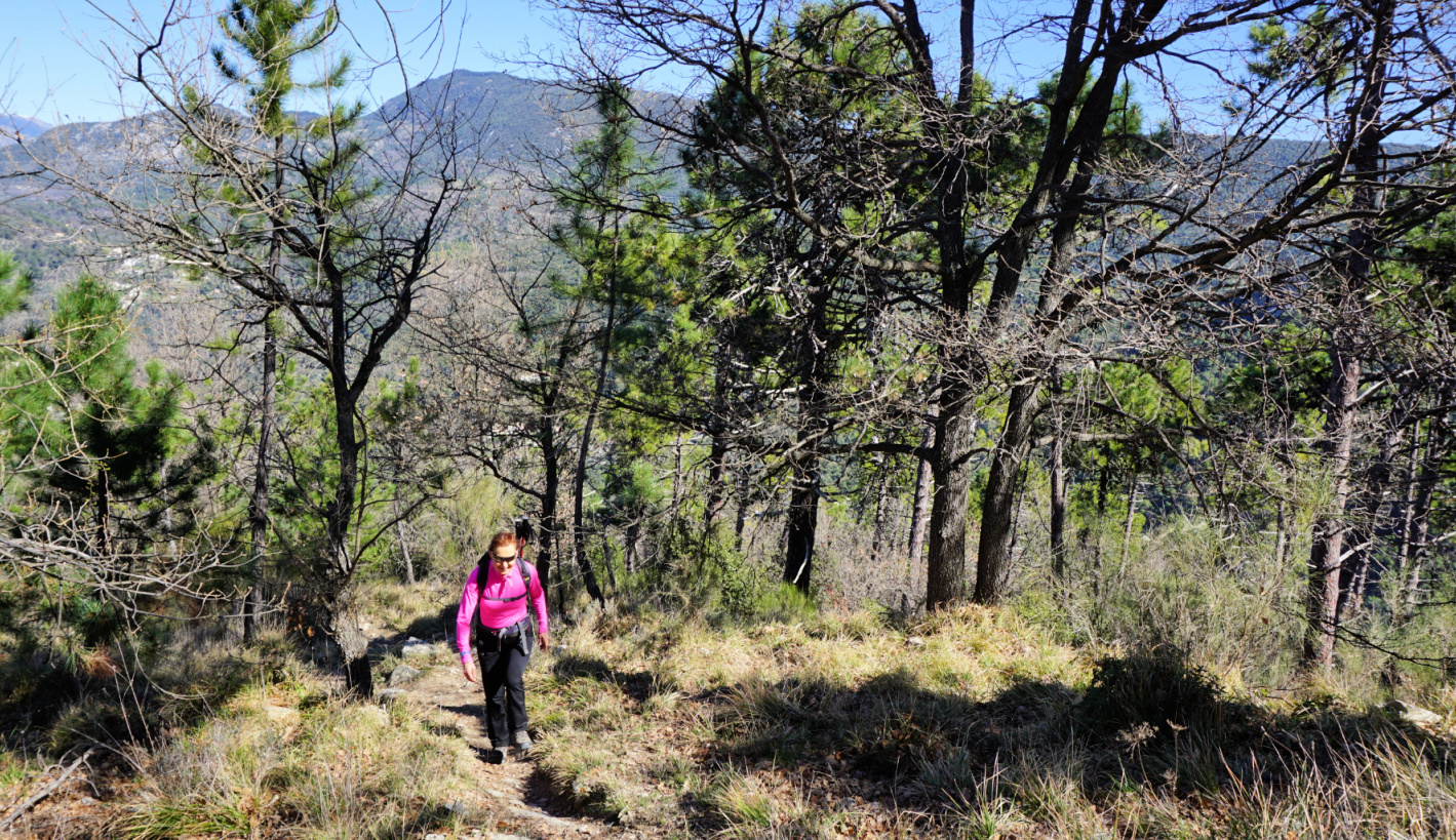
Still continuing along a marked trail (yellow), we now headed south west in the woods, quasi horizontally, along a very good path which merged with dirt track that runs along the mountain slope. We forked left, and walked along the dirt track about 500 m to a bend (arrow on the map; image). Here, we forked right and started to ascend along an unmarked trail. The trail had nevertheless some markings for mountain bikers. We climbed quite steeply to a crossroads under Mont Inarte, turned left and came to a small clearing east of Inarte. We continued southeast, and soon reached the familiar hiking path to/from Mont Cima.
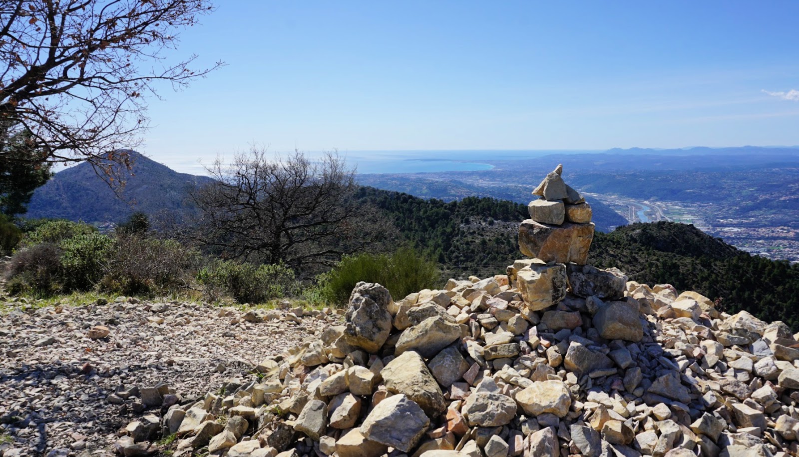
You never get tired of the panorama from Mont Cima. It is 360°, from the Riviera coastline to Mercantour summits. There are orientation tables on the mountain top.
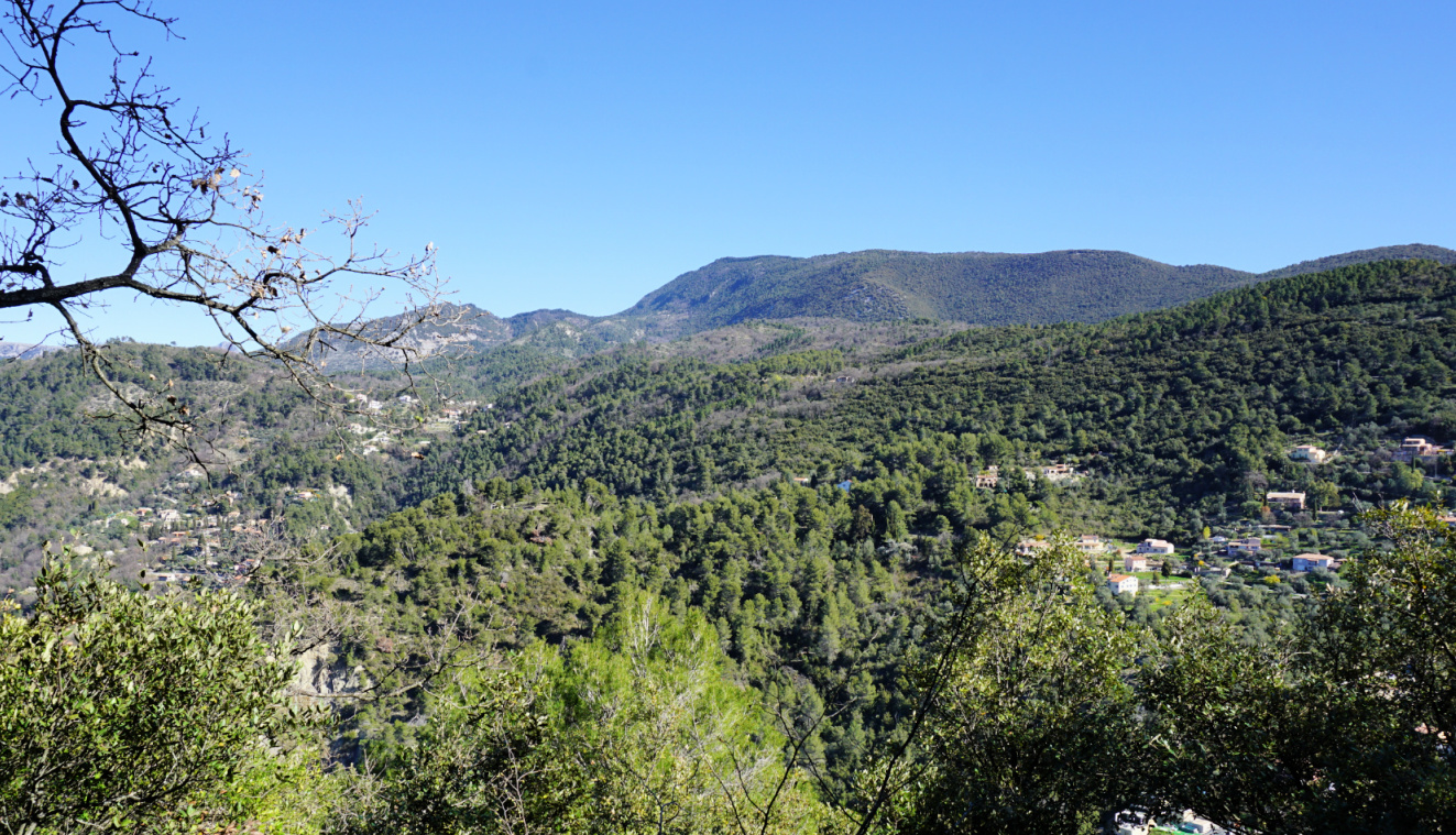
We descended along the same trail. There are many spots on this trail that offer great views to Nice hinterland as well as high peaks in the distance.
Climb: 600 m
Distance: 8.2 km
Duration: 3h 50 active time
Map: 3742 OT Nice Menton Côte d’Azur










0 comments:
Note: only a member of this blog may post a comment.